Harter Fell (Eskdale)
654m (2146ft)
The Southern Fells, The Lake District, Cumbria, England
The summit of Harter Fell (Eskdale) is marked by an Ordnance Survey Trig Point.


Not familiar with this top?
You can walk/hike to the top of Harter Fell (Eskdale) by using any of these 3 easy‑to‑follow route maps:

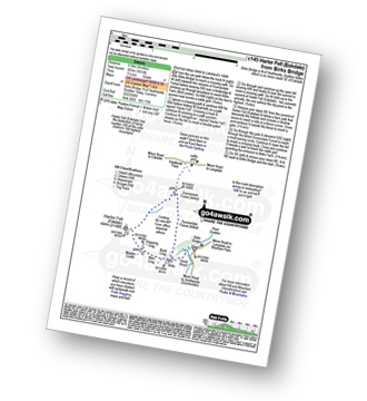
Walk c145 Harter Fell (Eskdale) from Birks Bridge
Rugged fell walking, often pathless
   |
|---|
Vital Statistics:
| Length: | 4ml (6.5km) |
|---|---|
| Ascent: | 1,651ft (503m) |
| Time: | 3.25hrs |
| Grade: |  (Moderate) (Moderate) |
Route Summary:
Birks Bridge - Birks Farm - Harter Fell (Eskdale) - Dunnerdale Forest - River Duddon - Birks Bridge


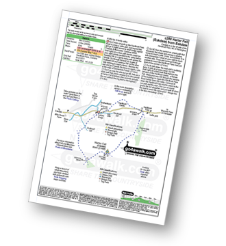
Walk c288 Harter Fell (Eskdale) from Jubilee Bridge, Eskdale
A lofty top & lovely valley
|
|---|
Vital Statistics:
| Length: | 5ml (8km) |
|---|---|
| Ascent: | 2,002ft (610m) |
| Time: | 4 hrs |
| Grade: |  (Moderate) (Moderate) |
Route Summary:
Eskdale - Jubilee Bridge - Eskdale - Dobknott Gill - Spothow Gill - Harter Fell (Eskdale) - Dunnerdale Forest - Hardknott Pass - Hardknott Castle (Roman Fort) - Jubilee Bridge - Eskdale

Walk c402 Harter Fell and Hard Knott from The Woolpack Inn, Eskdale
Some of the quieter fells
|
|---|
Vital Statistics:
| Length: | 12.25ml (19.5km) |
|---|---|
| Ascent: | 3,568ft (1,087m) |
| Time: | 8 hrs |
| Grade: |  (Hard) (Hard) |

Route Summary:
Eskdale - The Woolpack Inn - Doctor Bridge - Low Birker - Birker Force - Low Birker Tarn - Green Crag (Ulpha Fell) - Crook Crag - Harter Fell (Eskdale) - Dunnerdale Forest - Hardknott Pass - Hardknott Gill - Hard Knott - Yew Bank - Lingcove Beck - Lingcove Bridge - Great Moss - Brotherilkeld - Taw House Farm - Wha House Farm - The River Esk - The Woolpack Inn - Eskdale
See Harter Fell (Eskdale) and the surrounding tops on our free-to-access 'Google Style' Peak Bagging Maps:

The Southern Fells of The Lake District National Park
Less data - quicker to download
The Whole of The Lake District National Park
More data - might take a little longer to download
See Harter Fell (Eskdale) and the surrounding tops on our unique, downloadable, PDF Peak Bagging Maps:

NB: Whether you print off a copy or download it to your phone, these PDF Peak Baggers' Maps might prove incredibly useful when your are up there on the tops and you cannot get a phone signal.
*This version is marked with the walk routes you need to follow to Walk all 214 Wainwrights in just 59 walks.
You can find Harter Fell (Eskdale) & all the walks that climb it on these unique free-to-access Interactive Walk Planning Maps:
1:25,000 scale OS Explorer Map (orange/yellow covers):
1:50,000 scale OS Landranger Map (pink/magenta covers):
 Fellow go4awalkers who have already walked, climbed, scaled, summited, hiked & bagged Harter Fell (Eskdale)
James Hughes walked up Harter Fell (Eskdale) on April 29th, 2025 [from/via/route] c402 Harter Fell & Hard Knott from Eskdale [weather] Glorious sunny day. Warm & clear. - Up to Green Crag from Woolpack Inn. Issue locating path initially as permissive path at Low Birker overshoots it. Boggy between Green Crag & Harter Fell. Awesome views at top. Relatively easy ascent to Hard Knott. Long descent back to Woolpack Inn alongside beautiful Lingcove Beck.
Christine Shepherd climbed it on October 29th, 2009 [from/via/route] I walked from the bottom of Hardknott Pass. [with] On my own [weather] Showery - Just went up & down by the same route as my husband was waiting in the car. Climbed again from Birks Bridge on 21.11.2021 straight up & down. I came down the steep descent in the dark with a head torch.I was glad to see the car. Made my third ascent from Birks Bridge on 8.5.24. Still no view from the summit.
Ian Ashton bagged it on July 8th, 2023 [from/via/route] Jph [with] JPH
Richard Marchant hiked Harter Fell (Eskdale) on September 17th, 2022 [from/via/route] Parked at at a forest car park about 4 miles from Cockley Beck further down in Dunnerdale. From here I walked North up to Hard Knott Pass & across the road up to Hard Knott. I returned to the pass & headed south up on to Harter Fell then on again to Green Cragg. Then from here I headed Eastward across the moor to Dunnerdale Forest & descended back to the car. [with] On my Own [weather] Clear Sunny day with little or no breeze.
Kevin Foster summited on January 24th, 2022 [from/via/route] Burka Bridge. [with] By myself. [weather] Misty with low cloud. - Summit rocks quite slippery but manageable with care. Zero visibility.
To add (or remove) your name and experiences on this page - Log On and edit your Personal Mountain Bagging Record
. . . [see more walk reports]
More Photographs & Pictures of views from, on, or of, Harter Fell (Eskdale)


Duddon Valley and the Seathwaite Fells (Dow Crag & Brown Pike) from the path up Harter Fell (Eskdale)

Haycock, Little Scoat Fell, Red Pike (Wasdale), Pillar, Top of Stirrup Crag, Kirk Fell, Great Gable, Great End, Lingmell, Scafell Pike, Sca Fell, Slightside, Harter Fell (Eskdale) and Burnmoor Tarn from the summit of Yewbarrow
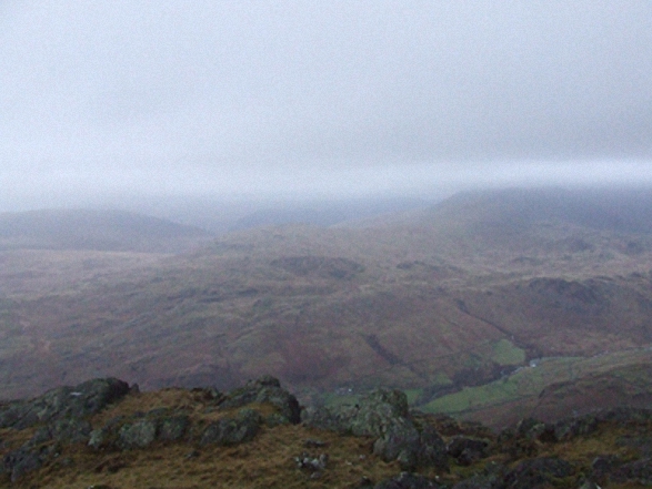

Looking south west towards Hard Knott, Harter Fell (Eskdale), Lingcove Bridge and Eskdale from the summit of Bow Fell (Bowfell)
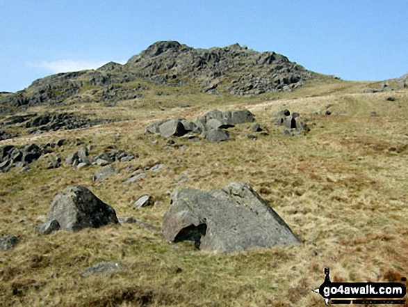

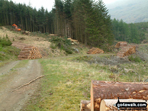

Harter Fell (Eskdale) (centre left), Cam Spout Crag and Slight Side (centre right) with Eskdale below from Ill Crag summit
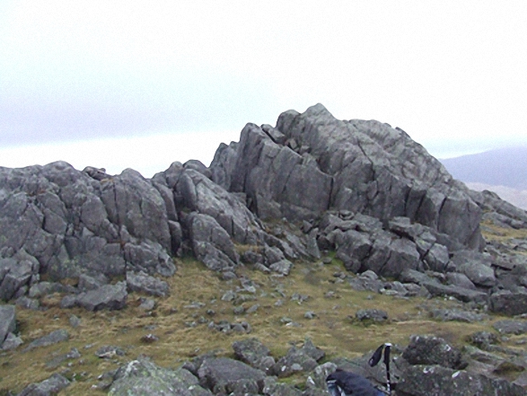
. . . see all 28 walk photographs & pictures of views from, on, or of, Harter Fell (Eskdale)
Send us your photographs and pictures on, of, or from Harter Fell (Eskdale)
If you would like to add your walk photographs and pictures to this page, please send them as email attachments (configured for any computer) along with your name to:
and we shall do our best to publish them.
(Guide Resolution = 300dpi. At least = 660pixels (wide) x 440 pixels (high).)

You can also submit photos via our Facebook Page.
NB. Please indicate where each photo was taken and whether you wish us to credit your photos with a Username or your First Name/Last Name.