UK Postcode CW12 - The 30 nearest easy-to-follow, circular walk route maps to you
The thirty nearest easy-to-follow, circular walk route maps to you in UK Postcode CW12 in Walk Grade Order
The UK cities, towns and villages in Cheshire, England that have CW12 in their UK Postcode include:
• Astbury • Brereton Heath • Brownlow Heath • Congleton • Eaton • Hightown • Hulme Walfield • Key Green • North Rode • Rodeheath • Swettenham • Timbersbrook •
Not familiar with the area around CW12?
See these 30 nearest walks to UK Postcode CW12 on a google map

   |
Vital Statistics:
| Length: | 4 miles (6.5 km) |
| Ascent: | 791 ft (241 m) |
| Time: | 2.25 hrs |
| Grade: |  |
Walk route map pdf
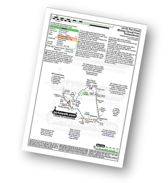
Detailed walk route map PDF
complete with GPS Waypoints
Route Summary:
Timbersbrook - The Gritstone Trail - Pool Bank - The Staffordshire Way - Folly Cottage - Cloud Plantation - The Cloud (Bosley Cloud) - Avona - Cloud Side Farm - Bridgestones Farm - Bridestones Burial Chamber - Timbersbrook


|
Vital Statistics:
| Length: | 9 miles (14.5 km) |
| Ascent: | 1,208 ft (368 m) |
| Time: | 4½ hrs |
| Grade: |  |
Walk route map pdf

Detailed walk route map PDF
complete with GPS Waypoints
Route Summary:
Timbersbrook - The Gritstone Trail - Pool Bank - The Staffordshire Way - Folly Cottage - Cloud Plantation - The Cloud (Bosley Cloud) - Avona - The Dane Valley Way - River Dane - The Macclesfield Canal - The Cheshire Ring Canal Walk - Buglawton - Brook House Farm - Pool Bank - Timbersbrook

|
Vital Statistics:
| Length: | 7.5 miles (12 km) |
| Ascent: | 1,359 ft (414 m) |
| Time: | 4.25 hrs |
| Grade: | |
Walk route map pdf

Detailed walk route map PDF
complete with GPS Waypoints
Route Summary:
Timbersbrook - The Gritstone Trail - Pool Bank - The Staffordshire Way - Folly Cottage - Cloud Plantation - The Cloud (Bosley Cloud) - Avona - The Dane Valley Way - Raven's Clough - Ravensclough Brook - Rushton Spencer - Oulton - Woodhouse Green - Bridgestones Farm - Bridestones Burial Chamber - Timbersbrook

|
Vital Statistics:
| Length: | 8.25 miles (13 km) |
| Ascent: | 804 ft (245 m) |
| Time: | 3.75 hrs |
| Grade: |  |
Walk route map pdf
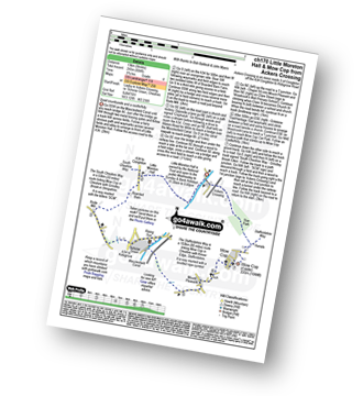
Detailed walk route map PDF
complete with GPS Waypoints
Route Summary:
Ackers Crossing - The Macclesfield Canal - The Cheshire Ring Canal Walk - Little Moreton Hall - Boarded Barn Farm - Rode Mill - Claphatches - Scholar Green - Mount Pleasant - Mow Cop (Old Man of Mow) - The Gritstone Trail - The Staffordshire Way - The South Cheshire Way - Quarry Wood - Hanging Wood - Roe Park - Ackers Crossing

|
Vital Statistics:
| Length: | 5.5 miles (9 km) |
| Ascent: | 689 ft (215 m) |
| Time: | 2.75 hrs |
| Grade: | |
Walk route map pdf
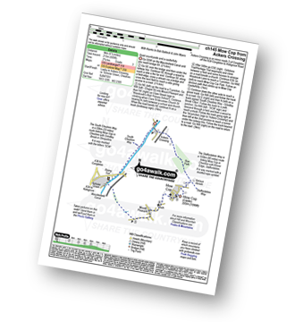
Detailed walk route map PDF
complete with GPS Waypoints
Route Summary:
Ackers Crossing - The Macclesfield Canal - The Cheshire Ring Canal Walk - Scholar Green - Mount Pleasant - Mow Cop (Old Man of Mow) - The Gritstone Trail - The Staffordshire Way - The South Cheshire Way - Quarry Wood - Hanging Wood - Roe Park - Ackers Crossing

|
Vital Statistics:
| Length: | 5.5 miles (9 km) |
| Ascent: | 115 ft (35 m) |
| Time: | 2.25 hrs |
| Grade: |  |
Walk route map pdf
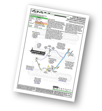
Detailed walk route map PDF
complete with GPS Waypoints
Route Summary:
Ackers Crossing - The Macclesfield Canal - The Cheshire Ring Canal Walk - Little Moreton Hall - Boarded Barn Farm - Rode Mill - Claphatches - Scholar Green - The Macclesfield Canal - Ackers Crossing

|
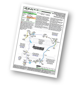
Vital Statistics:
| Length: | 7.25 miles (11.5 km) |
| Ascent: | 404 ft (123 m) |
| Time: | 3 hrs |
| Grade: | |
Walk route map pdf
Detailed walk route map PDF
complete with GPS Waypoints
Route Summary:
North Rode - Gawsworth - Oakgrove - The Macclesfield Canal - The Cheshire Ring Canal Walk - Bosley Locks - Big Dogbottom Wood - Station Wood - North Rode Manor Fish Pond - North Rode

|
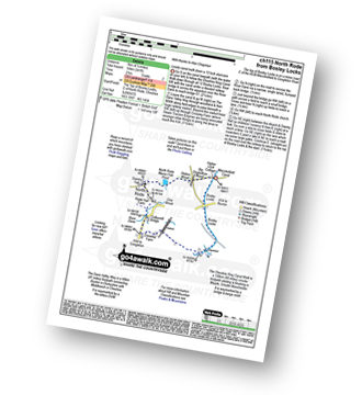
Vital Statistics:
| Length: | 4.5 miles (7 km) |
| Ascent: | 341 ft (104 m) |
| Time: | 2 hrs |
| Grade: |  |
Walk route map pdf
Detailed walk route map PDF
complete with GPS Waypoints
Route Summary:
Bosley Locks - The Macclesfield Canal - The Cheshire Ring Canal Walk - River Dane Aquaduct - Railway Viaduct - Crossley Farm - Colleymill Bridge - North Rode - North Rode Manor Fish Pond - Station Wood - Big Dogbottom Wood - Bosley Locks

|
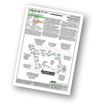
Vital Statistics:
| Length: | 5.5 miles (8.5 km) |
| Ascent: | 896 ft (273 m) |
| Time: | 3 hrs |
| Grade: | |
Walk route map pdf
Detailed walk route map PDF
complete with GPS Waypoints
Route Summary:
Rushton Spencer - Oulton - Woodhouse Green - Wood Common Farm - Avona - The Staffordshire Way - The Gritstone Trail - The Cloud (Bosley Cloud) - Bosley Cloud - Avona - The Dane Valley Way - Raven's Clough - Ravensclough Brook - Rushton Spencer

|
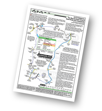
Vital Statistics:
| Length: | 9.25 miles (15 km) |
| Ascent: | 545 ft (166 m) |
| Time: | 4 hrs |
| Grade: | |
Walk route map pdf
Detailed walk route map PDF
complete with GPS Waypoints
Route Summary:
Gawsworth - Oakgrove - The Macclesfield Canal - The Cheshire Ring Canal Walk - Bosley Locks - River Dane Aquaduct - Railway Viaduct - Crossley Farm - Colleymill Bridge - North Rode - Manor Farm - Beancroft Wood - Rodegreen Farm - Gawsworth

|
Vital Statistics:
| Length: | 10 miles (16 km) |
| Ascent: | 1,404 ft (428 m) |
| Time: | 5 hrs |
| Grade: | |
Walk route map pdf

Detailed walk route map PDF
complete with GPS Waypoints
Route Summary:
Rudyard Reservoir - The Staffordshire Way - Ryecroft Gate - Rushton Spencer - Heaton Lodge Farm - Weathercock Farm - Gun End House - Gun (Staffordshire) - Fould Farm - Fould Villa - Poolend - Willgate Farm - Rudyard - Black Wood - Rudyard Reservoir

|
Vital Statistics:
| Length: | 4.5 miles (7 km) |
| Ascent: | 295 ft (90 m) |
| Time: | 2 hrs |
| Grade: | |
Walk route map pdf

Detailed walk route map PDF
complete with GPS Waypoints
Route Summary:
Rudyard Reservoir - The Staffordshire Way - Rudyard - Rea Cliffe Wood - Cliffe Park Hall - Rudyard Reservoir

|
Vital Statistics:
| Length: | 7.5 miles (12 km) |
| Ascent: | 197 ft (60 m) |
| Time: | 3 hrs |
| Grade: | |
Walk route map pdf
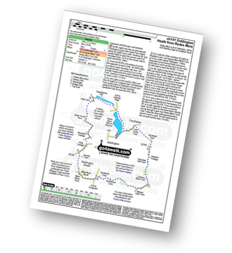
Detailed walk route map PDF
complete with GPS Waypoints
Route Summary:
Redes Mere - Redes Mere Nature Reserve - Fanshawe - Hills Green Farm - Hazelwall Farm - Henshaw Hall Farm - Heskey Wood - Snape Brook - Moss Wood - Crabtree Moss Farm - Marton Gate Farm - Northwood Farm - Sandbank Farm - Mere Moss Wood - Siddington Heath - Holly Cottage - Blake House Farm - Capesthorne Hall - Redes Mere

|
Vital Statistics:
| Length: | 4.5 miles (7 km) |
| Ascent: | 66 ft (20 m) |
| Time: | 1½ hrs |
| Grade: | |
Walk route map pdf

Detailed walk route map PDF
complete with GPS Waypoints
Route Summary:
Oakgrove - The Macclesfield Canal - The Cheshire Ring Canal Walk - Gawsworth - Oakgrove

|
Vital Statistics:
| Length: | 4.5 miles (7 km) |
| Ascent: | 266 ft (81 m) |
| Time: | 2 hrs |
| Grade: | |
Walk route map pdf
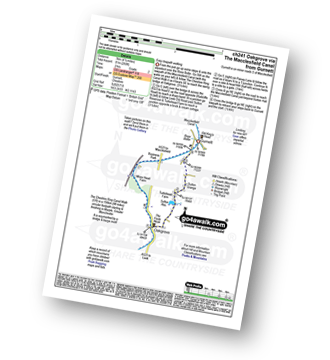
Detailed walk route map PDF
complete with GPS Waypoints
Route Summary:
Gurnett - The Macclesfield Canal - The Cheshire Ring Canal Walk - Oakgrove - Sutton Reservoir - Sutton Grange - Gurnett
Not familiar with the area around CW12?
See these 30 nearest walks to UK Postcode CW12 on a google map

|
Vital Statistics:
| Length: | 8.5 miles (13.5 km) |
| Ascent: | 1,690 ft (515 m) |
| Time: | 4.75 hrs |
| Grade: | |
Walk route map pdf
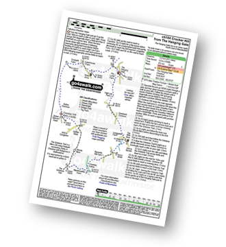
Detailed walk route map PDF
complete with GPS Waypoints
Route Summary:
The Hanging Gate - Pot Lords - High Lee Farm - Withenshaw - Cessbank Common - Longgutter - Lower Greasley Farm - Greasley Hollow - Mareknowles Farm - The Gritstone Trail - Wincle Minn - Golden Slack - Croker Hill - Sutton Common - Foxbank Farm - Higher Sutton - Lowerhouse Farm - The Hanging Gate

|
Vital Statistics:
| Length: | 9 miles (14.5 km) |
| Ascent: | 1,178 ft (359 m) |
| Time: | 4½ hrs |
| Grade: | |
Walk route map pdf
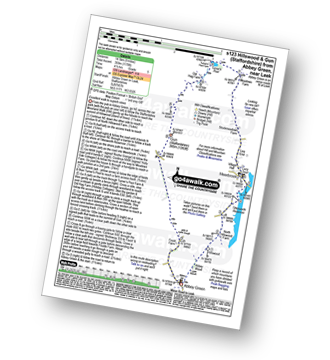
Detailed walk route map PDF
complete with GPS Waypoints
Route Summary:
Abbey Green - Abbey Wood - Hillswood - North Hillswood Farm - Tittesworth Reservoir - Meerbrook - Lea End - Stockmeadows Farm - Meadows Farm - Turner's Pool - Old Hag Farm - Gun (Staffordshire) - Fould Farm - Abbey Green

|
Vital Statistics:
| Length: | 4.75 miles (7.5 km) |
| Ascent: | 886 ft (270 m) |
| Time: | 2½ hrs |
| Grade: | |
Walk route map pdf
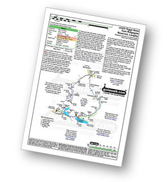
Detailed walk route map PDF
complete with GPS Waypoints
Route Summary:
Ridgegate Reservoir - Langley - Topclose Farm - Macclesfield Forest - Ashtreetop - Warrilowhead Farm - Walker Barn - Tegg's Nose Country Park - Tegg's Nose - Teggsnose Wood - Teggsnose Reservoir - Bottoms Reservoir - Langley - Ridgegate Reservoir

|
Vital Statistics:
| Length: | 7.25 miles (11.5 km) |
| Ascent: | 1,598 ft (487 m) |
| Time: | 4.25 hrs |
| Grade: | |
Walk route map pdf

Detailed walk route map PDF
complete with GPS Waypoints
Route Summary:
Ridgegate Reservoir - Leather's Smithy - Trentabank Reservoir - Higher Ridgegate - Macclesfield Forest - Shutlingsloe - Wildboarclough - Higher Nabbs Farm - Oaken Clough - Oakenclough Farm - Pot Lords - The Hanging Gate - The Gritstone Trail - Throstles Nest Farm - Ridgegate Reservoir

|
Vital Statistics:
| Length: | 6 miles (9.5 km) |
| Ascent: | 715 ft (218 m) |
| Time: | 3 hrs |
| Grade: | |
Walk route map pdf
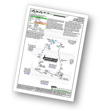
Detailed walk route map PDF
complete with GPS Waypoints
Route Summary:
Meerbrook - Lea End - Stockmeadows Farm - Meadows Farm - Turner's Pool - Old Hag Farm - Gun (Staffordshire) - Meerbrook

|
Vital Statistics:
| Length: | 8.25 miles (13 km) |
| Ascent: | 1,490 ft (454 m) |
| Time: | 4½ hrs |
| Grade: | |
Walk route map pdf
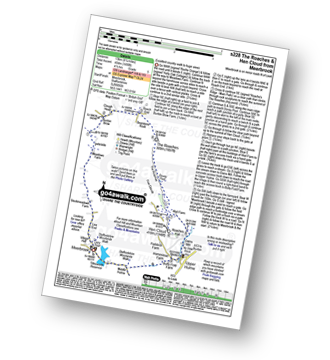
Detailed walk route map PDF
complete with GPS Waypoints
Route Summary:
Meerbrook - Lea End - Stockmeadows Farm - Meadows Farm - Buxton Brow Farm - Clough Head - Roach End - Bearstone Rock - The Roaches - Doxey Pool - Rockhall - Hen Cloud - Rockhall - Well Farm - Dains Mill - Upper Hulme - Butty Fold Farm - Tittesworth Reservoir - Meerbrook

|
Vital Statistics:
| Length: | 9.5 miles (15 km) |
| Ascent: | 358 ft (109 m) |
| Time: | 3.75 hrs |
| Grade: | |
Walk route map pdf
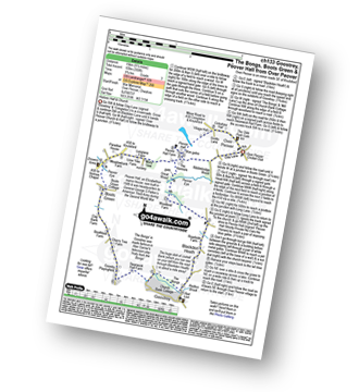
Detailed walk route map PDF
complete with GPS Waypoints
Route Summary:
Over Peover - Peover Hall - Great Wood - Peover Eye - Woodend Farm - Blackden Heath - Redlion Brook - Goostrey - The Bongs - Swanwick Hall Farm - Booth Bed Lane - Boots Green - Meadowbank Farm - Long Lane - Peover Hall - Peover Hall Church - Peover Village Hall - Over Peover

|
Vital Statistics:
| Length: | 3.25 miles (5 km) |
| Ascent: | 778 ft (237 m) |
| Time: | 2 hrs |
| Grade: | |
Walk route map pdf

Detailed walk route map PDF
complete with GPS Waypoints
Route Summary:
Roach End - Back Forest - Forest Wood - Lud's Church - Roach End - The Roaches - Roach End

|
Vital Statistics:
| Length: | 4.75 miles (7.5 km) |
| Ascent: | 1,175 ft (358 m) |
| Time: | 3 hrs |
| Grade: | |
Walk route map pdf
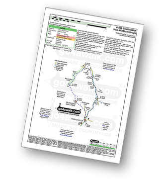
Detailed walk route map PDF
complete with GPS Waypoints
Route Summary:
Wildboarclough - Banktop Farm - Shutlingsloe Farm - Shutlingsloe - Macclesfield Forest - Ferriser - Dingers Hollow - Clough House - Wildboarclough

|
Vital Statistics:
| Length: | 5 miles (8 km) |
| Ascent: | 1,306 ft (398 m) |
| Time: | 3.25 hrs |
| Grade: | |
Walk route map pdf

Detailed walk route map PDF
complete with GPS Waypoints
Route Summary:
Gradbach - The Dane Valley Way - Gradbach Youth Hostel - The River Dane - Black Brook - Forest Wood - Lud's Church - Back Forest - Roach End - The Roaches - Roach End - Forest Wood - Black Brook - The River Dane - Gradbach Youth Hostel - The Dane Valley Way - Gradbach

|
Vital Statistics:
| Length: | 4 miles (6.5 km) |
| Ascent: | 1,306 ft (398 m) |
| Time: | 2½ hrs |
| Grade: | |
Walk route map pdf
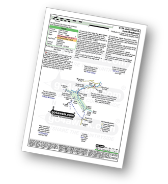
Detailed walk route map PDF
complete with GPS Waypoints
Route Summary:
Gradbach - The Dane Valley Way - Gradbach Youth Hostel - The River Dane - Black Brook - Forest Wood - Lud's Church - Back Forest - Roach End - Forest Wood - Black Brook - The River Dane - Gradbach Youth Hostel - The Dane Valley Way - Gradbach

|
Vital Statistics:
| Length: | 8.25 miles (13 km) |
| Ascent: | 1,464 ft (446 m) |
| Time: | 4½ hrs |
| Grade: | |
Walk route map pdf

Detailed walk route map PDF
complete with GPS Waypoints
Route Summary:
Gradbach - The Dane Valley Way - River Dane - Dane View House - Three Shires Head - Panniers Pool - Knotbury Farm - Wolf Edge - Oliver Hill - Flash - Lower House Farm - Flash Brook Farm - Ann Roach Rocks - Gib Torr Rocks - Moss Top - Cloughhead - Gradbach

|
Vital Statistics:
| Length: | 11.5 miles (18.5 km) |
| Ascent: | 2,274 ft (693 m) |
| Time: | 6½ hrs |
| Grade: |  |
Walk route map pdf

Detailed walk route map PDF
complete with GPS Waypoints
Route Summary:
Gradbach - The Dane Valley Way - Gradbach Youth Hostel - Black Brook - Forest Wood - Roach End - The Roaches - Doxey Pool - Rockhall - Hen Cloud - Well Farm - Dains Mill - Upper Hulme - Butty Fold Farm - Staffordshire Moorlands Walk - Tittesworth Reservoir - Meerbrook - Stockmeadows Farm - Meadows Farm - Buxton Brow - Clough Head - Back Forest - Lud's Church - Rock Chasm - Black Brook - Gradbach Youth Hostel - The Dane Valley Way - Gradbach

|
Vital Statistics:
| Length: | 11.5 miles (18.5 km) |
| Ascent: | 1,897 ft (578 m) |
| Time: | 6.25 hrs |
| Grade: | |
Walk route map pdf

Detailed walk route map PDF
complete with GPS Waypoints
Route Summary:
Gradbach - Bradley Howel - Little Hillend - Ann Roach Farm - Adder's Green - Morridge Top - Penthills Farm - Smallshaw Farm - High Ash - Bradshaw Farm - Bottom Hocker - Oakenclough Hall - Oakenclough Brook - Boarsgrove Farm - Middle Hills - Morridge - Royal Cottage - Blackbank Farm - Goldsitch Farm - Black Brook - Cloughhead - Gradbach

|
Vital Statistics:
| Length: | 4.75 miles (7.5 km) |
| Ascent: | 1,182 ft (360 m) |
| Time: | 3 hrs |
| Grade: | |
Walk route map pdf
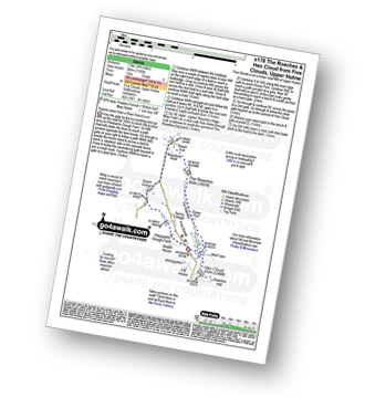
Detailed walk route map PDF
complete with GPS Waypoints
Route Summary:
Five Clouds - Pheasants Clough Farm - Roach Grange - Roach End - Bearstone Rock - The Roaches - Doxey Pool - Rockhall - Hen Cloud - Rockhall - Five Clouds
Not familiar with the area around CW12?
See these 30 nearest walks to UK Postcode CW12 on a google map