   |
Vital Statistics:
| Length: | 11½mls (18.5km) |
| Ascent: | 2,274ft (693m) |
| Time: | 6½hrs |
| Grade: |  |

Route outline for walk s116:
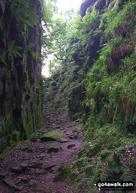
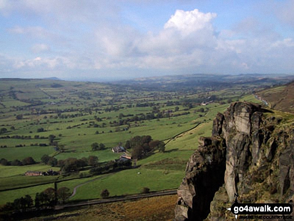
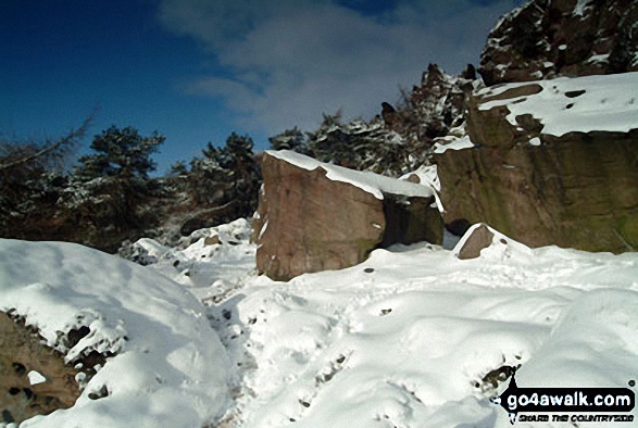
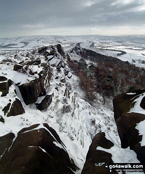
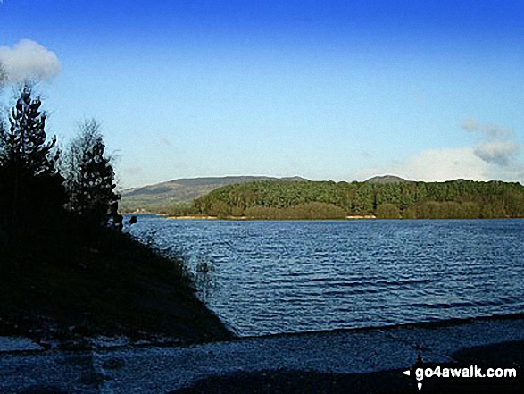
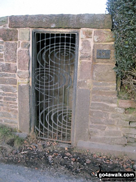
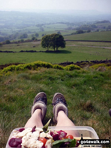
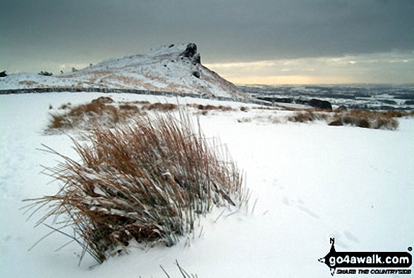
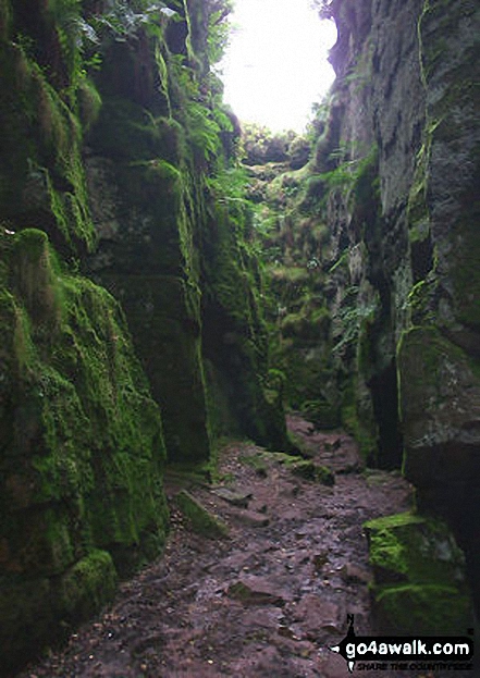
Gradbach - The Dane Valley Way - Gradbach Youth Hostel - Black Brook - Forest Wood - Roach End - The Roaches - Doxey Pool - Rockhall - Hen Cloud - Well Farm - Dains Mill - Upper Hulme - Butty Fold Farm - Staffordshire Moorlands Walk - Tittesworth Reservoir - Meerbrook - Stockmeadows Farm - Meadows Farm - Buxton Brow - Clough Head - Back Forest - Lud's Church - Rock Chasm - Black Brook - Gradbach Youth Hostel - The Dane Valley Way - Gradbach
Peaks, Summits and Tops reached on this walk:
 0 English Mountains |
 0 Wainwrights |
 0 English Nuttalls |
 1 English Dewey |
 0 Wainwright Outlying Fells |
 0 Marilyns |
 0 Bridgets |
Peak Bagging Statistics for this walk:
The highest point of this walk is The Roaches at 505m (1657ft). The Roaches is also known as an English Dewey (173rd highest in England, 399th in England & Wales) The summit of The Roaches is marked by an Ordnance Survey Trig Point.
National Trails & Long Paths included on this walk:
Part of this walk follows a section of The Dane Valley Way, a 66km (41 miles) linear footpath connecting Buxton in Derbyshire, with Middlewich in Cheshire, England. The Dane Valley Way is waymarked by the letters DVW. For more walks that include a section of this trail see The Dane Valley Way.
You can find this walk and other nearby walks on these unique free-to-access Interactive Walk Planning Maps:
1:25,000 scale OS Explorer Map (orange/yellow covers):
1:50,000 scale OS Landranger Maps (pink/magenta covers):
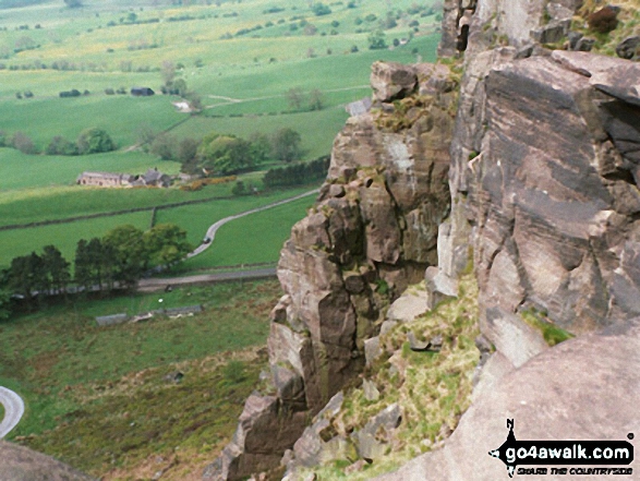
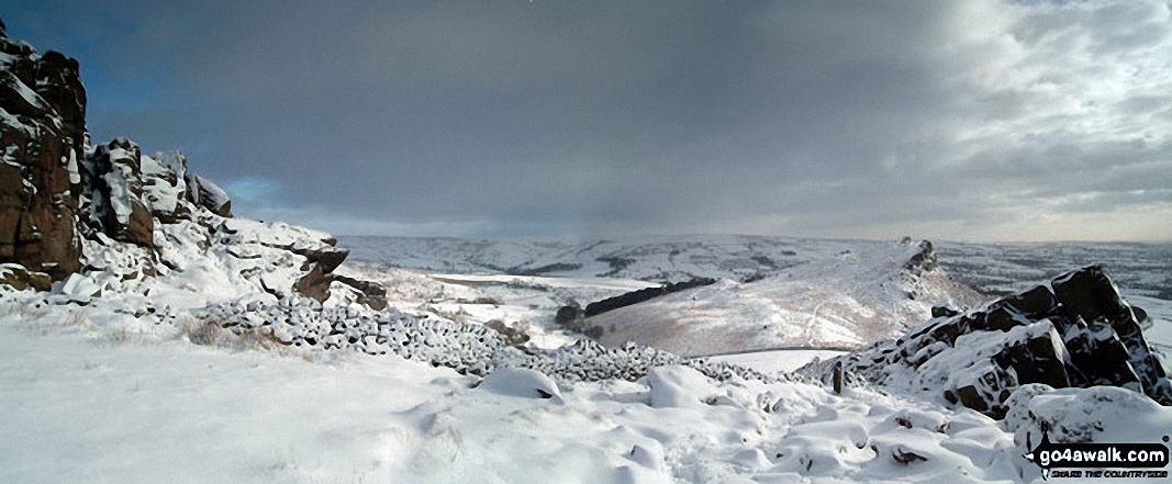
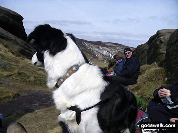
Some Photos and Pictures from Walk s116 The Roaches, Hen Cloud, Meerbrook and Lud's Church from Gradbach
In no particular order . . .


Send us your photographs and pictures from your walks and hikes
We would love to see your photographs and pictures from walk s116 The Roaches, Hen Cloud, Meerbrook and Lud's Church from Gradbach. Send them in to us as email attachments (configured for any computer) along with your name and where the picture was taken to:
and we shall do our best to publish them.
(Guide Resolution = 300dpi. At least = 660 pixels (wide) x 440 pixels (high).)

You can also submit photos from walk s116 The Roaches, Hen Cloud, Meerbrook and Lud's Church from Gradbach via our Facebook Page.
NB. Please indicate where each photo was taken.


