   |
Vital Statistics:
| Length: | 8¼mls (13km) |
| Ascent: | 1,464ft (446m) |
| Time: | 4½hrs |
| Grade: |  |

Route outline for walk s107:
Gradbach - The Dane Valley Way - River Dane - Dane View House - Three Shires Head - Panniers Pool - Knotbury Farm - Wolf Edge - Oliver Hill - Flash - Lower House Farm - Flash Brook Farm - Ann Roach Rocks - Gib Torr Rocks - Moss Top - Cloughhead - Gradbach
Points of Interest/Notes on this walk:
At 463m (1518ft) Flash is claimed to be the highest village in England. However, the New Inn is only the third highest pub in England.
Peaks, Summits and Tops reached on this walk:
 0 English Mountains |
 0 Wainwrights |
 0 English Nuttalls |
 1 English Dewey |
 0 Wainwright Outlying Fells |
 0 Marilyns |
 0 Bridgets |
Peak Bagging Statistics for this walk:
The highest point of this walk is Oliver Hill at 513m (1684ft). Oliver Hill is also known as an English Dewey (154th highest in England, 354th in England & Wales)
National Trails & Long Paths included on this walk:
Part of this walk follows a section of The Dane Valley Way, a 66km (41 miles) linear footpath connecting Buxton in Derbyshire, with Middlewich in Cheshire, England. The Dane Valley Way is waymarked by the letters DVW. For more walks that include a section of this trail see The Dane Valley Way.
You can find this walk and other nearby walks on these unique free-to-access Interactive Walk Planning Maps:
1:25,000 scale OS Explorer Map (orange/yellow covers):
1:50,000 scale OS Landranger Maps (pink/magenta covers):
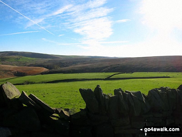
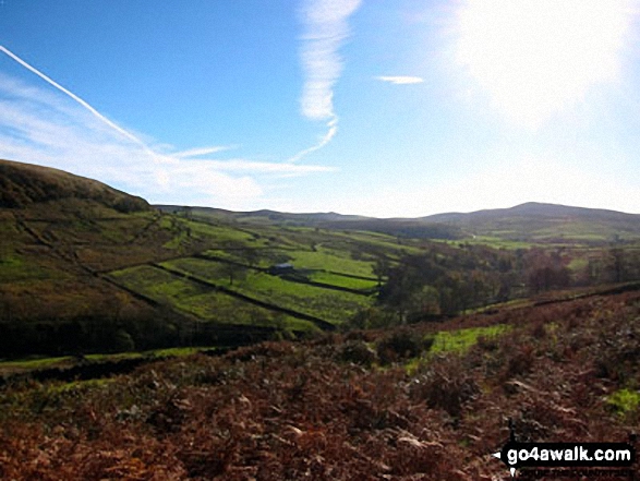
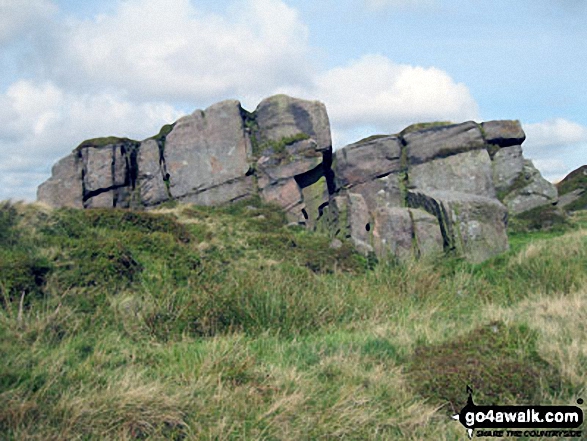
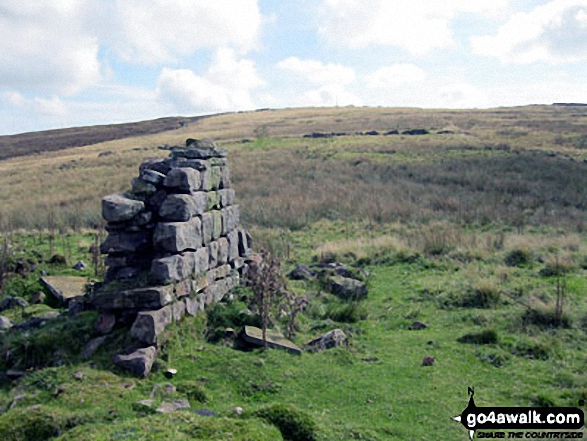
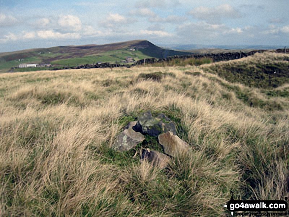
Some Photos and Pictures from Walk s107 Three Shires Head, Oliver Hill and Flash from Gradbach
In no particular order . . .


Send us your photographs and pictures from your walks and hikes
We would love to see your photographs and pictures from walk s107 Three Shires Head, Oliver Hill and Flash from Gradbach. Send them in to us as email attachments (configured for any computer) along with your name and where the picture was taken to:
and we shall do our best to publish them.
(Guide Resolution = 300dpi. At least = 660 pixels (wide) x 440 pixels (high).)

You can also submit photos from walk s107 Three Shires Head, Oliver Hill and Flash from Gradbach via our Facebook Page.
NB. Please indicate where each photo was taken.


