|
Vital Statistics:
| Length: | 4½mls (7km) |
| Ascent: | 295ft (90m) |
| Time: | 2hrs |
| Grade: |  |

Route outline for walk s164:
Rudyard Reservoir - The Staffordshire Way - Rudyard - Rea Cliffe Wood - Cliffe Park Hall - Rudyard Reservoir


Points of Interest/Notes on this walk:
Rudyard Reservoir was constructed in the late 18th century to feed the Caldon Canal. During the 19th century, it was a popular destination for daytrippers taking advantage of easy access using the newly constructed North Staffordshire Railway. Visitors included John Lockwood Kipling & Alice Macdonald, the parents of Rudyard Kipling, who met there on a trip from Burslem. They liked the place so much they named their son after it.
National Trails & Long Paths included on this walk:
Part of this walk follows a section of The Staffordshire Way, a 153km (95 miles) linear footpath connecting Mow Cop in Cheshire, England with Kinver Edge in Staffordshire, England. The Staffordshire Way is waymarked by a knotted rope motif. For more walks that include a section of this trail see The Staffordshire Way.
You can find this walk and other nearby walks on these unique free-to-access Interactive Walk Planning Maps:
1:25,000 scale OS Explorer Map (orange/yellow covers):
1:50,000 scale OS Landranger Map (pink/magenta covers):
Some Photos and Pictures from Walk s164 A circuit of Rudyard Reservoir
In no particular order . . .

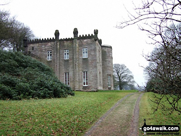
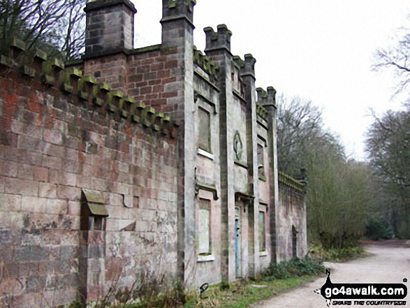

Send us your photographs and pictures from your walks and hikes
We would love to see your photographs and pictures from walk s164 A circuit of Rudyard Reservoir. Send them in to us as email attachments (configured for any computer) along with your name and where the picture was taken to:
and we shall do our best to publish them.
(Guide Resolution = 300dpi. At least = 660 pixels (wide) x 440 pixels (high).)

You can also submit photos from walk s164 A circuit of Rudyard Reservoir via our Facebook Page.
NB. Please indicate where each photo was taken.