The 30 nearest, easy-to-follow, circular walks, routes & maps to UK Postcode B17

The thirty nearest, easy-to-follow, circular walks, routes & maps to UK Postcode B17 in Walk Grade Order

Walk 1 Walking Bootprint Icon

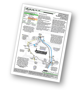
Walk sh109 Chelmarsh and Hampton Loade from Eardington

Riverside stroll and an ancient church

Download GPS Waypoint Data for walk sh109
Download GPX Waypoint Data for walk sh109
Download Map and Route Details for walk sh109

Vital Statistics:

Length:5.25 miles (8.5 km)
Ascent:532ft (162m)
Time:2½ hrs
Grade:Grade 3 Walking Easy
Walk 2 Walking Bootprint Icon

Walk sh128 The River Severn, Quatford, Roughton, Rindleford, Fenn Gate and High Rock from Bridgnorth

A fine varied walk in Shropshire

Download GPS Waypoint Data for walk sh128
Download GPX Waypoint Data for walk sh128
Download Map and Route Details for walk sh128

Vital Statistics:

Length:9.5 miles (15.5 km)
Ascent:1,132ft (345m)
Time:4.75hrs
Grade:Grade 5 Walking Moderate
Walk 3 Walking Bootprint Icon

Walk sh201 The River Severn and Nordley from Bridgnorth

Riverside paths & quiet villages

Download GPS Waypoint Data for walk sh201
Download GPX Waypoint Data for walk sh201
Download Map and Route Details for walk sh201

Vital Statistics:

Length:10 miles (16 km)
Ascent:722ft (220m)
Time:4.25hrs
Grade:Grade 4 Walking Moderate
Walk 4 Walking Bootprint Icon

Walk wa164 Clifford Chambers from Stratford-upon-Avon

Shakespeare country

Download GPS Waypoint Data for walk wa164
Download GPX Waypoint Data for walk wa164
Download Map and Route Details for walk wa164

Vital Statistics:

Length:7 miles (11 km)
Ascent:151ft (46m)
Time:2.75hrs
Grade:Grade 2 Walking Easy
Walk 5 Walking Bootprint Icon

Walk sh101 Brown Clee Hill from Cleobury North

Shropshire's highest point

Download GPS Waypoint Data for walk sh101
Download GPX Waypoint Data for walk sh101
Download Map and Route Details for walk sh101

Vital Statistics:

Length:6.5 miles (10.5 km)
Ascent:1,152ft (351m)
Time:3½ hrs
Grade:Grade 4 Walking Moderate
Walk 6 Walking Bootprint Icon

Walk le101 Donisthorpe Woodland Park from The Conkers Discovery Centre, Swadlincote

A former railway line & regenerated parkland

Download GPS Waypoint Data for walk le101
Download GPX Waypoint Data for walk le101
Download Map and Route Details for walk le101

Vital Statistics:

Length:3.5 miles (5.5 km)
Ascent:289ft (88m)
Time:1.75hrs
Grade:Grade 1 Walking Easy
Walk 7 Walking Bootprint Icon

Walk sh115 Titterstone Clee Hill from Dhustone

Shropshire's 2nd highest point

Download GPS Waypoint Data for walk sh115
Download GPX Waypoint Data for walk sh115
Download Map and Route Details for walk sh115

Vital Statistics:

Length:4 miles (6.5 km)
Ascent:1,011ft (308m)
Time:2½ hrs
Grade:Grade 3 Walking Easy
Walk 8 Walking Bootprint Icon

Walk sh100 The Wrekin from Buckatree Farm Reservoir

Superb expansive Shropshire views

Download GPS Waypoint Data for walk sh100
Download GPX Waypoint Data for walk sh100
Download Map and Route Details for walk sh100

Vital Statistics:

Length:3.75 miles (6 km)
Ascent:1,004ft (306m)
Time:2½ hrs
Grade:Grade 3 Walking Easy
Walk 9 Walking Bootprint Icon

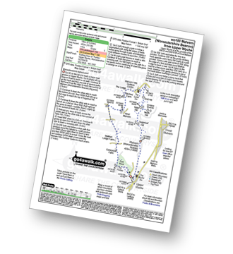
Walk wo100 Malvern (Worcestershire Beacon) from Upper Wyche

Worcestershire's highest point

Download GPS Waypoint Data for walk wo100
Download GPX Waypoint Data for walk wo100
Download Map and Route Details for walk wo100

Vital Statistics:

Length:6.25 miles (10 km)
Ascent:1,615ft (492m)
Time:4 hrs
Grade:Grade 5 Walking Moderate
Walk 10 Walking Bootprint Icon

Walk sh147 The Lawley from nr Leebotwood

Gentle uphill walk to superb views

Download GPS Waypoint Data for walk sh147
Download GPX Waypoint Data for walk sh147
Download Map and Route Details for walk sh147

Vital Statistics:

Length:4 miles (6.5 km)
Ascent:712ft (217m)
Time:2.25hrs
Grade:Grade 3 Walking Easy
Walk 11 Walking Bootprint Icon

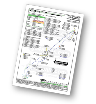
Walk sh134 Caer Caradoc Hill and The Lawley

Glorious Shropshire views

Download GPS Waypoint Data for walk sh134
Download GPX Waypoint Data for walk sh134
Download Map and Route Details for walk sh134

Vital Statistics:

Length:8.5 miles (13.5 km)
Ascent:1,791ft (546m)
Time:5 hrs
Grade:Grade 5 Walking Moderate
Walk 12 Walking Bootprint Icon

Walk gl103 Longborough, Donnington and Broadwell from Moreton-in-Marsh

Lovely country walking through the Cotswolds

Download GPS Waypoint Data for walk gl103
Download GPX Waypoint Data for walk gl103
Download Map and Route Details for walk gl103

Vital Statistics:

Length:10.25 miles (16.5 km)
Ascent:463ft (141m)
Time:4.25hrs
Grade:Grade 3 Walking Easy
Walk 13 Walking Bootprint Icon

Walk gl186 Hailes Abbey from Winchcombe

Superb rolling scenery

Download GPS Waypoint Data for walk gl186
Download GPX Waypoint Data for walk gl186
Download Map and Route Details for walk gl186

Vital Statistics:

Length:8.5 miles (13.5 km)
Ascent:951ft (290m)
Time:4 hrs
Grade:Grade 4 Walking Moderate
Walk 14 Walking Bootprint Icon

Walk sh112 Haughmond Abbey from Uffington

An easy walk along field paths and lanes

Download GPS Waypoint Data for walk sh112
Download GPX Waypoint Data for walk sh112
Download Map and Route Details for walk sh112

Vital Statistics:

Length:4.75 miles (7.5 km)
Ascent:295ft (90m)
Time:2 hrs
Grade:Grade 2 Walking Easy
Walk 15 Walking Bootprint Icon

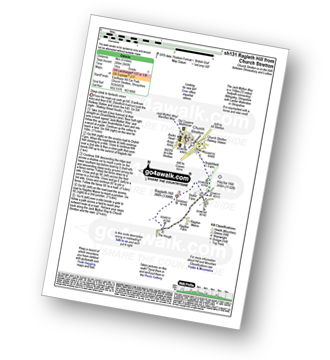
Walk sh131 Ragleth Hill from Church Stretton

Steep ascent to fantastic views

Download GPS Waypoint Data for walk sh131
Download GPX Waypoint Data for walk sh131
Download Map and Route Details for walk sh131

Vital Statistics:

Length:5.25 miles (8.5 km)
Ascent:945ft (288m)
Time:3 hrs
Grade:Grade 3 Walking Easy
Walk 16 Walking Bootprint Icon

Walk sh113 Caer Caradoc Hill from Church Stretton

Steep ascent to fabulous views

Download GPS Waypoint Data for walk sh113
Download GPX Waypoint Data for walk sh113
Download Map and Route Details for walk sh113

Vital Statistics:

Length:7 miles (11 km)
Ascent:1,214ft (370m)
Time:3.75hrs
Grade:Grade 4 Walking Moderate
Walk 17 Walking Bootprint Icon

Walk sh103 Ragleth Hill and Caer Caradoc Hill from Church Stretton

Two steep ascents to bag two Bridgets

Download GPS Waypoint Data for walk sh103
Download GPX Waypoint Data for walk sh103
Download Map and Route Details for walk sh103

Vital Statistics:

Length:10.25 miles (16.5 km)
Ascent:2,435ft (742m)
Time:6.25hrs
Grade:Grade 6 Walking Moderate
Walk 18 Walking Bootprint Icon

Walk sh152 Ragleth Hill and Little Stretton from Church Stretton

Steep uphill walk but the views are fantastic!

Download GPS Waypoint Data for walk sh152
Download GPX Waypoint Data for walk sh152
Download Map and Route Details for walk sh152

Vital Statistics:

Length:5.75 miles (9 km)
Ascent:1,027ft (313m)
Time:3.25hrs
Grade:Grade 4 Walking Moderate
Walk 19 Walking Bootprint Icon

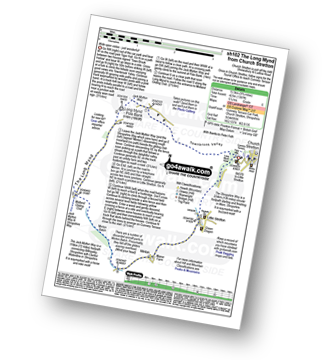
Walk sh102 Pole Bank and The Long Mynd from Church Stretton

Wide open vistas

Download GPS Waypoint Data for walk sh102
Download GPX Waypoint Data for walk sh102
Download Map and Route Details for walk sh102

Vital Statistics:

Length:8.75 miles (14 km)
Ascent:1,387ft (423m)
Time:4.75hrs
Grade:Grade 5 Walking Moderate
Walk 20 Walking Bootprint Icon

Walk no119 Everdon from Badby

Quiet country paths

Download GPS Waypoint Data for walk no119
Download GPX Waypoint Data for walk no119
Download Map and Route Details for walk no119

Vital Statistics:

Length:7 miles (11 km)
Ascent:771ft (235m)
Time:3.25hrs
Grade:Grade 4 Walking Moderate
Walk 21 Walking Bootprint Icon

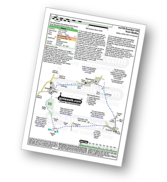
Walk no100 Arbury Hill from Badby

The highest point in Northamptonshire

Download GPS Waypoint Data for walk no100
Download GPX Waypoint Data for walk no100
Download Map and Route Details for walk no100

Vital Statistics:

Length:5.5 miles (9 km)
Ascent:499ft (152m)
Time:2½ hrs
Grade:Grade 3 Walking Easy
Walk 22 Walking Bootprint Icon

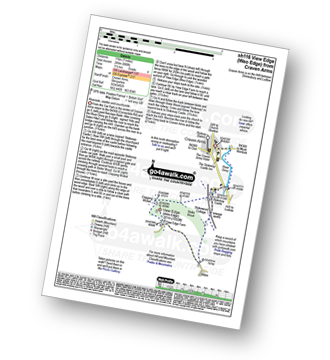
Walk sh116 View Edge (Weo Edge) from Craven Arms

Riverside, castles and countryside

Download GPS Waypoint Data for walk sh116
Download GPX Waypoint Data for walk sh116
Download Map and Route Details for walk sh116

Vital Statistics:

Length:7 miles (11 km)
Ascent:880ft (268m)
Time:3½ hrs
Grade:Grade 4 Walking Moderate
Walk 23 Walking Bootprint Icon

Walk sh166 Callow Hill and Westhope from Craven Arms

The Highest point on Wenlock Edge

Download GPS Waypoint Data for walk sh166
Download GPX Waypoint Data for walk sh166
Download Map and Route Details for walk sh166

Vital Statistics:

Length:10.25 miles (16.5 km)
Ascent:1,526ft (465m)
Time:5.25hrs
Grade:Grade 6 Walking Moderate
Walk 24 Walking Bootprint Icon

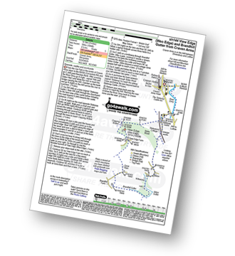
Walk sh144 View Edge (Weo Edge) and Brandhill Gutter from Craven Arms

Riverside, castles and countryside

Download GPS Waypoint Data for walk sh144
Download GPX Waypoint Data for walk sh144
Download Map and Route Details for walk sh144

Vital Statistics:

Length:9 miles (14.5 km)
Ascent:1,004ft (306m)
Time:4½ hrs
Grade:Grade 5 Walking Moderate
Walk 25 Walking Bootprint Icon

Walk sh105 Callow Hill from Craven Arms

The Highest point on Wenlock Edge

Download GPS Waypoint Data for walk sh105
Download GPX Waypoint Data for walk sh105
Download Map and Route Details for walk sh105

Vital Statistics:

Length:6.5 miles (10.5 km)
Ascent:853ft (260m)
Time:3.25hrs
Grade:Grade 4 Walking Moderate
Walk 26 Walking Bootprint Icon

Walk no120 The Jurassic Way from Watford

Easy country walking on field paths

Download GPS Waypoint Data for walk no120
Download GPX Waypoint Data for walk no120
Download Map and Route Details for walk no120

Vital Statistics:

Length:5.75 miles (9 km)
Ascent:226ft (69m)
Time:2½ hrs
Grade:Grade 2 Walking Easy
Walk 27 Walking Bootprint Icon

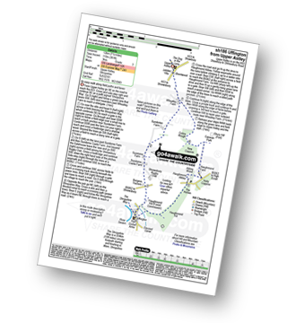
Walk sh186 Uffington from Upper Astley

An easy walk along paths and lanes

Download GPS Waypoint Data for walk sh186
Download GPX Waypoint Data for walk sh186
Download Map and Route Details for walk sh186

Vital Statistics:

Length:7.5 miles (12 km)
Ascent:361ft (110m)
Time:3 hrs
Grade:Grade 3 Walking Easy
Walk 28 Walking Bootprint Icon

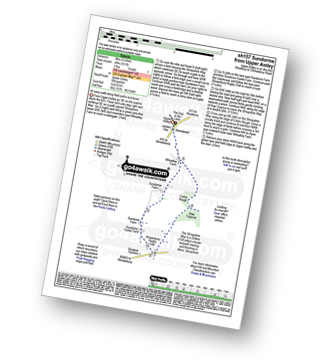
Walk sh157 Sundorme from Upper Astley

An easy walk along paths and lanes

Download GPS Waypoint Data for walk sh157
Download GPX Waypoint Data for walk sh157
Download Map and Route Details for walk sh157

Vital Statistics:

Length:5 miles (8 km)
Ascent:161ft (49m)
Time:2 hrs
Grade:Grade 1 Walking Easy
Walk 29 Walking Bootprint Icon

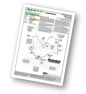
Walk sh110 Booley and Blakeleyhill from Stanton upon Hine Heath

Quiet lanes and field paths

Download GPS Waypoint Data for walk sh110
Download GPX Waypoint Data for walk sh110
Download Map and Route Details for walk sh110

Vital Statistics:

Length:6.25 miles (10 km)
Ascent:295ft (90m)
Time:2½ hrs
Grade:Grade 2 Walking Easy
Walk 30 Walking Bootprint Icon

Walk gl154 Donnington from Stow-on-the-Wold

Fine views across the Cotswolds

Download GPS Waypoint Data for walk gl154
Download GPX Waypoint Data for walk gl154
Download Map and Route Details for walk gl154

Vital Statistics:

Length:6 miles (9.5 km)
Ascent:508ft (155m)
Time:2½ hrs
Grade:Grade 3 Walking Easy


Follow go4awalk.com on Twitter Follow go4awalk.com on Facebook