22 easy to follow walk route maps of all grades in The North Downs of

Tap/mouse over a coloured circle (1-3 easy walks, 4-6 moderate walks, 7-9 hard walks) and click to select.


You can use these checkboxes to show only the grades of walk you are interested in:-

Grade

Easy

Grade

Easy

Grade

Easy

Grade

Moderate

Grade

Moderate

Grade

Moderate

Grade

Hard

Grade

Hard

Grade

Very Hard


Twenty-two easy-to-follow walk route maps of all grades in The North Downs of in Walk Time Order (Shortest to Longest)

Scroll down the list of walks below & click on each walk title (in blue) to locate it on the map above.


See this list of walks, routes & maps in:

Grade Order | Length Order | Time Order | Walk Number or Start Location Order
NB. To reverse (toggle) this order, click Time Order (Shortest to Longest) again

Walk 1 Walking Bootprint Icon

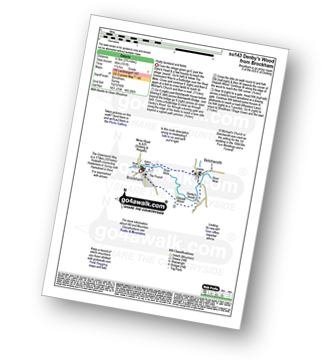
Walk su143 Denby's Wood from Brockham

Pretty farmland and fields

Download GPS Waypoint Data for walk su143
Download GPX Waypoint Data for walk su143
Download Map and Route Details for walk su143

Vital Statistics:

Length:2.75 miles (4.5 km)
Ascent:151ft (46m)
Time:1.25hrs
Grade:Grade 1 Walking Easy
Walk 2 Walking Bootprint Icon

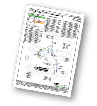
Walk su142 Swains Farm from Leigh

Quiet country paths

Download GPS Waypoint Data for walk su142
Download GPX Waypoint Data for walk su142
Download Map and Route Details for walk su142

Vital Statistics:

Length:4.5 miles (7 km)
Ascent:151ft (46m)
Time:1.75hrs
Grade:Grade 1 Walking Easy
Walk 3 Walking Bootprint Icon

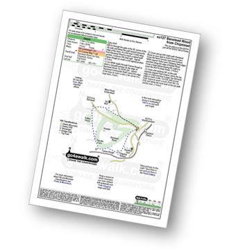
Walk su127 Banstead Wood from Chipstead

Easy stroll

Download GPS Waypoint Data for walk su127
Download GPX Waypoint Data for walk su127
Download Map and Route Details for walk su127

Vital Statistics:

Length:3.75 miles (6 km)
Ascent:387ft (118m)
Time:1.75hrs
Grade:Grade 2 Walking Easy
Walk 4 Walking Bootprint Icon

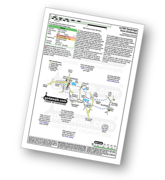
Walk su168 Tandridge from Godstone

Delightful footpaths and bridleways

Download GPS Waypoint Data for walk su168
Download GPX Waypoint Data for walk su168
Download Map and Route Details for walk su168

Vital Statistics:

Length:4 miles (6.5 km)
Ascent:420ft (128m)
Time:2 hrs
Grade:Grade 2 Walking Easy
Walk 5 Walking Bootprint Icon

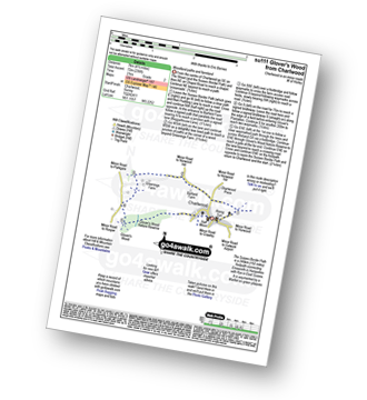
Walk su111 Glover's Wood from Charlwood

Woodland paths and farmland

Download GPS Waypoint Data for walk su111
Download GPX Waypoint Data for walk su111
Download Map and Route Details for walk su111

Vital Statistics:

Length:4.5 miles (7 km)
Ascent:236ft (72m)
Time:2 hrs
Grade:Grade 2 Walking Easy
Walk 6 Walking Bootprint Icon

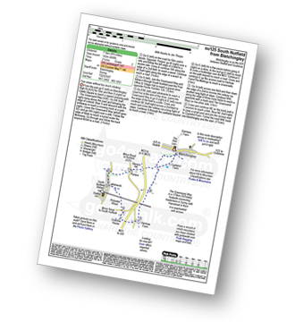
Walk su125 South Nutfield from Bletchingley

Fine views without too much climbing

Download GPS Waypoint Data for walk su125
Download GPX Waypoint Data for walk su125
Download Map and Route Details for walk su125

Vital Statistics:

Length:4.75 miles (7.5 km)
Ascent:466ft (142m)
Time:2.25hrs
Grade:Grade 2 Walking Easy
Walk 7 Walking Bootprint Icon

Walk su116 Haxted Mill from Lingfield

Quiet Lanes and field paths

Download GPS Waypoint Data for walk su116
Download GPX Waypoint Data for walk su116
Download Map and Route Details for walk su116

Vital Statistics:

Length:6.25 miles (10 km)
Ascent:141ft (43m)
Time:2½ hrs
Grade:Grade 3 Walking Easy
Walk 8 Walking Bootprint Icon

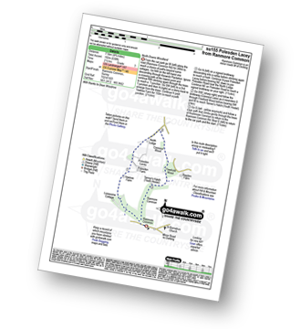
Walk su155 Polesden Lacey from Ranmore Common

North Downs Woodland

Download GPS Waypoint Data for walk su155
Download GPX Waypoint Data for walk su155
Download Map and Route Details for walk su155

Vital Statistics:

Length:4.75 miles (7.5 km)
Ascent:630ft (192m)
Time:2½ hrs
Grade:Grade 3 Walking Easy
Walk 9 Walking Bootprint Icon

Walk su152 Walton on the Hill from Epsom Racecourse

The famous race course & downs

Download GPS Waypoint Data for walk su152
Download GPX Waypoint Data for walk su152
Download Map and Route Details for walk su152

Vital Statistics:

Length:5.5 miles (9 km)
Ascent:466ft (142m)
Time:2½ hrs
Grade:Grade 3 Walking Easy
Walk 10 Walking Bootprint Icon

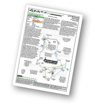
Walk su117 Betchworth from Leigh

Tranquil country paths

Download GPS Waypoint Data for walk su117
Download GPX Waypoint Data for walk su117
Download Map and Route Details for walk su117

Vital Statistics:

Length:6.25 miles (10 km)
Ascent:286ft (87m)
Time:2½ hrs
Grade:Grade 2 Walking Easy
Walk 11 Walking Bootprint Icon

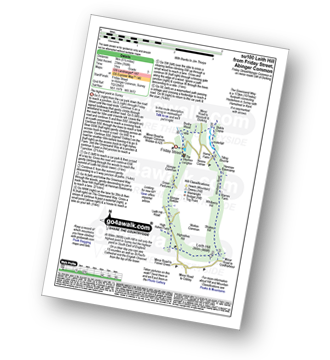
Walk su100 Leith Hill from Friday Street

The highest point in Surrey

Download GPS Waypoint Data for walk su100
Download GPX Waypoint Data for walk su100
Download Map and Route Details for walk su100

Vital Statistics:

Length:5.5 miles (9 km)
Ascent:768ft (234m)
Time:3 hrs
Grade:Grade 3 Walking Easy
Walk 12 Walking Bootprint Icon

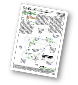
Walk su109 Pitch Hill and Holmbury Hill from Ewhurst

Two climbs to two excellent views

Download GPS Waypoint Data for walk su109
Download GPX Waypoint Data for walk su109
Download Map and Route Details for walk su109

Vital Statistics:

Length:5.5 miles (9 km)
Ascent:1,001ft (305m)
Time:3 hrs
Grade:Grade 4 Walking Moderate
Walk 13 Walking Bootprint Icon

Walk su121 Ockley Hill from Farthing Downs

Delightful downland walk

Download GPS Waypoint Data for walk su121
Download GPX Waypoint Data for walk su121
Download Map and Route Details for walk su121

Vital Statistics:

Length:6.5 miles (10.5 km)
Ascent:542ft (165m)
Time:3 hrs
Grade:Grade 3 Walking Easy
Walk 14 Walking Bootprint Icon

Walk su140 Newlands Corner and St Martha's Hill from Silent Pool

Lovely downland views

Download GPS Waypoint Data for walk su140
Download GPX Waypoint Data for walk su140
Download Map and Route Details for walk su140

Vital Statistics:

Length:5.5 miles (9 km)
Ascent:945ft (288m)
Time:3 hrs
Grade:Grade 4 Walking Moderate
Walk 15 Walking Bootprint Icon

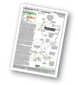
Walk su108 Roundhill Wood from Outwood

Easy field walking

Download GPS Waypoint Data for walk su108
Download GPX Waypoint Data for walk su108
Download Map and Route Details for walk su108

Vital Statistics:

Length:7.5 miles (12 km)
Ascent:417ft (127m)
Time:3.25hrs
Grade:Grade 3 Walking Easy
Walk 16 Walking Bootprint Icon

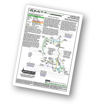
Walk su103 Box Hill from Westhumble

Surrey's most popular viewpoint

Download GPS Waypoint Data for walk su103
Download GPX Waypoint Data for walk su103
Download Map and Route Details for walk su103

Vital Statistics:

Length:7 miles (11 km)
Ascent:1,115ft (340m)
Time:3½ hrs
Grade:Grade 4 Walking Moderate
Walk 17 Walking Bootprint Icon

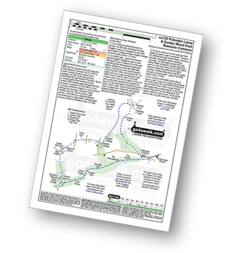
Walk su130 Polesden Lacey and Dunley Wood from Ranmore Common

Superb North Downs views

Download GPS Waypoint Data for walk su130
Download GPX Waypoint Data for walk su130
Download Map and Route Details for walk su130

Vital Statistics:

Length:7.25 miles (11.5 km)
Ascent:873ft (266m)
Time:3½ hrs
Grade:Grade 4 Walking Moderate
Walk 18 Walking Bootprint Icon

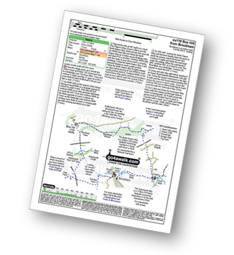
Walk su118 Box Hill from Brockham

Lovely country walk with fine views

Download GPS Waypoint Data for walk su118
Download GPX Waypoint Data for walk su118
Download Map and Route Details for walk su118

Vital Statistics:

Length:7 miles (11 km)
Ascent:962ft (293m)
Time:3½ hrs
Grade:Grade 4 Walking Moderate
Walk 19 Walking Bootprint Icon

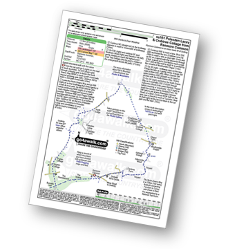
Walk su161 Polesden Lacey and Crabtree Cottage from Ranmore Common

Superb downland walk with fine views

Download GPS Waypoint Data for walk su161
Download GPX Waypoint Data for walk su161
Download Map and Route Details for walk su161

Vital Statistics:

Length:8.5 miles (13.5 km)
Ascent:866ft (264m)
Time:4 hrs
Grade:Grade 4 Walking Moderate
Walk 20 Walking Bootprint Icon

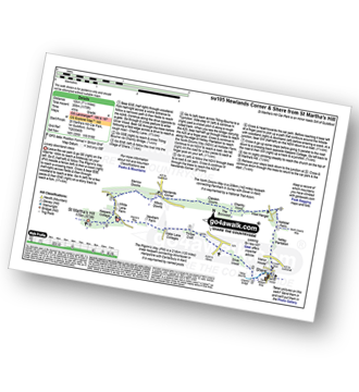
Walk su105 Newlands Corner and Shere from St Martha's Hill

Lovely downland views

Download GPS Waypoint Data for walk su105
Download GPX Waypoint Data for walk su105
Download Map and Route Details for walk su105

Vital Statistics:

Length:7.5 miles (12 km)
Ascent:1,175ft (358m)
Time:4 hrs
Grade:Grade 4 Walking Moderate
Walk 21 Walking Bootprint Icon

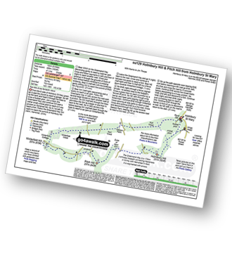
Walk su129 Holmbury Hill and Pitch Hill from Holmbury St Mary

Two hills and two fantastic views

Download GPS Waypoint Data for walk su129
Download GPX Waypoint Data for walk su129
Download Map and Route Details for walk su129

Vital Statistics:

Length:8.25 miles (13 km)
Ascent:1,634ft (498m)
Time:4½ hrs
Grade:Grade 5 Walking Moderate
Walk 22 Walking Bootprint Icon

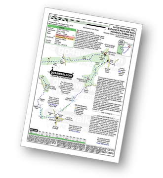
Walk su120 Holmbury Hill, Pitch Hill and Ewhurst from Holmbury St Mary

Two hills and a delightful village

Download GPS Waypoint Data for walk su120
Download GPX Waypoint Data for walk su120
Download Map and Route Details for walk su120

Vital Statistics:

Length:10.25 miles (16.5 km)
Ascent:1,933ft (589m)
Time:5.75hrs
Grade:Grade 6 Walking Moderate

See this list of walks, routes & maps in:

Grade Order | Length Order | Time Order | Walk Number or Start Location Order
NB. To reverse (toggle) this order, click Time Order (Shortest to Longest) again


Follow go4awalk.com on Twitter Follow go4awalk.com on Facebook


Home


Find new Friends to go walking with

Walk all 214 Wainwrights in just 59 Walks. Download GPS Waypoints - Great Walks you must not miss!

Walk The Yorkshire Three Peaks Challenge Walk - All the Latest Route Information, GPS Waypoints and Split Times to keep you on Schedule

Walk The British Three Peaks Challenge Walk - All the Latest Route Information and GPS Waypoints

See our pick of The Best Walks in The Lake District - Great Walks you must not miss!

Walk our pick of the Best Lake District Ridge Walks - Great Walks you must not miss!

Walk our pick of the Best Lake District Walks to do in the rain - Great Walks you must not miss!

Walk our pick of The Best Walks in Snowdonia - Great Walks you must not miss!

Walk our pick of The Best Ridge Walks in Wales - Walks you must not miss!

Walk our pick of The Best Walks in The Brecon Beacons - Great Walks you must not miss!

Walk our pick of The Best Walks in The Yorkshire Dales - Walks you must not miss!

Walk our pick of The Best Walks in The Peak District - Walks you must not miss!

Walk our pick of The Best Walks in The Forest of Bowland - Walks you must not miss!

Walk our pick of The Best Walks in Shropshire - Walks you must not miss!

Walk our pick of The Best Walks in Cheshire - Walks you must not miss!

Walk our pick of The Best Walks in Lancashire - Walks you must not miss!

Not sure where to walk next? Try Peak Bagging - Great Walks you must not miss!

Not sure where to walk next? Walk part of a National Trail - Great Walks you must not miss!

Walks with Downloadable and Uploadable GPS Waypoint Data

Walking Kit and Gear Tested by Walkers

Full Site Search
Do not miss our pick of the Best Walks in Britain