16 easy to follow walk route maps of all grades in The Clwydian Hills area of North Wales
The Clwydian Hills area of North Wales is the area enclosed by:
- the Irish Sea from the Snowdonia National Park boundary at Conwy to the River Dee to the North;
- the border between Wales and England from the River Dee to Chirk/Y Waun the the East;
- the A5 from Chirk/Y Waun to Druid and then the A494 to Bala to the South;
- and the Snowdonia National Park boundary from Bala to Conwy to the West.
The area includes The Clwydian Range of hills.
Tap/mouse over a coloured circle (1-3 easy walks, 4-6 moderate walks, 7-9 hard walks) and click to select.
You can use these checkboxes to show only the grades of walk you are interested in:-
Sixteen easy-to-follow walk route maps of all grades in The Clwydian Hills area of North Wales in Walk Grade Order
Scroll down the list of walks below & click on each walk title (in blue) to locate it on the map above.
See this list of walks, routes & maps in:
Grade Order | Length Order | Time Order | Walk Number or Start Location Order
NB. To reverse (toggle) this order, click Grade Order again

   |
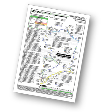
Vital Statistics:
| Length: | 9.5 miles (15 km) |
| Ascent: | 1,359ft (141m) |
| Time: | 4.75hrs |
| Grade: |  |
Route Summary:
Rhuallt - The Offa's Dyke Path - Brynllithrig Hall - Pen-y-mynydd - Coed Rhedyn-coch - Mynydd y Cwm (Coed Cwm) - Marian Cwm - Marian Ffrith - Bryn Cnewyllyn - Marian Mill Trout Farm - Henfryn Hall - The Clwydian Way - Swyn y Mynydd - Hendre Fawr - Glan Llyn - Bryn Gronw - Rhuallt


|
Vital Statistics:
| Length: | 7.5 miles (12 km) |
| Ascent: | 962ft (293m) |
| Time: | 3.75hrs |
| Grade: |  |

Route Summary:
Rhuallt - The Offa's Dyke Path - A55 - Bryn Gronw - Cobweb Cottage - Ty Hir - Rhos Onnen - Croes-wian - Ffrith Farm - Bryngwyn Hall - Coed Bron-fawr - The Offa's Dyke Path - Bryn Gronw - A55 - Rhuallt

|
Vital Statistics:
| Length: | 11 miles (17.5 km) |
| Ascent: | 2,389ft (728m) |
| Time: | 6½ hrs |
| Grade: |  |

Route Summary:
Moel Famau Country Park - Moel Famau - The Offa's Dyke Path - Moel Dywyll - Moel Llys-y-coed - Bwlch Arthur - Gronfoel Farm - Cilcain - Y Pentre - Crug Farm - Ffrith - Bryn Fynnon - Moel Famau Country Park

|
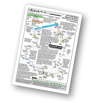
Vital Statistics:
| Length: | 10.75 miles (17 km) |
| Ascent: | 916ft (279m) |
| Time: | 4.75hrs |
| Grade: | |
Route Summary:
Prestatyn - Ffrith Beach - Plas Newydd Farm - Rhydorddwy Goch Farm - Aberkinsey Farm - Dyserth - Dyserth Waterfall - The Offa's Dyke Path - Ty Newydd - Bryniau - Red Roofs - Crag y Fran - Prestatyn

|
Vital Statistics:
| Length: | 4 miles (6.5 km) |
| Ascent: | 715ft (218m) |
| Time: | 2.25hrs |
| Grade: |  |

Route Summary:
Rhuallt - The Offa's Dyke Path - Brynllithrig Hall - Pen-y-mynydd - Coed Jenny Morgan - Glan Llyn - Bryn Gronw - Rhuallt

|
Vital Statistics:
| Length: | 12.25 miles (19.5 km) |
| Ascent: | 1,874ft (571m) |
| Time: | 6.25hrs |
| Grade: | |

Route Summary:
Bodfari - The Offa's Dyke Path - Moel-y-Gaer - Pen y Bryn - Sodom Covert - Cefn Du - Pant Glas - Moel Maenefa - Bryn Gronw - Cobweb Cottage - Brick Kiln Rough - Ty Hir - Rhos Onnen - Croes-wian - Caerwys - Maes-mynan Hall - Candy Mill - Ty-draw - The Offa's Dyke Path - Bodfari

|
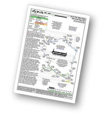
Vital Statistics:
| Length: | 7 miles (11 km) |
| Ascent: | 847ft (258m) |
| Time: | 3½ hrs |
| Grade: | |
Route Summary:
Glan Llyn - Coed Jenny Morgan - The Offa's Dyke Path - Coed Rhedyn-coch - Mynydd y Cwm (Coed Cwm) - Marian Cwm - Marian Ffrith - Bryn Cnewyllyn - Marian Mill Trout Farm - Henfryn Hall - The Clwydian Way - Swyn y Mynydd - Hendre Fawr - Glan Llyn

|
Vital Statistics:
| Length: | 9.75 miles (15.5 km) |
| Ascent: | 1,447ft (441m) |
| Time: | 5 hrs |
| Grade: | |

Route Summary:
Bodfari - The Offa's Dyke Path - Moel-y-Gaer - Pen y Bryn - Sodom Covert - Cefn Du - Pant Glas - Coed Bron-fawr - Bryngwyn Hall - Ffrith Farm - Croes-wian - Caerwys - Maes-mynan Hall - Candy Mill - Ty-draw - The Offa's Dyke Path - Bodfari

|
Vital Statistics:
| Length: | 12 miles (19 km) |
| Ascent: | 2,409ft (734m) |
| Time: | 6.75hrs |
| Grade: |  |
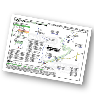
Route Summary:
Bwlch Penbarras - The Offa's Dyke Path - Moel Famau - Moel Dywyll - Moel Llys-y-coed - Bwlch Arthur - Gronfoel Farm - Cilcain - Y Pentre - Crug Farm - Ffrith - Bryn Fynnon - Moel Famua Country Park - Bwlch Penbarras

|
Vital Statistics:
| Length: | 3.75 miles (6 km) |
| Ascent: | 961ft (293m) |
| Time: | 2½ hrs |
| Grade: | |


|
Vital Statistics:
| Length: | 9.75 miles (15.5 km) |
| Ascent: | 1,303ft (397m) |
| Time: | 4.75hrs |
| Grade: | |
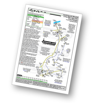
Route Summary:
Prestatyn - The North Wales Path - Dyserth - Dyserth Waterfall - The Offa's Dyke Path - Ty Newydd - Bryniau - Red Roofs - Crag y Fran - Prestatyn

|
Vital Statistics:
| Length: | 5.5 miles (9 km) |
| Ascent: | 1,362ft (415m) |
| Time: | 3½ hrs |
| Grade: | |


|
Vital Statistics:
| Length: | 7.5 miles (12 km) |
| Ascent: | 1,746ft (532m) |
| Time: | 4½ hrs |
| Grade: | |
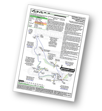
Route Summary:
Bwlch Arthur - Moel Arthur - Coed Llangwyfan - Penycloddiau - Nant Coed-y-mynydd - Pen-y-bryn - Bwlch Arthur

|
Vital Statistics:
| Length: | 4 miles (6.5 km) |
| Ascent: | 1,086ft (331m) |
| Time: | 2½ hrs |
| Grade: | |


|
Vital Statistics:
| Length: | 5 miles (8 km) |
| Ascent: | 994ft (303m) |
| Time: | 3 hrs |
| Grade: | |
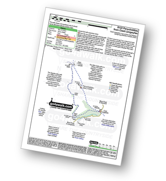

|
Vital Statistics:
| Length: | 8.25 miles (13 km) |
| Ascent: | 1,943ft (592m) |
| Time: | 5 hrs |
| Grade: | |

Route Summary:
Cilcain - Y Pentre - Crug Farm - Ffrith - Bryn Fynnon - Moel Famau Country Park - Moel Famau - The Offa's Dyke Path - Moel Dywyll - Moel Llys-y-coed - Bwlch Arthur - Gronfoel Farm - Cilcain
See this list of walks, routes & maps in:
Grade Order | Length Order | Time Order | Walk Number or Start Location Order
NB. To reverse (toggle) this order, click Grade Order again