   |
Vital Statistics:
| Length: | 4¾mls (7.5km) |
| Ascent: | 466ft (142m) |
| Time: | 2¼hrs |
| Grade: |  |
Route outline for walk su125:
Bletchingley - The Greensand Way - Steners Hill - South Nutfield - Crabtree House - Henhaw Farm - Castlehill Farm - Bletchingley
National Trails & Long Paths included on this walk:
Part of this walk follows a section of The Greensand Way, a 173km (107 miles) linear footpath connecting Haslemere in Surrey, England with Hamstreet in Kent, England. The Greensand Way is waymarked by the letters 'GW' in Surrey and an Oast House motif in Kent. For more walks that include a section of this trail see The Greensand Way.
You can find this walk and other nearby walks on these unique free-to-access Interactive Walk Planning Maps:
1:25,000 scale OS Explorer Map (orange/yellow covers):
1:50,000 scale OS Landranger Map (pink/magenta covers):
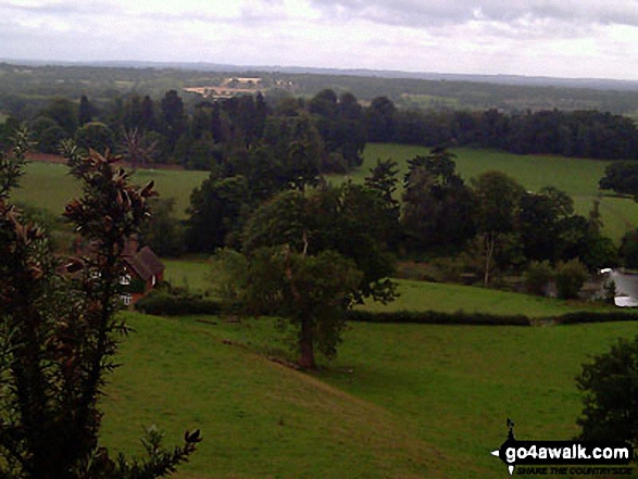
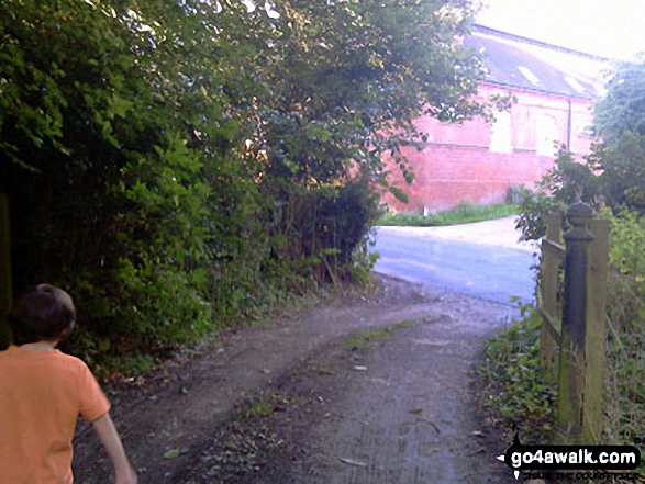
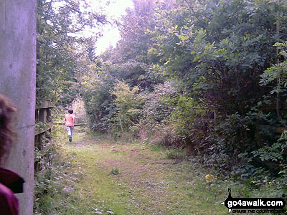
Some Photos and Pictures from Walk su125 South Nutfield from Bletchingley
In no particular order . . .


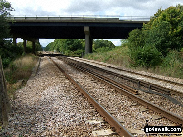
Redhill to Tonbridge Main Railway Line where it passes under the M23, South Nutfield


Send us your photographs and pictures from your walks and hikes
We would love to see your photographs and pictures from walk su125 South Nutfield from Bletchingley. Send them in to us as email attachments (configured for any computer) along with your name and where the picture was taken to:
and we shall do our best to publish them.
(Guide Resolution = 300dpi. At least = 660 pixels (wide) x 440 pixels (high).)

You can also submit photos from walk su125 South Nutfield from Bletchingley via our Facebook Page.
NB. Please indicate where each photo was taken.


