Fourteen easy to follow pub walks from The Bridge Hotel, Buttermere, The Lake District, Cumbria, England
To reach The Bridge Hotel, Buttermere, in-car SatNav users should select the Latitude/Longitude (Lat Lon) screen and enter:
Lat = N54.54130 and Lon = W 3.277
Not familiar with this pub?
Fourteen easy to follow pub walks from The Bridge Hotel, Buttermere, The Lake District, Cumbria, England
Scroll down the list of walks below & click on each walk title (in blue) to locate it on the map above.

   |
Vital Statistics:
| Length: | 4.75 miles (7.5 km) |
| Ascent: | 485ft (148m) |
| Time: | 2 hrs |
| Grade: |  |
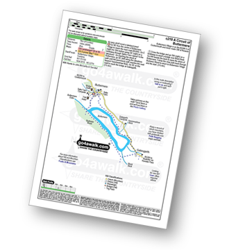
Route Summary:
Buttermere - Dalegarth - Hassnesshow Beck - Gatesgarth - Black Beck - Peggy's Bridge - Burtness Wood - Buttermere


|
Vital Statistics:
| Length: | 7.5 miles (12 km) |
| Ascent: | 262ft (80m) |
| Time: | 3 hrs |
| Grade: | |

Route Summary:
Buttermere - Great Wood - Wood House - Crummock Water - Hause Point - Rannerdale Bridge - Cinderdale Common - Lanthwaite Green - High Wood - Lanthwaite Wood - River Cocker - Park Beck - Iron Stone - Low Ling Crag - Scale Bridge - Buttermere

|
Vital Statistics:
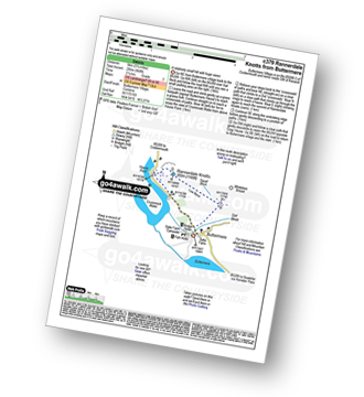
| Length: | 3.25 miles (5 km) |
| Ascent: | 968ft (295m) |
| Time: | 2.25hrs |
| Grade: |  |

|
Vital Statistics:
| Length: | 3.25 miles (6 km) |
| Ascent: | 1,920ft (585m) |
| Time: | 3½ hrs |
| Grade: |  |

Route Summary:
Buttermere - Gatesgarth - Peggy's Bridge - Buttermere - Scarth Gap - Hay Stacks - Innominate Tarn - Hay Stacks (Haystacks) - Scarth Gap - Peggy's Bridge - Gatesgarth - Buttermere

|
Vital Statistics:
| Length: | 5.80 miles (8.5 km) |
| Ascent: | 2,455ft (748m) |
| Time: | 4½ hrs |
| Grade: |  |

Route Summary:
Buttermere - Gatesgarth - Peggy's Bridge - Buttermere - Scarth Gap - Hay Stacks (Haystacks) - Innominate Tarn - Blackbeck Tarn - Black Beck - Green Crag (Buttermere) - Warnscale Beck - Dubs Hut - Dubs Quarry - Fleetwith Pike - Honister Crag (Black Star) - Fleetwith Pike - Fleetwith Edge - Gatesgarth - Buttermere

|
Vital Statistics:
| Length: | 4.75 miles (7.5 km) |
| Ascent: | 2,363ft (720m) |
| Time: | 4.25hrs |
| Grade: | |

Route Summary:
Buttermere - Dalegarth - Hassnesshow Beck - Goat Crag - Goat Gills - Robinson - Buttermere Moss - High Snockrigg - Buttermere

|
Vital Statistics:
| Length: | 7.5 miles (12 km) |
| Ascent: | 3,338ft (1,017m) |
| Time: | 6.25hrs |
| Grade: |  |

Route Summary:
Buttermere - Sourmilk Gill - Bleaberry Tarn - Dodd (Buttermere) - The Saddle - Red Pike (Buttermere) - High Stile - High Crag (Buttermere) - Gamlin End - Seat (Buttermere) - Scarth Gap - Peggy's Bridge - Burtness Wood - Buttermere

|
Vital Statistics:
| Length: | 8.25 miles (13 km) |
| Ascent: | 2,334ft (711m) |
| Time: | 5½ hrs |
| Grade: | |

Route Summary:
Buttermere - Gatesgarth - Warnscale Bottom - Warnscale Beck - Green Crag (Buttermere) - Black Beck - Blackbeck Tarn - Innominate Tarn - Hay Stacks (Haystacks) - Scarth Gap - Burtness Wood - Buttermere

|
Vital Statistics:
| Length: | 9.75 miles (15.5 km) |
| Ascent: | 2,734ft (833m) |
| Time: | 6.25hrs |
| Grade: | |

Route Summary:
Buttermere - Buttermere Dubbs - Scale Bridge - Scale Force - Scale Beck - Blea Crag - Lingcomb Edge - Ling Comb - Little Dodd (Ennerdale) - Starling Dodd - Great Borne - Floutern Tarn - Black Beck (Mosedale) - Scale Force - Scale Beck (Crummock Water) - Crummock Water - Buttermere

|
Vital Statistics:
| Length: | 8.75 miles (14 km) |
| Ascent: | 3,390ft (1,033m) |
| Time: | 6.25hrs |
| Grade: |  |

Route Summary:
Buttermere - Scale Force - Scale Beck - Blea Crag - Lingcomb Edge - Red Pike (Buttermere) - High Stile - High Crag (Buttermere) - Gamlin End - Seat (Buttermere) - Scarth Gap - Burtness Wood - Sourmilk Gill - Buttermere

|
Vital Statistics:
| Length: | 9.75 miles (15.5 km) |
| Ascent: | 3,157ft (962m) |
| Time: | 6½ hrs |
| Grade: | |

Route Summary:
Buttermere - Sourmilk Gill - Bleaberry Tarn - Dodd (Buttermere) - The Saddle - Red Pike (Buttermere) - Ling Comb - Little Dodd (Ennerdale) - Starling Dodd - Great Borne - Floutern Tarn - Black Beck (Mosedale) - Blea Crag - Scale Force - Scale Beck (Crummock Water) - Crummock Water - Buttermere Dubs - Buttermere

|
Vital Statistics:
| Length: | 10.25 miles (16.5 km) |
| Ascent: | 4,611ft (1,405m) |
| Time: | 8½ hrs |
| Grade: |  |

Route Summary:
Buttermere - Gatesgarth - Peggy's Bridge - Scarth Gap Pass - Scarth Gap - Black Sail Hut (Youth Hostel) - Black Sail Pass - Looking Stead (Pillar) - High Level Route - Robinson's Cairn - Pillar - Wind Gap - Black Crag (Pillar) - High Beck - Ennerdale - Scarth Gap Pass - Peggy's Bridge - Gatescarth - Buttermere

|
Vital Statistics:
| Length: | 11.25 miles (18 km) |
| Ascent: | 4,132ft (1,259m) |
| Time: | 8.25hrs |
| Grade: | |

Route Summary:
Buttermere - Scale Force - Scale Beck - Blea Crag - Lingcomb Edge - Red Pike (Buttermere) - High Stile - High Crag (Buttermere) - Gamlin End - Seat (Buttermere) - Scarth Gap - Hay Stacks (Haystacks) - Innominate Tarn - Blackbeck Tarn - Black Beck - Green Crag (Buttermere) - Warnscale Beck - Warnscale Bottom - Gatesgarth - Buttermere

|
Vital Statistics:
| Length: | 16 miles (25.5 km) |
| Ascent: | 6,285ft (1,915m) |
| Time: | 12.25hrs |
| Grade: |  |
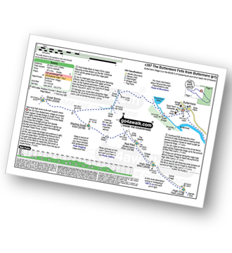
Route Summary:
Buttermere - Scale Force - Scale Beck - Blea Crag - Great Borne - Starling Dodd - Little Dodd (Ennerdale) - Ling Comb - Lingcomb Edge - Red Pike (Buttermere) - Dodd (Buttermere) - Red Pike (Buttermere) - High Stile - High Crag (Buttermere) - Gamlin End - Seat (Buttermere) - Scarth Gap - Hay Stacks (Haystacks) - Innominate Tarn - Blackbeck Tarn - Black Beck - Green Crag (Buttermere) - Warnscale Beck - Dubs Hut - Dubs Quarry - Fleetwith Pike - Honister Crag (Black Star) - Fleetwith Pike - Fleetwith Edge - Gatesgarth - Buttermere





