   |
Vital Statistics:
| Length: | 7½mls (12km) |
| Ascent: | 262ft (80m) |
| Time: | 3hrs |
| Grade: |  |

Route outline for walk c221:
Buttermere - Great Wood - Wood House - Crummock Water - Hause Point - Rannerdale Bridge - Cinderdale Common - Lanthwaite Green - High Wood - Lanthwaite Wood - River Cocker - Park Beck - Iron Stone - Low Ling Crag - Scale Bridge - Buttermere
You can find this walk and other nearby walks on these unique free-to-access Interactive Walk Planning Maps:
1:25,000 scale OS Explorer Map (orange/yellow covers):
1:50,000 scale OS Landranger Map (pink/magenta covers):
Some Photos and Pictures from Walk c221 A Circuit of Crummock Water from Buttermere
In no particular order . . .

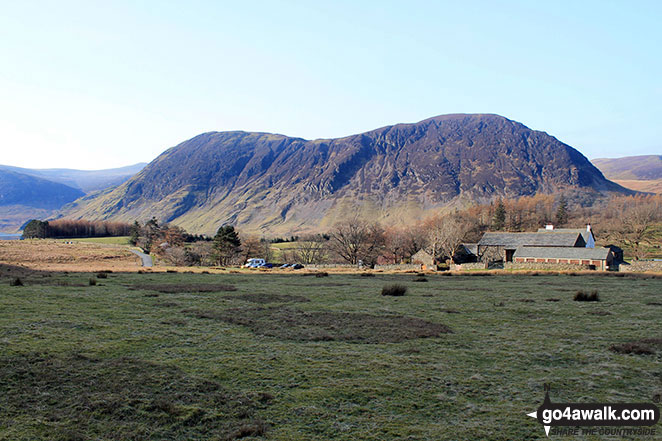
Early morning sun on Whiteside (Crummock) (left) and Whin Ben (right) from Lanthwaite Green


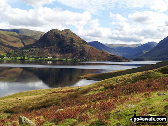
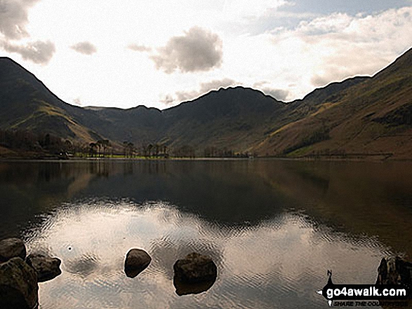
The shoulder of Grasmoor (left), Robinson, Rannerdale Knotts (centre) and the High Stile Ridge (High Crag, High Stile and Red Pike (Buttermere) reflected beautifully in a very still Crummock Water taken from the north west shore below Mellbreak

Fleetwith Pike and Hay Stacks (Haystacks) from the campsite near Buttermere village


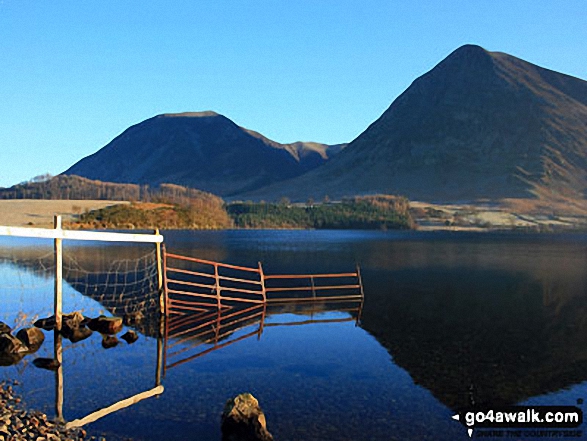
High Stile, Red Pike (Buttermere) and Dodd (Buttermere) from across Buttermere
. . . load all 81 walk photos from Walk c221 A Circuit of Crummock Water from Buttermere
Send us your photographs and pictures from your walks and hikes
We would love to see your photographs and pictures from walk c221 A Circuit of Crummock Water from Buttermere. Send them in to us as email attachments (configured for any computer) along with your name and where the picture was taken to:
and we shall do our best to publish them.
(Guide Resolution = 300dpi. At least = 660 pixels (wide) x 440 pixels (high).)

You can also submit photos from walk c221 A Circuit of Crummock Water from Buttermere via our Facebook Page.
NB. Please indicate where each photo was taken.


