14 easy-to-follow circular walks in Greater Manchester

Fourteen easy-to-follow hand-crafted circular walks, routes & maps in Greater Manchester of all grades in Walk Time Order (Shortest to Longest)


See this list of walks, routes & maps in:

Grade Order | Length Order | Time Order | Walk Number or Start Location Order
NB. To reverse (toggle) this order, click Time Order (Shortest to Longest) again


Walk 1 Walking Bootprint Icon

Walk gm101 The Bridgewater Canal from Dunham Town

Pleasant canal side stroll

Download GPS Waypoint Data for walk gm101
Download GPX Waypoint Data for walk gm101
Download Map and Route Details for walk gm101

Vital Statistics:

Length:5.75 miles (9 km)
Ascent:190ft (58m)
Time:2.25hrs
Grade:Grade 2 Walking Easy
Walk 2 Walking Bootprint Icon

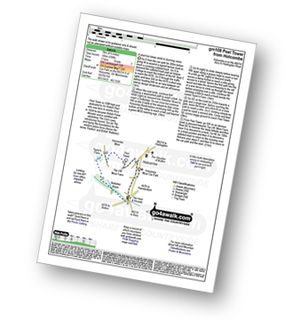
Walk gm108 Peel Monument from Holcombe

A short but steep ascent to stunning views

Download GPS Waypoint Data for walk gm108
Download GPX Waypoint Data for walk gm108
Download Map and Route Details for walk gm108

Vital Statistics:

Length:4 miles (6.5 km)
Ascent:590ft (180m)
Time:2.25hrs
Grade:Grade 2 Walking Easy
Walk 3 Walking Bootprint Icon

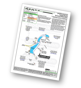
Walk gm107 A circuit of Yoeman Hey Reservoir and Dove Stone Reservoir, Greenfield

Easy walking on good paths

Download GPS Waypoint Data for walk gm107
Download GPX Waypoint Data for walk gm107
Download Map and Route Details for walk gm107

Vital Statistics:

Length:4.5 miles (7 km)
Ascent:729ft (222m)
Time:2½ hrs
Grade:Grade 3 Walking Easy
Walk 4 Walking Bootprint Icon

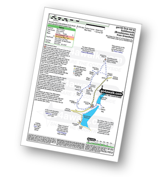
Walk gm142 Dick Hill and Saddleworth Moor (Broadstones Hill) from Greenfield

Wild moorland views

Download GPS Waypoint Data for walk gm142
Download GPX Waypoint Data for walk gm142
Download Map and Route Details for walk gm142

Vital Statistics:

Length:5 miles (8 km)
Ascent:607ft (246m)
Time:2½ hrs
Grade:Grade 3 Walking Easy
Walk 5 Walking Bootprint Icon

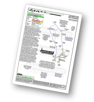
Walk gm198 Bull Hill from Holcombe

Gentle ascents to good views - can be wet

Download GPS Waypoint Data for walk gm198
Download GPX Waypoint Data for walk gm198
Download Map and Route Details for walk gm198

Vital Statistics:

Length:5.25 miles (8.5 km)
Ascent:686ft (210m)
Time:2.75hrs
Grade:Grade 3 Walking Easy
Walk 6 Walking Bootprint Icon

Walk gm102 Blackstone Edge from Hollingworth Lake

Fine views - though can be windy(!)

Download GPS Waypoint Data for walk gm102
Download GPX Waypoint Data for walk gm102
Download Map and Route Details for walk gm102

Vital Statistics:

Length:6.25 miles (10 km)
Ascent:1,017ft (310m)
Time:3½ hrs
Grade:Grade 4 Walking Moderate
Walk 7 Walking Bootprint Icon

Walk gm136 White Holme Reservoir Circuit from Blackstone Edge Reservoir

High flat moorland walk - can be windy(!)

Download GPS Waypoint Data for walk gm136
Download GPX Waypoint Data for walk gm136
Download Map and Route Details for walk gm136

Vital Statistics:

Length:9 miles (14.5 km)
Ascent:131ft (40m)
Time:3½ hrs
Grade:Grade 2 Walking Easy
Walk 8 Walking Bootprint Icon

Walk gm114 Great Dove Stones Rocks from Dove Stone Reservoir, Greenfield

A steep ascent to superb views

Download GPS Waypoint Data for walk gm114
Download GPX Waypoint Data for walk gm114
Download Map and Route Details for walk gm114

Vital Statistics:

Length:6.25 miles (10 km)
Ascent:1,441ft (439m)
Time:3.75hrs
Grade:Grade 4 Walking Moderate
Walk 9 Walking Bootprint Icon

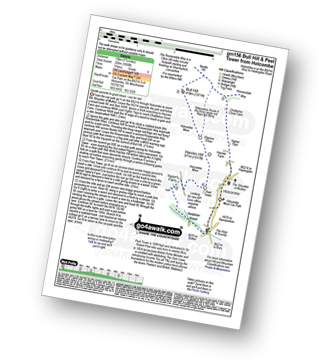
Walk gm156 Bull Hill and Peel Monument from Holcombe

Gentle ascents to good views - can be wet

Download GPS Waypoint Data for walk gm156
Download GPX Waypoint Data for walk gm156
Download Map and Route Details for walk gm156

Vital Statistics:

Length:6.75 miles (11 km)
Ascent:1,050ft (320m)
Time:3.75hrs
Grade:Grade 4 Walking Moderate
Walk 10 Walking Bootprint Icon

Walk gm134 Stable Stones Brow (Hoarstone Edge) and Alphin Pike from Dove Stone Reservoir, Greenfield

Superb ridge walk

Download GPS Waypoint Data for walk gm134
Download GPX Waypoint Data for walk gm134
Download Map and Route Details for walk gm134

Vital Statistics:

Length:7 miles (11 km)
Ascent:1,615ft (492m)
Time:4.25hrs
Grade:Grade 5 Walking Moderate
Walk 11 Walking Bootprint Icon

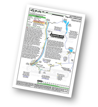
Walk gm115 Blackstone Edge from Littleborough

Fine views followed by a canal side stroll

Download GPS Waypoint Data for walk gm115
Download GPX Waypoint Data for walk gm115
Download Map and Route Details for walk gm115

Vital Statistics:

Length:10 miles (16 km)
Ascent:1,115ft (340m)
Time:4½ hrs
Grade:Grade 5 Walking Moderate
Walk 12 Walking Bootprint Icon

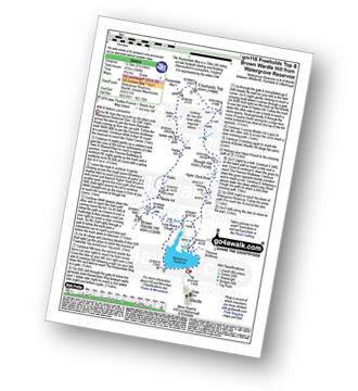
Walk gm116 Round Hill, Freeholds Top and Brown Wardle Hill from Watergrove Reservior

Wild and historic Lancashire

Download GPS Waypoint Data for walk gm116
Download GPX Waypoint Data for walk gm116
Download Map and Route Details for walk gm116

Vital Statistics:

Length:8.5 miles (13.5 km)
Ascent:1,549ft (472m)
Time:4.75hrs
Grade:Grade 5 Walking Moderate
Walk 13 Walking Bootprint Icon

Walk gm126 Ashway Rocks and Great Dove Stones Rocks from Dove Stone Reservoir, Greenfield

A steep ascent to superb views

Download GPS Waypoint Data for walk gm126
Download GPX Waypoint Data for walk gm126
Download Map and Route Details for walk gm126

Vital Statistics:

Length:8.5 miles (13.5 km)
Ascent:1,848ft (563m)
Time:5 hrs
Grade:Grade 6 Walking Moderate
Walk 14 Walking Bootprint Icon

Walk gm150 Great Dove Stone Rocks Stable Stones Brow (Hoarstone Edge) from Dove Stone Reservoir, Greenfield

Superb ridge walk with extensive views

Download GPS Waypoint Data for walk gm150
Download GPX Waypoint Data for walk gm150
Download Map and Route Details for walk gm150

Vital Statistics:

Length:11.5 miles (18.5 km)
Ascent:2,501ft (762m)
Time:6.75hrs
Grade:Grade 7 Walking Hard

See this list of walks, routes & maps in:

Grade Order | Length Order | Time Order | Walk Number or Start Location Order
NB. To reverse (toggle) this order, click Time Order (Shortest to Longest) again


Follow go4awalk.com on Twitter Follow go4awalk.com on Facebook


Home


Find new Friends to go walking with

Walk all 214 Wainwrights in just 59 Walks. Download GPS Waypoints - Great Walks you must not miss!

Walk The Yorkshire Three Peaks Challenge Walk - All the Latest Route Information, GPS Waypoints and Split Times to keep you on Schedule

Walk The British Three Peaks Challenge Walk - All the Latest Route Information and GPS Waypoints

See our pick of The Best Walks in The Lake District - Great Walks you must not miss!

Walk our pick of the Best Lake District Ridge Walks - Great Walks you must not miss!

Walk our pick of the Best Lake District Walks to do in the rain - Great Walks you must not miss!

Walk our pick of The Best Walks in Snowdonia - Great Walks you must not miss!

Walk our pick of The Best Ridge Walks in Wales - Walks you must not miss!

Walk our pick of The Best Walks in The Brecon Beacons - Great Walks you must not miss!

Walk our pick of The Best Walks in The Yorkshire Dales - Walks you must not miss!

Walk our pick of The Best Walks in The Peak District - Walks you must not miss!

Walk our pick of The Best Walks in The Forest of Bowland - Walks you must not miss!

Walk our pick of The Best Walks in Shropshire - Walks you must not miss!

Walk our pick of The Best Walks in Cheshire - Walks you must not miss!

Walk our pick of The Best Walks in Lancashire - Walks you must not miss!

Not sure where to walk next? Try Peak Bagging - Great Walks you must not miss!

Not sure where to walk next? Walk part of a National Trail - Great Walks you must not miss!

Walks with Downloadable and Uploadable GPS Waypoint Data

Walking Kit and Gear Tested by Walkers

Full Site Search
Do not miss our pick of the Best Walks in the UK