25 easy-to-follow circular walks in Conwy

Twenty-five easy-to-follow hand-crafted circular walks, routes & maps in Conwy of all grades in Walk Length Order (Shortest to Longest)


See this list of walks, routes & maps in:

Grade Order | Length Order | Time Order | Walk Number or Start Location Order
NB. To reverse (toggle) this order, click Length Order again


Walk 1 Walking Bootprint Icon

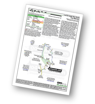
Walk cw133 Cadair Ifan Goch from Maenan

Superb views over the Conwy Valley

Download GPS Waypoint Data for walk cw133
Download GPX Waypoint Data for walk cw133
Download Map and Route Details for walk cw133

Vital Statistics:

Length:3 miles (5 km)
Ascent:542ft (165m)
Time:2 hrs
Grade:Grade 2 Walking Easy
Walk 2 Walking Bootprint Icon

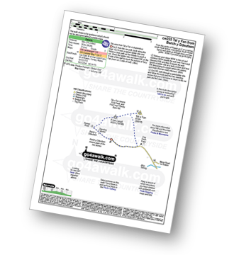
Walk cw225 Tal y Fan and Foel Lwyd from Bwlch y Ddeufaen Car Park

The view from Tal y Fan is stupendous

Download GPS Waypoint Data for walk cw225
Download GPX Waypoint Data for walk cw225
Download Map and Route Details for walk cw225

Vital Statistics:

Length:4 miles (6.5 km)
Ascent:1,023ft (312m)
Time:2½ hrs
Grade:Grade 3 Walking Easy
Walk 3 Walking Bootprint Icon

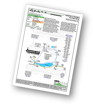
Walk cw202 Pen yr Ole Wen via the South Western Ridge from Ogwen Cottage, Llyn Ogwen

Very steep climb - not for the inexperienced

Download GPS Waypoint Data for walk cw202
Download GPX Waypoint Data for walk cw202
Download Map and Route Details for walk cw202

Vital Statistics:

Length:4.5 miles (7 km)
Ascent:2,329ft (710m)
Time:4 hrs
Grade:Grade 5 Walking Moderate
Walk 4 Walking Bootprint Icon

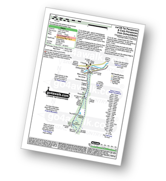
Walk cw128 Tai Penamnen and Cwm Penamnen from Dolwyddelan

A quiet valley stroll on good paths

Download GPS Waypoint Data for walk cw128
Download GPX Waypoint Data for walk cw128
Download Map and Route Details for walk cw128

Vital Statistics:

Length:4.75 miles (7.5 km)
Ascent:624ft (190m)
Time:2½ hrs
Grade:Grade 3 Walking Easy
Walk 5 Walking Bootprint Icon

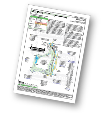
Walk cw105 Llyn Elsi from Betws-y-Coed

Delightful forest walk - steep ascent early on

Download GPS Waypoint Data for walk cw105
Download GPX Waypoint Data for walk cw105
Download Map and Route Details for walk cw105

Vital Statistics:

Length:5.5 miles (9 km)
Ascent:1,250ft (381m)
Time:3½ hrs
Grade:Grade 4 Walking Moderate
Walk 6 Walking Bootprint Icon

Walk cw214 Carnedd Moel Siabod from Pont Cyfyng, Capel Curig

Testing scramble

Download GPS Waypoint Data for walk cw214
Download GPX Waypoint Data for walk cw214
Download Map and Route Details for walk cw214

Vital Statistics:

Length:5.5 miles (9 km)
Ascent:2,616ft (797m)
Time:4½ hrs
Grade:Grade 6 Walking Moderate
Walk 7 Walking Bootprint Icon

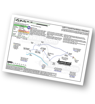
Walk cw201 Foel-ganol and Yr Orsedd from Bwlch y Ddeufaen

Magnificent views

Download GPS Waypoint Data for walk cw201
Download GPX Waypoint Data for walk cw201
Download Map and Route Details for walk cw201

Vital Statistics:

Length:6 miles (9.5 km)
Ascent:1,346ft (410m)
Time:3½ hrs
Grade:Grade 4 Walking Moderate
Walk 8 Walking Bootprint Icon

Walk cw178 Carnedd Moel Siabod from Pont Cyfyng, Capel Curig

Superb Views

Download GPS Waypoint Data for walk cw178
Download GPX Waypoint Data for walk cw178
Download Map and Route Details for walk cw178

Vital Statistics:

Length:6.5 miles (10.5 km)
Ascent:2,599ft (792m)
Time:5 hrs
Grade:Grade 6 Walking Moderate
Walk 9 Walking Bootprint Icon

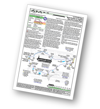
Walk cw115 Allt-fawr, Moel Druman and Ysgafell Wen from Crimea Pass (Bwlch y Gorddinan)

Superb views in glorious solitude

Download GPS Waypoint Data for walk cw115
Download GPX Waypoint Data for walk cw115
Download Map and Route Details for walk cw115

Vital Statistics:

Length:6.5 miles (10.5 km)
Ascent:2,422ft (738m)
Time:5 hrs
Grade:Grade 6 Walking Moderate
Walk 10 Walking Bootprint Icon

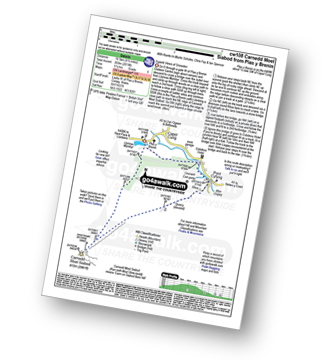
Walk cw108 Carnedd Moel Siabod from Plas y Brenin, Capel Curig

Superb Views

Download GPS Waypoint Data for walk cw108
Download GPX Waypoint Data for walk cw108
Download Map and Route Details for walk cw108

Vital Statistics:

Length:6.75 miles (11 km)
Ascent:2,819ft (859m)
Time:5½ hrs
Grade:Grade 6 Walking Moderate
Walk 11 Walking Bootprint Icon

Walk cw159 Drosgol (Moelwyns) and Ty Mawr Wybrnant from Dolwyddelan

Ancient pathways - but can be boggy!

Download GPS Waypoint Data for walk cw159
Download GPX Waypoint Data for walk cw159
Download Map and Route Details for walk cw159

Vital Statistics:

Length:7.25 miles (11.5 km)
Ascent:1,726ft (526m)
Time:4½ hrs
Grade:Grade 5 Walking Moderate
Walk 12 Walking Bootprint Icon

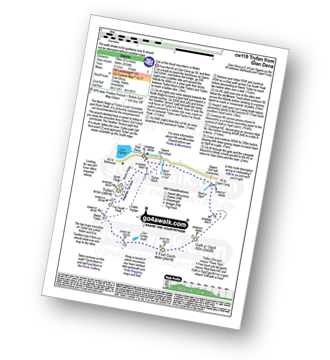
Walk cw119 Tryfan from Glan Dena, Llyn Ogwen

One of the finest mountains in Wales

Download GPS Waypoint Data for walk cw119
Download GPX Waypoint Data for walk cw119
Download Map and Route Details for walk cw119

Vital Statistics:

Length:7.5 miles (12 km)
Ascent:2,814ft (858m)
Time:5½ hrs
Grade:Grade 6 Walking Moderate
Walk 13 Walking Bootprint Icon

Walk cw191 Creigiau Gleision from Llyn Crafnant

Lovely views with little company

Download GPS Waypoint Data for walk cw191
Download GPX Waypoint Data for walk cw191
Download Map and Route Details for walk cw191

Vital Statistics:

Length:7.75 miles (12.5 km)
Ascent:2,785ft (849m)
Time:5.75hrs
Grade:Grade 6 Walking Moderate
Walk 14 Walking Bootprint Icon

Walk cw172 Tal y Fan, Foel-ganol and Yr Orsedd from Bwlch y Ddeufaen

Magnificent views

Download GPS Waypoint Data for walk cw172
Download GPX Waypoint Data for walk cw172
Download Map and Route Details for walk cw172

Vital Statistics:

Length:8.25 miles (13 km)
Ascent:2,234ft (681m)
Time:5.25hrs
Grade:Grade 6 Walking Moderate
Walk 15 Walking Bootprint Icon

Walk cw208 Drum (Carneddau) from Bwlch y Ddeufaen

Quiet lonely hills with fine views

Download GPS Waypoint Data for walk cw208
Download GPX Waypoint Data for walk cw208
Download Map and Route Details for walk cw208

Vital Statistics:

Length:8.25 miles (13 km)
Ascent:1,906ft (581m)
Time:4.75hrs
Grade:Grade 5 Walking Moderate
Walk 16 Walking Bootprint Icon

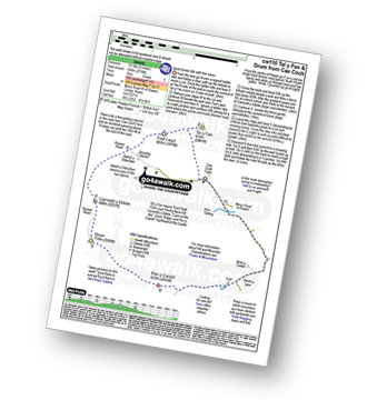
Walk cw110 Tal y Fan and Drum (Carneddau) from Cae Coch

Quiet lonely hills with fine views

Download GPS Waypoint Data for walk cw110
Download GPX Waypoint Data for walk cw110
Download Map and Route Details for walk cw110

Vital Statistics:

Length:8.75 miles (14 km)
Ascent:2,736ft (834m)
Time:6 hrs
Grade:Grade 6 Walking Moderate
Walk 17 Walking Bootprint Icon

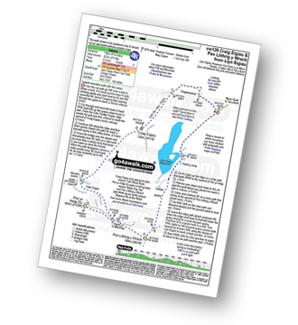
Walk cw126 Craig Eigiau and Pen Llithrig y Wrach from Llyn Eigiau

Superb mountain walk with fine views

Download GPS Waypoint Data for walk cw126
Download GPX Waypoint Data for walk cw126
Download Map and Route Details for walk cw126

Vital Statistics:

Length:9.5 miles (15 km)
Ascent:2,714ft (827m)
Time:6.25hrs
Grade:Grade 6 Walking Moderate
Walk 18 Walking Bootprint Icon

Walk cw113 Pen Yr Ole Wen, Carnedd Dafydd, Carnedd Llewelyn and Pen Yr Helgi Du from Glan Dena, Llyn Ogwen

A fine high walk with dramatic views

Download GPS Waypoint Data for walk cw113
Download GPX Waypoint Data for walk cw113
Download Map and Route Details for walk cw113

Vital Statistics:

Length:9.75 miles (15.5 km)
Ascent:3,523ft (1,074m)
Time:7 hrs
Grade:Grade 7 Walking Hard
Walk 19 Walking Bootprint Icon

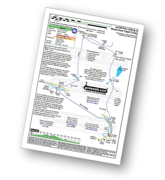
Walk cw109 Pen Llithrig y Wrach and Pen Yr Helgi Du from Capel Curig

Fine views of Tryfan and the Glyders

Download GPS Waypoint Data for walk cw109
Download GPX Waypoint Data for walk cw109
Download Map and Route Details for walk cw109

Vital Statistics:

Length:10 miles (16 km)
Ascent:2,945ft (898m)
Time:6½ hrs
Grade:Grade 7 Walking Hard
Walk 20 Walking Bootprint Icon

Walk cw132 Pen Llithrig y Wrach and Creigiau Gleision from Llyn Eigiau

Testing hike with superb lake views

Download GPS Waypoint Data for walk cw132
Download GPX Waypoint Data for walk cw132
Download Map and Route Details for walk cw132

Vital Statistics:

Length:10 miles (16 km)
Ascent:3,027ft (923m)
Time:6½ hrs
Grade:Grade 7 Walking Hard
Walk 21 Walking Bootprint Icon

Walk cw199 Carnedd Llewelyn, Foel Grach and Pen Llithrig y Wrach from Llyn Eigiau

Superb mountain walk with fine views

Download GPS Waypoint Data for walk cw199
Download GPX Waypoint Data for walk cw199
Download Map and Route Details for walk cw199

Vital Statistics:

Length:11 miles (17.5 km)
Ascent:3,641ft (1,110m)
Time:7.75hrs
Grade:Grade 7 Walking Hard
Walk 22 Walking Bootprint Icon

Walk cw129 The Welsh 3000's (Carneddau) from Glan Dena, Llyn Ogwen

Peak baggers paradise

Download GPS Waypoint Data for walk cw129
Download GPX Waypoint Data for walk cw129
Download Map and Route Details for walk cw129

Vital Statistics:

Length:11.5 miles (18.5 km)
Ascent:4,599ft (1,402m)
Time:8.75hrs
Grade:Grade 8 Walking Hard
Walk 23 Walking Bootprint Icon

Walk cw283 Tal y Fan, Foel-ganol, Yr Orsedd and Drum (Carneddau) from Cae Coch

Quiet lonely hills with fine views

Download GPS Waypoint Data for walk cw283
Download GPX Waypoint Data for walk cw283
Download Map and Route Details for walk cw283

Vital Statistics:

Length:12.25 miles (19.5 km)
Ascent:3,529ft (1,076m)
Time:8 hrs
Grade:Grade 8 Walking Hard
Walk 24 Walking Bootprint Icon

Walk cw146 Craig Eigiau, Pen Llithrig y Wrach and Creigiau Gleision from Llyn Eigiau

Superb mountain walk

Download GPS Waypoint Data for walk cw146
Download GPX Waypoint Data for walk cw146
Download Map and Route Details for walk cw146

Vital Statistics:

Length:13.5 miles (21.5 km)
Ascent:4,477ft (1,364m)
Time:9½ hrs
Grade:Grade 8 Walking Hard
Walk 25 Walking Bootprint Icon

Walk cw180 Carnedd Moel Siabod, Y Foel Goch and Gallt yr Ogof from Pont Cyfyng, Capel Curig

Long mountain walk with two big ascents

Download GPS Waypoint Data for walk cw180
Download GPX Waypoint Data for walk cw180
Download Map and Route Details for walk cw180

Vital Statistics:

Length:13.75 miles (22 km)
Ascent:4,549ft (1,387m)
Time:9½ hrs
Grade:Grade 9 Walking Very Hard

See this list of walks, routes & maps in:

Grade Order | Length Order | Time Order | Walk Number or Start Location Order
NB. To reverse (toggle) this order, click Length Order again


Follow go4awalk.com on Twitter Follow go4awalk.com on Facebook


Home


Find new Friends to go walking with

Walk all 214 Wainwrights in just 59 Walks. Download GPS Waypoints - Great Walks you must not miss!

Walk The Yorkshire Three Peaks Challenge Walk - All the Latest Route Information, GPS Waypoints and Split Times to keep you on Schedule

Walk The British Three Peaks Challenge Walk - All the Latest Route Information and GPS Waypoints

See our pick of The Best Walks in The Lake District - Great Walks you must not miss!

Walk our pick of the Best Lake District Ridge Walks - Great Walks you must not miss!

Walk our pick of the Best Lake District Walks to do in the rain - Great Walks you must not miss!

Walk our pick of The Best Walks in Snowdonia - Great Walks you must not miss!

Walk our pick of The Best Ridge Walks in Wales - Walks you must not miss!

Walk our pick of The Best Walks in The Brecon Beacons - Great Walks you must not miss!

Walk our pick of The Best Walks in The Yorkshire Dales - Walks you must not miss!

Walk our pick of The Best Walks in The Peak District - Walks you must not miss!

Walk our pick of The Best Walks in The Forest of Bowland - Walks you must not miss!

Walk our pick of The Best Walks in Shropshire - Walks you must not miss!

Walk our pick of The Best Walks in Cheshire - Walks you must not miss!

Walk our pick of The Best Walks in Lancashire - Walks you must not miss!

Not sure where to walk next? Try Peak Bagging - Great Walks you must not miss!

Not sure where to walk next? Walk part of a National Trail - Great Walks you must not miss!

Walks with Downloadable and Uploadable GPS Waypoint Data

Walking Kit and Gear Tested by Walkers

Full Site Search
Do not miss our pick of the Best Walks in the UK