60 easy-to-follow circular walks in Cheshire

Sixty easy-to-follow hand-crafted circular walks, routes & maps in Cheshire of all grades in Walk Number Order (Last to First)


See this list of walks, routes & maps in:

Grade Order | Length Order | Time Order | Walk Number or Start Location Order
NB. To reverse (toggle) this order, click Number Order again


Walk 1 Walking Bootprint Icon

Walk ch310 West Parkgate, Sponds Hill and The Cage from Lyme Park Country Park

Superb Cheshire views & a Stately Home

Download GPS Waypoint Data for walk ch310
Download GPX Waypoint Data for walk ch310
Download Map and Route Details for walk ch310

Vital Statistics:

Length:7.25 miles (11.5 km)
Ascent:1,201ft (366m)
Time:3.75hrs
Grade:Grade 4 Walking Moderate
Walk 2 Walking Bootprint Icon

Walk ch269 A Stroll around Lyme Park Country Park

In the footsteps of Pride and Prejudice

Download GPS Waypoint Data for walk ch269
Download GPX Waypoint Data for walk ch269
Download Map and Route Details for walk ch269

Vital Statistics:

Length:4.5 miles (7 km)
Ascent:715ft (218m)
Time:2½ hrs
Grade:Grade 3 Walking Easy
Walk 3 Walking Bootprint Icon

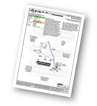
Walk ch267 The River Bollin from Prestbury

A gentle river side stroll

Download GPS Waypoint Data for walk ch267
Download GPX Waypoint Data for walk ch267
Download Map and Route Details for walk ch267

Vital Statistics:

Length:4 miles (6.5 km)
Ascent:272ft (83m)
Time:1.75hrs
Grade:Grade 2 Walking Easy
Walk 4 Walking Bootprint Icon

Walk ch266 The Macclesfield Canal and Lyme Park from Higher Poynton

Good views from a country park

Download GPS Waypoint Data for walk ch266
Download GPX Waypoint Data for walk ch266
Download Map and Route Details for walk ch266

Vital Statistics:

Length:7 miles (11 km)
Ascent:824ft (251m)
Time:3.25hrs
Grade:Grade 4 Walking Moderate
Walk 5 Walking Bootprint Icon

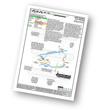
Walk ch261 Statham from Thelwall

A stroll along two famous canals

Download GPS Waypoint Data for walk ch261
Download GPX Waypoint Data for walk ch261
Download Map and Route Details for walk ch261

Vital Statistics:

Length:4.5 miles (7 km)
Ascent:190ft (58m)
Time:1.75hrs
Grade:Grade 1 Walking Easy
Walk 6 Walking Bootprint Icon

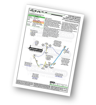
Walk ch253 Little Moreton Hall from Ackers Crossing

Quiet countryside

Download GPS Waypoint Data for walk ch253
Download GPX Waypoint Data for walk ch253
Download Map and Route Details for walk ch253

Vital Statistics:

Length:5.5 miles (9 km)
Ascent:115ft (35m)
Time:2.25hrs
Grade:Grade 1 Walking Easy
Walk 7 Walking Bootprint Icon

Walk ch252 Three Shires Head and Cheeks Hill from The Cat and Fiddle

The highest point in Staffordshire

Download GPS Waypoint Data for walk ch252
Download GPX Waypoint Data for walk ch252
Download Map and Route Details for walk ch252

Vital Statistics:

Length:8.25 miles (13 km)
Ascent:1,247ft (380m)
Time:4.25hrs
Grade:Grade 5 Walking Moderate
Walk 8 Walking Bootprint Icon

Walk ch250 Weaver Navigation from Acton Bridge

Canals & farmland

Download GPS Waypoint Data for walk ch250
Download GPX Waypoint Data for walk ch250
Download Map and Route Details for walk ch250

Vital Statistics:

Length:7.25 miles (11.5 km)
Ascent:384ft (117m)
Time:3 hrs
Grade:Grade 3 Walking Easy
Walk 9 Walking Bootprint Icon

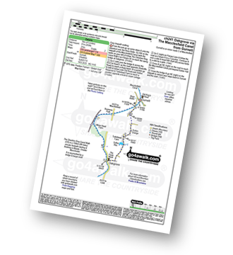
Walk ch241 Oakgrove via The Macclesfield Canal from Gurnett

Easy canal towpath walking

Download GPS Waypoint Data for walk ch241
Download GPX Waypoint Data for walk ch241
Download Map and Route Details for walk ch241

Vital Statistics:

Length:4.5 miles (7 km)
Ascent:266ft (81m)
Time:2 hrs
Grade:Grade 2 Walking Easy
Walk 10 Walking Bootprint Icon

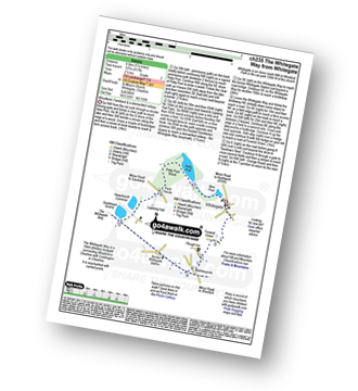
Walk ch235 Newchurch Common from Whitegate

Woodland, Farmland & a dismantled railway

Download GPS Waypoint Data for walk ch235
Download GPX Waypoint Data for walk ch235
Download Map and Route Details for walk ch235

Vital Statistics:

Length:5.25 miles (8.5 km)
Ascent:417ft (127m)
Time:2½ hrs
Grade:Grade 2 Walking Easy
Walk 11 Walking Bootprint Icon

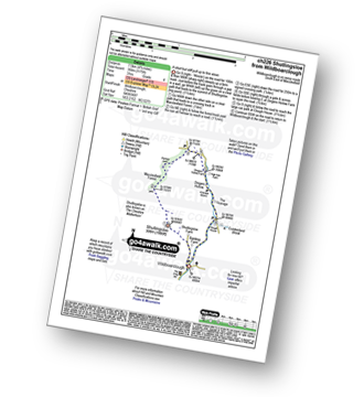
Walk ch226 Shutlingsloe from Wildboarclough

The 'Cheshire Matterhorn' - a short but stiff pull up to fine views

Download GPS Waypoint Data for walk ch226
Download GPX Waypoint Data for walk ch226
Download Map and Route Details for walk ch226

Vital Statistics:

Length:4.75 miles (7.5 km)
Ascent:1,175ft (358m)
Time:3 hrs
Grade:Grade 4 Walking Moderate
Walk 12 Walking Bootprint Icon

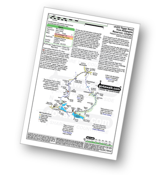
Walk ch223 Tegg's Nose from Langley

Forest walking followed by fine views

Download GPS Waypoint Data for walk ch223
Download GPX Waypoint Data for walk ch223
Download Map and Route Details for walk ch223

Vital Statistics:

Length:4.75 miles (7.5 km)
Ascent:886ft (270m)
Time:2½ hrs
Grade:Grade 3 Walking Easy
Walk 13 Walking Bootprint Icon

Walk ch213 The Sandstone Trail and Higher Burwardsley from Beeston

Woodland and farmland walk

Download GPS Waypoint Data for walk ch213
Download GPX Waypoint Data for walk ch213
Download Map and Route Details for walk ch213

Vital Statistics:

Length:4.75 miles (7.5 km)
Ascent:515ft (157m)
Time:2.25hrs
Grade:Grade 2 Walking Easy
Walk 14 Walking Bootprint Icon

Walk ch209 Three Shires Head from Wildboarclough

Easy moorland walking

Download GPS Waypoint Data for walk ch209
Download GPX Waypoint Data for walk ch209
Download Map and Route Details for walk ch209

Vital Statistics:

Length:3.75 miles (11 km)
Ascent:1,415ft (431m)
Time:4 hrs
Grade:Grade 5 Walking Moderate
Walk 15 Walking Bootprint Icon

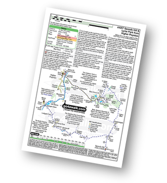
Walk ch207 Sponds Hill and Lyme Park from Higher Poynton

Superb Cheshire views and a Stately Home

Download GPS Waypoint Data for walk ch207
Download GPX Waypoint Data for walk ch207
Download Map and Route Details for walk ch207

Vital Statistics:

Length:9.75 miles (15.5 km)
Ascent:9ft (409m)
Time:5 hrs
Grade:Grade 5 Walking Moderate
Walk 16 Walking Bootprint Icon

Walk ch193 The Bridgewater Canal and Hatton from Higher Walton

Quiet country fields & canal towpaths

Download GPS Waypoint Data for walk ch193
Download GPX Waypoint Data for walk ch193
Download Map and Route Details for walk ch193

Vital Statistics:

Length:6.25 miles (10 km)
Ascent:400ft (122m)
Time:2.75hrs
Grade:Grade 3 Walking Easy
Walk 17 Walking Bootprint Icon

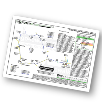
Walk ch189 Wettenhall from Church Minshull

Quiet country lanes

Download GPS Waypoint Data for walk ch189
Download GPX Waypoint Data for walk ch189
Download Map and Route Details for walk ch189

Vital Statistics:

Length:8.25 miles (13 km)
Ascent:295ft (90m)
Time:3½ hrs
Grade:Grade 3 Walking Easy
Walk 18 Walking Bootprint Icon

Walk ch184 The Trent and Mersey Canal and Anderton Boat Lift from Marbury Country Park

Fascinating Victorian engineering

Download GPS Waypoint Data for walk ch184
Download GPX Waypoint Data for walk ch184
Download Map and Route Details for walk ch184

Vital Statistics:

Length:3.75 miles (6 km)
Ascent:253ft (77m)
Time:2 hrs
Grade:Grade 1 Walking Easy
Walk 19 Walking Bootprint Icon

Walk ch181 The Trent and Mersey Canal from Little Leigh

Delightful canal walk & quiet countryside

Download GPS Waypoint Data for walk ch181
Download GPX Waypoint Data for walk ch181
Download Map and Route Details for walk ch181

Vital Statistics:

Length:5 miles (8 km)
Ascent:338ft (103m)
Time:2.25hrs
Grade:Grade 2 Walking Easy
Walk 20 Walking Bootprint Icon

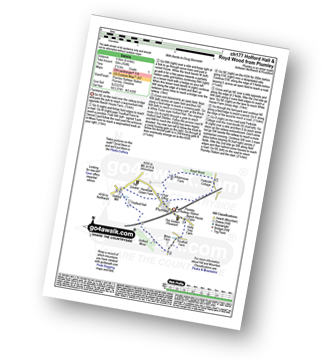
Walk ch177 Holford Hall and Royd Wood from Plumley

Farmland paths

Download GPS Waypoint Data for walk ch177
Download GPX Waypoint Data for walk ch177
Download Map and Route Details for walk ch177

Vital Statistics:

Length:6 miles (9.5 km)
Ascent:164ft (50m)
Time:2½ hrs
Grade:Grade 1 Walking Easy
Walk 21 Walking Bootprint Icon

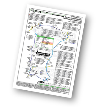
Walk ch175 The Macclesfield Canal, Bosley Locks and North Rode from Gawsworth

Gentle countryside stroll and historic church and hall

Download GPS Waypoint Data for walk ch175
Download GPX Waypoint Data for walk ch175
Download Map and Route Details for walk ch175

Vital Statistics:

Length:9.25 miles (15 km)
Ascent:545ft (166m)
Time:4 hrs
Grade:Grade 4 Walking Moderate
Walk 22 Walking Bootprint Icon

Walk ch172 The Cloud (Bosley Cloud) and Rushtone Spencer from Timbersbrook

Stunning views

Download GPS Waypoint Data for walk ch172
Download GPX Waypoint Data for walk ch172
Download Map and Route Details for walk ch172

Vital Statistics:

Length:7.5 miles (12 km)
Ascent:1,359ft (414m)
Time:4.25hrs
Grade:Grade 5 Walking Moderate
Walk 23 Walking Bootprint Icon

Walk ch170 Little Moreton Hall and Mow Cop from Ackers Crossing

Quiet countryside and a castle/folly

Download GPS Waypoint Data for walk ch170
Download GPX Waypoint Data for walk ch170
Download Map and Route Details for walk ch170

Vital Statistics:

Length:8.25 miles (13 km)
Ascent:804ft (245m)
Time:3.75hrs
Grade:Grade 4 Walking Moderate
Walk 24 Walking Bootprint Icon

Walk ch161 Great Budworth from Arley Hall

Historical village & church

Download GPS Waypoint Data for walk ch161
Download GPX Waypoint Data for walk ch161
Download Map and Route Details for walk ch161

Vital Statistics:

Length:5.5 miles (8.5 km)
Ascent:158ft (48m)
Time:2.25hrs
Grade:Grade 1 Walking Easy
Walk 25 Walking Bootprint Icon

Walk ch157 Shining Tor and Cats Tor from Lamaload Reservoir

Steady climb to great views

Download GPS Waypoint Data for walk ch157
Download GPX Waypoint Data for walk ch157
Download Map and Route Details for walk ch157

Vital Statistics:

Length:6.25 miles (10 km)
Ascent:1,224ft (373m)
Time:3½ hrs
Grade:Grade 4 Walking Moderate
Walk 26 Walking Bootprint Icon

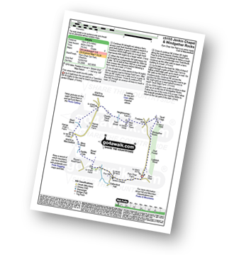
Walk ch155 Jenkin Chapel and Windgather Rocks from Pym Chair

Fine views from quiet country paths

Download GPS Waypoint Data for walk ch155
Download GPX Waypoint Data for walk ch155
Download Map and Route Details for walk ch155

Vital Statistics:

Length:6.25 miles (10 km)
Ascent:1,451ft (442m)
Time:3.75hrs
Grade:Grade 4 Walking Moderate
Walk 27 Walking Bootprint Icon

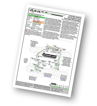
Walk ch153 Raw Head and The Sandstone Trail from Higher Burwardsley

Superb views of the Cheshire Plain

Download GPS Waypoint Data for walk ch153
Download GPX Waypoint Data for walk ch153
Download Map and Route Details for walk ch153

Vital Statistics:

Length:5.5 miles (8.5 km)
Ascent:1,050ft (320m)
Time:3 hrs
Grade:Grade 4 Walking Moderate
Walk 28 Walking Bootprint Icon

Walk ch151 The Sandstone Trail and The Shropshire Union Canal from Tiverton

Canal towpath and field paths

Download GPS Waypoint Data for walk ch151
Download GPX Waypoint Data for walk ch151
Download Map and Route Details for walk ch151

Vital Statistics:

Length:3.5 miles (5.5 km)
Ascent:286ft (87m)
Time:1.75hrs
Grade:Grade 2 Walking Easy
Walk 29 Walking Bootprint Icon

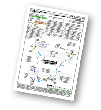
Walk ch148 Gawsworth Hall from North Rode

Gentle countryside and historic church & hall

Download GPS Waypoint Data for walk ch148
Download GPX Waypoint Data for walk ch148
Download Map and Route Details for walk ch148

Vital Statistics:

Length:7.25 miles (11.5 km)
Ascent:404ft (123m)
Time:3 hrs
Grade:Grade 3 Walking Easy
Walk 30 Walking Bootprint Icon

Walk ch146 Kettleshulme and Shining Tor from Lamaload Reservoir

Varied walking

Download GPS Waypoint Data for walk ch146
Download GPX Waypoint Data for walk ch146
Download Map and Route Details for walk ch146

Vital Statistics:

Length:9.5 miles (15 km)
Ascent:1,611ft (491m)
Time:5 hrs
Grade:Grade 5 Walking Moderate
Walk 31 Walking Bootprint Icon

Walk ch145 Mow Cop from Ackers Crossing

Quiet countryside and a castle/folly

Download GPS Waypoint Data for walk ch145
Download GPX Waypoint Data for walk ch145
Download Map and Route Details for walk ch145

Vital Statistics:

Length:5.5 miles (9 km)
Ascent:689ft (215m)
Time:2.75hrs
Grade:Grade 3 Walking Easy
Walk 32 Walking Bootprint Icon

Walk ch142 The Sandstone Trail, Beeston Castle and Higher Burwardsley from Tarporley

Field paths and woodland

Download GPS Waypoint Data for walk ch142
Download GPX Waypoint Data for walk ch142
Download Map and Route Details for walk ch142

Vital Statistics:

Length:11.25 miles (18 km)
Ascent:883ft (269m)
Time:5 hrs
Grade:Grade 5 Walking Moderate
Walk 33 Walking Bootprint Icon

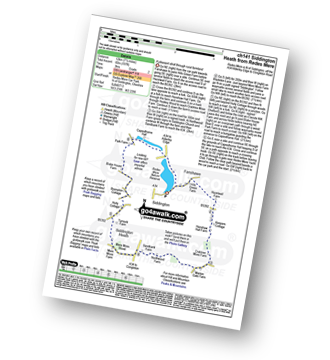
Walk ch141 Siddington Heath from Redes Mere

A pleasant stroll through rural farmland

Download GPS Waypoint Data for walk ch141
Download GPX Waypoint Data for walk ch141
Download Map and Route Details for walk ch141

Vital Statistics:

Length:7.5 miles (12 km)
Ascent:197ft (60m)
Time:3 hrs
Grade:Grade 2 Walking Easy
Walk 34 Walking Bootprint Icon

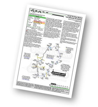
Walk ch140 Mottram Hall from Mottram St Andrew

Gentle country meanderings

Download GPS Waypoint Data for walk ch140
Download GPX Waypoint Data for walk ch140
Download Map and Route Details for walk ch140

Vital Statistics:

Length:5.75 miles (9 km)
Ascent:354ft (108m)
Time:2½ hrs
Grade:Grade 2 Walking Easy
Walk 35 Walking Bootprint Icon

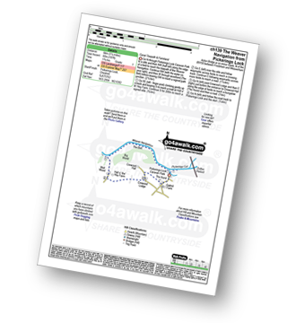
Walk ch139 The Weaver Navigation from Pickerings Lock

Canal towpaths & farmland

Download GPS Waypoint Data for walk ch139
Download GPX Waypoint Data for walk ch139
Download Map and Route Details for walk ch139

Vital Statistics:

Length:3.75 miles (6 km)
Ascent:197ft (60m)
Time:1.75hrs
Grade:Grade 1 Walking Easy
Walk 36 Walking Bootprint Icon

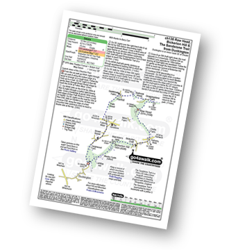
Walk ch136 Raw Head, Bickerton Hill and The Sandstone Trail from Duckington

Superb views of the Cheshire Plain

Download GPS Waypoint Data for walk ch136
Download GPX Waypoint Data for walk ch136
Download Map and Route Details for walk ch136

Vital Statistics:

Length:6.5 miles (10.5 km)
Ascent:6ft (421m)
Time:2.75hrs
Grade:Grade 4 Walking Moderate
Walk 37 Walking Bootprint Icon

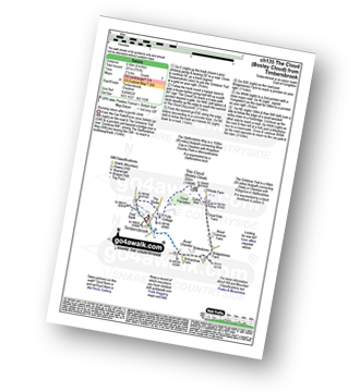
Walk ch135 The Cloud (Bosley Cloud) from Timbersbrook

Stunning views after a gentle climb

Download GPS Waypoint Data for walk ch135
Download GPX Waypoint Data for walk ch135
Download Map and Route Details for walk ch135

Vital Statistics:

Length:4 miles (6.5 km)
Ascent:791ft (241m)
Time:2.25hrs
Grade:Grade 3 Walking Easy
Walk 38 Walking Bootprint Icon

Walk ch134 The River Bollin, Styal Country Park and Quarry Bank Mill from Wilmslow

Lovely riverside path and historic mill

Download GPS Waypoint Data for walk ch134
Download GPX Waypoint Data for walk ch134
Download Map and Route Details for walk ch134

Vital Statistics:

Length:5.5 miles (9 km)
Ascent:499ft (152m)
Time:2.75hrs
Grade:Grade 3 Walking Easy
Walk 39 Walking Bootprint Icon

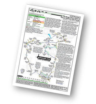
Walk ch133 Goostrey, The Bongs, Boots Green and Peover Hall from Over Peover

Historic hall and church

Download GPS Waypoint Data for walk ch133
Download GPX Waypoint Data for walk ch133
Download Map and Route Details for walk ch133

Vital Statistics:

Length:9.5 miles (15 km)
Ascent:358ft (109m)
Time:3.75hrs
Grade:Grade 3 Walking Easy
Walk 40 Walking Bootprint Icon

Walk ch132 The Lymm Heritage Trail

Pleasant stroll through a historic village

Download GPS Waypoint Data for walk ch132
Download GPX Waypoint Data for walk ch132
Download Map and Route Details for walk ch132

Vital Statistics:

Length:3.75 miles (6 km)
Ascent:204ft (62m)
Time:2 hrs
Grade:Grade 1 Walking Easy
Walk 41 Walking Bootprint Icon

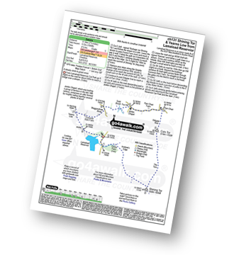
Walk ch131 Shining Tor and Yearns Low from Lamaload Reservoir

Steady climb to great views

Download GPS Waypoint Data for walk ch131
Download GPX Waypoint Data for walk ch131
Download Map and Route Details for walk ch131

Vital Statistics:

Length:7.25 miles (11.5 km)
Ascent:1,680ft (512m)
Time:4½ hrs
Grade:Grade 5 Walking Moderate
Walk 42 Walking Bootprint Icon

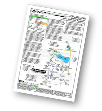
Walk ch129 Hangingstone Hill (Eddisbury Hill) from Barns Bridge Gates, Hatchmere

Superb views from Hangingstone Hill (Eddisbury Hill)

Download GPS Waypoint Data for walk ch129
Download GPX Waypoint Data for walk ch129
Download Map and Route Details for walk ch129

Vital Statistics:

Length:6 miles (9.5 km)
Ascent:479ft (146m)
Time:2.75hrs
Grade:Grade 3 Walking Easy
Walk 43 Walking Bootprint Icon

Walk ch128 Gawsworth from Oakgrove

Gentle stroll to a historic house

Download GPS Waypoint Data for walk ch128
Download GPX Waypoint Data for walk ch128
Download Map and Route Details for walk ch128

Vital Statistics:

Length:4.5 miles (7 km)
Ascent:66ft (20m)
Time:1½ hrs
Grade:Grade 1 Walking Easy
Walk 44 Walking Bootprint Icon

Walk ch124 Holford Hall from Plumley

Farmland paths

Download GPS Waypoint Data for walk ch124
Download GPX Waypoint Data for walk ch124
Download Map and Route Details for walk ch124

Vital Statistics:

Length:3.75 miles (6 km)
Ascent:118ft (36m)
Time:1½ hrs
Grade:Grade 1 Walking Easy
Walk 45 Walking Bootprint Icon

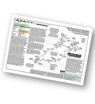
Walk ch123 Knolls Green and Lindow Moss from Lindow Common, Wilmslow

One of the few lowland heaths in NW England

Download GPS Waypoint Data for walk ch123
Download GPX Waypoint Data for walk ch123
Download Map and Route Details for walk ch123

Vital Statistics:

Length:6.5 miles (10.5 km)
Ascent:167ft (51m)
Time:2.75hrs
Grade:Grade 2 Walking Easy
Walk 46 Walking Bootprint Icon

Walk ch122 Jenkin Chapel and Yearns Low from Lamaload Reservoir

Delightful country walking

Download GPS Waypoint Data for walk ch122
Download GPX Waypoint Data for walk ch122
Download Map and Route Details for walk ch122

Vital Statistics:

Length:3.5 miles (5.5 km)
Ascent:840ft (256m)
Time:2.25hrs
Grade:Grade 3 Walking Easy
Walk 47 Walking Bootprint Icon

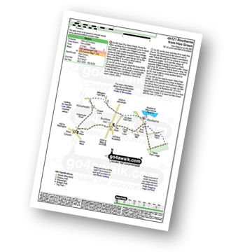
Walk ch121 Rostherne from Hoo Green

Quiet country lanes

Download GPS Waypoint Data for walk ch121
Download GPX Waypoint Data for walk ch121
Download Map and Route Details for walk ch121

Vital Statistics:

Length:6.75 miles (11 km)
Ascent:370ft (110m)
Time:3 hrs
Grade:Grade 2 Walking Easy
Walk 48 Walking Bootprint Icon

Walk ch120 The Bridgewater Canal from Lymm

Gentle waterside stroll

Download GPS Waypoint Data for walk ch120
Download GPX Waypoint Data for walk ch120
Download Map and Route Details for walk ch120

Vital Statistics:

Length:5.25 miles (8.5 km)
Ascent:246ft (75m)
Time:2.25hrs
Grade:Grade 2 Walking Easy
Walk 49 Walking Bootprint Icon

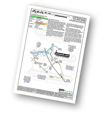
Walk ch118 Dutton Locks from Acton Bridge

Canal towpaths & farmland

Download GPS Waypoint Data for walk ch118
Download GPX Waypoint Data for walk ch118
Download Map and Route Details for walk ch118

Vital Statistics:

Length:4 miles (6.5 km)
Ascent:233ft (71m)
Time:1.75hrs
Grade:Grade 1 Walking Easy
Walk 50 Walking Bootprint Icon

Walk ch116 The Sandstone Trail and The Shropshire Union Canal from Tarpoley

Field path & a canal towpath

Download GPS Waypoint Data for walk ch116
Download GPX Waypoint Data for walk ch116
Download Map and Route Details for walk ch116

Vital Statistics:

Length:6 miles (9.5 km)
Ascent:295ft (90m)
Time:2½ hrs
Grade:Grade 2 Walking Easy
Walk 51 Walking Bootprint Icon

Walk ch115 North Rode from Bosley Locks

Lovely stroll down a 12 Canal Lock Staircase

Download GPS Waypoint Data for walk ch115
Download GPX Waypoint Data for walk ch115
Download Map and Route Details for walk ch115

Vital Statistics:

Length:4.5 miles (7 km)
Ascent:341ft (104m)
Time:2 hrs
Grade:Grade 2 Walking Easy
Walk 52 Walking Bootprint Icon

Walk ch110 Helsby Hill and The Sandstone Trail from Frodsham

Fine views of the mersey estuary

Download GPS Waypoint Data for walk ch110
Download GPX Waypoint Data for walk ch110
Download Map and Route Details for walk ch110

Vital Statistics:

Length:6.25 miles (10 km)
Ascent:1,254ft (382m)
Time:3½ hrs
Grade:Grade 4 Walking Moderate
Walk 53 Walking Bootprint Icon

Walk ch109 Great Budworth from Pickmere

Lovely church, village and lake

Download GPS Waypoint Data for walk ch109
Download GPX Waypoint Data for walk ch109
Download Map and Route Details for walk ch109

Vital Statistics:

Length:5 miles (8 km)
Ascent:226ft (69m)
Time:2.25hrs
Grade:Grade 2 Walking Easy
Walk 54 Walking Bootprint Icon

Walk ch108 The Cloud (Bosley Cloud) and The Macclesfield Canal from Timbersbrook

Huge views followed by a canal towpath

Download GPS Waypoint Data for walk ch108
Download GPX Waypoint Data for walk ch108
Download Map and Route Details for walk ch108

Vital Statistics:

Length:9 miles (14.5 km)
Ascent:1,208ft (368m)
Time:4½ hrs
Grade:Grade 5 Walking Moderate
Walk 55 Walking Bootprint Icon

Walk ch107 Bulkeley Hill, Raw Head, Bickerton Hill and The Sandstone Trail from Upper Bewardsley

Superb views of the Cheshire Plain

Download GPS Waypoint Data for walk ch107
Download GPX Waypoint Data for walk ch107
Download Map and Route Details for walk ch107

Vital Statistics:

Length:9.5 miles (15 km)
Ascent:1,831ft (558m)
Time:5.25hrs
Grade:Grade 6 Walking Moderate
Walk 56 Walking Bootprint Icon

Walk ch106 New Mills from Hale

Quiet farmland

Download GPS Waypoint Data for walk ch106
Download GPX Waypoint Data for walk ch106
Download Map and Route Details for walk ch106

Vital Statistics:

Length:8.5 miles (13.5 km)
Ascent:453ft (138m)
Time:3½ hrs
Grade:Grade 3 Walking Easy
Walk 57 Walking Bootprint Icon

Walk ch104 Croker Hill from The Hanging Gate

Fabulous views

Download GPS Waypoint Data for walk ch104
Download GPX Waypoint Data for walk ch104
Download Map and Route Details for walk ch104

Vital Statistics:

Length:8.5 miles (13.5 km)
Ascent:1,690ft (515m)
Time:4.75hrs
Grade:Grade 5 Walking Moderate
Walk 58 Walking Bootprint Icon

Walk ch103 Hare Hill and Monk's Heath from Alderley Edge

Pleasant Country Walk

Download GPS Waypoint Data for walk ch103
Download GPX Waypoint Data for walk ch103
Download Map and Route Details for walk ch103

Vital Statistics:

Length:8.75 miles (14 km)
Ascent:1,050ft (320m)
Time:4.25hrs
Grade:Grade 5 Walking Moderate
Walk 59 Walking Bootprint Icon

Walk ch102 Dunham Massey and The Bridgewater Canal from Lymm

Fine waterside walk

Download GPS Waypoint Data for walk ch102
Download GPX Waypoint Data for walk ch102
Download Map and Route Details for walk ch102

Vital Statistics:

Length:11.25 miles (18 km)
Ascent:213ft (65m)
Time:4½ hrs
Grade:Grade 2 Walking Easy
Walk 60 Walking Bootprint Icon

Walk ch101 Shutlingsloe and Wildboarclough from Ridgegate Reservoir

The 'Cheshire Matterhorn' - varied walking with one steep ascent

Download GPS Waypoint Data for walk ch101
Download GPX Waypoint Data for walk ch101
Download Map and Route Details for walk ch101

Vital Statistics:

Length:7.25 miles (11.5 km)
Ascent:1,598ft (487m)
Time:4.25hrs
Grade:Grade 5 Walking Moderate

See this list of walks, routes & maps in:

Grade Order | Length Order | Time Order | Walk Number or Start Location Order
NB. To reverse (toggle) this order, click Number Order again


Do not miss our pick of the Best Walks in the UK


Follow go4awalk.com on Twitter Follow go4awalk.com on Facebook


Home


Find new Friends to go walking with

Walk all 214 Wainwrights in just 59 Walks. Download GPS Waypoints - Great Walks you must not miss!

Walk The Yorkshire Three Peaks Challenge Walk - All the Latest Route Information, GPS Waypoints and Split Times to keep you on Schedule

Walk The British Three Peaks Challenge Walk - All the Latest Route Information and GPS Waypoints

See our pick of The Best Walks in The Lake District - Great Walks you must not miss!

Walk our pick of the Best Lake District Ridge Walks - Great Walks you must not miss!

Walk our pick of the Best Lake District Walks to do in the rain - Great Walks you must not miss!

Walk our pick of The Best Walks in Snowdonia - Great Walks you must not miss!

Walk our pick of The Best Ridge Walks in Wales - Walks you must not miss!
Walk our pick of The Best Walks in The Brecon Beacons - Great Walks you must not miss!

Walk our pick of The Best Walks in The Yorkshire Dales - Walks you must not miss!

Walk our pick of The Best Walks in The Peak District - Walks you must not miss!

Walk our pick of The Best Walks in The Forest of Bowland - Walks you must not miss!

Walk our pick of The Best Walks in Shropshire - Walks you must not miss!

Walk our pick of The Best Walks in Cheshire - Walks you must not miss!

Walk our pick of The Best Walks in Lancashire - Walks you must not miss!

Not sure where to walk next? Try Peak Bagging - Great Walks you must not miss!

Not sure where to walk next? Walk part of a National Trail - Great Walks you must not miss!

Walks with Downloadable and Uploadable GPS Waypoint Data

Walking Kit and Gear Tested by Walkers

Full Site Search