Twenty easy to follow walks from Burns Farm Caravan and Camping Site Campsite, St John's in the Vale, The Lake District, Cumbria, England
To reach Burns Farm Caravan and Camping Site Campsite, St John's in the Vale, in-car SatNav users should select the Latitude/Longitude (Lat Lon) screen and enter:
Lat = N54.60890 and Lon = W3.07358 or postcode: CA12 4RR
Not familiar with this campsite?
Twenty easy to follow walks from Burns Farm Caravan and Camping Site Campsite, St John's in the Vale, The Lake District, Cumbria, England
Scroll down the list of walks below & click on each walk title (in blue) to locate it on the map above.

   |
Vital Statistics:
| Length: | 2 miles (3 km) |
| Ascent: | 413ft (126m) |
| Time: | 1 hrs |
| Grade: |  |

Route Summary:
Keswick - Gale Road (Underscar) - The Cumbria Way - Latrigg - Gale Road (Underscar) - Nr Keswick.


|
Vital Statistics:
| Length: | 4.5 miles (7 km) |
| Ascent: | 361ft (110m) |
| Time: | 2 hrs |
| Grade: |  |

Route Summary:
Keswick - Keswick Station - Former Keswick Railway Line - A591 - Chestnut Hill - Castlerigg Stone Circle - High Nest Farm - Castlerigg - Brockle Beck - Springs Farm - Keswick

|
Vital Statistics:
| Length: | 9 miles (14 km) |
| Ascent: | 131ft (40m) |
| Time: | 3.25hrs |
| Grade: | |
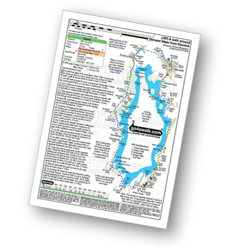
Route Summary:
Keswick - The Cumbria Way - The Allerdale Ramble - Portinscale - Nichol End - Derwent Water - Hawes End - Brandlehow Point - Park Neb - Strutta Wood - Calfclose Bay - Stable Hills - Friar's Crag - Keswick

|
Vital Statistics:
| Length: | 6 miles (9.5 km) |
| Ascent: | 295ft (90m) |
| Time: | 2½ hrs |
| Grade: | |
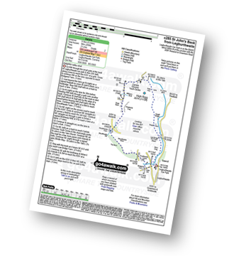
Route Summary:
Legburthwaite Car Park - Bridgend Farm - Shoulthwaite Farm - Shaw Bank - Carlisle Diocese Youth Centre - St John's in The Vale Church - Low Bridge End Farm - Legburthwaite Car Park

|
Vital Statistics:
| Length: | 6.25 miles (10 km) |
| Ascent: | 1,230ft (375m) |
| Time: | 3½ hrs |
| Grade: |  |

Route Summary:
Keswick - Friar's Crag - Calfclose Bay - Barrow Bay - Derwent Water - Ashness Bridge - Walla Crag - Rakefoot - Castlerigg - Brockle Beck - Spring Farm - Keswick

|
Vital Statistics:
| Length: | 6.25 miles (10 km) |
| Ascent: | 941ft (287m) |
| Time: | 3 hrs |
| Grade: | |


|
Vital Statistics:
| Length: | 5.25 miles (8.5 km) |
| Ascent: | 1,414ft (431m) |
| Time: | 3½ hrs |
| Grade: | |
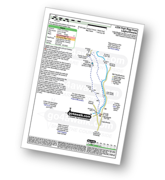
Route Summary:
Legburthwaite Car Park - A591 - Long Band - Cowrake Head - Moss Crag - High Rigg - Carlisle Diocese Youth Centre - St John's In The Vale Church - Low Bridge Farm - Legburthwaite Car Park

|
Vital Statistics:
| Length: | 3.75 miles (6 km) |
| Ascent: | 1,628ft (496m) |
| Time: | 3 hrs |
| Grade: | |

Route Summary:
Keswick - Derwent Water Launch - Nichol End Pier - Hawes End Pier - Newlands Valley - Woodford's Path - Cat Bells (Catbells) - Hawes End Pier - Derwent Water Launch - Keswick

|
Vital Statistics:
| Length: | 6 miles (9.5 km) |
| Ascent: | 900ft (274m) |
| Time: | 3.24hrs |
| Grade: | |
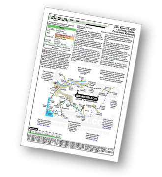
Route Summary:
Keswick - Friar's Crag - Borrowdale Road - Spring Farm - Brockle Beck - Castlerigg - High Nest Farm - Castlerigg Stone Circle - Brigham - River Greta - Keswick

|
Vital Statistics:
| Length: | 9.5 miles (15 km) |
| Ascent: | 1,250ft (381m) |
| Time: | 4.75hrs |
| Grade: |  |

Route Summary:
Keswick - Friar's Crag - Borrowdale Road - Spring Farm - Brockle Beck - Castlerigg - High Nest Farm - Castlerigg Stone Circle - Naddle Bridge - Threlkeld - River Greta - Keswick

|
Vital Statistics:
| Length: | 3.75 miles (6 km) |
| Ascent: | 2,398ft (731m) |
| Time: | 3.75hrs |
| Grade: | |

Route Summary:
Threlkeld - Gategill Farm - Hall's Fell - Hall's Fell Ridge - Blencathra or Saddleback (Hallsfell Top) - Gategill Fell Top - Knowe Crags (Blease Fell) - Threlkeld

|
Vital Statistics:
| Length: | 9.5 miles (15 km) |
| Ascent: | 2,257ft (688m) |
| Time: | 5½ hrs |
| Grade: |  |
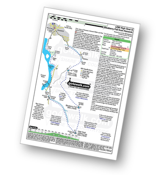
Route Summary:
Keswick - Derwent Water - Friar's Crag - Calfclose Bay - Barrow Bay - Derwent Water - Ashness Bridge - High Seat (Ashness Fell) - Bleaberry Fell - Walla Crag - Rakefoot - Castlerigg - Keswick

|
Vital Statistics:
| Length: | 8.75 miles (14 km) |
| Ascent: | 3,296ft (1,005m) |
| Time: | 6½ hrs |
| Grade: |  |

Route Summary:
The Swirls Car Park Thirlmere - Browncove Crags - Lower Man (Helvellyn) - Helvellyn - White Side - Raise (Helvellyn) - Sticks Pass - Sticks Gill - Stanah Gill - Legburthwaite - Thirlmere - Thirlspot - The Swirls Car Park Thirlmere.

|
Vital Statistics:
| Length: | 10.5 miles (17 km) |
| Ascent: | 3,575ft (1,090m) |
| Time: | 7½ hrs |
| Grade: | |

Route Summary:
The Swirls Car Park Thirlmere - Browncove Crags - Lower Man (Helvellyn) - Helvellyn - White Side - Raise (Helvellyn) - Sticks Pass - Stybarrow Dodd - Watson's Dodd - Great Dodd - Legburthwaite - Thirlmere - Thirlspot - The Swirls Car Park Thirlmere.

|
Vital Statistics:
| Length: | 10.25 miles (16.5 km) |
| Ascent: | 2,850ft (869m) |
| Time: | 6½ hrs |
| Grade: | |
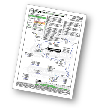
Route Summary:
Keswick - Gale Road (Underscar) Nr Keswick - Lonscale Fell - Jenkin Hill - Little Man (Skiddaw) - Skiddaw - Sale How (Skiddaw) - Skiddaw House - Gale Road (Underscar) Nr Keswick.

|
Vital Statistics:
| Length: | 8.25 miles (13 km) |
| Ascent: | 3,306ft (1,008m) |
| Time: | 6.25hrs |
| Grade: | |
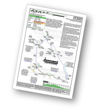
Route Summary:
Keswick - Millbeck - The Allerdale Ramble - Doups - White Stones - Carl Side - Longside Edge - Long Side - Skiddaw - Little Man (Skiddaw) - The Cumbria Way - Applethwaite - The Allerdale Ramble - Millbeck - Nr Keswick.

|
Vital Statistics:
| Length: | 11.5 miles (18.5 km) |
| Ascent: | 3,214ft (980m) |
| Time: | 7½ hrs |
| Grade: | |
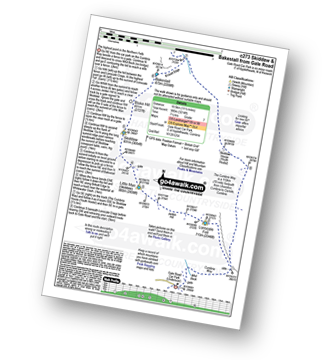
Route Summary:
Keswick - Gale Road - Lonscale Fell - Jenkin Hill - Little Man (Skiddaw) - Skiddaw - Bakestall - Birkett Edge - Whitewater Dash - Back O' Skiddaw - The Cumbria Way - Skiddaw House - Gale Road (Underscar) Nr Keswick.

|
Vital Statistics:
| Length: | 9.75 miles (15.5 km) |
| Ascent: | 3,529ft (1,076m) |
| Time: | 7 hrs |
| Grade: | |

Route Summary:
Keswick - Millbeck - The Allerdale Ramble - Doups - White Stones - Carl Side - Longside Edge - Long Side - Skiddaw - Little Man (Skiddaw) - Jenkin Hill - Lonscale Fell - Lonscale Crags - The Cumbria Way - Applethwaite - The Allerdale Ramble - Millbeck - Nr Keswick.

|
Vital Statistics:
| Length: | 11.25 miles (18 km) |
| Ascent: | 3,965ft (1,208m) |
| Time: | 8.25hrs |
| Grade: |  |

Route Summary:
Legburthwaite Car Park - A591 - Long Band - Cowrake Head - Moss Crag - High Rigg - Carlisle Diocese Youth Centre - St John's In The Vale Church - B5322 - Wanthwaite Bank - Threlkeld Knotts - Buck Castles - Clough Head - Calfhow Pike - Great Dodd - Watson's Dodd - Stybarrow Dodd - Sticks Pass - Legburthwaite Car Park

|
Vital Statistics:
| Length: | 15.25 miles (24.5 km) |
| Ascent: | 5,458ft (1,663m) |
| Time: | 11 hrs |
| Grade: |  |

Route Summary:
Keswick - Millbeck - The Allerdale Ramble - Doups - Dodd (Skiddaw) - White Stones (Skiddaw) - Carl Side - Longside Edge - Long Side - Ullock Pike - Carlside Tarn - Skiddaw - Blake Hill - Bakestall - Little Man (Skiddaw) - Jenkin Hill - Lonscale Fell - Lonscale Crags - The Cumbria Way - Latrigg - Applethwaite - The Allerdale Ramble - Millbeck - Nr Keswick.





