Fifteen easy to follow walks from Low Manesty Caravan Club Site Campsite, Manesty, The Lake District, Cumbria, England
To reach Low Manesty Caravan Club Site Campsite, Manesty, in-car SatNav users should select the Latitude/Longitude (Lat Lon) screen and enter:
Lat = N54.55741 and Lon = W3.15907 or postcode: CA12 5UG
Not familiar with this campsite?
Fifteen easy to follow walks from Low Manesty Caravan Club Site Campsite, Manesty, The Lake District, Cumbria, England
Scroll down the list of walks below & click on each walk title (in blue) to locate it on the map above.

   |
Vital Statistics:
| Length: | 9 miles (14 km) |
| Ascent: | 131 ft (40 m) |
| Time: | 3.25 hrs |
| Grade: |  |
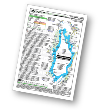
Detailed walk route map PDF
complete with GPS Waypoints
Route Summary:
Keswick - The Cumbria Way - The Allerdale Ramble - Portinscale - Nichol End - Derwent Water - Hawes End - Brandlehow Point - Park Neb - Strutta Wood - Calfclose Bay - Stable Hills - Friar's Crag - Keswick


|
Vital Statistics:
| Length: | 5 miles (8 km) |
| Ascent: | 649 ft (198 m) |
| Time: | 2.75 hrs |
| Grade: |  |

Detailed walk route map PDF
complete with GPS Waypoints
Route Summary:
Hawes End - Gutherscale - Derwent Water - Skelgill Farm - Yewthwaite Gill - Little Town - Parrocks Gill - Goldscope Lead Mine - Newlands Beck - Low Snab Farm - Newlands Church - Newlands Valley - Rigg Beck - Rowling End Farm - Newlands Beck - Ghyll Bank - Skelgill Farm - Gutherscale - Hawes End

|
Vital Statistics:
| Length: | 3.5 miles (5.5 km) |
| Ascent: | 906 ft (276 m) |
| Time: | 2½ hrs |
| Grade: | |
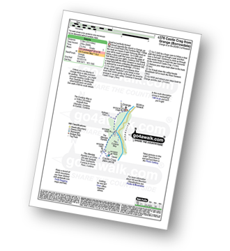
Detailed walk route map PDF
complete with GPS Waypoints
Route Summary:
Grange (Borrowdale) - Borrowdale - The Cumbria Way - Holmcrag Wood - River Derwent - The Allerdale Ramble - Castle Crag - River Derwent - Grange (Borrowdale)

|
Vital Statistics:
| Length: | 8.25 miles (13 km) |
| Ascent: | 1,031 ft (314 m) |
| Time: | 4 hrs |
| Grade: |  |
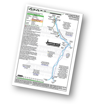
Detailed walk route map PDF
complete with GPS Waypoints
Route Summary:
Rosthwaite - Wainwright's Coast to Coast Walk - Stonethwaite - Stonethwaite Beck - Galleny Force - Langstrath Beck - The Cumbria Way - Greenup Gill - Stonethwaite - Rosthwaite

|
Vital Statistics:
| Length: | 5.5 miles (9 km) |
| Ascent: | 1,384 ft (422 m) |
| Time: | 3½ hrs |
| Grade: | |
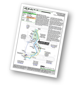
Detailed walk route map PDF
complete with GPS Waypoints
Route Summary:
Seatoller - The Allerdale Ramble - Longthwaite - Rosthwaite - New Bridge - The River Derwent - The Cumbria Way - Castle Crag - Seatoller

|
Vital Statistics:
| Length: | 9.75 miles (15.5 km) |
| Ascent: | 886 ft (270 m) |
| Time: | 4.25 hrs |
| Grade: | |
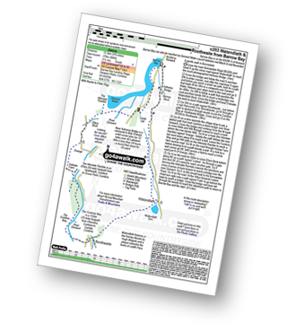
Detailed walk route map PDF
complete with GPS Waypoints
Route Summary:
Barrow Bay - Derwent Water - Ashness Bridge - Surprise View - Watendlath - Bracken Platt - Puddingstone Bank - The Cumbria Way - Rosthwaite - River Derwent - High Hows Wood - Low Hows Wood - Broadslack Gill - Hollows Farm - Borrowdale Gates - Ellers Beck Lodore Falls - Barrow Bay - Derwent Water

|
Vital Statistics:
| Length: | 6 miles (9.5 km) |
| Ascent: | 1,861 ft (567 m) |
| Time: | 4½ hrs |
| Grade: |  |

Detailed walk route map PDF
complete with GPS Waypoints
Route Summary:
Rosthwaite - The Cumbria Way - Lingy End - Willygrass Gill - Dock Tarn - Great Crag - Puddingstone Bank - Jopplety How - Joppletyhow Moss - Grange Fell (Brund Fell) - King's How - Rosthwaite

|
Vital Statistics:
| Length: | 9 miles (14.5 km) |
| Ascent: | 2,780 ft (847 m) |
| Time: | 6 hrs |
| Grade: |  |
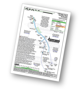
Detailed walk route map PDF
complete with GPS Waypoints
Route Summary:
Rosthwaite - Stonethwaite - Wainwright's Coast to Coast Walk - Stonethwaite Beck - Galleny Force - The Cumbria Way - Langstrath Beck - Eagle Crag - Sergeant's Crag - High Raise (Langdale) - Low White Stones - Greenup Edge - Lining Crag - Greenup Gill - Stonethwaite Beck - Stonethwaite - Rosthwaite

|
Vital Statistics:
| Length: | 8.25 miles (13 km) |
| Ascent: | 2,512 ft (766 m) |
| Time: | 5½ hrs |
| Grade: | |

Detailed walk route map PDF
complete with GPS Waypoints
Route Summary:
Hawes End - Derwent Water - Newlands Valley - Skelgill Bank - Woodford's Path - Cat Bells (Catbells) - Maiden Moor - High Spy (North Top) - High Spy - Dalehead Tarn - Newlands Valley - Newlands Church - Little Town - Hawes End

|
Vital Statistics:
| Length: | 10.25 miles (16.5 km) |
| Ascent: | 3,585 ft (1,093 m) |
| Time: | 7½ hrs |
| Grade: |  |

Detailed walk route map PDF
complete with GPS Waypoints
Route Summary:
Hawes End - Derwent Water - Skelgill Bank - Woodford's Path - Cat Bells (Catbells) - Maiden Moor - High Spy (North Top) - High Spy - Dalehead Tarn - Dale Head (Newlands) - Hindscarth - High Crags - Scope End - Low Snab Farm - Newlands Church - Little Town - Newlands Valley - Hawes End - Derwent Water.

|
Vital Statistics:
| Length: | 11.25 miles (18 km) |
| Ascent: | 3,371 ft (1,027 m) |
| Time: | 7½ hrs |
| Grade: | |

Detailed walk route map PDF
complete with GPS Waypoints
Route Summary:
Rosthwaite - Stonethwaite - Wainwright's Coast to Coast Walk - Stonethwaite Beck - Galleny Force - The Cumbria Way - Langstrath Beck - Eagle Crag - Sergeant's Crag - High Raise (Langdale) - Low White Stones - Greenup Edge - Ullscarf - High Saddle (Coldbarrow Fell) - Low Saddle (Coldbarrow Fell) - Lord's How - Dock Tarn - Willygrass Gill - Great Crag - Rosthwaite

|
Vital Statistics:
| Length: | 10 miles (16 km) |
| Ascent: | 3,349 ft (1,082 m) |
| Time: | 7.25 hrs |
| Grade: | |

Detailed walk route map PDF
complete with GPS Waypoints
Route Summary:
Hawes End - Derwent Water - Skelgill Bank - Woodford's Path - Cat Bells (Catbells) - Maiden Moor - Narrow Moor - High Spy (North Top) - High Spy - Dale Head Tarn - Rigghead Quarries - The Allerdale Ramble - Castle Crag - River Derwent - Yewdale Knott - Manesty - Manesty Band - Hawes End - Derwent Water.

|
Vital Statistics:
| Length: | 12 miles (19 km) |
| Ascent: | 4,152 ft (1,266 m) |
| Time: | 8½ hrs |
| Grade: |  |

Detailed walk route map PDF
complete with GPS Waypoints
Route Summary:
Hawes End - Derwent Water - Skelgill Bank - Woodford's Path - Cat Bells (Catbells) - Maiden Moor - High Spy (North Top) - High Spy - Dale Head Tarn - Dale Head (Newlands) - Hindscarth Edge - Hindscarth - Littledale Edge - Robinson - High Snab Bank - Newlands Church - Little Town - Hawes End - Derwent Water.

|
Vital Statistics:
| Length: | 12.25 miles (19.5 km) |
| Ascent: | 3,781 ft (1,152 m) |
| Time: | 8½ hrs |
| Grade: | |
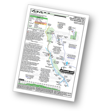
Detailed walk route map PDF
complete with GPS Waypoints
Route Summary:
Rosthwaite - The Cumbria Way - Stonethwaite - Wainwright's Coast to Coast Walk - Stonethwaite Beck - Galleny Force - The Cumbria Way - Langstrath Beck - Eagle Crag - Sergeant's Crag - High Raise (Langdale) - Low White Stones - Greenup Edge - Ullscarf - Low Saddle (Coldbarrow Fell) - Lord's How - Dock Tarn - Great Crag - Puddingstone Bank - Jopplety How - Joppletyhow Moss - Grange Fell (Brund Fell) - King's How - Rosthwaite

|
Vital Statistics:
| Length: | 14.5 miles (23 km) |
| Ascent: | 5,409 ft (1,648 m) |
| Time: | 11 hrs |
| Grade: |  |

Detailed walk route map PDF
complete with GPS Waypoints
Route Summary:
Hawes End - Derwent Water - Skelgill Bank - Woodford's Path - Cat Bells (Catbells) - Maiden Moor - High Spy (North Top) - High Spy - Dalehead Tarn - Dale Head (Newlands) - Hindscarth - Littledale Edge - Robinson - High Snockrigg - Moss Force - Newlands Hause - Knott Rigg - Ard Crags - Birkrigg - Keskerdale Beck - Newlands Church - Newlands Beck - Little Town - Skelgill Farm - Hawes End Derwent Water.