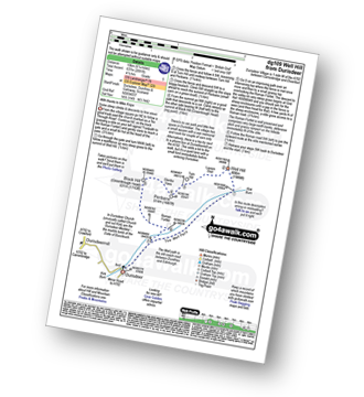
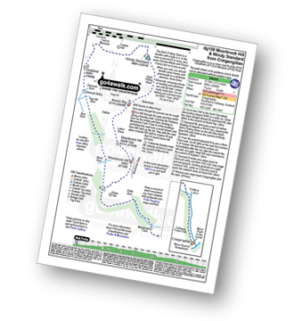
10 easy-to-follow walk route maps of all grades in The Southern Uplands region of Scotland
Ten easy-to-follow walk route maps of all grades in The Southern Uplands region of Scotland in Walk Start Location Order (Z to A)
The Southern Uplands is the area enclosed by an imaginary line connecting:
- Cloch Point to Glasgow via the Firth of Clyde and the River Clyde to the North
- Glasgow to Gretna Green via the River Clyde to Larkhill and then the M74 via Douglas, Moffat and Lockerbie to the North East
- Gretna Green to Mull of Galloway via the Solway Firth to the South
- Mull of Galloway to Cloch Point via the North Chanel past Portpatrick, Ballantrae, Ailsa Craig, Girvan, Ayr and Irvine and then the Firth of Clyde to the East
Tap/mouse over a coloured circle (1-3 easy walks, 4-6 moderate walks, 7-9 hard walks) and click to select.
See this list of walks, routes & maps in:
Grade Order | Length Order | Time Order | Walk Number or Start Location Order
NB. To reverse (toggle) this order, click Start Order again
See this list of walks, routes & maps in:
Grade Order | Length Order | Time Order | Walk Number or Start Location Order
NB. To reverse (toggle) this order, click Start Order again


