Nine easy to follow circular walk route maps from Alstonefield in the The Peak District National Park, Staffordshire, England

   |
Vital Statistics:
| Length: | 5.5 miles (9 km) |
| Ascent: | 426ft (130m) |
| Time: | 2½ hrs |
| Grade: |  |

Route Summary:
Alstonefield - Overdale - Coldeaton Bridge - River Dove - Coldeaton Bridge - Iron Tors - Gipsy Bank - Drabber Tor - Caves - Peasland Tor - Wolfscote Dale - Beresford Dale - Narrow Dale - The Rakes - Alstonefield


|
Vital Statistics:
| Length: | 6.75 miles (11 km) |
| Ascent: | 722ft (220m) |
| Time: | 3 hrs |
| Grade: |  |
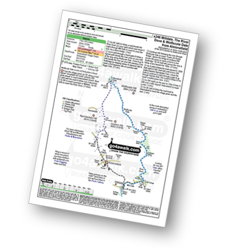
Route Summary:
Alstonefield - Milldale - Mill Dale - Lode Mill Bridge - River Dove - Coldeaton Bridge - Iron Tors - Gipsy Bank - Drabber Tor - Caves - Peasland Tor - Wolfscote Dale - Frank-i-th-Rocks Bridge - Beresford Dale - Narrow Dale - The Rakes - Alstonefield

|
Vital Statistics:
| Length: | 5.5 miles (9 km) |
| Ascent: | 1,615ft (492m) |
| Time: | 3.75hrs |
| Grade: |  |

Route Summary:
Alstonefield - Alstonefield Youth Hostel - Overdale - Gipsy Bank - Wolfescote Dale - Coldeaton Bridge - Mill Dale - Milldale - Dove Dale - Achas Bank - Ilam Rock - Dovedale - Hall Dale - Stanshope - Dale Bottome - Alstonefield.

|
Vital Statistics:
| Length: | 7.25 miles (11.5 km) |
| Ascent: | 1,302ft (397m) |
| Time: | 4 hrs |
| Grade: |  |

Route Summary:
Milldale - River Dove - Alstonefield - Wetton - Wetton Low - Castern Wood Nature Reserve - Damgate Farm - Hall Dale - Dove Dale - Achas Bank - Milldale

|
Vital Statistics:
| Length: | 9.75 miles (15.5 km) |
| Ascent: | 2,146ft (654m) |
| Time: | 5.75hrs |
| Grade: |  |
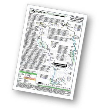
Route Summary:
Ilam - Ilam Country Park - River Manifold - Castern Hall - Castern Wood Nature Reserve - Wetton Low - Wetton - Alstonefield - Milldale - Achas Bank - Raven's Tor - Hall Dale - Dove Dale Wood - Air Cottage - Ilam Tops - Ilamtops Farm - Ilam

|
Vital Statistics:
| Length: | 9.75 miles (15.5 km) |
| Ascent: | 1,910ft (582m) |
| Time: | 5½ hrs |
| Grade: | |
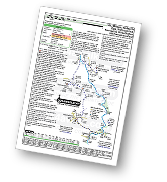
Route Summary:
Alstonefield - Milldale - Mill Dale - Lode Mill Bridge - River Dove - Coldeaton Bridge - Iron Tors - Gipsy Bank - Drabber Tor - Caves - Peasland Tor - Wolfscote Dale - Frank-i-th-Rocks Bridge - Wolfscote Grange - Wolfscote Hill - Beresford Dale - Narrowdale Hill - Narrow Dale - Gratton Hill - The Rakes - Alstonefield

|
Vital Statistics:
| Length: | 11.5 miles (18.5 km) |
| Ascent: | 1,572ft (479m) |
| Time: | 5.75hrs |
| Grade: | |
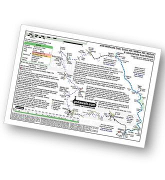
Route Summary:
Milldale - Mill Dale - River Dove - Coldeaton Bridge - Gipsy Bank - Peasland Rocks - Wolfscote Dale - Frank-i-the=Ricks Bridge - Beresford Dale - Barracks Farm - Harecops - Acton Moor - Back of Ecton - Ecton Hill - Cantrell's House - Wetton Hill - Wetton Hill (West Top) - Wetton - Alstonefield - Milldale

|
Vital Statistics:
| Length: | 9.25 miles (15 km) |
| Ascent: | 1,769ft (539m) |
| Time: | 5.25hrs |
| Grade: | |
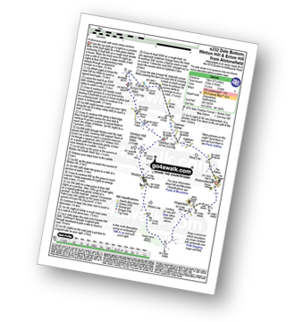
Route Summary:
Alstonefield - Dale Bottom - Hopedale - Castern Wood Nature Reserve - Wetton Low - Wetton - Wetton Hill (West Top) - Wetton Hill - Ecton Hill - Acton Moor - Gateham Grange - Gateham Farm - Steep Low - Alstonefield

|
Vital Statistics:
| Length: | 15 miles (24 km) |
| Ascent: | 2,028ft (618m) |
| Time: | 8 hrs |
| Grade: |  |

Route Summary:
Weag's Bridge - River Manifold - Beeston Tor Farm - River Hamps - Soles Coppice - Old Soles Wood - Hell Hole - Lee House - Farwell Farm - Calton - Carlton Green - Rushley Wood - Musden Wood - Rushley - Ilam Country Park - Ilam - River Dove - Dovedale Castle - Dove Dale - The River Dove - Stepping Stones - Lover's Leap - Tissington Spires - Shaplow Dale,Natural Arch - Raynard's Cave - Upper Taylor's Wood - Dove Holes - Viator's Bridge - Milldale - Alstonefield - Wetton - Thor's Cave - Weag's Bridge