   |
Vital Statistics:
| Length: | 5½mls (9km) |
| Ascent: | 1,615ft (492m) |
| Time: | 3¾hrs |
| Grade: |  |

Route outline for walk s217:
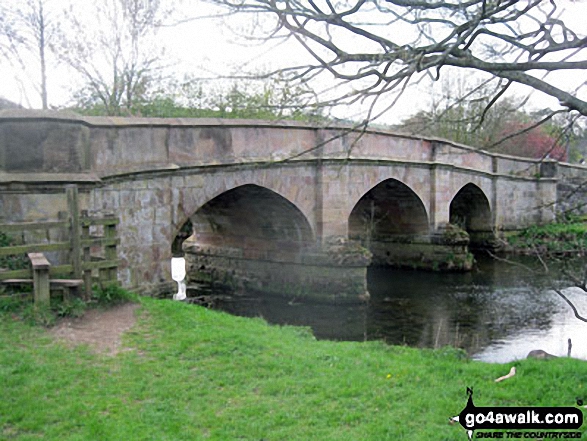
Alstonefield - Alstonefield Youth Hostel - Overdale - Gipsy Bank - Wolfescote Dale - Coldeaton Bridge - Mill Dale - Milldale - Dove Dale - Achas Bank - Ilam Rock - Dovedale - Hall Dale - Stanshope - Dale Bottome - Alstonefield.
You can find this walk and other nearby walks on these unique free-to-access Interactive Walk Planning Maps:
1:25,000 scale OS Explorer Map (orange/yellow covers):
1:50,000 scale OS Landranger Map (pink/magenta covers):
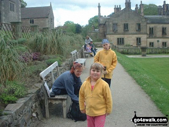
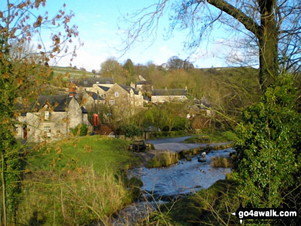
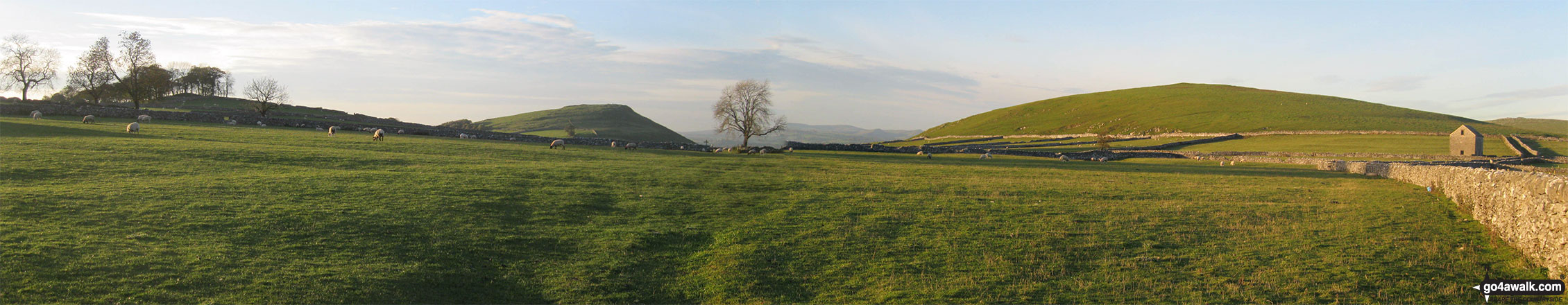
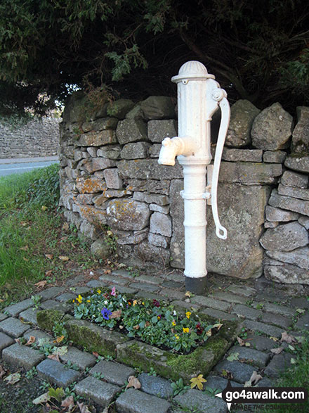
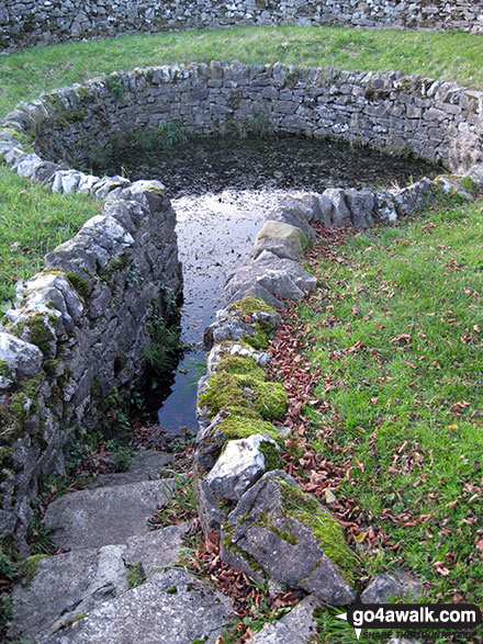
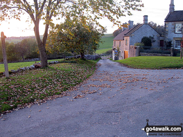
Some Photos and Pictures from Walk s217 Milldale and Dove Dale from Alstonefield
In no particular order . . .


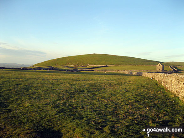


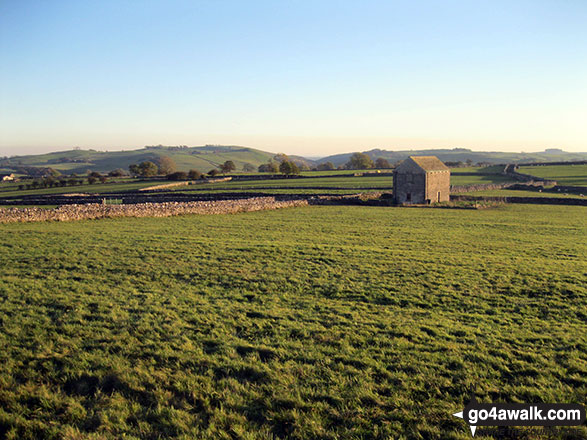

Narrowdale Hill (left) and the shoulder of Gratton Hill (right) from near Alstonefield


Send us your photographs and pictures from your walks and hikes
We would love to see your photographs and pictures from walk s217 Milldale and Dove Dale from Alstonefield. Send them in to us as email attachments (configured for any computer) along with your name and where the picture was taken to:
and we shall do our best to publish them.
(Guide Resolution = 300dpi. At least = 660 pixels (wide) x 440 pixels (high).)

You can also submit photos from walk s217 Milldale and Dove Dale from Alstonefield via our Facebook Page.
NB. Please indicate where each photo was taken.


