Six easy to follow circular walk route maps from the village of Hartington in the White Peak (southern) area of The Peak District National Park, Derbyshire, England

   |
Vital Statistics:
| Length: | 6.25 miles (10 km) |
| Ascent: | 1,224ft (373m) |
| Time: | 3½ hrs |
| Grade: |  |

Route Summary:
Hartington - Crossland Sides - Pennilow - Beresford Dale - Pike Pool - Wolfscote Dale - River Dove - Peasland Rocks - Biggin Dale - Furny Bottom - Dale End - Biggin - Hartington


|
Vital Statistics:
| Length: | 8.25 miles (13 km) |
| Ascent: | 1,430ft (436m) |
| Time: | 4½ hrs |
| Grade: |  |
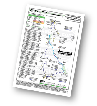
Route Summary:
Hartington - Crossland Sides - Pennilow - Beresford Dale - Pike Pool - How Narrowdale - The Rakes - Alstonefield - Overdale - Gipsy Bank - River Dove - Coldeaton Bridge - Iron Tors - Drabber Tor - Wolfscote Dale - Peasland Rocks - Staden Barn - Hartington

|
Vital Statistics:
| Length: | 6.5 miles (10.5 km) |
| Ascent: | 1,129ft (344m) |
| Time: | 3½ hrs |
| Grade: | |
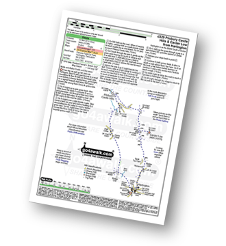
Route Summary:
Hartington - Bridge End - Harris Close - High Close - Upper Dove Dale - Pilsbury - Pilsbury Castle Hills - Carder Low - Bank Top Farm - Madge Dale - Hartington

|
Vital Statistics:
| Length: | 8.75 miles (14 km) |
| Ascent: | 1,473ft (449m) |
| Time: | 4.75hrs |
| Grade: |  |

Route Summary:
Hartington - Crossland Sides - Pennilow - Beresford Dale - Pike Pool - How Narrowdale - The Rakes - Alstonefield - Overdale - Gipsy Bank - River Dove - Coldeaton Bridge - Iron Tors - Drabber Tor - Wolfscote Dale - Peasland Rocks - Biggin Dale - Furny Bottom - Dale End - Biggin - Hartington

|
Vital Statistics:
| Length: | 8.75 miles (14 km) |
| Ascent: | 1,171ft (357m) |
| Time: | 4½ hrs |
| Grade: | |

Route Summary:
Hartington - Gorsecroft - Madge Dale - Bank Top Farm - Carder Low - Vincent House - Darley Farm - The High Peak Trail - Parsley Hay - The Tissington Trail - Hartington Station - Heathcote - Heathcote Mere - Highfield Lane - Hartington

|
Vital Statistics:
| Length: | 13.5 miles (21.5 km) |
| Ascent: | 1,286ft (392m) |
| Time: | 6.25hrs |
| Grade: |  |

Route Summary:
Hartington - Sheen - Brund - Manifold Valley - Longnor - Crowdecote (Crowdicote) - Bridge End Farm - Upper Dove Dale - Pilsbury Castle Hills - Vincent House - Darley Farm - The High Peak Trail - Parlsey Hay - The Tissington Trail - Hartington Station - Heathcote - Heathcote Mere - Highfield Lane - Hartington