Looking up to Thorpe Cloud from Dove Dale
The White Peak Area,
The Peak District National Park,
Staffordshire/Derbyshire, England

See views like this by using any of these 15 easy-to-follow circular walk route maps:

   |
Vital Statistics:
| Length: | 6.25 miles (10 km) |
| Ascent: | 623ft (190m) |
| Time: | 3 hrs |
| Grade: |  |
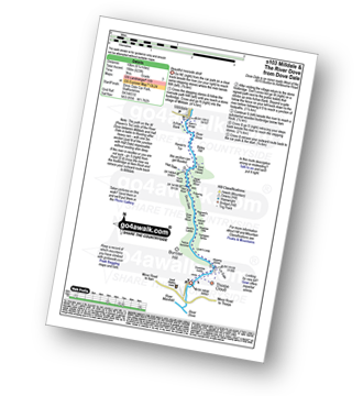
Route Summary:
Dove Dale - The River Dove - Stepping Stones - Lover's Leap - Tissington Spires - Shaplow Dale,Natural Arch - Raynard's Cave - Upper Taylor's Wood - Dove Holes - Viator's Bridge - Milldale - Achas Bank - Hall Dale - Hurt's Wood - Ilam Rock - Jacob's Ladder (Dove Dale) - Dove Dale Wood - Dovedale Castle - Dove Dale


|
Vital Statistics:
| Length: | 6.75 miles (11 km) |
| Ascent: | 623ft (190m) |
| Time: | 3.25hrs |
| Grade: |  |

Route Summary:
Milldale - Dove Dale - Viator's Bridge - River Dove - Dove Holes - Upper Taylor's Wood - Pickering Tor,Raynard's Cave - Natural Arch - Sharplow Dale - Jacob's Ladder (Dove Dale) - Lover's Leap - Twelve Apostles - Dove Dale Castle - Thorpe Cloud - Ilam - Ilamtops Farm - Ilam Tops - Ilam Rock - Hall Dale - Raven's Tor - Achas Bank - Milldale

|
Vital Statistics:
| Length: | 4.75 miles (7.5 km) |
| Ascent: | 754ft (230m) |
| Time: | 2½ hrs |
| Grade: | |
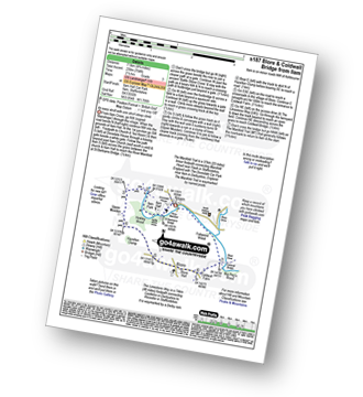
Route Summary:
Ilam - Ilam Country Park - River Manifold - Lower Dove Dale - Upper Musden - Hazelton Clump - Blore - Coldwall Farm - The Limestone Way - Coldwall Bridge - The Manifold Trail - River Dove - Fishpond Wood - River Manifold - Ilam

|
Vital Statistics:
| Length: | 3 miles (5 km) |
| Ascent: | 1,040ft (317m) |
| Time: | 2.25hrs |
| Grade: | |
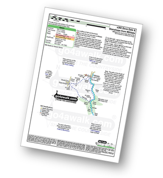
Route Summary:
Milldale - Achas Bank - Dove Dale - The River Dove - Raven's Tor - Hall Dale - Ilam Rock - Hurt's Wood - Stanshope - Church Farm - Milldale

|
Vital Statistics:
| Length: | 9.75 miles (15.5 km) |
| Ascent: | 735ft (224m) |
| Time: | 5.25hrs |
| Grade: |  |
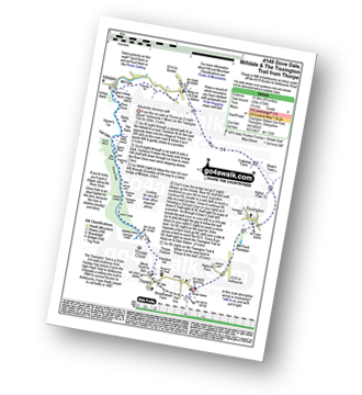
Route Summary:
Thorpe - The Tissington Trail - Lin Dale - Dove Dale - The River Dove - Stepping Stones - Lover's Leap - Tissington Spires - Shaplow Dale - Dove Holes - Milldale - Mill Dale - Alsop en le Dale - The Tissington Trail - Tissington - Thorpe

|
Vital Statistics:
| Length: | 6.5 miles (10.5 km) |
| Ascent: | 1,129ft (344m) |
| Time: | 3½ hrs |
| Grade: | |
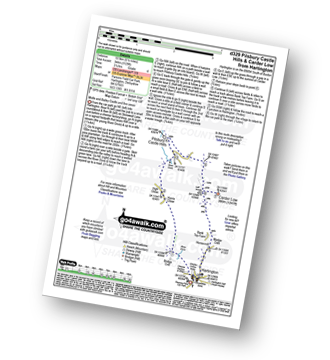
Route Summary:
Hartington - Bridge End - Harris Close - High Close - Upper Dove Dale - Pilsbury - Pilsbury Castle Hills - Carder Low - Bank Top Farm - Madge Dale - Hartington

|
Vital Statistics:
| Length: | 8.25 miles (13 km) |
| Ascent: | 689ft (210m) |
| Time: | 3.75hrs |
| Grade: | |
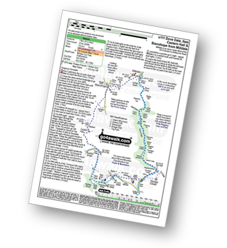
Route Summary:
Milldale - Dove Dale - Viator's Bridge - River Dove - Dove Holes - Upper Taylor's Wood - Pickering Tor,Raynard's Cave - Natural Arch - Sharplow Dale - Jacob's Ladder (Dove Dale) - Lover's Leap - Twelve Apostles - Dove Dale Castle - Thorpe Cloud - Ilam - Ilam Country Park - St Bartram's Bridge - River Manifold - Battle Stone Cross - Ilam Wood - River Lodge - Castern Hall - Castern Farm - Stanshope - Milldale

|
Vital Statistics:
| Length: | 5.5 miles (9 km) |
| Ascent: | 1,615ft (492m) |
| Time: | 3.75hrs |
| Grade: | |

Route Summary:
Alstonefield - Alstonefield Youth Hostel - Overdale - Gipsy Bank - Wolfescote Dale - Coldeaton Bridge - Mill Dale - Milldale - Dove Dale - Achas Bank - Ilam Rock - Dovedale - Hall Dale - Stanshope - Dale Bottome - Alstonefield.

|
Vital Statistics:
| Length: | 10.5 miles (16.5 km) |
| Ascent: | 1,287ft (392m) |
| Time: | 5 hrs |
| Grade: |  |

Route Summary:
Earl Sterndale - Hindlow Quarry - Dowlow Works - The Midshires Way - The High Peak Trail - Pomeroy - Hurdlow - Parsley Hay - Darley Farm - Vincent House - Pilsbury - Pilsbury Castle Hills - Upper Dove Dale - Bridge End Farm - Crowdecote - Meadow Farm - Underhill Farm - Hitter Hill - Earl Sterndale

|
Vital Statistics:
| Length: | 7.25 miles (11.5 km) |
| Ascent: | 1,302ft (397m) |
| Time: | 4 hrs |
| Grade: | |

Route Summary:
Milldale - River Dove - Alstonefield - Wetton - Wetton Low - Castern Wood Nature Reserve - Damgate Farm - Hall Dale - Dove Dale - Achas Bank - Milldale

|
Vital Statistics:
| Length: | 12.25 miles (19.5 km) |
| Ascent: | 1,930ft (588m) |
| Time: | 6½ hrs |
| Grade: |  |

Route Summary:
Mappleton Lane (Ashbourne) - The Tissington Trail - Thorpe - Pike House - Bostern Grange Farm - Hanson Grange - The Nabs - Dove Dale - Dove Holes - Taylors Wood - Pickering Rock - Ilam Rock - Shaplow Dale - Lin Dale - Thorpe Cloud - Thorpe Mill Farm - The Limestone Way - Coldwall Bridge - River Dove - Big Peg's Wood - Little Peg's Wood - Littlepark Farm - Mappleton (aka Mapleton) - Callow Top - Mappleton Lane (Ashbourne)

|
Vital Statistics:
| Length: | 13.5 miles (21.5 km) |
| Ascent: | 1,286ft (392m) |
| Time: | 6.25hrs |
| Grade: | |

Route Summary:
Hartington - Sheen - Brund - Manifold Valley - Longnor - Crowdecote (Crowdicote) - Bridge End Farm - Upper Dove Dale - Pilsbury Castle Hills - Vincent House - Darley Farm - The High Peak Trail - Parlsey Hay - The Tissington Trail - Hartington Station - Heathcote - Heathcote Mere - Highfield Lane - Hartington

|
Vital Statistics:
| Length: | 10.25 miles (16.5 km) |
| Ascent: | 1,453ft (443m) |
| Time: | 5.25hrs |
| Grade: | |

Route Summary:
Monyash - The Limestone Way - Dalehouse Farm - Blackwell Lane - Hutmoor Butts - Hardlow - Sparklow - High Wheeldon - Crowdecote (Crowdicote) - Bridge End Farm - Upper Dove Dale - Pilsbury Castle Hills - Vincent House - Darley Farm - Parsley Hay - Moscar Farm - Monyash

|
Vital Statistics:
| Length: | 9.75 miles (15.5 km) |
| Ascent: | 2,146ft (654m) |
| Time: | 5.75hrs |
| Grade: | |
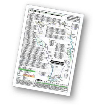
Route Summary:
Ilam - Ilam Country Park - River Manifold - Castern Hall - Castern Wood Nature Reserve - Wetton Low - Wetton - Alstonefield - Milldale - Achas Bank - Raven's Tor - Hall Dale - Dove Dale Wood - Air Cottage - Ilam Tops - Ilamtops Farm - Ilam

|
Vital Statistics:
| Length: | 15 miles (24 km) |
| Ascent: | 2,028ft (618m) |
| Time: | 8 hrs |
| Grade: |  |

Route Summary:
Weag's Bridge - River Manifold - Beeston Tor Farm - River Hamps - Soles Coppice - Old Soles Wood - Hell Hole - Lee House - Farwell Farm - Calton - Carlton Green - Rushley Wood - Musden Wood - Rushley - Ilam Country Park - Ilam - River Dove - Dovedale Castle - Dove Dale - The River Dove - Stepping Stones - Lover's Leap - Tissington Spires - Shaplow Dale,Natural Arch - Raynard's Cave - Upper Taylor's Wood - Dove Holes - Viator's Bridge - Milldale - Alstonefield - Wetton - Thor's Cave - Weag's Bridge
Send us your photographs and pictures of walks and hikes in the British countryside
If you would like to see your digital photographs as part of this collection, please send them as email attachments (configured for any computer) along with your name to:
and we shall do our best to publish them.
(Guide Resolution = 300dpi. At least = 587 pixels (wide) x 440 pixels (high).)

You can also submit photos via our Facebook Page.
NB. Please indicate where each photo was taken.
NB. To see photographs and pictures from a particular walk choose your walk from Walks or use our Walk Search facility.
To see photographs and pictures on, of or from a particular Mountain, Peak, Top or Hill select from Peaks & Mountains' or enter the Mountain, Peak, Top or Hill Name into our 'Photo Search facility.