Walk c247 The Fairfield Horseshoe from Ambleside
This 11 mile, Grade 7 (Hard), easy-to-follow, hand-crafted walk, complete with GPS Waypoints, starts at Ambleside & will take about 7¾ hrs to complete.
   |
Vital Statistics:
| Length: | 11mls (17.5km) |
| Ascent: | 3,633ft (1,107m) |
| Time: | 7¾hrs |
| Grade: |  |

Route outline for walk c247:
Ambleside - Rydal - Nab Scar - Heron Pike - Rydal Fell (Heron Pike North Top) - Great Rigg - Fairfield - Rydal Head - Hart Crag - Dove Crag - High Pike (Scandale) - Low Pike (Scandale) - High Sweden Bridge - High Sweden Coppice - Ambleside


Peaks, Summits and Tops reached on this walk:
 4 English Mountains |
 8 Wainwrights |
 6 English Nuttalls |
 0 English Deweys |
 0 Wainwright Outlying Fells |
 1 Marilyn |
 0 Bridgets |
Peak Bagging Statistics for this walk:
The highest point of this walk is Fairfield at 873m (2865ft). Fairfield is classified as an English Mountain (Hewitt) (15th highest in England, 35th highest in England & Wales) and a Wainwright (No. 13).
Fairfield is also known as an English Nuttall (18th highest in England, 40th highest in England & Wales) and an English Marilyn (7th highest in England, 280th highest in the UK).
Completing this walk will also take you to the top of Hart Crag at 822m (2698ft). Hart Crag is classified as an English Mountain (Hewitt) (34th highest in England, 65th highest in England & Wales) and a Wainwright (No. 27).
Hart Crag is also known as an English Nuttall (40th highest in England, 76th highest in England & Wales).
You will also reach the summit of Dove Crag at 792m (2599ft). Dove Crag is classified as an English Mountain (Hewitt) (47th highest in England, 85th highest in England & Wales) and a Wainwright (No. 38).
Dove Crag is also known as an English Nuttall (56th highest in England, 104th highest in England & Wales).
Along the way you will also bag and tick-off:
- Great Rigg at 766m (2514ft). Great Rigg is classified as an English Mountain (Hewitt) (62nd highest in England, 107th highest in England & Wales), a Wainwright (No. 54) and an English Nuttall (76th highest in England, 131st highest in England & Wales).
- High Pike (Scandale) at 656m (2153ft). High Pike (Scandale) is classified as a Wainwright (No. 109)
- Rydal Fell (Heron Pike North Top) at 621m (2038ft). Rydal Fell (Heron Pike North Top) is known as an English Nuttall (231st highest in England, 402nd highest in England & Wales).
- Heron Pike at 612m (2008ft). Heron Pike is classified as a Wainwright (No. 128) and an English Nuttall (246th highest in England, 430th highest in England & Wales)
- Low Pike (Scandale) at 508m (1667ft). Low Pike (Scandale) is classified as a Wainwright (No. 172)
- Nab Scar at 450m (1477ft). Nab Scar is classified as a Wainwright (No. 190)
You can find this walk and other nearby walks on these unique Interactive Walk Planning Maps:
(worth a look if you're new to go4awalk.com & have never seen one of these before.)
1:25,000 scale OS Explorer Maps (orange/yellow covers):
1:50,000 scale OS Landranger Map (pink/magenta covers):
Some Photos and Pictures from Walk c247 The Fairfield Horseshoe from Ambleside
In no particular order . . .


Steve Taylor and Ian Matthews Golledge looking back over Ambleside & Lake Windermere as we ascended Nab scar and on up to Fairfield
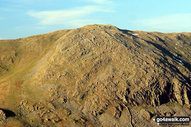
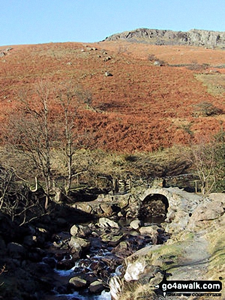


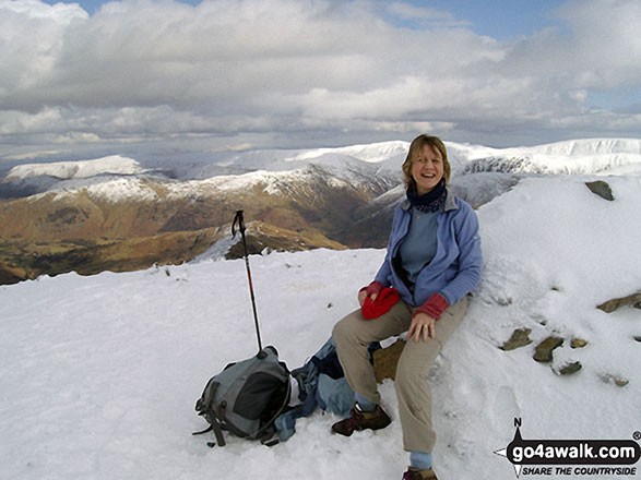
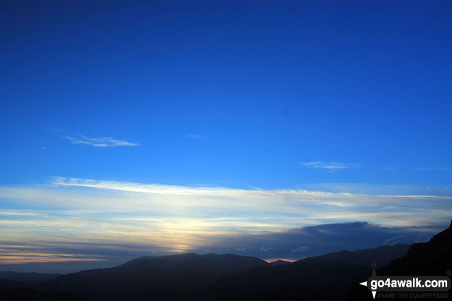
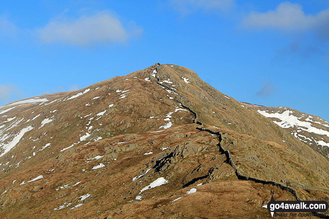
. . . load all 121 walk photos from Walk c247 The Fairfield Horseshoe from Ambleside
Send us your photographs and pictures from your walks and hikes
We would love to see your photographs and pictures from walk c247 The Fairfield Horseshoe from Ambleside. Send them in to us as email attachments (configured for any computer) along with your name and where the picture was taken to:
and we shall do our best to publish them.
(Guide Resolution = 300dpi. At least = 660 pixels (wide) x 440 pixels (high).)

You can also submit photos from walk c247 The Fairfield Horseshoe from Ambleside via our Facebook Page.
NB. Please indicate where each photo was taken.


To contribute to go4awalk.com or to contact us about anything at all - see Talk To Us.
For help see Help.
go4awalk.com and go4awalk.co.uk are registered trademarks of TMDH Limited.
Copyright © 2000-2026 TMDH Limited. All rights reserved.
Copyright Terms & Conditions Privacy Statement
A - Z Walks Home Log On/Accounts Photo Gallery Walk Ideas and Collections Fell Facts Hill Skills Walking Questions and Answers Your Stories News Competitions Product Reviews/Gear Tests Walking Gear Guides Peaks and Mountains Peak Bagging Find New Walking Friends Camping GPS Waypoints for Walking Contents Walk Search Talk To Us go4awalk.com Help Free Example Walks Newsletter