Walk c226 Place Fell from Patterdale
This highly detailed, easy-to-follow, hand-crafted walk, complete with GPS Waypoints, starts at Patterdale, is 8½ miles long and will take about 6hrs. It is a Grade 6 (Moderate) walk.
   |
Vital Statistics:
| Length: | 8½mls (13.5km) |
| Ascent: | 2,552ft (778m) |
| Time: | 6hrs |
| Grade: |  |
Route outline for walk c226:
Patterdale - Rooking - Boredale Hause - Place Fell - High Dodd (Sleet Fell) - Martindale - Sandwick - Long Crag (Ullswater) - Silver Point - Ullswater - Blowick - Rooking - Side Farm - Patterdale
Peaks, Summits and Tops reached on this walk:
 1 English Mountain |
 1 Wainwright |
 1 English Nuttall |
 1 English Dewey |
 0 Wainwright Outlying Fells |
 1 Marilyn |
 0 Bridgets |
Peak Bagging Statistics for this walk:
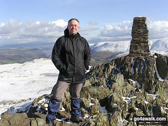
The highest point of this walk is Place Fell at 657m (2156ft). Place Fell is classified as an English Mountain (Hewitt) (137th highest in England, 238th highest in England & Wales) and a Wainwright (No. 108).
Place Fell is also known as an English Nuttall (184th highest in England, 319th highest in England & Wales) and an English Marilyn (44th highest in England, 684th highest in the UK).
The summit of Place Fell is marked by an Ordnance Survey Trig Point.
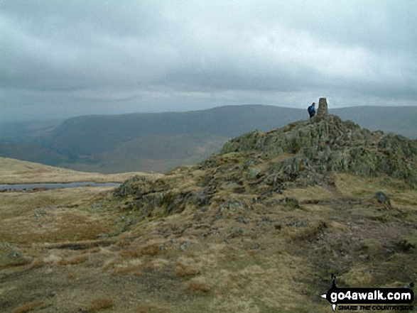
Completing this walk will also take you to the top of High Dodd (Sleet Fell) at 501m (1644ft). High Dodd (Sleet Fell) is also known as an English Dewey (177th highest in England, 416th in England & Wales)
You can find this walk and other nearby walks on these unique Interactive Walk Planning Maps:
(worth a look if you're new to go4awalk.com & have never seen one of these before.)
1:25,000 scale OS Explorer Map (orange/yellow covers):
1:50,000 scale OS Landranger Map (pink/magenta covers):
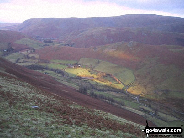
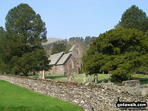
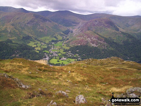
Some Photos and Pictures from Walk c226 Place Fell from Patterdale
In no particular order . . .
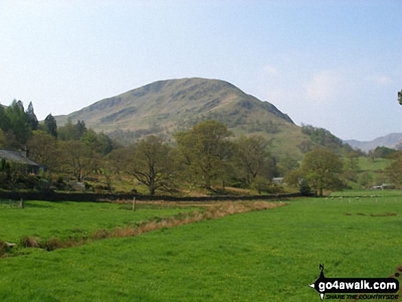

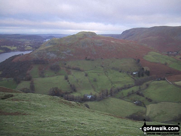
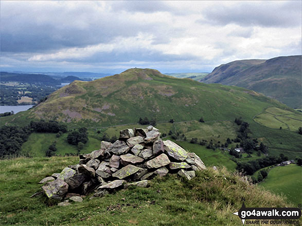
Hallin Fell from a viewpoint on the descent from High Dodd (Sleet Fell)

. . . load all 42 walk photos from Walk c226 Place Fell from Patterdale
Send us your photographs and pictures from your walks and hikes
We would love to see your photographs and pictures from walk c226 Place Fell from Patterdale. Send them in to us as email attachments (configured for any computer) along with your name and where the picture was taken to:
and we shall do our best to publish them.
(Guide Resolution = 300dpi. At least = 660 pixels (wide) x 440 pixels (high).)

You can also submit photos from walk c226 Place Fell from Patterdale via our Facebook Page.
NB. Please indicate where each photo was taken.
To contribute to go4awalk.com or to contact us about anything at all - see Talk To Us.
For help see Help.
go4awalk.com and go4awalk.co.uk are registered trademarks of TMDH Limited.
Copyright © 2000-2026 TMDH Limited. All rights reserved.
Copyright Terms & Conditions Privacy Statement
A - Z Walks Home Log On/Accounts Photo Gallery Walk Ideas and Collections Fell Facts Hill Skills Walking Questions and Answers Your Stories News Competitions Product Reviews/Gear Tests Walking Gear Guides Peaks and Mountains Peak Bagging Find New Walking Friends Camping GPS Waypoints for Walking Contents Walk Search Talk To Us go4awalk.com Help Free Example Walks Newsletter


