Walk c176 Clough Head and Great Dodd from Dockray
This 8¼ mile, Grade 6 (Moderate), easy-to-follow, hand-crafted walk, complete with GPS Waypoints, starts at Red Moss Nr Dockray & will take about 5 hrs to complete.
   |
Vital Statistics:
| Length: | 8¼mls (13km) |
| Ascent: | 2,011ft (613m) |
| Time: | 5hrs |
| Grade: |  |

Route outline for walk c176:
Red Moss Nr Dockray - Barbary Rigg - Matterdale Common - Mariel Bridge - White Pike (Clough Head) - Clough Head - Calfhow Pike - Little Dodd (St John's Common) - Great Dodd - Randerside - Bruts Moss - Wolf Crags - Red Moss.
Peaks, Summits and Tops reached on this walk:
 2 English Mountains |
 2 Wainwrights |
 2 English Nuttalls |
 0 English Deweys |
 0 Wainwright Outlying Fells |
 0 Marilyns |
 2 Bridgets |
Peak Bagging Statistics for this walk:
The highest point of this walk is Great Dodd at 857m (2813ft). Great Dodd is classified as an English Mountain (Hewitt) (22nd highest in England, 45th highest in England & Wales) and a Wainwright (No. 19).
Great Dodd is also known as an English Nuttall (26th highest in England, 52nd highest in England & Wales).
Completing this walk will also take you to the top of Clough Head at 726m (2383ft). Clough Head is classified as an English Mountain (Hewitt) (82nd highest in England, 141st highest in England & Wales) and a Wainwright (No. 75).
Clough Head is also known as an English Nuttall (103rd highest in England, 175th highest in England & Wales). The summit of Clough Head is marked by an Ordnance Survey Trig Point.
You will also reach the summit of Randerside at 722m (2370ft). Randerside is known as an English Bridget.
Along the way you will also bag and tick-off:
- Calfhow Pike at 650m (2133ft). Calfhow Pike is known as an English Bridget.
You can find this walk and other nearby walks on these unique Interactive Walk Planning Maps:
(worth a look if you're new to go4awalk.com & have never seen one of these before.)
1:25,000 scale OS Explorer Map (orange/yellow covers):
1:50,000 scale OS Landranger Map (pink/magenta covers):
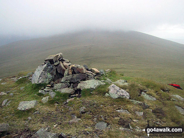
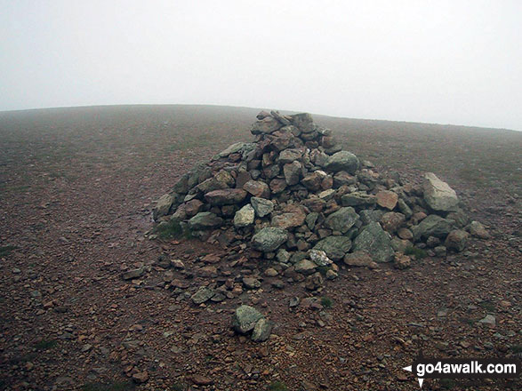
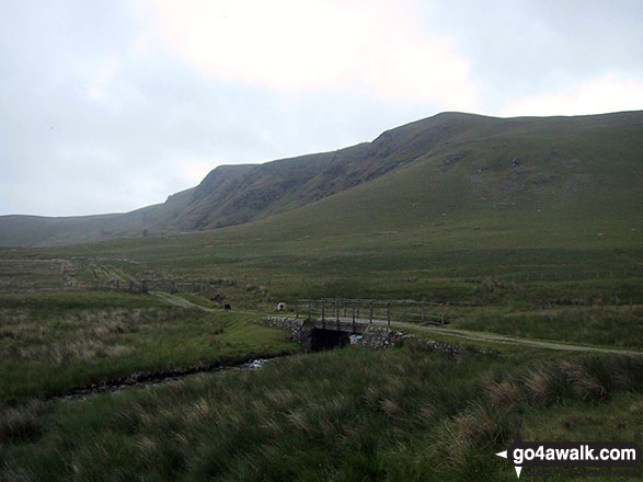
Some Photos and Pictures from Walk c176 Clough Head and Great Dodd from Dockray
In no particular order . . .
Bowscale Fell, Carrock Fell and Souther Fell from the old coach road nr Barbary Rigg

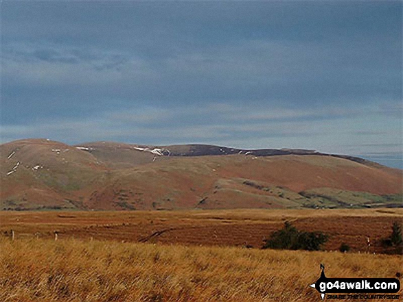
The Dodds from Mariel Bridge on The old Coach Road across Matterdale Common


Whiteless Pike, Wandhope, Eel Crag, Hobcarton Pike and Grizedale Pike - with Causey Pike, Barrow (Newlands) and Derwent Water in the foreground from Clough Head
. . . load all 20 walk photos from Walk c176 Clough Head and Great Dodd from Dockray
Send us your photographs and pictures from your walks and hikes
We would love to see your photographs and pictures from walk c176 Clough Head and Great Dodd from Dockray. Send them in to us as email attachments (configured for any computer) along with your name and where the picture was taken to:
and we shall do our best to publish them.
(Guide Resolution = 300dpi. At least = 660 pixels (wide) x 440 pixels (high).)

You can also submit photos from walk c176 Clough Head and Great Dodd from Dockray via our Facebook Page.
NB. Please indicate where each photo was taken.
To contribute to go4awalk.com or to contact us about anything at all - see Talk To Us.
For help see Help.
go4awalk.com and go4awalk.co.uk are registered trademarks of TMDH Limited.
Copyright © 2000-2026 TMDH Limited. All rights reserved.
Copyright Terms & Conditions Privacy Statement
A - Z Walks Home Log On/Accounts Photo Gallery Walk Ideas and Collections Fell Facts Hill Skills Walking Questions and Answers Your Stories News Competitions Product Reviews/Gear Tests Walking Gear Guides Peaks and Mountains Peak Bagging Find New Walking Friends Camping GPS Waypoints for Walking Contents Walk Search Talk To Us go4awalk.com Help Free Example Walks Newsletter


