Walk c106 Carrock Fell, High Pike (Caldbeck), Hare Stones, Great Lingy Hill and Miller Moss from Stone Ends Farm
This 9½ mile, Grade 6 (Moderate), easy-to-follow, hand-crafted walk, complete with GPS Waypoints, starts at Stone Ends Farm & will take about 5½ hrs to complete.
   |
Vital Statistics:
| Length: | 9½mls (15km) |
| Ascent: | 2,140ft (652m) |
| Time: | 5½hrs |
| Grade: |  |
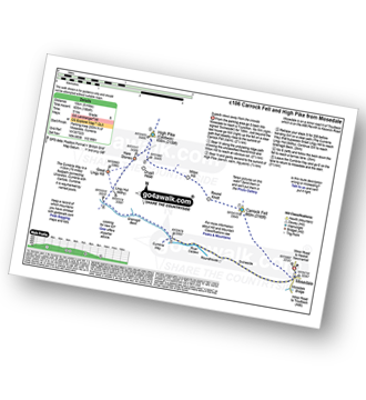
Route outline for walk c106:
Stone Ends Farm - Apronful of Stones - Rake Trod - Further Gill Sike - Scurth - The Trough - Carrock Fell - Round Knott (Caldbeck) - Miton Hill (Caldbeck) - Red Gate (Track) - High Pike (Caldbeck) - Hare Stones - Great Lingy Hill - Miller Moss - Lingy Hut - Grainsgill Beck - The Cumbria Way - River Caldew - Swineside - Mosedale (Mungrisdale) - Stone Ends Farm
Peaks, Summits and Tops reached on this walk:
 2 English Mountains |
 2 Wainwrights |
 5 English Nuttalls |
 0 English Deweys |
 0 Wainwright Outlying Fells |
 0 Marilyns |
 0 Bridgets |
Peak Bagging Statistics for this walk:
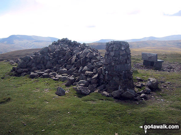
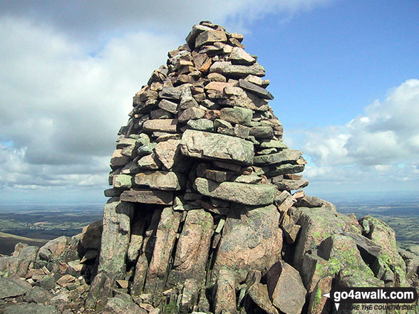
The highest point of this walk is Carrock Fell at 662m (2173ft). Carrock Fell is classified as an English Mountain (Hewitt) (133rd highest in England, 228th highest in England & Wales) and a Wainwright (No. 106).
Carrock Fell is also known as an English Nuttall (179th highest in England, 304th highest in England & Wales). The summit of Carrock Fell is marked by an Ordnance Survey Trig Point.
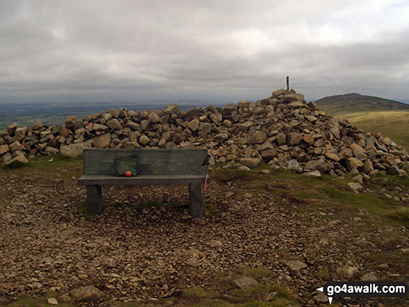
Completing this walk will also take you to the top of High Pike (Caldbeck) at 658m (2160ft). High Pike (Caldbeck) is classified as an English Mountain (Hewitt) (136th highest in England, 236th highest in England & Wales) and a Wainwright (No. 107).
High Pike (Caldbeck) is also known as an English Nuttall (182nd highest in England, 315th highest in England & Wales). The summit of High Pike (Caldbeck) is marked by an Ordnance Survey Trig Point.
You will also reach the summit of Hare Stones at 627m (2057ft). Hare Stones is also known as an English Nuttall (221st highest in England, 384th highest in England & Wales). The summit of Hare Stones is marked by a small cairn.
Along the way you will also bag and tick-off:
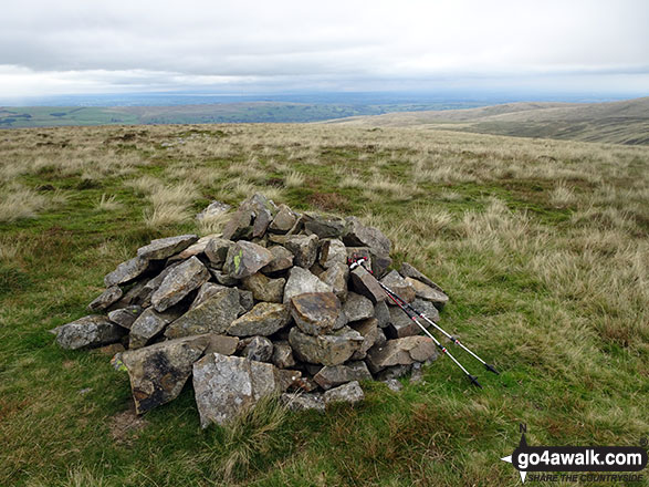
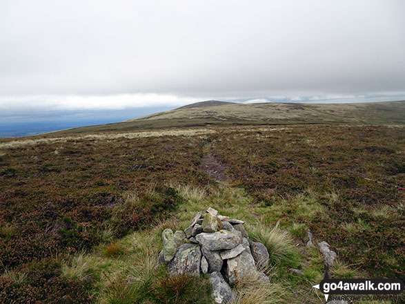
- Great Lingy Hill at 616m (2022ft). Great Lingy Hill is known as an English Nuttall (240th highest in England, 416th highest in England & Wales).
- Miller Moss at 610m (2001ft). Miller Moss is known as an English Nuttall (252nd highest in England, 440th highest in England & Wales). The summit of Miller Moss is marked by a cairn.. Miller Moss was declared a 'Nuttall' in August, 2018
National Trails & Long Paths included on this walk:
Part of this walk follows a section of The Cumbria Way, a 112km (70 miles) linear footpath connecting Ulverston in Cumbria, England with Carlisle in Cumbria, England. The Cumbria Way is waymarked by named posts. For more walks that include a section of this trail see The Cumbria Way.
You can find this walk and other nearby walks on these unique Interactive Walk Planning Maps:
(worth a look if you're new to go4awalk.com & have never seen one of these before.)
1:25,000 scale OS Explorer Map (orange/yellow covers):
1:50,000 scale OS Landranger Map (pink/magenta covers):
Some Photos and Pictures from Walk c106 Carrock Fell, High Pike (Caldbeck), Hare Stones, Great Lingy Hill and Miller Moss from Stone Ends Farm
In no particular order . . .


Send us your photographs and pictures from your walks and hikes
We would love to see your photographs and pictures from walk c106 Carrock Fell, High Pike (Caldbeck), Hare Stones, Great Lingy Hill and Miller Moss from Stone Ends Farm. Send them in to us as email attachments (configured for any computer) along with your name and where the picture was taken to:
and we shall do our best to publish them.
(Guide Resolution = 300dpi. At least = 660 pixels (wide) x 440 pixels (high).)

You can also submit photos from walk c106 Carrock Fell, High Pike (Caldbeck), Hare Stones, Great Lingy Hill and Miller Moss from Stone Ends Farm via our Facebook Page.
NB. Please indicate where each photo was taken.

To contribute to go4awalk.com or to contact us about anything at all - see Talk To Us.
For help see Help.
go4awalk.com and go4awalk.co.uk are registered trademarks of TMDH Limited.
Copyright © 2000-2026 TMDH Limited. All rights reserved.
Copyright Terms & Conditions Privacy Statement
A - Z Walks Home Log On/Accounts Photo Gallery Walk Ideas and Collections Fell Facts Hill Skills Walking Questions and Answers Your Stories News Competitions Product Reviews/Gear Tests Walking Gear Guides Peaks and Mountains Peak Bagging Find New Walking Friends Camping GPS Waypoints for Walking Contents Walk Search Talk To Us go4awalk.com Help Free Example Walks Newsletter


