UK Postcode TN18 - The 30 nearest easy-to-follow, circular walk route maps to you
The thirty nearest easy-to-follow, circular walk route maps to you in UK Postcode TN18 in Walk Grade Order
The UK cities, towns and villages in Kent, England that have TN18 in their UK Postcode include:
• Four Throws • Gill's Green • Hawkhurst • High Street • Linkhill • Newenden • Sandhurst • The Moor •
Not familiar with the area around TN18?
See these 30 nearest walks to UK Postcode TN18 on a google map

   |
Vital Statistics:
| Length: | 3.75 miles (6 km) |
| Ascent: | 792ft (241m) |
| Time: | 2.25hrs |
| Grade: |  |

Route Summary:
Fairlight - Coastguard Cottages - The Saxon Shore Way - Sarsen Stone - Fairlight Place - The 1066 Country Walk - Fairlight Down (North's Seat) - Fairlight


|
Vital Statistics:
| Length: | 4.75 miles (7.5 km) |
| Ascent: | 92ft (28m) |
| Time: | 2 hrs |
| Grade: |  |
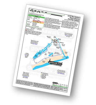
Route Summary:
Rye Harbour - River Rother - Rye Harbour Nature Reserve - Guy Crittall Hide - Turnery Pool - Mary Stanford Lifeboat House - Nook Beach - Watch House - Rye Harbour

|
Vital Statistics:
| Length: | 7 miles (11 km) |
| Ascent: | 505ft (154m) |
| Time: | 3 hrs |
| Grade: | |
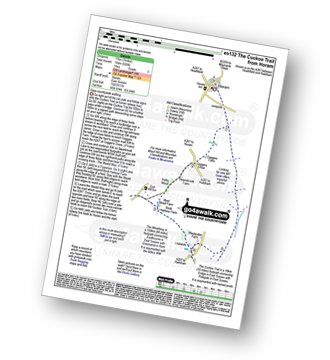
Route Summary:
Horam - The Cuckoo Trail - Coggers Farm - Cogger's Cross - Pickly Wood - Gun Hill - The Wealdway - Lealands - The Cuckoo Trail - Horam

|
Vital Statistics:
| Length: | 4.5 miles (7 km) |
| Ascent: | 453ft (138m) |
| Time: | 2 hrs |
| Grade: |  |


|
Vital Statistics:
| Length: | 2.75 miles (4.5 km) |
| Ascent: | 154ft (47m) |
| Time: | 1.25hrs |
| Grade: | |
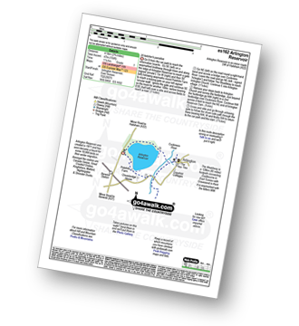
Route Summary:
Arlington Reservoir - Polehills Farm - The Wealdway - Arlington - Cuckmere River - Arlington Reservoir

|
Vital Statistics:
| Length: | 7.25 miles (11.5 km) |
| Ascent: | 1,109ft (338m) |
| Time: | 3.75hrs |
| Grade: |  |

Route Summary:
Wilmington - The Wealdway - The Long Man of Wilmington - The South Downs Way - Lullington Church - Litlington - Litlington Heath - Jevington Holt - Wilmington Hill - The Wealdway - The Holt - Wilmington

|
Vital Statistics:
| Length: | 8.5 miles (13.5 km) |
| Ascent: | 1,388ft (423m) |
| Time: | 4½ hrs |
| Grade: |  |
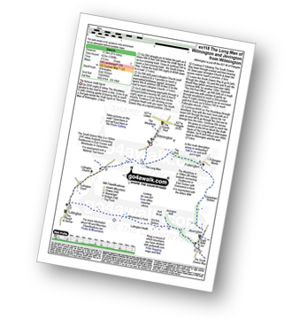
Route Summary:
Wilmington - The Wealdway - The Long Man of Wilmington - The South Downs Way - Lullington Church - Litlington - Litlington Heath - Jevington - The Wealdway - Cranedown Bottom - Folkington - The Holt - Wilmington

|
Vital Statistics:
| Length: | 6.75 miles (10.5 km) |
| Ascent: | 952ft (290m) |
| Time: | 3.25hrs |
| Grade: | |
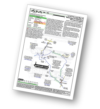
Route Summary:
Jevington - The Wealdway - Cranedown Bottom - Folkington - The Holt - The Long Man of Wilmington - The South Downs Way - Wilmington Hill - Tenantry Ground - Jevington Holt - Jevington

|
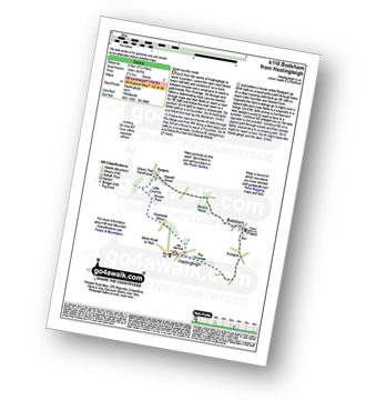
Vital Statistics:
| Length: | 5.25 miles (8.5 km) |
| Ascent: | 407ft (124m) |
| Time: | 2.25hrs |
| Grade: | |

|
Vital Statistics:
| Length: | 9.75 miles (15.5 km) |
| Ascent: | 1,122ft (342m) |
| Time: | 4.75hrs |
| Grade: | |
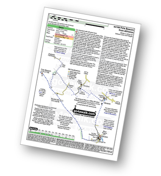
Route Summary:
Alfriston - The South Downs Way - Bostal Hill - Firle Beacon - Tilton Farm - Charleston Farmhouse - Upper Barn - Bopeep Farm - Alciston - Berwick - The Vanguard Way - Alfriston

|
Vital Statistics:
| Length: | 6.25 miles (10 km) |
| Ascent: | 1,152ft (351m) |
| Time: | 3½ hrs |
| Grade: | |

Route Summary:
East Dean Hill Car Park - East Dean Hill - The South Downs Way - Beachy Head - Belle Tout - Hod Combe - Birling Gap - Wigden's Bottom - East Hale Bottom - Crapham Bottom - East Dean Hill.

|
Vital Statistics:
| Length: | 9.5 miles (15 km) |
| Ascent: | 1,306ft (398m) |
| Time: | 4.75hrs |
| Grade: | |
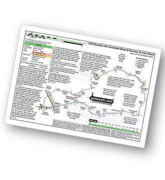
Route Summary:
Otford - The North Downs Way - Otford Mount - Hillydeal Wood - Rowdow Hill - Rowdow Wood - Shorehill Farm - Otford Manor - Fab's Wood - Cotman's Ash - Summeryards Wood - Knockmill Wood - Highfield Piggery - Little East Hill Farm - Broom Wood - Romney Street - Courtfield Wood - Eastdown - Great Wood - Paine's Farm - Greenhill Wood - Otford

|
Vital Statistics:
| Length: | 8.25 miles (13 km) |
| Ascent: | 1,594ft (486m) |
| Time: | 4½ hrs |
| Grade: | |

Route Summary:
East Dean - The South Downs Way - The Seven Sisters - Went Hill - Michel Dean - Bailey's Hill - Flathill Bottom - Flat Hill - Flagstaff Bottom - Flagstaff Brow - Gap Bottom - Brass Point - Rough Bottom - Rough Brow - Limekiln Bottom - Short Brow - Short Bottom - Haven Brow - Cliff End - Exceat - Westdean - Begger's Croft - Friston Forest - Middle Brow - Friston Hill - Friston Place - East Dean

|
Vital Statistics:
| Length: | 7.75 miles (12.5 km) |
| Ascent: | 1,466ft (447m) |
| Time: | 4½ hrs |
| Grade: | |

Route Summary:
East Dean - Ringwood Bottom - East Dean Hill - Warren Hill - Crapham Bottom - East Hale Bottom - Wigden's Bottom - Hod Combe - Belle Tout Lighthouse - Birling Gap - Went Hill - East Dean

|
Vital Statistics:
| Length: | 8.5 miles (13.5 km) |
| Ascent: | 2,045ft (623m) |
| Time: | 5.25hrs |
| Grade: |  |

Route Summary:
East Dean - Ringwood Bottom - East Dean Hill - The South Downs Way - Beachy Head - Belle Tout - Birling Gap - Went Hill - East Dean
Not familiar with the area around TN18?
See these 30 nearest walks to UK Postcode TN18 on a google map

|
Vital Statistics:
| Length: | 14.5 miles (23 km) |
| Ascent: | 3,177ft (968m) |
| Time: | 8½ hrs |
| Grade: |  |

Route Summary:
East Dean - Ringwood Bottom - East Dean Hill - The South Downs Way - Beachy Head - Belle Tout - Birling Gap - The Seven Sisters - Went Hill - Michel Dean - Bailey's Hill - Flathill Bottom - Flat Hill - Flagstaff Bottom - Flagstaff Brow - Gap Bottom - Brass Point - Rough Bottom - Rough Brow - Limekiln Bottom - Short Brow - Short Bottom - Haven Brow - Cliff End - Exceat - Westdean - Begger's Croft - Friston Forest - Middle Brow - Friston Hill - Friston Place - East Dean

|
Vital Statistics:
| Length: | 7.25 miles (11.5 km) |
| Ascent: | 840ft (256m) |
| Time: | 3½ hrs |
| Grade: | |
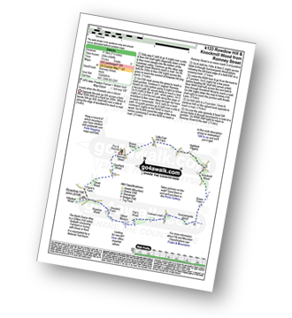
Route Summary:
Romney Street - Courtfield Wood - Eastdown - Great Wood - Paine's Farm - Rowdon Hill - The North Downs Way - Rowdow Wood - Shorehill Farm - Otford Manor - Fab's Wood - Cotman's Ash - Summeryards Wood - Knockmill Wood - Highfield Piggery - Little East Hill Farm - Broom Wood - Romney Street

|
Vital Statistics:
| Length: | 6 miles (9.5 km) |
| Ascent: | 729ft (222m) |
| Time: | 3 hrs |
| Grade: | |

Route Summary:
Westdean - The South Down Way - Cliff End - Cuckmere Haven - Exceat Bridge - Cuckmere River - Charlston Manor - Westdean

|
Vital Statistics:
| Length: | 6.25 miles (10 km) |
| Ascent: | 141ft (43m) |
| Time: | 2½ hrs |
| Grade: | |
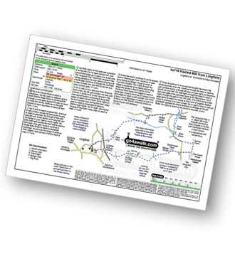
Route Summary:
Lingfield - Park Farm - Puttenden Manor - Haxted Watermill - River Eden - Eden Brook - Cernes Farm - Starborough Castle - St Piers School - Lingfield Railway Station - Lingfield

|
Vital Statistics:
| Length: | 6.75 miles (11 km) |
| Ascent: | 243ft (74m) |
| Time: | 2½ hrs |
| Grade: | |
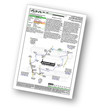
Route Summary:
Blindley Heath - Ardenrun Farm - Crowhurst Place - Crowhurst - Ashen Plantations - Gays Cottages - Comforts Place Farm - Oak Tree Farm - Blindley Heath

|
Vital Statistics:
| Length: | 6.5 miles (9.5 km) |
| Ascent: | 689ft (210m) |
| Time: | 2.75hrs |
| Grade: | |

Route Summary:
Oxted - The Greensand Way - Limpsfield - The North Downs Way - Tandridge Hill - Townland Pool - Oxted Mill - The Greensand Way - Oxted

|
Vital Statistics:
| Length: | 5.5 miles (9 km) |
| Ascent: | 804ft (245m) |
| Time: | 2.75hrs |
| Grade: | |
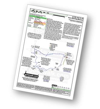
Route Summary:
Ditchling Beacon Car Park - Ditchling Beacon - Heathy Brpw - Borth Bottom - Lower Standean Farm - New Barn Farm - Clayton Windmills - Jill Windmill - Jack Windmill - The South Downs Way - Ditchling Beacon.

|
Vital Statistics:
| Length: | 7.5 miles (12 km) |
| Ascent: | 417ft (127m) |
| Time: | 3.25hrs |
| Grade: | |
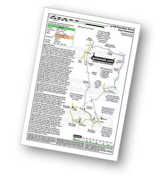
Route Summary:
Outwood - Windmill - Outwood Common - Shepheard's Hurst - Burstow Farm - Henshaw Farm - Laundry Cottage - Cuckseys Farm - Poundhill Wood - Outwood Swan Sanctuary - Outwood

|
Vital Statistics:
| Length: | 4 miles (6.5 km) |
| Ascent: | 420ft (128m) |
| Time: | 2 hrs |
| Grade: | |
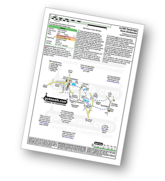
Route Summary:
Godstone - Glebe Water - Church Town - Leigh Place - Oakpark Wood - Tandridge - The Greensand Way - Enterdent - Tilburstowhill Common - Godstone

|
Vital Statistics:
| Length: | 7.25 miles (11.5 km) |
| Ascent: | 752ft (229m) |
| Time: | 3½ hrs |
| Grade: | |
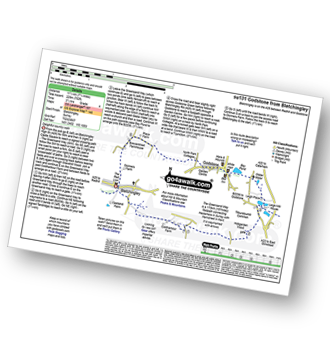
Route Summary:
Bletchingley - The Greensand Way - Coldharbour Farm - Hobgarden Wood - Leigh Place - Glebe Water - Bay Pond - Godstone - Brewer Street - Bletchingley

|
Vital Statistics:
| Length: | 4.75 miles (7.5 km) |
| Ascent: | 466ft (142m) |
| Time: | 2.25hrs |
| Grade: | |
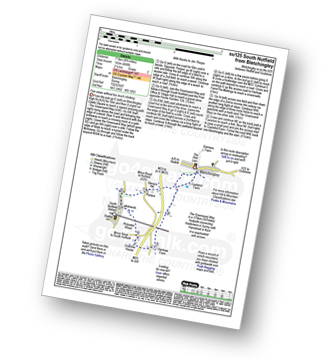
Route Summary:
Bletchingley - The Greensand Way - Steners Hill - South Nutfield - Crabtree House - Henhaw Farm - Castlehill Farm - Bletchingley

|
Vital Statistics:
| Length: | 9 miles (14.5 km) |
| Ascent: | 1,594ft (486m) |
| Time: | 5 hrs |
| Grade: | |
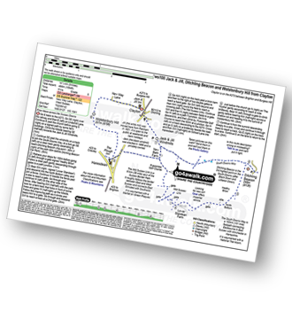
Route Summary:
Clayton - Clayton Windmills - Jill Windmill - Jack Windmill - The South Downs Way - Ditchling Beacon - Heathy Brow - North Bottom - Lower Standean Farm - New Barn Farm - The South Downs Way - Haresdean - Wolstonbury Hill - Clayton

|
Vital Statistics:
| Length: | 4.5 miles (7 km) |
| Ascent: | 754ft (230m) |
| Time: | 2½ hrs |
| Grade: | |

Route Summary:
Clayton - Clayton Windmills - Jill Windmill - Jack Windmill - The South Downs Way - New Barn Farm - Haresdean - Wolstonbury Hill - Clayton

|
Vital Statistics:
| Length: | 4 miles (6.5 km) |
| Ascent: | 328ft (100m) |
| Time: | 2 hrs |
| Grade: | |
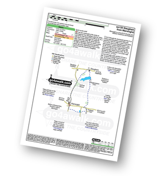
Route Summary:
Warninglid - Old Park House - Slaugham - Slaughamplace Farm - Colwood - Portways Farm - Warninglid

|
Vital Statistics:
| Length: | 4.5 miles (7 km) |
| Ascent: | 236ft (72m) |
| Time: | 2 hrs |
| Grade: | |
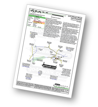
Route Summary:
Charlwood - The Sussex Border Path - Barfield Farm - Greenings Farm - Glover's Wood Nature Reserve - Charlwood
Not familiar with the area around TN18?
See these 30 nearest walks to UK Postcode TN18 on a google map