   |
Vital Statistics:
| Length: | 4½mls (7km) |
| Ascent: | 453ft (138m) |
| Time: | 2hrs |
| Grade: |  |

Route outline for walk k156:
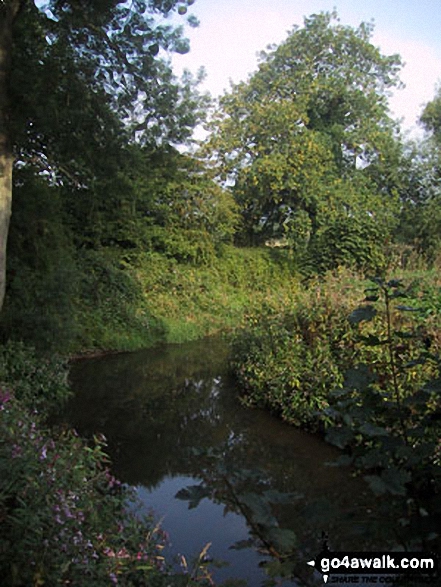
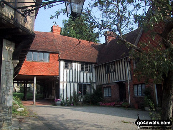
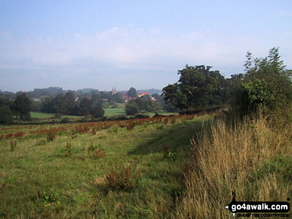
Penshurst - River Eden - Smarts Hill - River Medway - Penshurst
Free-to-access Interactive Walk Planning Maps:
1:25,000 scale OS Explorer Map (orange/yellow covers):
An Interactive Walk Planning Map for OS Explorer 147 Sevenoaks & Tonbridge is not currently available
1:50,000 scale OS Landranger Map (pink/magenta covers):
An Interactive Walk Planning Map for OS Landranger 188 Maidstone & The Weald is not currently available
Some Photos and Pictures from Walk k156 Smarts Hill from Penshurst
In no particular order . . .


Send us your photographs and pictures from your walks and hikes
We would love to see your photographs and pictures from walk k156 Smarts Hill from Penshurst. Send them in to us as email attachments (configured for any computer) along with your name and where the picture was taken to:
and we shall do our best to publish them.
(Guide Resolution = 300dpi. At least = 660 pixels (wide) x 440 pixels (high).)

You can also submit photos from walk k156 Smarts Hill from Penshurst via our Facebook Page.
NB. Please indicate where each photo was taken.


