UK Postcode SK13 - The 30 nearest easy-to-follow, circular walk route maps to you
The thirty nearest easy-to-follow, circular walk route maps to you in UK Postcode SK13 in Walk Grade Order
The UK cities, towns and villages in Derbyshire, England that have SK13 in their UK Postcode include:
• Chunal • Glossop • Old Glossop •
Not familiar with the area around SK13?
See these 30 nearest walks to UK Postcode SK13 on a google map

   |
Vital Statistics:
| Length: | 7.25 miles (11.5 km) |
| Ascent: | 1,526ft (465m) |
| Time: | 4.25hrs |
| Grade: |  |

Route Summary:
Old Glossop - Shittern Clough - Lightside - Yellow Slacks - Dowstone Clough - Dog Rock - Higher Shelf Stones - James's Thorn - Doctors Gate Path - Shelf Brook - Moss Lea Farm - Old Glossop


|
Vital Statistics:
| Length: | 9 miles (14.5 km) |
| Ascent: | 1,850ft (564m) |
| Time: | 5.25hrs |
| Grade: |  |

Route Summary:
Old Glossop - Shittern Clough - Lightside - Yellow Slacks - Dog Rock - Dowstone Clough - Yellowslacks Brook - The Wain Stones (or Kissing Stones) - Bleaklow Head (Bleaklow Hill) - Higher Shelf Stones - Crooked Clough - The Pennine Way - Old Woman - Doctor's Gate Path - Shelf Brook - Moss Lea Farm - Old Glossop

|
Vital Statistics:
| Length: | 3.75 miles (6 km) |
| Ascent: | 820ft (250m) |
| Time: | 2.25hrs |
| Grade: |  |
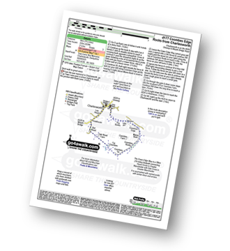
Route Summary:
Charlesworth - The Banks - The Cown Edge Way - Coombes Edge - Coombes Rocks - Coombes Tor - Far Coombes - Oak Wood Farm - Bot Wood - Holehouse - Charlesworth

|
Vital Statistics:
| Length: | 12.5 miles (20 km) |
| Ascent: | 2,143ft (653m) |
| Time: | 6.75hrs |
| Grade: |  |
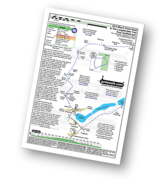
Route Summary:
Hadfield - The Longdenden Trail - Tintwistle - Arnfield Gamekeepers Cottage - Arnfield Brook - Arnfield Farm - Tintwistle Low Moor - Ogden Brook - Arnfield Moor - Arnfield Flats - Ormes Moor - Wilderness - Windgate Edge - Blindstones Moor - Featherbed Moss (Chew Reservoir) - Laddow Moss - Black Chew Head (Laddow Rocks) - The Pennine Way - Oakenclough Brook - Rakes Rocks - Highstone Rocks - Torside Reservoir - Rhodeswood Reservoir - The Longdendale Trail - Hadfield

|
Vital Statistics:
| Length: | 5 miles (8 km) |
| Ascent: | 1,162ft (354m) |
| Time: | 3 hrs |
| Grade: |  |
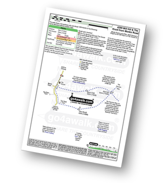
Route Summary:
Chunal Road (Glossop) - A624 - The Grouse Inn - Burnt Hill - Mill Hill - The Knott (Hayfield) - Hollingworth Clough - Tom Heys Farm - The Grouse Inn - A624 - Chunal Road (Glossop)

|
Vital Statistics:
| Length: | 5.25 miles (8.5 km) |
| Ascent: | 630ft (192m) |
| Time: | 2½ hrs |
| Grade: | |
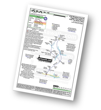
Route Summary:
Snake Pass - (A57) - The Pennine Way - Bleaklow Head (Bleaklow Hill) - The The Wain Stones (or Kissing Stones) - Higher Shelf Stones - A57 Snake Pass.

|
Vital Statistics:
| Length: | 10.5 miles (17 km) |
| Ascent: | 2,468ft (752m) |
| Time: | 6.25hrs |
| Grade: | |
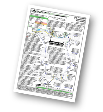
Route Summary:
Hayfield - Sett Valley Trail - Birch Vale - Morland Road - Ollersett - New Allotments - Cracken Edge - Chinley Churn - Chinley Head - Dry Clough Farm - Chinley - Naze House - Greystead - Alder Ling - Wicken House - Andrews Farm - South Head (Hayfield) - Mount Famine - Elle Bank - Pennine Bridleway - Tunstead House - Bowden Bridge - Hayfield

|
Vital Statistics:
| Length: | 8.75 miles (14 km) |
| Ascent: | 1,861ft (567m) |
| Time: | 5 hrs |
| Grade: | |

Route Summary:
Hayfield - Sett Valley Trail - Birch Vale - Morland Road - Ollersett - New Allotments - Chinley Churn - Cracken Edge - Chinley - Vorposten - Hayfield

|
Vital Statistics:
| Length: | 4.75 miles (7.5 km) |
| Ascent: | 843ft (257m) |
| Time: | 2.75hrs |
| Grade: | |

Route Summary:
Hayfield - Sett Valley Trail Car Park - Valley Road - Bowden Bridge Car Park - Kinder Road - Kinder Reservoir - White Brow - Middle Moor (Hayfield) - Snake Path - Sett Valley Trail Car Park - Hayfield

|
Vital Statistics:
| Length: | 13.5 miles (21.5 km) |
| Ascent: | 2,914ft (888m) |
| Time: | 7.75hrs |
| Grade: | |
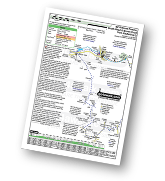
Route Summary:
Hayfield - Sett Valley Trail - Birch Vale - Morland Road - Ollersett - New Allotments - Chinley Head - Mount Famine - South Head (Hayfield) - Brown Knoll (Edale) - Edale Cross - Oaken Clough - Coldwell Clough - Tunstead House - Bowden Bridge - Hayfield

|
Vital Statistics:
| Length: | 9.5 miles (15 km) |
| Ascent: | 2,074ft (632m) |
| Time: | 5½ hrs |
| Grade: | |

Route Summary:
Hayfield - Sett Valley Trail - Birch Vale - The River Sett - The Pennine Bridleway - Lantern Pike - Matley Moor - Burnt Hill - Mill Hill (Ashop Head) - The Pennine Way - William Clough - Kinder Reservoir - Snake Path - Middle Moor - Hayfield

|
Vital Statistics:
| Length: | 4.75 miles (7.5 km) |
| Ascent: | 899ft (274m) |
| Time: | 2.75hrs |
| Grade: | |
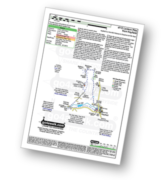
Route Summary:
Hayfield - Sett Valley Trail - Birch Vale - The River Sett - The Pennine Bridleway - Lantern Pike - Hey Wood - Little Hayfield - Sett Valley Trail - Hayfield

|
Vital Statistics:
| Length: | 10.5 miles (17 km) |
| Ascent: | 2,055ft (626m) |
| Time: | 6 hrs |
| Grade: | |
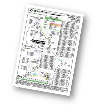
Route Summary:
Hayfield - Sett Valley Trail - Birch Vale - The River Sett - The Pennine Bridleway - Lantern Pike - Rowarth - Cown Edge Rocks - Chunal Road (Glossop) - Hollingwood Clough - Middle Moor (Hayfield) - The Snake Path - Hayfield

|
Vital Statistics:
| Length: | 8.75 miles (14 km) |
| Ascent: | 1,851ft (564m) |
| Time: | 5 hrs |
| Grade: | |
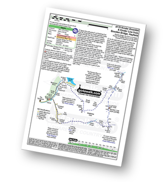
Route Summary:
Bowden Bridge - Hayfield - Booth Sheepwash - Farlands - Broad Clough - Kinderlow End - Three Knolls - Cluther Rocks - Red Brook - The Pennine Way - Kinder Downfall - Kinder Low (Kinder Scout) - Edale Cross - Oaken Clough - Coldwell Clough - Bowden Bridge - Hayfield

|
Vital Statistics:
| Length: | 8.75 miles (14 km) |
| Ascent: | 2,192ft (688m) |
| Time: | 5½ hrs |
| Grade: | |

Route Summary:
Bowden Bridge - Hayfield - Booth Sheepwash - White Brow - Kinder Reservoir - Nab Brow - William Clough - Ashop Head - Mill Hill (Ashop Head) - The Pennine Way - Kinder Scout - The Edge (Kinder Scout) - Kinder Downfall - Red Brook - Cluther Rocks - Kinder Low (Kinder Scout) - Edale Cross - Kinderlow End - Oaken Clough - Tunstead House Farm - Bowden Bridge - Hayfield
Not familiar with the area around SK13?
See these 30 nearest walks to UK Postcode SK13 on a google map

|
Vital Statistics:
| Length: | 7.5 miles (12 km) |
| Ascent: | 1,808ft (551m) |
| Time: | 4½ hrs |
| Grade: | |

Route Summary:
Bowden Bridge - Hayfield - Turnstead House - Coldwell Clough - Oaken Clough - Edale Cross - Brown Knoll (Edale) - South Head (Hayfield) - Mount Famine - Elle Bank - The Pennine Bridleway - Tunstead House - Bowden Bridge - Hayfield

|
Vital Statistics:
| Length: | 10.75 miles (17 km) |
| Ascent: | 2,242ft (683m) |
| Time: | 6.25hrs |
| Grade: | |

Route Summary:
Bowden Bridge - Hayfield - Booth Sheepwash - Farlands - Broad Clough - Kinderlow End - Three Knolls - Cluther Rocks - Red Brook - The Pennine Way - Kinder Downfall - Kinder Low (Kinder Scout) - Brown Knoll (Edale) - South Head (Hayfield) - Mount Famine - Elle Bank - The Pennine Bridleway - Tunstead House - Hayfield

|
Vital Statistics:
| Length: | 9 miles (14.5 km) |
| Ascent: | 1,746ft (532m) |
| Time: | 5 hrs |
| Grade: | |
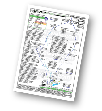
Route Summary:
Crowden - Crowden Brook - The Pennine Way - Highstone Rocks - Span Gutter - Rakes Rocks - Oakenclough Brook - Laddow Moss - Black Chew Head (Laddow Rocks) - Near Broadslate - Sliddens - Dun Hill - Black Hill (Soldier's Lump) - Tooleyshaw Moss - Tooleyshaw Moor - White Low - Westend Moss - Hey Moss - Hey Edge - Crowden

|
Vital Statistics:
| Length: | 8.5 miles (13.5 km) |
| Ascent: | 2,289ft (698m) |
| Time: | 5½ hrs |
| Grade: | |
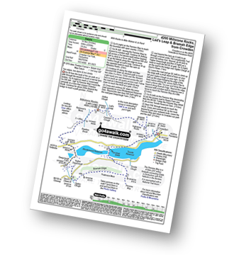
Route Summary:
Crowden - The Pennine Way - Highstone Rocks - Lad's Leap - Millstone Rocks (Lad's Leap) - Rhodeswood Reservoir - Higher Deepclough - Devil's Elbow - Ogden Clough - Nell's Pike - Bramah Edge - Peaknaze Moor - The Pennine Way - Torside Reservoir - Crowden

|
Vital Statistics:
| Length: | 6.25 miles (10 km) |
| Ascent: | 1,610ft (491m) |
| Time: | 4 hrs |
| Grade: | |
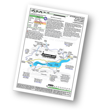
Route Summary:
Crowden - The Pennine Way - Highstone Rocks - Lad's Leap - Millstone Rocks (Lad's Leap) - Rhodeswood Reservoir - The Longdendale Trail - The Pennine Way - Torside Reservoir - Crowden

|
Vital Statistics:
| Length: | 7.25 miles (11.5 km) |
| Ascent: | 1,515ft (562m) |
| Time: | 4.25hrs |
| Grade: | |

Route Summary:
Crowden - The Pennine Way - Torside Reservoir - Rhodeswood Reservoir - Higher Deepclough - Devil's Elbow - Ogden Clough - Nell's Pike - Bramah Edge - Peaknaze Moor - The Pennine Way - Torside Reservoir - Crowden

|
Vital Statistics:
| Length: | 5.25 miles (8.5 km) |
| Ascent: | 823ft (251m) |
| Time: | 2.75hrs |
| Grade: | |
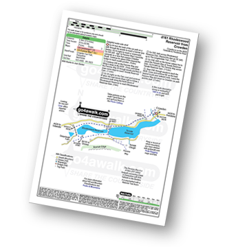
Route Summary:
Crowden - The Pennine Way - Torside Reservoir - Rhodeswood Reservoir - The Longdendale Trail - The Pennine Way - Torside Reservoir - Crowden

|
Vital Statistics:
| Length: | 9 miles (14.5 km) |
| Ascent: | 1,689ft (515m) |
| Time: | 5 hrs |
| Grade: | |

Route Summary:
Birchin Clough - A57 Snake Pass - Lady Clough - River Ashop - Rough Bank - Fair Brook - Kinder Scout - Edale Moor - Kinder Plateau - Kinder Downfall - The Pennine Way - The Edge (Kinder Scout) - Ashop Head - Mill Hill (Ashop Head) - Black Ashop Moor - Within Clough - Red Clough - Upper Gate Clough - Ashop Clough - Birchin Clough

|
Vital Statistics:
| Length: | 9.75 miles (15.5 km) |
| Ascent: | 1,841ft (561m) |
| Time: | 5½ hrs |
| Grade: | |

Route Summary:
Birchin Clough - (A57 Snake Pass) - Lady Clough - River Ashop - Rough Bank - Fair Brook - Fairbrook Naze (Kinder Scout) - The Kinder Plateau - Edale Moor - The Edge (Kinder Scout) - The Pennine Way - Ashop Head - Mill Hill - Black Ashop Moor - Within Clough - Red Clough - Upper Gate Clough - Ashop Clough - Birchin Clough - (A57 Snake Pass).

|
Vital Statistics:
| Length: | 12.25 miles (19.5 km) |
| Ascent: | 2,189ft (667m) |
| Time: | 6.75hrs |
| Grade: | |

Route Summary:
Birchin Clough - (A57 Snake Pass) - Lady Clough - River Ashop - Rough Bank - Fair Brook - Seal Edge - Seal Stones (Kinder Scout) - Fairbrook Naze (Kinder Scout) - The Kinder Plateau - Edale Moor - The Edge (Kinder Scout) - The Pennine Way - Ashop Head - Mill Hill (Ashop Head) - Featherbed Top (Featherbed Moss) - A57 Snake Pass - Old Woman - Doctors Gate - Lady Clough - Birchin Clough - (A57 Snake Pass).

|
Vital Statistics:
| Length: | 3.5 miles (5.5 km) |
| Ascent: | 705ft (215m) |
| Time: | 2 hrs |
| Grade: |  |
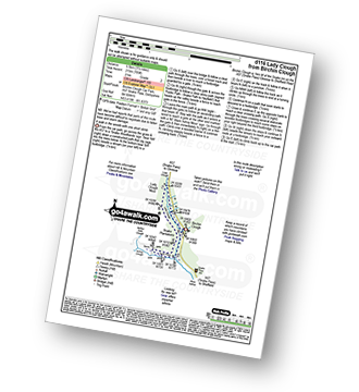
Route Summary:
Birchin Clough - (A57 Snake Pass) - Lady Clough - River Ashop - Saukin Ridge - Black Ashop Moor - Snake Plantations - Lady Clough Moor - Lady Clough - Lady Clough Bridge - Birchin Clough - (A57 Snake Pass).

|
Vital Statistics:
| Length: | 8.25 miles (13 km) |
| Ascent: | 2,060ft (628m) |
| Time: | 5 hrs |
| Grade: | |

Route Summary:
Birchin Clough - A57 Snake Pass - Lady Clough - River Ashop - Rough Bank - Fair Brook - Gate Side Clough - Wood Moor - Dunge Clough - The Wicken - Blackden Brook - Blackden Moor - Kinder Scout - Edale Moor - Kinder Plateau - Seal Edge - Seal Stones (Kinder Scout) - Fair Brook - Birchin Wood - Birchin Clough

|
Vital Statistics:
| Length: | 8.75 miles (14 km) |
| Ascent: | 1,328ft (405m) |
| Time: | 4½ hrs |
| Grade: | |

Route Summary:
Birchin Clough - Snake Path - Ashop Clough - Upper Gate Clough - Red Clough - Within Clough - Ashop Head - The Pennine Way - Mill Hill (Ashop Head) - Featherbed Top (Featherbed Moss) - A57 Snake Pass - Old Woman - Doctors Gate - Lady Clough - Birchin Clough

|
Vital Statistics:
| Length: | 9.5 miles (15 km) |
| Ascent: | 1,696ft (517m) |
| Time: | 5.25hrs |
| Grade: | |
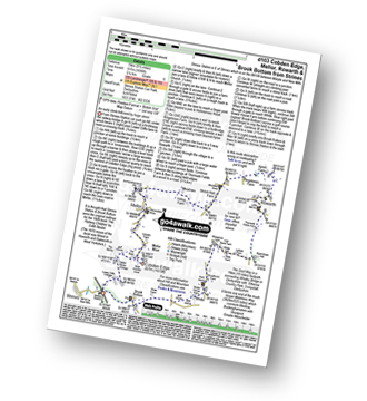
Route Summary:
Strines Station - Lower Cliffe Cottage - Higher Banks Cottage - Cobden Edge - Mellor Moor - Mellor - Mellor Church - Hilltop Farm - Shiloh Hall Farm - Ringstones Farm - Ayton Farm - Rowarth - Thornsett Fields Farm - New Mills - Whitle - Brook Bottom - The Goyt Way - The Midshires Way - Strines Station

|
Vital Statistics:
| Length: | 11.5 miles (18.5 km) |
| Ascent: | 2,501ft (762m) |
| Time: | 6.75hrs |
| Grade: | |

Route Summary:
Dove Stone Reservoir - Greenfield - The Oldham Way - Yeoman Hey Reservoir - Greenfield Reservoir - Birchin Clough - Raven Stones Brow - Ashway Rocks - Dean Rocks - Great Dove Stone Rocks - Chew Reservoir - Stable Stones Brow (Hoarstone Edge) - Alphin Pike - Dove Stone Reservoir
Not familiar with the area around SK13?
See these 30 nearest walks to UK Postcode SK13 on a google map