UK Postcode OL1 - The 30 nearest easy-to-follow, circular walk route maps to you
The thirty nearest easy-to-follow, circular walk route maps to you in UK Postcode OL1 in Walk Grade Order
The UK cities, towns and villages in Greater Manchester, England that have OL1 in their UK Postcode include:
• Oldham •
Not familiar with the area around OL1?
See these 30 nearest walks to UK Postcode OL1 on a google map

   |
Vital Statistics:
| Length: | 7 miles (11 km) |
| Ascent: | 1,615ft (492m) |
| Time: | 4.25hrs |
| Grade: |  |

Route Summary:
Dove Stone Reservoir - Greenfield - The Oldham Way - Chew Brook - Chew Reservoir - Stable Stones Brow (Hoarstone Edge) - Alphin Pike - Dove Stone Reservoir


|
Vital Statistics:
| Length: | 8.5 miles (13.5 km) |
| Ascent: | 1,848ft (563m) |
| Time: | 5 hrs |
| Grade: |  |

Route Summary:
Dove Stone Reservoir - Greenfield - The Oldham Way - Yeoman Hey Reservoir - Greenfield Reservoir - Birchin Clough - Raven Stones Brow - Ashway Rocks - Ashway Gap - Dean Rocks - Great Dove Stone Rocks - Dove Stone Moss - Chew Reservoir - Chew Brook - Dove Stone Reservoir

|
Vital Statistics:
| Length: | 6.25 miles (10 km) |
| Ascent: | 1,441ft (439m) |
| Time: | 3.75hrs |
| Grade: |  |

Route Summary:
Dove Stone Reservoir - Greenfield - The Oldham Way - Yeoman Hey Reservoir - Ashway Rocks - Ashway Gap - Dean Rocks - Great Dove Stone Rocks - Dove Stone Moss - Chew Reservoir - Chew Brook - Dove Stone Reservoir

|
Vital Statistics:
| Length: | 4.5 miles (7 km) |
| Ascent: | 729ft (222m) |
| Time: | 2½ hrs |
| Grade: |  |
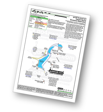
Route Summary:
Dove Stone Reservoir - Greenfield - The Oldham Way - Yeoman Hey Reservoir - Dove Stone Reservoir

|
Vital Statistics:
| Length: | 11.5 miles (18.5 km) |
| Ascent: | 2,501ft (762m) |
| Time: | 6.75hrs |
| Grade: |  |

Route Summary:
Dove Stone Reservoir - Greenfield - The Oldham Way - Yeoman Hey Reservoir - Greenfield Reservoir - Birchin Clough - Raven Stones Brow - Ashway Rocks - Dean Rocks - Great Dove Stone Rocks - Chew Reservoir - Stable Stones Brow (Hoarstone Edge) - Alphin Pike - Dove Stone Reservoir

|
Vital Statistics:
| Length: | 5 miles (8 km) |
| Ascent: | 607ft (246m) |
| Time: | 2½ hrs |
| Grade: | |
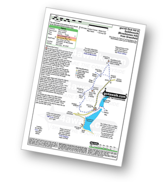
Route Summary:
Binn Green Car Park - Greenfield - The Oldham Way - Pots and Pans War Memorial - Dick Hill - Shaw Rocks - Slades Rocks - Saddleworth Moor - Saddleworth (Broadstone Hill) - Binn Green Car Park - Greenfield.

|
Vital Statistics:
| Length: | 6.25 miles (10 km) |
| Ascent: | 1,017ft (310m) |
| Time: | 3½ hrs |
| Grade: | |

Route Summary:
Hollingworth Lake Car Park - Ealees Brook - Brearley - Whittaker Golf Club - Lydgate - Blackstone Edge Pasture - The Pennine Way - Aiggin Stone - Blackstone Edge - Robin Hood Bed - Broad Head Drain - Hoar Edge - Clegg Moor - Dry Moor - Benny Hill - Syke Nab - Hollingworth Lake.

|
Vital Statistics:
| Length: | 10 miles (16 km) |
| Ascent: | 1,115ft (340m) |
| Time: | 4½ hrs |
| Grade: | |
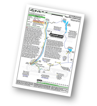
Route Summary:
Littleborough - Rochdale Way - Ealees Road - Ealees Brook - Brearley - Whittaker Colf Club - Lydgate - Blackstone Edge Pasture - Aiggin Stone - The Pennine Way - Blackstone Edge Moor - Blackstone Edge Reservoir - Chelburn Moor - Utley Edge - Light Hazzles Reservoir - Warland Reservoir - Warland - Rochdale Canal - Summit - Timbercliffe - Claderbrook - Littleborough

|
Vital Statistics:
| Length: | 12.5 miles (20 km) |
| Ascent: | 2,143ft (653m) |
| Time: | 6.75hrs |
| Grade: | |
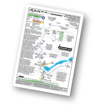
Route Summary:
Hadfield - The Longdenden Trail - Tintwistle - Arnfield Gamekeepers Cottage - Arnfield Brook - Arnfield Farm - Tintwistle Low Moor - Ogden Brook - Arnfield Moor - Arnfield Flats - Ormes Moor - Wilderness - Windgate Edge - Blindstones Moor - Featherbed Moss (Chew Reservoir) - Laddow Moss - Black Chew Head (Laddow Rocks) - The Pennine Way - Oakenclough Brook - Rakes Rocks - Highstone Rocks - Torside Reservoir - Rhodeswood Reservoir - The Longdendale Trail - Hadfield

|
Vital Statistics:
| Length: | 8.5 miles (13.5 km) |
| Ascent: | 1,549ft (472m) |
| Time: | 4.75hrs |
| Grade: | |
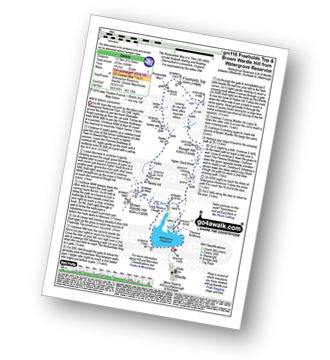
Route Summary:
Watergrove Reservoir - Wardle - Ramsden Road - The Pennine Bridleway - Crook Moor - Higher Slack Brook - Rough Hill (Shore Moor) - Freeholds Top - Trough Edge End - The Rossendale Way - Trough Edge - Deacon Pasture - Hades Hill - Hades - Middle Hill (Whitworth) - Brown Wardle Hill - Long Shoot Clough - Watergrove Reservoir - Wardle.

|
Vital Statistics:
| Length: | 8.5 miles (13.5 km) |
| Ascent: | 1,319ft (405m) |
| Time: | 4½ hrs |
| Grade: | |
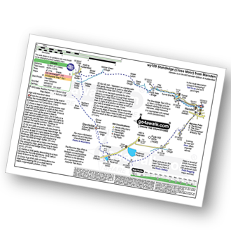
Route Summary:
Marsden - Tunnel End - Hey Green - Close Gate Bridge - Stack End - Willkay Clough - Green Laitch - Wilmer Green Clough - Broad Wham - Haigh Gutter - The Pennine Way - Oldgate Moss - Haigh Gutter Moss - Blea Green - Northern Rotcher - Dinner Stone - Standedge (Close Moor) - Millstone Edge - Standedge - Brun Moor - Brun Clough Reservoir - Redbrook Rreservoir - The Standedge Trail - Carr Clough - Marsden

|
Vital Statistics:
| Length: | 9 miles (14.5 km) |
| Ascent: | 131ft (40m) |
| Time: | 3½ hrs |
| Grade: |  |

Route Summary:
Blackstone Edge Reservoir - The Pennine Way - Cow Head - Byron Edge - Light Hazzles Edge - White Holme Reservoir - Farther Hill - Little Moor Stone - White Holme Drain - Blake Moor - Middle Moor - Cloven Stone - Turley Moor - Higher House Moor - Bird Nest Hill - Withins Moor - Warland Drain - The Pennine Way - Withins Clough Head - Warland Reservoir - Light Hazzles Reservoir - Utley Edge - Chelburn Moor - Blackstone Edge Reservoir

|
Vital Statistics:
| Length: | 3.75 miles (6 km) |
| Ascent: | 820ft (250m) |
| Time: | 2.25hrs |
| Grade: | |
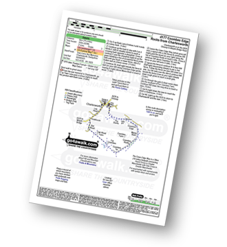
Route Summary:
Charlesworth - The Banks - The Cown Edge Way - Coombes Edge - Coombes Rocks - Coombes Tor - Far Coombes - Oak Wood Farm - Bot Wood - Holehouse - Charlesworth

|
Vital Statistics:
| Length: | 9.75 miles (15.5 km) |
| Ascent: | 1,902ft (580m) |
| Time: | 5½ hrs |
| Grade: | |

Route Summary:
Wessenden Head - The Pennine Way - Wessenden Reservoir - Wessenden Lodge - Blakely Clough - Black Moss Reservoir - Black Hill (Soldier's Lump) - Wessenden Head

|
Vital Statistics:
| Length: | 6.25 miles (10 km) |
| Ascent: | 1,610ft (491m) |
| Time: | 4 hrs |
| Grade: | |
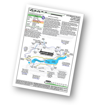
Route Summary:
Crowden - The Pennine Way - Highstone Rocks - Lad's Leap - Millstone Rocks (Lad's Leap) - Rhodeswood Reservoir - The Longdendale Trail - The Pennine Way - Torside Reservoir - Crowden
Not familiar with the area around OL1?
See these 30 nearest walks to UK Postcode OL1 on a google map

|
Vital Statistics:
| Length: | 9 miles (14.5 km) |
| Ascent: | 1,746ft (532m) |
| Time: | 5 hrs |
| Grade: | |
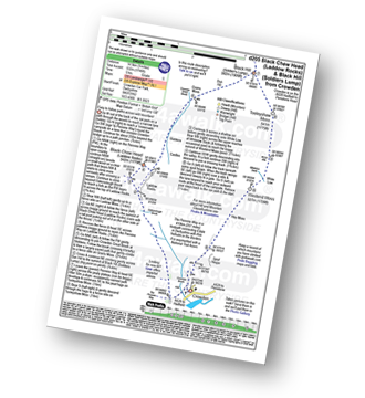
Route Summary:
Crowden - Crowden Brook - The Pennine Way - Highstone Rocks - Span Gutter - Rakes Rocks - Oakenclough Brook - Laddow Moss - Black Chew Head (Laddow Rocks) - Near Broadslate - Sliddens - Dun Hill - Black Hill (Soldier's Lump) - Tooleyshaw Moss - Tooleyshaw Moor - White Low - Westend Moss - Hey Moss - Hey Edge - Crowden

|
Vital Statistics:
| Length: | 5.25 miles (8.5 km) |
| Ascent: | 823ft (251m) |
| Time: | 2.75hrs |
| Grade: | |
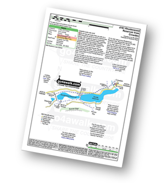
Route Summary:
Crowden - The Pennine Way - Torside Reservoir - Rhodeswood Reservoir - The Longdendale Trail - The Pennine Way - Torside Reservoir - Crowden

|
Vital Statistics:
| Length: | 7.25 miles (11.5 km) |
| Ascent: | 1,515ft (562m) |
| Time: | 4.25hrs |
| Grade: | |

Route Summary:
Crowden - The Pennine Way - Torside Reservoir - Rhodeswood Reservoir - Higher Deepclough - Devil's Elbow - Ogden Clough - Nell's Pike - Bramah Edge - Peaknaze Moor - The Pennine Way - Torside Reservoir - Crowden

|
Vital Statistics:
| Length: | 8.5 miles (13.5 km) |
| Ascent: | 2,289ft (698m) |
| Time: | 5½ hrs |
| Grade: | |
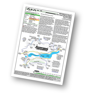
Route Summary:
Crowden - The Pennine Way - Highstone Rocks - Lad's Leap - Millstone Rocks (Lad's Leap) - Rhodeswood Reservoir - Higher Deepclough - Devil's Elbow - Ogden Clough - Nell's Pike - Bramah Edge - Peaknaze Moor - The Pennine Way - Torside Reservoir - Crowden

|
Vital Statistics:
| Length: | 7.25 miles (11.5 km) |
| Ascent: | 1,526ft (465m) |
| Time: | 4.25hrs |
| Grade: | |

Route Summary:
Old Glossop - Shittern Clough - Lightside - Yellow Slacks - Dowstone Clough - Dog Rock - Higher Shelf Stones - James's Thorn - Doctors Gate Path - Shelf Brook - Moss Lea Farm - Old Glossop

|
Vital Statistics:
| Length: | 9 miles (14.5 km) |
| Ascent: | 1,850ft (564m) |
| Time: | 5.25hrs |
| Grade: | |

Route Summary:
Old Glossop - Shittern Clough - Lightside - Yellow Slacks - Dog Rock - Dowstone Clough - Yellowslacks Brook - The Wain Stones (or Kissing Stones) - Bleaklow Head (Bleaklow Hill) - Higher Shelf Stones - Crooked Clough - The Pennine Way - Old Woman - Doctor's Gate Path - Shelf Brook - Moss Lea Farm - Old Glossop

|
Vital Statistics:
| Length: | 5.5 miles (9 km) |
| Ascent: | 817ft (249m) |
| Time: | 2.75hrs |
| Grade: | |

Route Summary:
Warland - Warland Reservoir - Warland Drain - Langfield Common - Gaddings Dam - Basin Stones - Rake End - Walsden - Rochdale Canal - Warland,.

|
Vital Statistics:
| Length: | 11.25 miles (18 km) |
| Ascent: | 1,631ft (497m) |
| Time: | 5.75hrs |
| Grade: | |

Route Summary:
Ryburn Reservoir - River Ryburn - Higher Wormaid - Grey Stone Height - Cat Moss - Rishworth Moor - Warm Withens Hill - Rishworth Drain - Rag Sapling Clough - Blackstone Edge Moor - Old Packhorse Road - Dick Slack - The Aiggin Stone - The Pennine Way - Blackstone Edge - Robin Hoods Bed - Sun End - Redmires - White Isles - Lads Grave - M62 - Green Withens Reservoir - Green Withens Edge - Dog Hill (Rishworth Moor) - Blackwood Edge - Blackwood Farm - Hutch Brook - Ryburn Reservoir

|
Vital Statistics:
| Length: | 3.75 miles (6 km) |
| Ascent: | 562ft (171m) |
| Time: | 2 hrs |
| Grade: | |

Route Summary:
Ryburn Reservoir - River Ryburn - Baitings Reservoir - Back O'the Height - Hutch Brook - Ryburn Reservoir

|
Vital Statistics:
| Length: | 7.5 miles (12 km) |
| Ascent: | 1,241ft (378m) |
| Time: | 4 hrs |
| Grade: | |
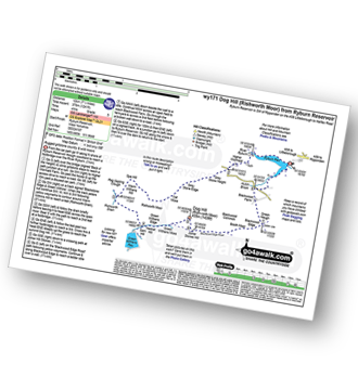
Route Summary:
Ryburn Reservoir - River Ryburn - Higher Wormaid - Grey Stone Height - Cat Moss - Rishworth Moor - Warm Withens Hill - Rishworth Drain - Sam Hill - Green Withens Reservoir - Green Withens Moss - Dog Hill (Rishworth Moor) - Blackwood Edge - Blackwood Farm - Hutch Brook - Ryburn Reservoir

|
Vital Statistics:
| Length: | 5 miles (8 km) |
| Ascent: | 1,162ft (354m) |
| Time: | 3 hrs |
| Grade: | |
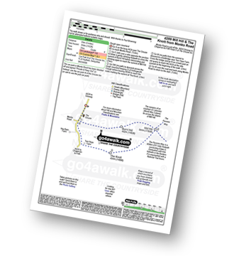
Route Summary:
Chunal Road (Glossop) - A624 - The Grouse Inn - Burnt Hill - Mill Hill - The Knott (Hayfield) - Hollingworth Clough - Tom Heys Farm - The Grouse Inn - A624 - Chunal Road (Glossop)

|
Vital Statistics:
| Length: | 8.75 miles (14 km) |
| Ascent: | 1,316ft (401m) |
| Time: | 4½ hrs |
| Grade: | |
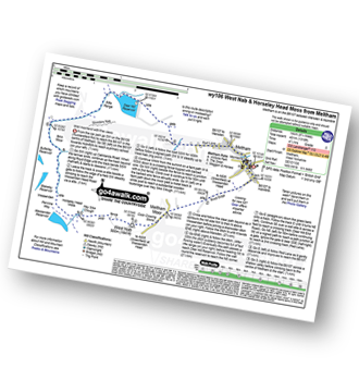
Route Summary:
Meltham - Royd Edge - Meltham Moor - Cock Crowing Stone - West Nab - Hey Sike Clough - Horseley Head Moss - Wessenden - Binn Moor - Deer Hill Reservoir - Meltham

|
Vital Statistics:
| Length: | 10.5 miles (17 km) |
| Ascent: | 1,975ft (602m) |
| Time: | 5.75hrs |
| Grade: | |

Route Summary:
Woodhead Tunnel - Middle Black Clough - Bleaklow Stones (Bleaklow Hill) - Bleaklow Head (Bleaklow Hill) - The Wain Stones (or Kissing Stones) - The Pennine Way - Clough Edge - The Longdendale Trail - Crowden - Woodhead Reservoir - Woodhead Tunnel

|
Vital Statistics:
| Length: | 13.25 miles (21 km) |
| Ascent: | 2,081ft (634m) |
| Time: | 7 hrs |
| Grade: | |
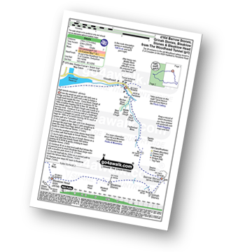
Route Summary:
Woodhead Tunnel - Far Black Clough - Swains Head - Swains Greave - Barrow Stones - Grinah Stones - Bleaklow Stones (Bleaklow Hill) - Bleaklow Head (Bleaklow Hill) - The Wain Stones (or Kissing Stones) - The Pennine Way - Joseph Patch - John Track Well - Torside Clough - Peaknaze Moor - Reaps Farm - The Longdendale Trail - Torside Reservoir - Woodhead Reservoir - Woodhead Tunnel

|
Vital Statistics:
| Length: | 9.5 miles (15 km) |
| Ascent: | 1,696ft (517m) |
| Time: | 5.25hrs |
| Grade: | |
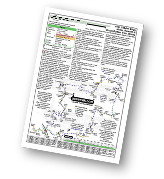
Route Summary:
Strines Station - Lower Cliffe Cottage - Higher Banks Cottage - Cobden Edge - Mellor Moor - Mellor - Mellor Church - Hilltop Farm - Shiloh Hall Farm - Ringstones Farm - Ayton Farm - Rowarth - Thornsett Fields Farm - New Mills - Whitle - Brook Bottom - The Goyt Way - The Midshires Way - Strines Station
Not familiar with the area around OL1?
See these 30 nearest walks to UK Postcode OL1 on a google map