UK Postcode LS25 - The 30 nearest easy-to-follow, circular walk route maps to you
The thirty nearest easy-to-follow, circular walk route maps to you in UK Postcode LS25 in Walk Grade Order
The UK cities, towns and villages in West Yorkshire, England that have LS25 in their UK Postcode include:
• Aberford • Biggin • Burton Salmon • Garforth • Hillam • Kippax • Ledsham • Little Fenton • Lumby • Monk Fryston • Newthorpe • Old Micklefield • Sherburn in Elmet • South Milford • West Garforth •
Not familiar with the area around LS25?
See these 30 nearest walks to UK Postcode LS25 on a google map

   |
Vital Statistics:
| Length: | 6.75 miles (11 km) |
| Ascent: | 696ft (212m) |
| Time: | 3.25hrs |
| Grade: |  |
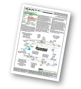
Route Summary:
Cote Hill - The Leeds Country Walk - Harewood Gardens - Lodge Hills - Nan Pie - Grey Stone Pasture - New Bridge - Piper Wood - Stub House Plantation - The Ebor Way - Carr House - Carr Wood - Stank - Harewood House - Home Farm - The Grove - Harewood - Maltkin House - New Laithe Farm - Cut Whin Wood - Hollin Hall - Hollin Hall Pnds - Wike Wood - Cote Hill


|
Vital Statistics:
| Length: | 4.75 miles (7.5 km) |
| Ascent: | 880ft (268m) |
| Time: | 2.75hrs |
| Grade: | |
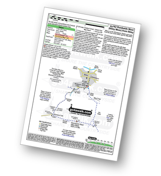
Route Summary:
Ilkley - The Dales Way - Grainings Head - Cowper's Cross - Whetstone Gate - Rombalds Moor (Ilkley Moor) - The Dales Way Link - Gill Head - Ilkley Crags - White Wells - Ilkley

|
Vital Statistics:
| Length: | 6.25 miles (10 km) |
| Ascent: | 935ft (285m) |
| Time: | 3.25hrs |
| Grade: |  |
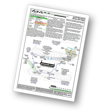
Route Summary:
Ilkley - The Dales Way - Swastika Stone - High Moor - Overgate Croft Farm. West Buck Stones - East Buck Stones - Cowper's Cross - Whetstone Gate - Ilkley Moor - Grainings Head - Ilkley

|
Vital Statistics:
| Length: | 7.75 miles (12.5 km) |
| Ascent: | 1,057ft (322m) |
| Time: | 4 hrs |
| Grade: | |

Route Summary:
Ilkley - The Dales Way - Swastika Stone - High Moor - Overgate Croft Farm - West Buck Stones - East Buck Stones - Cowper's Cross - Whetstone Gate - Rombalds Moor (Ilkley Moor) - The Dales Way Link - Gill Head - Ilkley Crags - White Wells - Ilkley

|
Vital Statistics:
| Length: | 9 miles (14.5 km) |
| Ascent: | 1,234ft (376m) |
| Time: | 4½ hrs |
| Grade: |  |
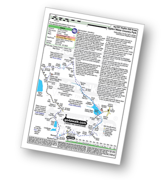
Route Summary:
Ogden Water Country Park - Ogden Water - Great Scar - White Wall End - Thornton Moor - Sawood Moss - Hambleton Top - Little Clough - Great Clough - Nab Hill - Nab Rough - Hollin Hill (Oxenhope Moor) - Old Fly Delph - Withens Head Farm - Cold Edge - Moorlands Farm - Haigh Cote Barn - Moorside - The Calderdale Way - Hough Gate Farm - Hunter Hill - Goose Clough - Stod Fold - Hebble Brook - Ogden Water - Ogden Water Country Park

|
Vital Statistics:
| Length: | 6 miles (9.5 km) |
| Ascent: | 1,152ft (351m) |
| Time: | 3.25hrs |
| Grade: | |

Route Summary:
Holmfirth - Nora Batty's House and Sid's Cafe (Last of The Summer Wine) - Malkin Farm - River Holme - Hinchliffe Mill - Hogley Green - Hogley Farm - Upperthong - Netherthong - Holmfirth

|
Vital Statistics:
| Length: | 11.5 miles (18.5 km) |
| Ascent: | 1,674ft (510m) |
| Time: | 6 hrs |
| Grade: |  |
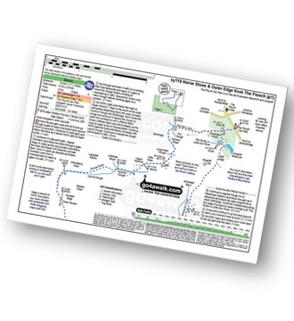
Route Summary:
The Flouch Car Park - Crookland Wood - Swinden Lane - Fox Clough - Langsett Moors - Barmings - Hordron Road - Long Moor Clough - Hordron Clough - The Porter or Little Don River - Laund Clough - Harden Moor - Howden Edge - Hoar Stones - Horse Stone (Horse Stone Naze) - Stainery Clough Head - Howden Moors - Crow Stones - Crow Stones Edge - Outer Edge - Cut Gate End - Cut Gate Path - Mickleden Edge - Delf Edge - Langsett Reservoir - The Porter or Little Don River - The Flouch.

|
Vital Statistics:
| Length: | 3.75 miles (6.5 km) |
| Ascent: | 673ft (205m) |
| Time: | 2.25hrs |
| Grade: | |
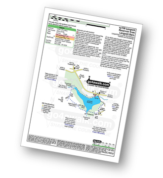
Route Summary:
Langsett Barn - Langsett - Langsett Reservoir Dam - Upper Midhope - Thickwoods - Thickwoods Brook - North America Farm - Delf Edge - Langsett Reservoir - The Porter or Little Don River - Crookland Wood - Langsett Reservoir - Langsett Barn

|
Vital Statistics:
| Length: | 7.5 miles (12 km) |
| Ascent: | 1,118ft (360m) |
| Time: | 4 hrs |
| Grade: | |

Route Summary:
Langsett Barn - Langsett - Langsett Reservoir - Langsett Reservoir Dam - Upper Midhope - Thickwoods - Thickwoods Brook - Fenny Common Ings - Fenny Common - Pike Lowe Stones - Pike Lowe - Candlerush Edge - Sugden Top - Lost Lad (Langsett) - Mickleden Edge (Langsett) - Haslingshaw Hingcliff Common - Delf Edge - Langsett Reservoir - The Porter or Little Don River - Crookland Wood - Langsett Reservoir - Langsett Barn

|
Vital Statistics:
| Length: | 8.75 miles (14 km) |
| Ascent: | 1,316ft (401m) |
| Time: | 4½ hrs |
| Grade: | |
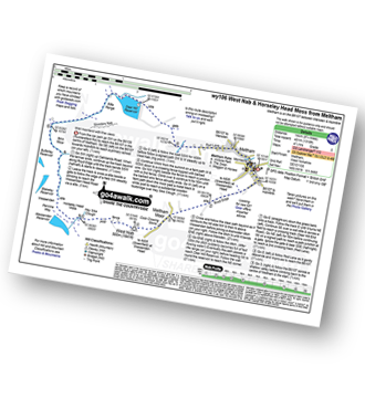
Route Summary:
Meltham - Royd Edge - Meltham Moor - Cock Crowing Stone - West Nab - Hey Sike Clough - Horseley Head Moss - Wessenden - Binn Moor - Deer Hill Reservoir - Meltham

|
Vital Statistics:
| Length: | 12 miles (19 km) |
| Ascent: | 1,365ft (416m) |
| Time: | 5.75hrs |
| Grade: | |
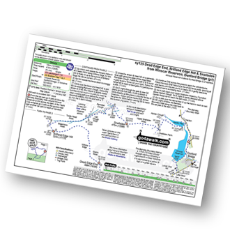
Route Summary:
Winscar Reservoir - Dunford Bridge - The Barnsley Boundary Walk - Little Moor - The Trans Pennine Trail - The Longdendale Trail - Windle Edge - Bagshaw Ridge - Gallows Moss - Salter's Brook Moss - Long Side - Hawthorn Clough - Woodhead Railway Tunnel Air Shaft - Upper Head Dike - Dead Edge End - Upper Dead Edge - Grains Moss - Withins Edge - Britland Edge Hill - Bleakmires Moss - Twizle Head Moss - Lad Clough Knoll - Ramsden Clough - Snailsden - Upper Snailsden Moss - Harden Clugh - Harden Reservoir - Winscar Reservoir - Dunford Bridge.

|
Vital Statistics:
| Length: | 5.5 miles (8.5 km) |
| Ascent: | 728ft (222m) |
| Time: | 2.75hrs |
| Grade: | |
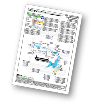
Route Summary:
Winscar Reservoir - Dunford Bridge - Harden Reservoir - Harden Clough - Cook's Study Hill - Snailsden Reservoir - Snailsden - Upper Snailsden Moss - Harden Clugh - Harden Reservoir - Winscar Reservoir - Dunford Bridge.

|
Vital Statistics:
| Length: | 6.5 miles (10.5 km) |
| Ascent: | 1,178ft (359m) |
| Time: | 3½ hrs |
| Grade: | |
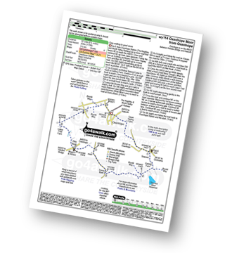
Route Summary:
Oxenhope - Oxenhope Station (The Keighley and Worth Valley Railway) - Upper Hayley Farm - Sawood - Cobling Farm - The Bronte Way - Thornton Moor Reservoir - Sunny Bank - Dike Nook - Lower Fold Farm - Oxenhope

|
Vital Statistics:
| Length: | 5.25 miles (8.5 km) |
| Ascent: | 817ft (249m) |
| Time: | 2.75hrs |
| Grade: | |

Route Summary:
Winscar Reservoir - Dunford Bridge - The Barnsley Boundary Walk - Little Moor - The Trans Pennine Trail - The Longdendale Trail - Windle Edge - Upper Windleden Reservoir - Fiddlers Green - South Nab - Lady Cross - Salter's Brook Moss - Gallows Moss - Carr Top - Woodhead Railway Tunnel Air Shaft - Upper Grip Hill - Lower Grip Hill - Winscar Reservoir - Dunford Bridge.

|
Vital Statistics:
| Length: | 7.25 miles (11.5 km) |
| Ascent: | 896ft (273m) |
| Time: | 3.75hrs |
| Grade: | |
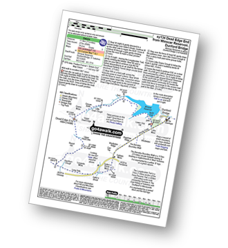
Route Summary:
Winscar Reservoir - Dunford Bridge - The Barnsley Boundary Walk - Little Moor - The Trans Pennine Trail - The Longdendale Trail - Windle Edge - Bagshaw Ridge - Gallows Moss - Salter's Brook Moss - Long Side (Woodhead) - Hawthorn Clough - Woodhead Railway Tunnel Air Shaft - Upper Head Dike - Dead Edge End - Upper Dead Edge - Grains Moss - Little Grains Clough - Winscar Reservoir - Dunford Bridge.
Not familiar with the area around LS25?
See these 30 nearest walks to UK Postcode LS25 on a google map

|
Vital Statistics:
| Length: | 7.25 miles (11.5 km) |
| Ascent: | 210ft (64m) |
| Time: | 3 hrs |
| Grade: |  |

Route Summary:
Wharfedale - Bolton Abbey - The Dales Way - The River Wharfe - Wharfedale - Pickles Beck - Stead Dike - Posforth Gill - Black Sike - Bolton Abbey Aqueduct - Barden Bridge - Bolton Abbey Aqueduct - The Strid - Strid Wood - Cavendish Pavilion - Sand Holme - Bolton Priory - Bolton Abbey - Wharfedale

|
Vital Statistics:
| Length: | 3.75 miles (6 km) |
| Ascent: | 562ft (171m) |
| Time: | 2 hrs |
| Grade: | |

Route Summary:
Ryburn Reservoir - River Ryburn - Baitings Reservoir - Back O'the Height - Hutch Brook - Ryburn Reservoir

|
Vital Statistics:
| Length: | 7.5 miles (12 km) |
| Ascent: | 1,241ft (378m) |
| Time: | 4 hrs |
| Grade: | |
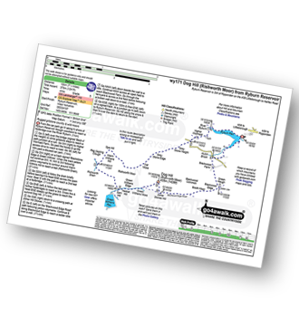
Route Summary:
Ryburn Reservoir - River Ryburn - Higher Wormaid - Grey Stone Height - Cat Moss - Rishworth Moor - Warm Withens Hill - Rishworth Drain - Sam Hill - Green Withens Reservoir - Green Withens Moss - Dog Hill (Rishworth Moor) - Blackwood Edge - Blackwood Farm - Hutch Brook - Ryburn Reservoir

|
Vital Statistics:
| Length: | 11.25 miles (18 km) |
| Ascent: | 1,631ft (497m) |
| Time: | 5.75hrs |
| Grade: | |

Route Summary:
Ryburn Reservoir - River Ryburn - Higher Wormaid - Grey Stone Height - Cat Moss - Rishworth Moor - Warm Withens Hill - Rishworth Drain - Rag Sapling Clough - Blackstone Edge Moor - Old Packhorse Road - Dick Slack - The Aiggin Stone - The Pennine Way - Blackstone Edge - Robin Hoods Bed - Sun End - Redmires - White Isles - Lads Grave - M62 - Green Withens Reservoir - Green Withens Edge - Dog Hill (Rishworth Moor) - Blackwood Edge - Blackwood Farm - Hutch Brook - Ryburn Reservoir

|
Vital Statistics:
| Length: | 9.75 miles (15.5 km) |
| Ascent: | 1,902ft (580m) |
| Time: | 5½ hrs |
| Grade: | |

Route Summary:
Wessenden Head - The Pennine Way - Wessenden Reservoir - Wessenden Lodge - Blakely Clough - Black Moss Reservoir - Black Hill (Soldier's Lump) - Wessenden Head

|
Vital Statistics:
| Length: | 8.5 miles (13.5 km) |
| Ascent: | 1,319ft (405m) |
| Time: | 4½ hrs |
| Grade: | |
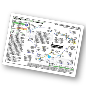
Route Summary:
Marsden - Tunnel End - Hey Green - Close Gate Bridge - Stack End - Willkay Clough - Green Laitch - Wilmer Green Clough - Broad Wham - Haigh Gutter - The Pennine Way - Oldgate Moss - Haigh Gutter Moss - Blea Green - Northern Rotcher - Dinner Stone - Standedge (Close Moor) - Millstone Edge - Standedge - Brun Moor - Brun Clough Reservoir - Redbrook Rreservoir - The Standedge Trail - Carr Clough - Marsden

|
Vital Statistics:
| Length: | 5.75 miles (9 km) |
| Ascent: | 1,113ft (339m) |
| Time: | 3.25hrs |
| Grade: | |

Route Summary:
Hebden Bridge - The Rochdale Canal - Charleston - The Pennine Way - Colden Water - The Calderdale Way - Heptonstall - Hebden Bridge

|
Vital Statistics:
| Length: | 7.75 miles (12.5 km) |
| Ascent: | 1,264ft (385m) |
| Time: | 4.25hrs |
| Grade: | |

Route Summary:
Midgehole National Trust Car Park - Hebden Bridge - Cromsworth Dean - Abel Cote - Lumb Hole Waterfall - Shackleton Knoll - Walshaw - New Laithe Moor - Holme Ends Bridge - Alcomden Water - Blake Dean - Hardcastle Crags - Gibson Mill - Hebden Water - Midgehole.

|
Vital Statistics:
| Length: | 6.25 miles (10 km) |
| Ascent: | 1,451ft (442m) |
| Time: | 3.75hrs |
| Grade: | |
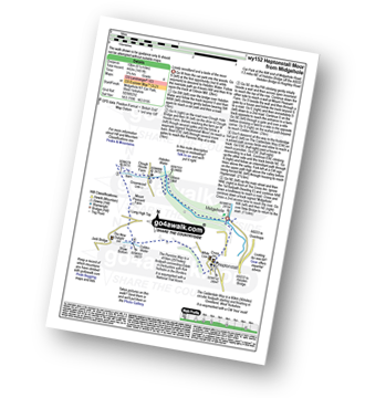
Route Summary:
Midgehole National Trust Car Park - Hebden Bridge - Hebden Water - Gibson Mill - Clough House Farm - Clough Head - The Pennine Way - Mount Pleasant Farm - Colden - Colden Water - The Calderdale Way - Helptonstall - Midgehole.

|
Vital Statistics:
| Length: | 5.25 miles (8.5 km) |
| Ascent: | 1,168ft (356m) |
| Time: | 2.25hrs |
| Grade: | |

Route Summary:
Midgehole National Trust Car Park - Hebden Bridge - Cromsworth Dean - Abel Cote - Lumb Hole Waterfall - Shackleton Knoll - Walshaw - Hardcastle Crags - Gibson Mill - Hebden Water - Midgehole.

|
Vital Statistics:
| Length: | 10.5 miles (17 km) |
| Ascent: | 1,900ft (579m) |
| Time: | 5.75hrs |
| Grade: | |
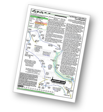
Route Summary:
Midgehole National Trust Car Park - Hebden Bridge - Hebden Water - Gibson Mill - Hardcastle Crags - Walshaw - New Laithe Moor Farm - Alcomden Water - Holme Ends Bridge - The Pennine Way - Widdop Reservoir - Well Hole Cottage - Graining Water - Gorple Cottage - Heptonstall Moor - Clough Head Hill - Mount Pleasant Farm - Colden - Colden Water - The Calderdale Way - Heptonstall - Midgehole.

|
Vital Statistics:
| Length: | 10.5 miles (17 km) |
| Ascent: | 1,975ft (602m) |
| Time: | 5.75hrs |
| Grade: | |

Route Summary:
Woodhead Tunnel - Middle Black Clough - Bleaklow Stones (Bleaklow Hill) - Bleaklow Head (Bleaklow Hill) - The Wain Stones (or Kissing Stones) - The Pennine Way - Clough Edge - The Longdendale Trail - Crowden - Woodhead Reservoir - Woodhead Tunnel

|
Vital Statistics:
| Length: | 13.25 miles (21 km) |
| Ascent: | 2,081ft (634m) |
| Time: | 7 hrs |
| Grade: |  |
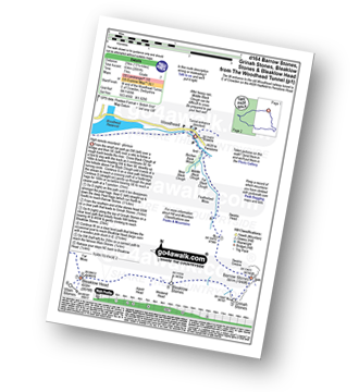
Route Summary:
Woodhead Tunnel - Far Black Clough - Swains Head - Swains Greave - Barrow Stones - Grinah Stones - Bleaklow Stones (Bleaklow Hill) - Bleaklow Head (Bleaklow Hill) - The Wain Stones (or Kissing Stones) - The Pennine Way - Joseph Patch - John Track Well - Torside Clough - Peaknaze Moor - Reaps Farm - The Longdendale Trail - Torside Reservoir - Woodhead Reservoir - Woodhead Tunnel

|
Vital Statistics:
| Length: | 9 miles (14.5 km) |
| Ascent: | 1,805ft (550m) |
| Time: | 5.25hrs |
| Grade: | |

Route Summary:
Wharfedale - Barden Bridge - The River Wharfe - Wharfedale - The Dales Way - The Strid. Strid Wood - Waterfall Cottage - Posforth Gill - Valley of Desolation - Laund Pasture Plantation - Smithyman Nook - Carncliff Top (Earl Seat) - Nanny Crag - Truckle Crags - Simon's Seat (Wharfedale) - Dalehead Farm - Eastwood Head - Howgill Lodge - The Dales Way - The River Wharfe - Barden Bridge - Wharfedale

|
Vital Statistics:
| Length: | 13.75 miles (22 km) |
| Ascent: | 2,660ft (811m) |
| Time: | 7½ hrs |
| Grade: | |
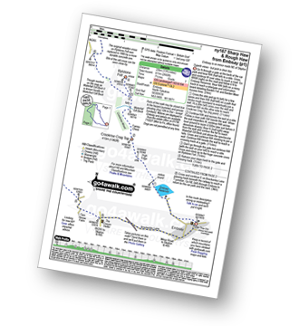
Route Summary:
Embsay - Embsay Reservoir - Embsay Moor - Crookrise Crag Top - Waterfall Gill Beck - Rylstone Fell - Rylstone Cross - Rylstone - Hetton - Flasby - Rough Haw - Sharp Haw - Embsay
Not familiar with the area around LS25?
See these 30 nearest walks to UK Postcode LS25 on a google map