Whiteside from Hopegill Head
The North Western Fells,
The Lake District National Park,
Cumbria, England
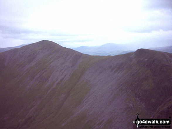
See views like this by using any of these 8 easy-to-follow circular walk route maps:

   |
Vital Statistics:
| Length: | 6.5 miles (10.5 km) |
| Ascent: | 2,573ft (784m) |
| Time: | 5 hrs |
| Grade: |  |
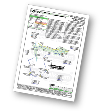
Route Summary:
Revelin Moss - Whinlatter Forest Park - Hobcarton End - Grisedale Pike - Hobcarton Crag - Hopegill Head - Ladyside Pike - Swinside Plantation - Whinlatter Pass - Hobcarton Plantation - Revelin Moss


|
Vital Statistics:
| Length: | 7.25 miles (11.5 km) |
| Ascent: | 3,180ft (969m) |
| Time: | 5.75hrs |
| Grade: | |

Route Summary:
Hopebeck - Hope Beck - Swinside (Whinlatter) - Hope Gill - Ladyside Pike - Hopegill Head - Hobcarton Crag - Grisedale Pike - Hopegill Head - Gasgale Crags - Whiteside (Crummock) - Whiteside (Crummock) (West Top) - Dodd (Whiteside) - Hopebeck

|
Vital Statistics:
| Length: | 7.25 miles (11.5 km) |
| Ascent: | 3,164ft (964m) |
| Time: | 5.75hrs |
| Grade: | |

Route Summary:
Lanthwaite Green - Liza Beck - Whin Ben - Whiteside (Crummock) (West Top) - Whiteside (Crummock) - Gasgale Crags - Hopegill Head - Hobcarton Crag - Sand Hill - Coledale Hause - Grasmoor - Liza Beck - Gasgale Gill - Lanthwaite

|
Vital Statistics:
| Length: | 8.5 miles (13.5 km) |
| Ascent: | 3,840ft (1,170m) |
| Time: | 7 hrs |
| Grade: |  |

Route Summary:
Braithwaite - Sleet How - Grisedale Pike - Hobcarton Crag - Hopegill Head - Sand Hill - Coldale Hause - Eel Crag - Crag Hill (Eel Crag) - Sail (Derwent Fells) - Long Comb - High Moss - Low Moss - Barrow Door - Braithwaite

|
Vital Statistics:
| Length: | 9 miles (14.5 km) |
| Ascent: | 3,699ft (1,127m) |
| Time: | 7 hrs |
| Grade: | |

Route Summary:
Lanthwaite Green - Liza Beck - Whin Ben - Whiteside (Crummock) (West Top) - Whiteside (Crummock) - Gasgale Crags - Hopegill Head - Hobcarton Crag - Sand Hill - Coledale Hause - Grasmoor - Wandope - Whiteless Edge - Whiteless Pike - Whiteless Breast - Squat Beck - High Rannerdale - Crummock Water - Lanthwaite Green

|
Vital Statistics:
| Length: | 9.75 miles (15.5 km) |
| Ascent: | 4,043ft (1,232m) |
| Time: | 7.75hrs |
| Grade: | |

Route Summary:
Lanthwaite Green - Liza Beck - Whin Ben - Whiteside (Crummock) (West Top) - Whiteside (Crummock) - Gasgale Crags - Hopegill Head - Sand Hill - Coledale Hause - Grasmoor - Wandope - Whiteless Edge - Whiteless Pike - Whiteless Breast - Low Bank - Rannerdale Knotts - Crummock Water - Hause Point - Lanthwaite Green

|
Vital Statistics:
| Length: | 10 miles (16 km) |
| Ascent: | 4,641ft (1,414m) |
| Time: | 8½ hrs |
| Grade: |  |
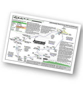
Route Summary:
Braithwaite - Sleet How - Grisedale Pike - Hobcarton Crag - Hopegill Head - Sand Hill - Coledale Hause - Crag Hill (Eel Crag) - Sail (Derwent Fells) - Scar Crags - Causey Pike - Outerside - Stile End - Barrow (Newlands) - Braithwaite

|
Vital Statistics:
| Length: | 12 miles (19 km) |
| Ascent: | 5,261ft (1,603m) |
| Time: | 9.75hrs |
| Grade: |  |

Route Summary:
Braithwaite - Sleet How - Grisedale Pike - Hobcarton Crag - Hopegill Head - Sand Hill - Coledale Hause - Grasmoor - Wandope - Crag Hill (Eel Crag) - Sail (Derwent Fells) - Scar Crags - Causey Pike - Outerside - Stile End - Barrow (Newlands) - Braithwaite
Send us your photographs and pictures of walks and hikes in the British countryside
If you would like to see your digital photographs as part of this collection, please send them as email attachments (configured for any computer) along with your name to:
and we shall do our best to publish them.
(Guide Resolution = 300dpi. At least = 587 pixels (wide) x 440 pixels (high).)

You can also submit photos via our Facebook Page.
NB. Please indicate where each photo was taken.
NB. To see photographs and pictures from a particular walk choose your walk from Walks or use our Walk Search facility.
To see photographs and pictures on, of or from a particular Mountain, Peak, Top or Hill select from Peaks & Mountains' or enter the Mountain, Peak, Top or Hill Name into our 'Photo Search facility.