Grasmoor
851m (2794ft)
The North Western Fells, The Lake District, Cumbria, England


Not familiar with this top?
You can walk/hike to the top of Grasmoor by using any of these 6 easy‑to‑follow route maps:

Walk c256 Grasmoor Ridge and Whiteless Pike from Lanthwaite Green
One for the scramblers
   |
|---|
Vital Statistics:
| Length: | 7ml (11km) |
|---|---|
| Ascent: | 3,243ft (988m) |
| Time: | 5.75hrs |
| Grade: |  (Moderate) (Moderate) |

Route Summary:
Lanthwaite Green - Grasmoor - Wandope - Whiteless Edge - Whiteless Pike - Whiteless Breast - Low Bank - Rannerdale Knotts - Crummock Water - Lanthwaite Green


Walk c246 Hopegill Head and Grasmoor from Lanthwaite Green
Superb views of Crummock Water
|
|---|
Vital Statistics:
| Length: | 7.25ml (11.5km) |
|---|---|
| Ascent: | 3,164ft (964m) |
| Time: | 5.75hrs |
| Grade: | (Moderate) |

Route Summary:
Lanthwaite Green - Liza Beck - Whin Ben - Whiteside (Crummock) (West Top) - Whiteside (Crummock) - Gasgale Crags - Hopegill Head - Hobcarton Crag - Sand Hill - Coledale Hause - Grasmoor - Liza Beck - Gasgale Gill - Lanthwaite

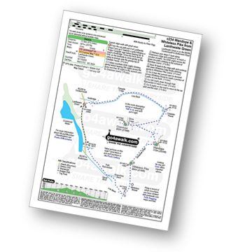
Walk c234 Grasmoor, Wandope and Whiteless Pike from Lanthwaite Green
Superb ridge walk with great views
|
|---|
Vital Statistics:
| Length: | 8.5ml (13.5km) |
|---|---|
| Ascent: | 2,977ft (907m) |
| Time: | 6 hrs |
| Grade: | (Moderate) |
Route Summary:
Lanthwaite Green - Liza Beck - Gasgale Crags - Gasgale Gill - Coledale Hause - Grasmoor - Wandope - Whiteless Edge - Whiteless Pike - Whiteless Breast - Squat Beck - High Rannerdale - Crummock Water - Lanthwaite Green

Walk c366 Grasmoor and Whiteless Pike from Lanthwaite Green
Superb ridge walk with great views
|
|---|
Vital Statistics:
| Length: | 9ml (14.5km) |
|---|---|
| Ascent: | 3,699ft (1,127m) |
| Time: | 7 hrs |
| Grade: |  (Hard) (Hard) |

Route Summary:
Lanthwaite Green - Liza Beck - Whin Ben - Whiteside (Crummock) (West Top) - Whiteside (Crummock) - Gasgale Crags - Hopegill Head - Hobcarton Crag - Sand Hill - Coledale Hause - Grasmoor - Wandope - Whiteless Edge - Whiteless Pike - Whiteless Breast - Squat Beck - High Rannerdale - Crummock Water - Lanthwaite Green

Walk c196 Grasmoor and Rannerdale Knotts from Lanthwaite Green
Superb ridge walk with great views
|
|---|
Vital Statistics:
| Length: | 9.75ml (15.5km) |
|---|---|
| Ascent: | 4,043ft (1,232m) |
| Time: | 7.75hrs |
| Grade: | (Hard) |

Route Summary:
Lanthwaite Green - Liza Beck - Whin Ben - Whiteside (Crummock) (West Top) - Whiteside (Crummock) - Gasgale Crags - Hopegill Head - Sand Hill - Coledale Hause - Grasmoor - Wandope - Whiteless Edge - Whiteless Pike - Whiteless Breast - Low Bank - Rannerdale Knotts - Crummock Water - Hause Point - Lanthwaite Green

Walk c310 The Coledale Horseshoe from Braithwaite
Superb round with fabulous views & variation
|
|---|
Vital Statistics:
| Length: | 12ml (19km) |
|---|---|
| Ascent: | 5,261ft (1,603m) |
| Time: | 9.75hrs |
| Grade: |  (Very Hard) (Very Hard) |

Route Summary:
Braithwaite - Sleet How - Grisedale Pike - Hobcarton Crag - Hopegill Head - Sand Hill - Coledale Hause - Grasmoor - Wandope - Crag Hill (Eel Crag) - Sail (Derwent Fells) - Scar Crags - Causey Pike - Outerside - Stile End - Barrow (Newlands) - Braithwaite
See Grasmoor and the surrounding tops on our free-to-access 'Google Style' Peak Bagging Maps:

The North Western Fells of The Lake District National Park
Less data - quicker to download
The Whole of The Lake District National Park
More data - might take a little longer to download
See Grasmoor and the surrounding tops on our unique, downloadable, PDF Peak Bagging Maps:

NB: Whether you print off a copy or download it to your phone, these PDF Peak Baggers' Maps might prove incredibly useful when your are up there on the tops and you cannot get a phone signal.
*This version is marked with the walk routes you need to follow to Walk all 214 Wainwrights in just 59 walks.
You can find Grasmoor & all the walks that climb it on these unique free-to-access Interactive Walk Planning Maps:
1:25,000 scale OS Explorer Map (orange/yellow covers):
1:50,000 scale OS Landranger Maps (pink/magenta covers):
 Fellow go4awalkers who have already walked, climbed, scaled, summited, hiked & bagged Grasmoor
Pete George walked up Grasmoor on August 30th, 2025 [from/via/route] Crummock Water [with] Roco [weather] Chilly on tops & slight rain
James Hughes climbed it on July 12th, 2025 [from/via/route] c196 Grasnoor & Rannerdale Knotts from Lanthwaite Green. [weather] Boi-ling... Got hotter as day progressed. Clear skies with big yellow disc. - Epic day. Started early (8amish). Steep ascent up Whiteside & pleasant ridge walk to Hopegill Head. Familiar descent off Sand Hill due to last walk before stopping & cooling in Liza Beck. Brief ascent to Grasmoor, stunning views both of Whiteside & towards Red Pike range. Direct down & up to Wandope. Impressive drop off. Returned to main path to Whiteless Pike & beginning to feel the heat. Tricky, steep & draining descent over Whiteless Breast for final climb of Rannerdale Knotts. Completely spent at this point & needed to summon all energy to climb & descend Rannerdale Knotts to edge of Crummock water. Hot but easier road walk with break in the shade. Finished with dip in beck near footbridge at start. Pint of Buttermere Beauty Lager at Kirkstile Inn.
Ian Ashton bagged it on April 27th, 2024 [with] Solo - Ì
Geoff Hand hiked Grasmoor on February 26th, 2024 [from/via/route] Walk c196,Walked up from Lanthwaite Green on the Banks of Crummock Water climbed Whiteside West Top then Whiteside.Then West to Hopegill Head, South to Sandside & then struck out Southwest to Grasmore.Retraced my steps uptowards Wandope, then SW to Whiteless Pike, continued SW past Whiteless Breast & onto Low Bank & upto Rannadale Knotts.Then North up the road & water shore back to the carpark. [weather] Sunny Intervals, warm in the sun. Windy at times - Excellent walk, very challenging after a long rest from walking. Great contrast between the big mountains (however very quiet) & the tranquil banks of Crummock Water.
Christine Shepherd summited on October 25th, 2007 [from/via/route] Walked from Lanthwaite Green using walk c256. [with] On my own [weather] Bright Autumn sunshine - My descent on this walk was very tentative as it was my first big walk after breaking three ribs when I tripped on the descent from Fairfield a month earlier. Climbed again from Lanthwaite Green via Whiteside 22.5.18 Climbed again on a stunning Autumn day 11.11.23 using walk c246. I enjoyed the walk down Liza beck for the most part though it is long & there are a few tricky bits. It was great to land back at the car without any road walking.
To add (or remove) your name and experiences on this page - Log On and edit your Personal Mountain Bagging Record
. . . [see more walk reports]
More Photographs & Pictures of views from, on, or of, Grasmoor

High Stile (left), Buttermere, Grasmoor and Fleetwith Pike (right) from near the top of Warnscale Beck
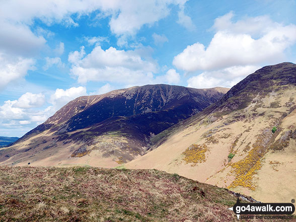

Crummock Water and Buttermere with Grasmoor beyond from Hay Stacks (Haystacks)
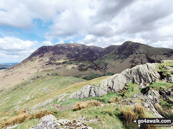
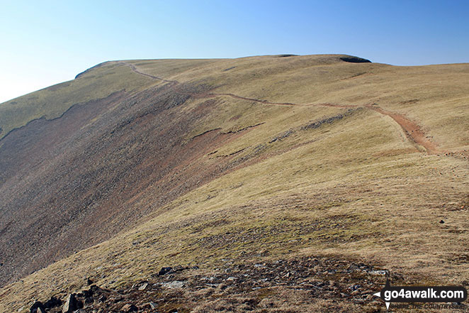
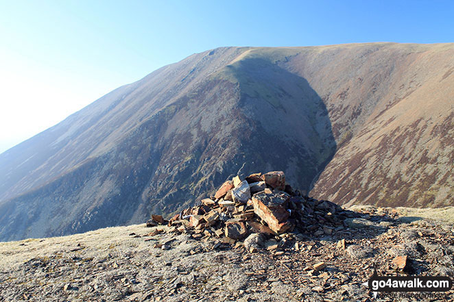
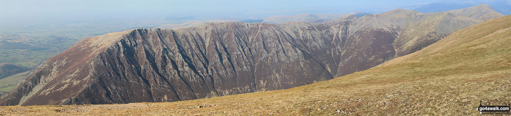
Whiteside (Crummock) (West Top), Whiteside (Crummock), Hopegill Head and Gasgill Crags from Grasmoor

Looking down Lorton Vale from Graystones featuring Whiteside and Grasmoor (left - in mist) and Mellbreak (centre)
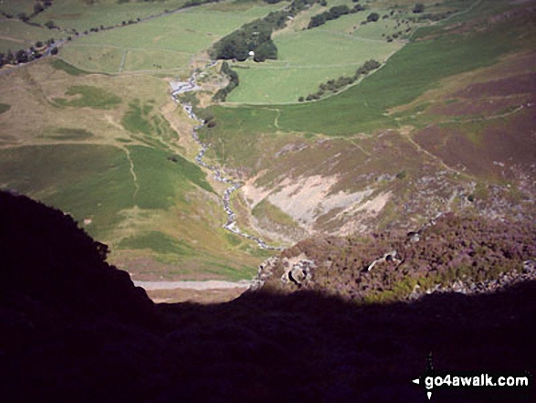

Mellbreak, Crummock Water and Grasmoor from the summit of Red Pike (Buttermere)
. . . see all 67 walk photographs & pictures of views from, on, or of, Grasmoor
Send us your photographs and pictures on, of, or from Grasmoor
If you would like to add your walk photographs and pictures to this page, please send them as email attachments (configured for any computer) along with your name to:
and we shall do our best to publish them.
(Guide Resolution = 300dpi. At least = 660pixels (wide) x 440 pixels (high).)

You can also submit photos via our Facebook Page.
NB. Please indicate where each photo was taken and whether you wish us to credit your photos with a Username or your First Name/Last Name.