Archy Styrigg (Gregory Chapel)
695m (2280ft)
The Northern Dales Area, The Yorkshire Dales, Cumbria/North Yorkshire, England
Tap/mouse over a coloured circle (1-3 easy walks, 4-6 moderate walks, 7-9 hard walks) and click to select.
Not familiar with this top?
See Archy Styrigg (Gregory Chapel) and the surrounding tops on our free-to-access 'Google Style' Peak Bagging Maps:
The Northern Dales Area of The Yorkshire Dales National Park
Less data - quicker to download
The Whole of The Yorkshire Dales National Park
More data - might take a little longer to download
See Archy Styrigg (Gregory Chapel) and the surrounding tops on our downloadable Peak Bagging Map in PDF format:
NB: Whether you print off a copy or download it to your phone, this PDF Peak Baggers' Map might prove incredibly useful when your are up there on the tops and you cannot get a phone signal.
You can find Archy Styrigg (Gregory Chapel) & all the walks that climb it on these unique free-to-access Interactive Walk Planning Maps:
1:25,000 scale OS Explorer Map (orange/yellow covers):
1:50,000 scale OS Landranger Maps (pink/magenta covers):
 Fellow go4awalkers who have already walked, climbed, summited & bagged Archy Styrigg (Gregory Chapel)
Angela Moroney walked up Archy Styrigg (Gregory Chapel) on April 1st, 2021 [from/via/route] Outhwaite [with] Jane ludders [weather] rain wind sun
David Congreave climbed it on January 6th, 2018 [from/via/route] Outhgill [with] Andy W [weather] Snow & wind but not too cold. - Route back down Mallerstang very tricky in the snow. Couldn't find the miner's track & ended up shuffling down some very steep sections. Not ideal. The map might need looking at.
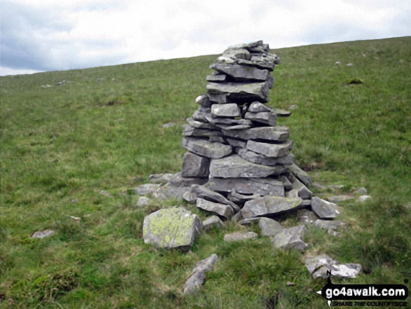
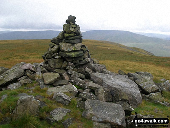
Kevin Foster bagged it on August 23rd, 2017 [from/via/route] High Seat [with] By myself [weather] Sunny - Continuing along the broad ridge there was a very clear path down then up an easy grassy slope to the wonderfully named Archy Styrigg or the equally wonderful local name Gregory's Chapel. The highest point is marked by a small cairn just to the North of the large pile of stones. The views West across Mallerstang to Wild Boar Fell & Swarth Fell were very impressive.
Mark Davidson hiked Archy Styrigg (Gregory Chapel) on August 14th, 2008 [with] Mike [weather] Bit grey, dull & misty
Tony Rogerson summited on June 4th, 2016 [from/via/route] The Thrang Outhgill High Seat Gregory's Chapel Hugh Seat Old Road [with] Darren Floss Robbie Ruby [weather] Sunny valley cloud on tops - STEEP climb up to High Seat
Darren Mortimer conquered it on December 6th, 2014 [from/via/route] Outhgill [with] Dermot Palmer [weather] Cold & wet & misty - This is a great walk (c388) but not much fun in the mist. Navigational skills & a good sat nav are essential when the weather is bad as it was for me. Also very tricky leaving High Seat & traveling over Mallerstang Crags when the ground is wet.
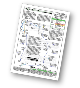
Christine Shepherd scaled it on June 16th, 2014 [from/via/route] Walked from Outhgill using walk c388 [with] On my own [weather] White cloud with a light breeze. - Great views
Iain Taylor walked up Archy Styrigg (Gregory Chapel) on April 5th, 2012 [from/via/route] Outhgill
Ray O'hara has climbed it [from/via/route] C388 [weather] Dry & below the cloud base. Full blown electrical storm just to the East over Rogan's Seat though. Somehow it managed to not come my way. - The whole route from Hell's Gill Bridge up to Little Fell & along the ridge to High Seat (Mallerstang) was extremely boggy. The views are good though. Best saved for a day when the ground is frozen or at the end of a very long drought.
Patrick Rogozinski, Matthew Thomas, Paul Booth and Trevor Williams have all walked, climbed & bagged Archy Styrigg (Gregory Chapel).
To add (or remove) your name and experiences on this page - Log On and edit your Personal Mountain Bagging Record
More Photographs & Pictures of views from, on or of Archy Styrigg (Gregory Chapel)
Mallerstang Edge, High Seat (Mallerstang), Archy Styrigg (Gregory Chapel), Hugh Seat, Little Fell (Lunds Fell) (Mallerstang) and Mallerstang Common from Swarth Fell in the snow
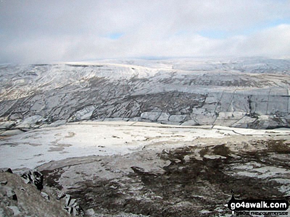
Mallerstang Edge, High Seat (Mallerstang), Archy Styrigg (Gregory Chapel) and Hugh Seat across Mallerstang Common from Wild Boar Fell in the snow
Send us your photographs and pictures on, of, or from Archy Styrigg (Gregory Chapel)
If you would like to add your walk photographs and pictures to this page, please send them as email attachments (configured for any computer) along with your name to:
and we shall do our best to publish them.
(Guide Resolution = 300dpi. At least = 660pixels (wide) x 440 pixels (high).)
You can also submit photos via our Facebook Page.
NB. Please indicate where each photo was taken and whether you wish us to credit your photos with a Username or your First Name/Last Name.
 (Moderate)
 (Moderate)