
![]()
The Roaches
505m (1657ft)
The White Peak Area, The Peak District, Staffordshire, England
Tap/mouse over a coloured circle (1-3 easy walks, 4-6 moderate walks, 7-9 hard walks) and click to select.
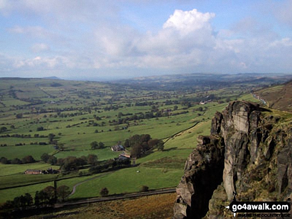
The summit of The Roaches is marked by an Ordnance Survey Trig Point.

Not familiar with this top?
You can walk/hike to the top of The Roaches by using any of these 8 easy‑to‑follow route maps:
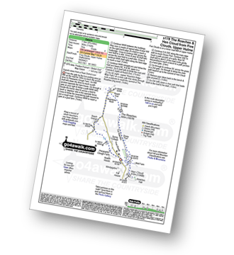
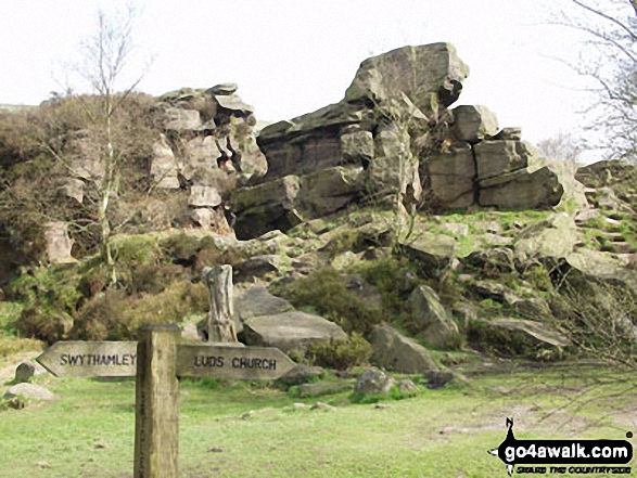
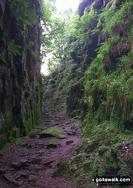
Walk s122 Lud's Church and The Roaches from Roach End
The 'easiest' way to Lud's Church & The Roaches
   |
|---|
Vital Statistics:
| Length: | 3.25mls (5km) |
|---|---|
| Ascent: | 778ft (237m) |
| Time: | 2 hrs |
| Grade: |  (Easy) (Easy) |

Route Summary:
Roach End - Back Forest - Forest Wood - Lud's Church - Roach End - The Roaches - Roach End
Walk s104 The Roaches from Five Clouds, Upper Hulme
The 'easiest' way to walk The Roaches
|
|---|
Vital Statistics:
| Length: | 3.75mls (6km) |
|---|---|
| Ascent: | 775ft (236m) |
| Time: | 2.25hrs |
| Grade: |  (Easy) (Easy) |

Route Summary:
Five Clouds - Upper Hulme - Rockhall - Doxey Pool - The Roaches - Roach End - Spring Cottage - Five Clouds - Upper Hulme
Walk s178 The Roaches and Hen Cloud from Five Clouds, Upper Hulme
Superb views from a Peak District Icon
|
|---|
Vital Statistics:
| Length: | 4.75ml (7.5km) |
|---|---|
| Ascent: | 1,182ft (360m) |
| Time: | 3 hrs |
| Grade: |  (Moderate) (Moderate) |
Route Summary:
Five Clouds - Pheasants Clough Farm - Roach Grange - Roach End - Bearstone Rock - The Roaches - Doxey Pool - Rockhall - Hen Cloud - Rockhall - Five Clouds
Walk s131 Lud's Church and The Roaches from Gradbach
Iconic Lud's Church and huge views
|
|---|
Vital Statistics:
| Length: | 5mls (8km) |
|---|---|
| Ascent: | 1,306ft (398m) |
| Time: | 3.25hrs |
| Grade: | (Moderate) |

Route Summary:
Gradbach - The Dane Valley Way - Gradbach Youth Hostel - The River Dane - Black Brook - Forest Wood - Lud's Church - Back Forest - Roach End - The Roaches - Roach End - Forest Wood - Black Brook - The River Dane - Gradbach Youth Hostel - The Dane Valley Way - Gradbach
Walk s161 The Roaches and Lud's Church from Five Clouds, Upper Hulme
The easiest way to The Roaches and Lud's Church
|
|---|
Vital Statistics:
| Length: | 6ml (9.5km) |
|---|---|
| Ascent: | 1,234ft (376m) |
| Time: | 3½ hrs |
| Grade: | (Moderate) |

Route Summary:
Five Clouds - Upper Hulme - Rockhall - The Roaches - Roach End - Back Forest - Lud's Church - Rock Chasm - Forest Wood - Roach End - Spring Cottage - Five Clouds - Upper Hulme
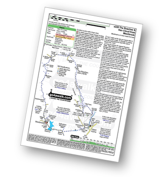
Walk s228 The Roaches and Hen Cloud from Meerbrook
Excellent country walk to huge views
|
|---|
Vital Statistics:
| Length: | 8.25ml (13km) |
|---|---|
| Ascent: | 1,490ft (454m) |
| Time: | 4½ hrs |
| Grade: |  (Moderate) (Moderate) |
Route Summary:
Meerbrook - Lea End - Stockmeadows Farm - Meadows Farm - Buxton Brow Farm - Clough Head - Roach End - Bearstone Rock - The Roaches - Doxey Pool - Rockhall - Hen Cloud - Rockhall - Well Farm - Dains Mill - Upper Hulme - Butty Fold Farm - Tittesworth Reservoir - Meerbrook
Walk s221 Gib Tor, The Roaches and Hen Cloud from Upper Hulme
A high moorland walk with fabulous views
|
|---|
Vital Statistics:
| Length: | 9ml (14.5km) |
|---|---|
| Ascent: | 1,795ft (547m) |
| Time: | 5 hrs |
| Grade: |  (Moderate) (Moderate) |

Route Summary:
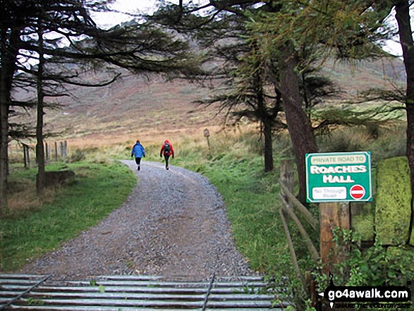
Upper Hulme - Dains Mill - Blue Hills - Black Brook Nature Reserve - Gib Torr Rocks - Moss Top - Moss End Farm - Black Brook - Roach End - The Roaches - Rockhall - Hen Cloud - Roaches Hall - Upper Hulme
Walk s116 The Roaches, Hen Cloud, Meerbrook and Lud's Church from Gradbach
Superb views and an ancient religious site
|
|---|
Vital Statistics:
| Length: | 11.5mls (18.5km) |
|---|---|
| Ascent: | 2,274ft (693m) |
| Time: | 6½ hrs |
| Grade: | (Moderate) |

Route Summary:
Gradbach - The Dane Valley Way - Gradbach Youth Hostel - Black Brook - Forest Wood - Roach End - The Roaches - Doxey Pool - Rockhall - Hen Cloud - Well Farm - Dains Mill - Upper Hulme - Butty Fold Farm - Staffordshire Moorlands Walk - Tittesworth Reservoir - Meerbrook - Stockmeadows Farm - Meadows Farm - Buxton Brow - Clough Head - Back Forest - Lud's Church - Rock Chasm - Black Brook - Gradbach Youth Hostel - The Dane Valley Way - Gradbach
See The Roaches and the surrounding tops on our free-to-access 'Google Style' Peak Bagging Maps:
The White Peak Area of The Peak District National Park
Less data - quicker to download
See The Roaches and the surrounding tops on our unique, downloadable, PDF Peak Bagging Map:

NB: Whether you print off a copy or download it to your phone, this PDF Peak Baggers' Map might prove incredibly useful when your are up there on the tops and you cannot get a phone signal.
You can find The Roaches & all the walks that climb it on these unique free-to-access Interactive Walk Planning Maps:
1:25,000 scale OS Explorer Map (orange/yellow covers):
1:50,000 scale OS Landranger Map (pink/magenta covers):
 Fellow go4awalkers who have already walked, climbed, scaled, summited, hiked & bagged The Roaches
Ruth Mcfarlane walked up The Roaches during September, 2013 [from/via/route] Leek [with] Will
Wendy Nield climbed it on May 27th, 2021 [from/via/route] 6.5 mile circular walk from Gradbach Mill car park. [with] Hillbilly Baggers [weather] Cloudy with sunny spells - Saw a Buzzard, House Martins & Skylarks & heard a cuckoo.
Dave Gay bagged it on July 18th, 2020 [from/via/route] Parked by Paddock Farm, climbed Hen Cloud via the Roaches House then followed the ridge to the trig point on The Roaches. Completed the walk with a trip to Luds Church. [with] Sean H [weather] Wet
Darin Torrance hiked The Roaches on January 12th, 2020 [from/via/route] Visitor Center [weather] Cold wet - Easy walk
Lucy Perchard summited on April 1st, 2017 [from/via/route] Starting at Heaton & via Gun on the 20 mile route for the Three Shires Challenge Walk [with] Tony, Mike and Calvin [weather] misty to start (so no view from the top of the Roaches :( wet until Three Shires Head & then sunny spells after that - Will go back as despite the weather the walk was great
To add (or remove) your name and experiences on this page - Log On and edit your Personal Mountain Bagging Record
. . . [see more walk reports]
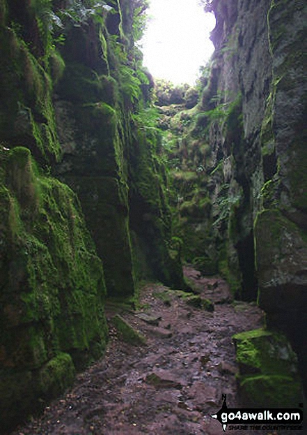
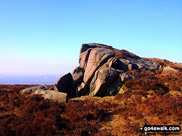
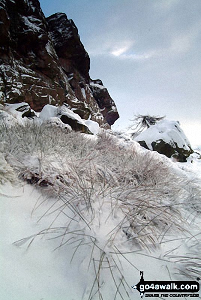
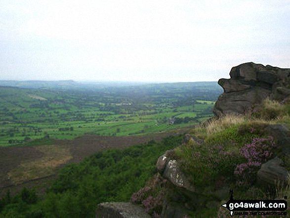
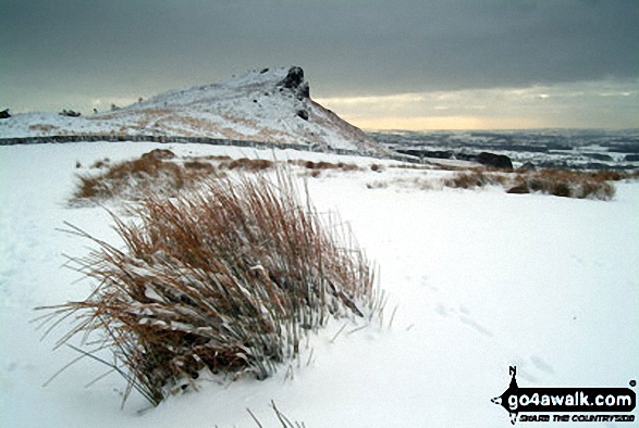
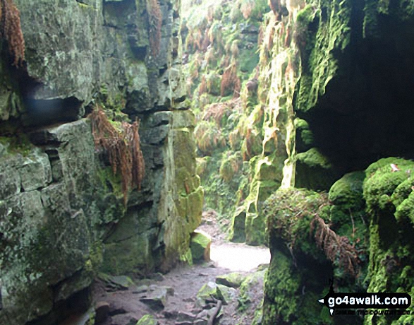
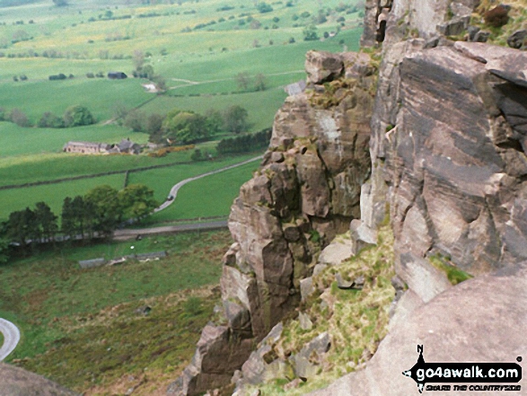
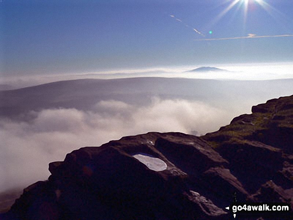
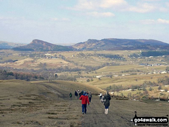
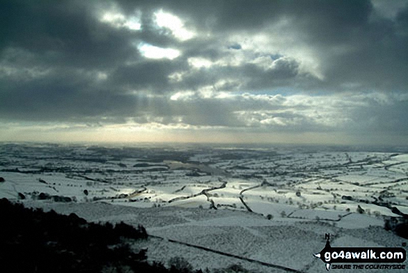
More Photographs & Pictures of views from, on, or of, The Roaches

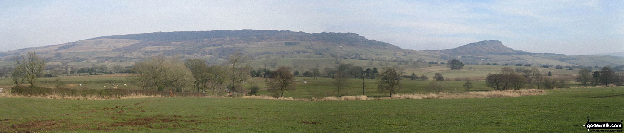


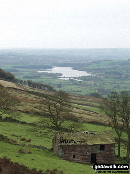


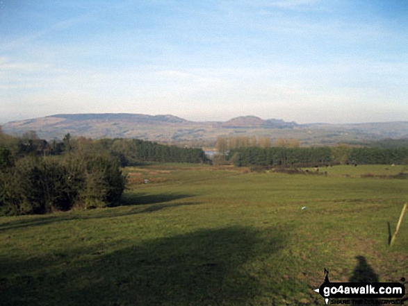


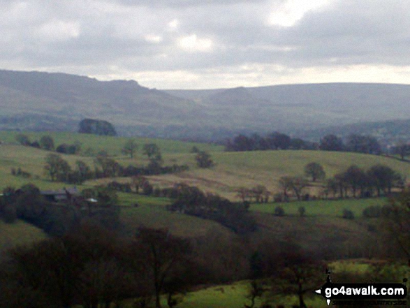
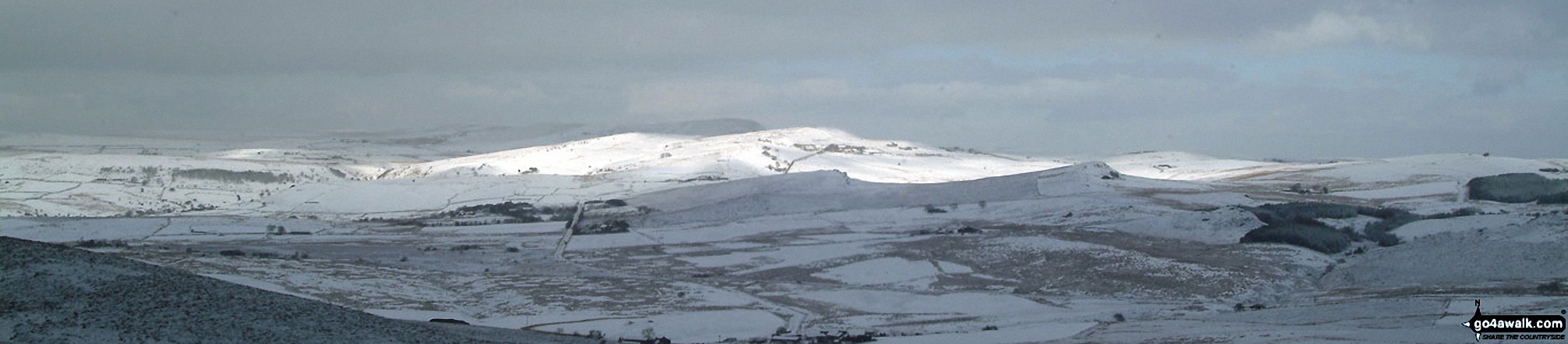
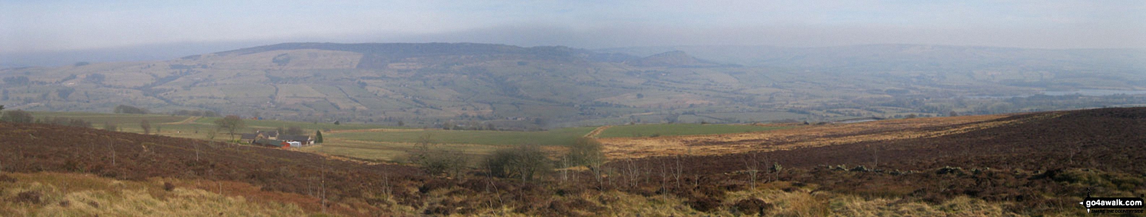
The Roaches, Hen Cloud and the Staffordshire Moorlands from the Gritstone Trail on Wincle Minn

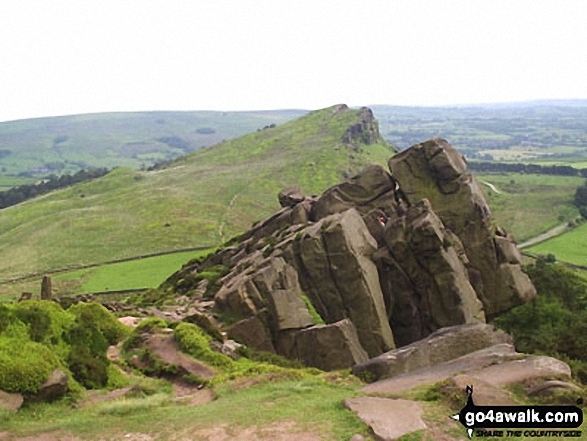
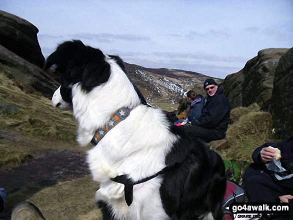
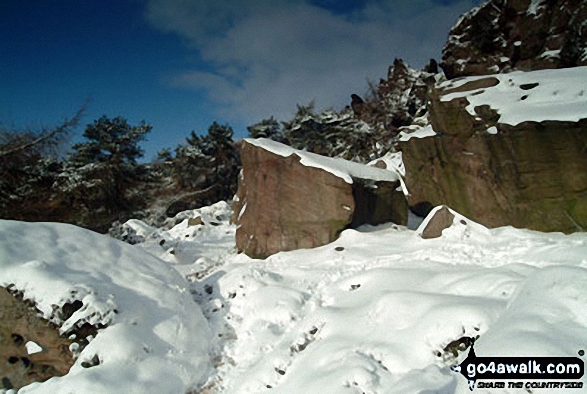

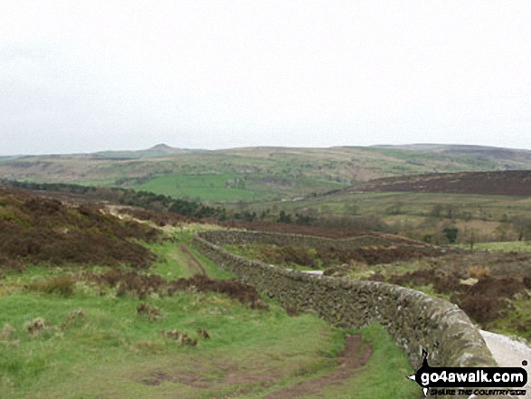
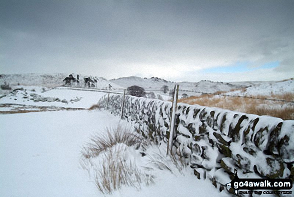

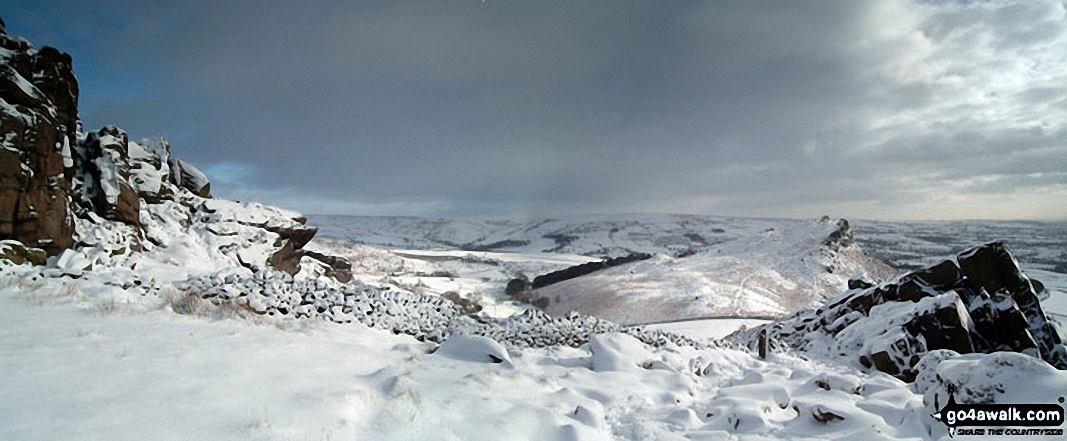
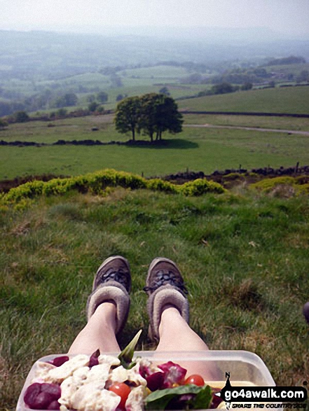

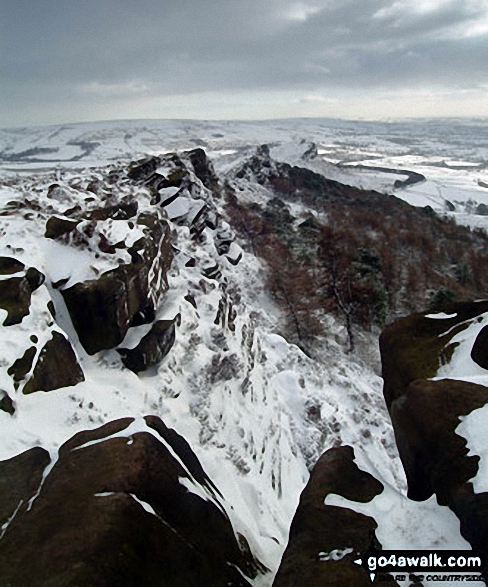
. . . see just 10 walk photographs & pictures of views from, on, or of, The Roaches
Send us your photographs and pictures on, of, or from The Roaches
If you would like to add your walk photographs and pictures to this page, please send them as email attachments (configured for any computer) along with your name to:
and we shall do our best to publish them.
(Guide Resolution = 300dpi. At least = 660pixels (wide) x 440 pixels (high).)

You can also submit photos via our Facebook Page.
NB. Please indicate where each photo was taken and whether you wish us to credit your photos with a Username or your First Name/Last Name.


