Shining Tor from nr The Roaches
The White Peak Area,
The Peak District National Park,
Staffordshire, England
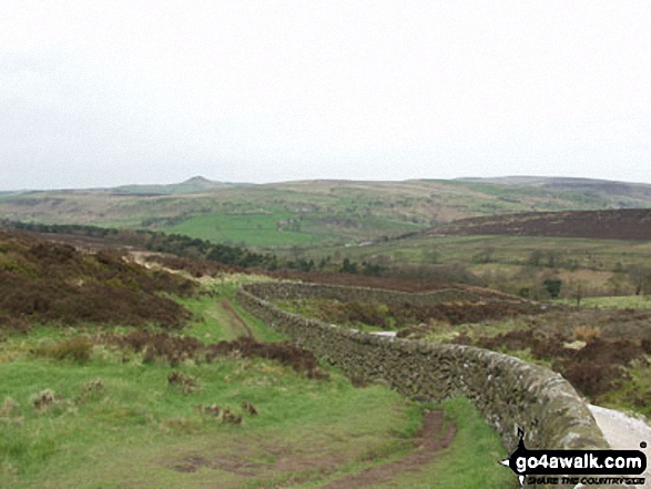
See views like this by using any of these 8 easy-to-follow circular walk route maps:

   |
Vital Statistics:
| Length: | 3.25 miles (5 km) |
| Ascent: | 778ft (237m) |
| Time: | 2 hrs |
| Grade: |  |

Route Summary:
Roach End - Back Forest - Forest Wood - Lud's Church - Roach End - The Roaches - Roach End


|
Vital Statistics:
| Length: | 3.75 miles (6 km) |
| Ascent: | 775ft (236m) |
| Time: | 2.25hrs |
| Grade: |  |
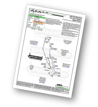
Route Summary:
Five Clouds - Upper Hulme - Rockhall - Doxey Pool - The Roaches - Roach End - Spring Cottage - Five Clouds - Upper Hulme

|
Vital Statistics:
| Length: | 6 miles (9.5 km) |
| Ascent: | 1,234ft (376m) |
| Time: | 3½ hrs |
| Grade: |  |

Route Summary:
Five Clouds - Upper Hulme - Rockhall - The Roaches - Roach End - Back Forest - Lud's Church - Rock Chasm - Forest Wood - Roach End - Spring Cottage - Five Clouds - Upper Hulme

|
Vital Statistics:
| Length: | 4.75 miles (7.5 km) |
| Ascent: | 1,182ft (360m) |
| Time: | 3 hrs |
| Grade: | |
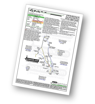
Route Summary:
Five Clouds - Pheasants Clough Farm - Roach Grange - Roach End - Bearstone Rock - The Roaches - Doxey Pool - Rockhall - Hen Cloud - Rockhall - Five Clouds

|
Vital Statistics:
| Length: | 5 miles (8 km) |
| Ascent: | 1,306ft (398m) |
| Time: | 3.25hrs |
| Grade: | |

Route Summary:
Gradbach - The Dane Valley Way - Gradbach Youth Hostel - The River Dane - Black Brook - Forest Wood - Lud's Church - Back Forest - Roach End - The Roaches - Roach End - Forest Wood - Black Brook - The River Dane - Gradbach Youth Hostel - The Dane Valley Way - Gradbach

|
Vital Statistics:
| Length: | 8.25 miles (13 km) |
| Ascent: | 1,490ft (454m) |
| Time: | 4½ hrs |
| Grade: |  |
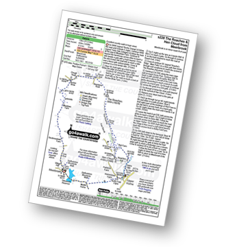
Route Summary:
Meerbrook - Lea End - Stockmeadows Farm - Meadows Farm - Buxton Brow Farm - Clough Head - Roach End - Bearstone Rock - The Roaches - Doxey Pool - Rockhall - Hen Cloud - Rockhall - Well Farm - Dains Mill - Upper Hulme - Butty Fold Farm - Tittesworth Reservoir - Meerbrook

|
Vital Statistics:
| Length: | 9 miles (14.5 km) |
| Ascent: | 1,795ft (547m) |
| Time: | 5 hrs |
| Grade: |  |

Route Summary:
Upper Hulme - Dains Mill - Blue Hills - Black Brook Nature Reserve - Gib Torr Rocks - Moss Top - Moss End Farm - Black Brook - Roach End - The Roaches - Rockhall - Hen Cloud - Roaches Hall - Upper Hulme

|
Vital Statistics:
| Length: | 11.5 miles (18.5 km) |
| Ascent: | 2,274ft (693m) |
| Time: | 6½ hrs |
| Grade: | |

Route Summary:
Gradbach - The Dane Valley Way - Gradbach Youth Hostel - Black Brook - Forest Wood - Roach End - The Roaches - Doxey Pool - Rockhall - Hen Cloud - Well Farm - Dains Mill - Upper Hulme - Butty Fold Farm - Staffordshire Moorlands Walk - Tittesworth Reservoir - Meerbrook - Stockmeadows Farm - Meadows Farm - Buxton Brow - Clough Head - Back Forest - Lud's Church - Rock Chasm - Black Brook - Gradbach Youth Hostel - The Dane Valley Way - Gradbach
Send us your photographs and pictures of walks and hikes in the British countryside
If you would like to see your digital photographs as part of this collection, please send them as email attachments (configured for any computer) along with your name to:
and we shall do our best to publish them.
(Guide Resolution = 300dpi. At least = 587 pixels (wide) x 440 pixels (high).)

You can also submit photos via our Facebook Page.
NB. Please indicate where each photo was taken.
NB. To see photographs and pictures from a particular walk choose your walk from Walks or use our Walk Search facility.
To see photographs and pictures on, of or from a particular Mountain, Peak, Top or Hill select from Peaks & Mountains' or enter the Mountain, Peak, Top or Hill Name into our 'Photo Search facility.