|
Vital Statistics:
| Length: | 14½mls (23km) |
| Ascent: | 5,409ft (1,648m) |
| Time: | 11hrs |
| Grade: |  |

Route outline for walk c459:
Hawes End - Derwent Water - Skelgill Bank - Woodford's Path - Cat Bells (Catbells) - Maiden Moor - High Spy (North Top) - High Spy - Dalehead Tarn - Dale Head (Newlands) - Hindscarth - Littledale Edge - Robinson - High Snockrigg - Moss Force - Newlands Hause - Knott Rigg - Ard Crags - Birkrigg - Keskerdale Beck - Newlands Church - Newlands Beck - Little Town - Skelgill Farm - Hawes End Derwent Water.


Peaks, Summits and Tops reached on this walk:
 4 English Mountains |
 8 Wainwrights |
 5 English Nuttalls |
 3 English Deweys |
 0 Wainwright Outlying Fells |
 2 Marilyns |
 0 Bridgets |
Peak Bagging Statistics for this walk:
The highest point of this walk is Dale Head (Newlands) at 753m (2471ft). Dale Head (Newlands) is classified as an English Mountain (Hewitt) (68th highest in England, 117th highest in England & Wales) and a Wainwright (No. 63).
Dale Head (Newlands) is also known as an English Nuttall (84th highest in England, 144th highest in England & Wales) and an English Marilyn (21st highest in England, 477th highest in the UK).
Completing this walk will also take you to the top of Robinson at 737m (2419ft). Robinson is classified as an English Mountain (Hewitt) (74th highest in England, 129th highest in England & Wales) and a Wainwright (No. 67).
Robinson is also known as an English Nuttall (93rd highest in England, 160th highest in England & Wales) and an English Marilyn (23rd highest in England, 508th highest in the UK).
You will also reach the summit of Hindscarth at 727m (2386ft). Hindscarth is classified as an English Mountain (Hewitt) (81st highest in England, 139th highest in England & Wales) and a Wainwright (No. 73).
Hindscarth is also known as an English Nuttall (102nd highest in England, 173rd highest in England & Wales).
Along the way you will also bag:
- High Spy at 653m (2143ft). High Spy is classified as an English Mountain (Hewitt) (141st highest in England, 243rd highest in England & Wales), a Wainwright (No. 113) and an English Nuttall (189th highest in England, 326th highest in England & Wales).
- High Spy (North Top) at 634m (2081ft). High Spy (North Top) is known as an English Nuttall (209th highest in England, 359th highest in England & Wales).
- Ard Crags at 581m (1906ft). Ard Crags is classified as a Wainwright (No. 136) and an English Dewey (29th highest in England, 68th highest in England & Wales)
- Maiden Moor at 575m (1887ft). Maiden Moor is classified as a Wainwright (No. 138)
- Knott Rigg at 556m (1825ft). Knott Rigg is classified as a Wainwright (No. 145) and an English Dewey (59th highest in England, 136th highest in England & Wales)
- High Snockrigg at 526m (1726ft). High Snockrigg is classified as an English Dewey (121st highest in England, 282nd highest in England & Wales).
- Cat Bells (Catbells) at 451m (1480ft). Cat Bells (Catbells) is classified as a Wainwright (No. 189)
You can find this walk and other nearby walks on these unique free-to-access Interactive Walk Planning Maps:
1:25,000 scale OS Explorer Map (orange/yellow covers):
1:50,000 scale OS Landranger Maps (pink/magenta covers):
Some Photos and Pictures from Walk c459 The Greater Newlands Horseshoe from Hawes End
In no particular order . . .


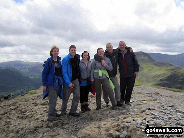
Me with friends (Dave, Hannah, Verne, Ali & Pete) on top of Cat Bells (Catbells)


Great Gable (mid-distance right) with The Scafell Massif beyond with Esk Pike (left) and Bow Fell (Bowfell) (far left) from Littledale Edge
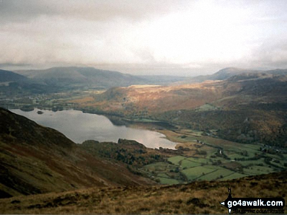


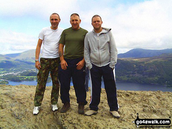
Me and my mates on top of Cat Bells (Catbells) with Derwent Water in the background
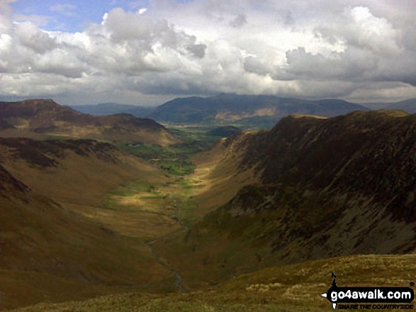

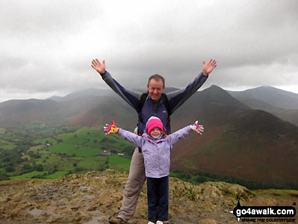
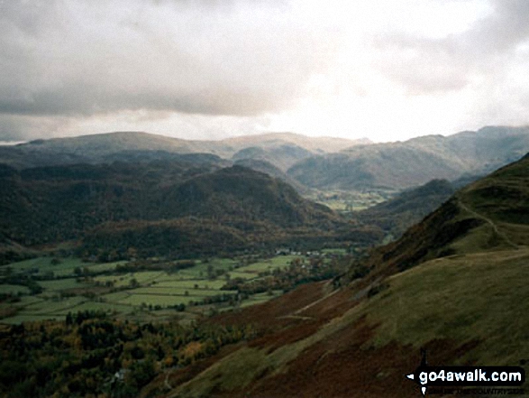

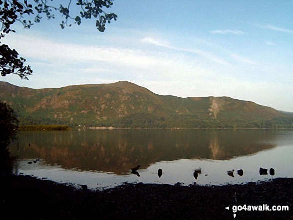
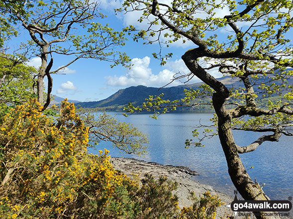
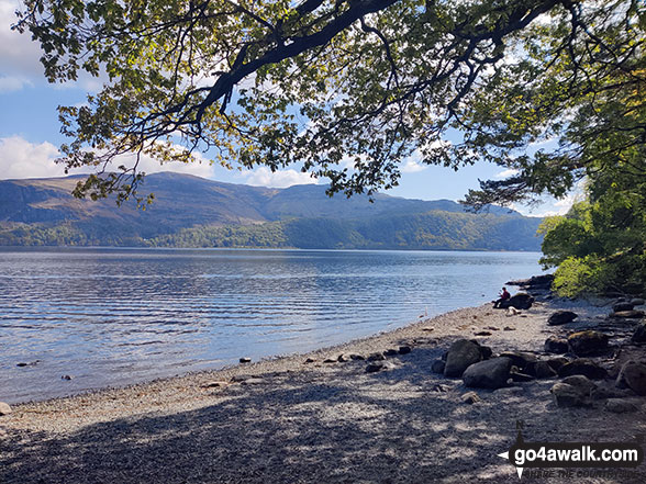
Cat Bells (Catbells) from near Barrow Bay on the Eastern shore of Derwent Water
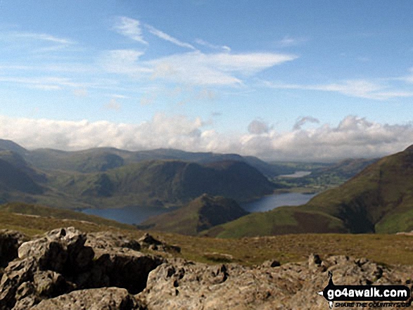
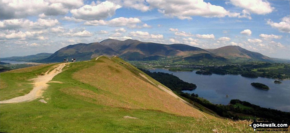
Bassenthwaite Lake (far left), Skiddaw (left), Blencathra (or Saddleback) (right), Keswick and Derwent Water from Cat Bells (Catbells)
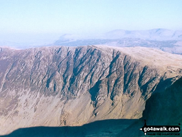
. . . load all 158 walk photos from Walk c459 The Greater Newlands Horseshoe from Hawes End
Send us your photographs and pictures from your walks and hikes
We would love to see your photographs and pictures from walk c459 The Greater Newlands Horseshoe from Hawes End. Send them in to us as email attachments (configured for any computer) along with your name and where the picture was taken to:
and we shall do our best to publish them.
(Guide Resolution = 300dpi. At least = 660 pixels (wide) x 440 pixels (high).)

You can also submit photos from walk c459 The Greater Newlands Horseshoe from Hawes End via our Facebook Page.
NB. Please indicate where each photo was taken.