   |
Vital Statistics:
| Length: | 9mls (14.5km) |
| Ascent: | 3,236ft (986m) |
| Time: | 6¾hrs |
| Grade: |  |

Route outline for walk c454:
Seathwaite (Borrowdale) - Grains Gill - Stockley Bridge - Styhead Gill - Styhead Tarn - Sty Head - The Corridor Route - Skew Gill - Greta Gill - Piers Gill - Scafell Pike - The Corridor Route - Sty Head - Stockley Bridge - Seathwaite (Borrowdale)


Points of Interest/Notes on this walk:
In good weather you can see mountains in Wales, Ireland, Scotland and the Isle of Man from the summit of Scafell Pike so try and go in on a clear day.
At an elevation of 832m (2,731ft), Broad Crag Tarn is the highest body of standing water in England. It can be found approximately 420 m south west of the summit of Scafell Pike.
Peaks, Summits and Tops reached on this walk:
 1 English Mountain |
 1 Wainwright |
 1 English Nuttall |
 0 English Deweys |
 0 Wainwright Outlying Fells |
 1 Marilyn |
 0 Bridgets |
Peak Bagging Statistics for this walk:
The highest point of this walk is Scafell Pike at 978m (3210ft). Scafell Pike is classified as an English Mountain (Hewitt) (1st highest in England, 8th highest in England & Wales) and a Wainwright (No. 1).
Scafell Pike is also known as an English Nuttall (1st highest in England, 8th highest in England & Wales) and an English Marilyn (1st highest in England, 138th highest in the UK).
Scafell Pike means 'the highest point of 'The Pikes of Sca Fell'. This was the collective term for all the lumps and bumps on the top of the Sca Fell Massif (namely Sca Fell Pike, Sca Fell, Symonds Knott, Broad Crag, Ill Crag and Great End) when it was donated to The National Trust by Lord Leconfield in 1919. Sca Fell Pike became Scafell Pike (without the space) due to an error by the Ordnance Survey and the name stuck.' and is pronounced 'Though Scafell Pike is usually pronounced 'Skar Fell Pyke', the Lake District locals pronounce it 'SKOR-fall Pyke' with the emphasis on the first syllable. Indeed, many older texts spell it 'Skawfell Pike'.
The summit of Scafell Pike is marked by an Ordnance Survey Trig Point. Scafell Pike is the highest point in the county of Cumbria, the highest point in The Lake District National Park and the highest point in England. It was also the highest point in the old county of Cumberland.
You can find this walk and other nearby walks on these unique free-to-access Interactive Walk Planning Maps:
1:25,000 scale OS Explorer Maps (orange/yellow covers):
1:50,000 scale OS Landranger Maps (pink/magenta covers):
Some Photos and Pictures from Walk c454 Scafell Pike via The Corridor Route from Seathwaite (Borrowdale)
In no particular order . . .
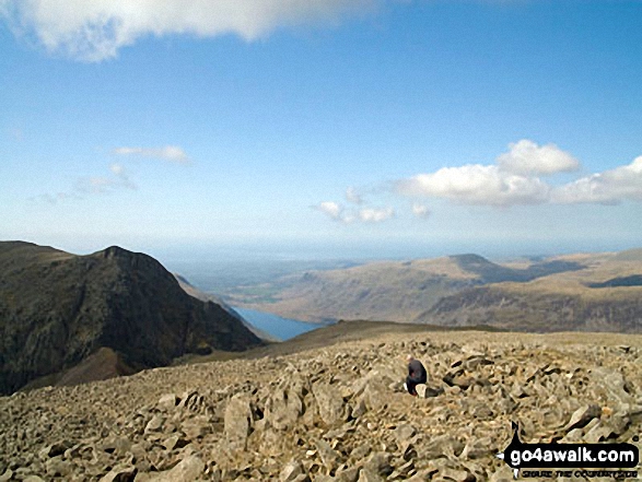
Lone fell walker on Scafell Pike with Symonds Knott and Sca Fell (left), Wast Water and Seatallen (right) beyond
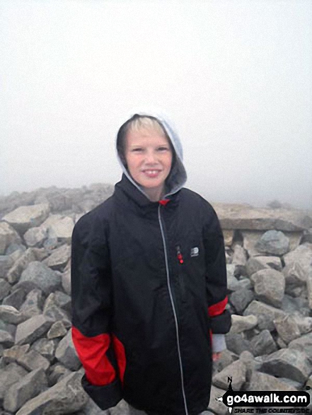
My son on his first boys mountain climb up Scafell Pike with his Dad and Grandad

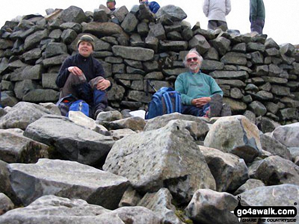
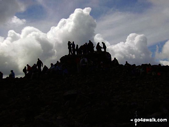
Me and my Dad, having a well earned rest at the top of Scafell Pike having completed all three peaks in the UK National Three Peaks Challenge.
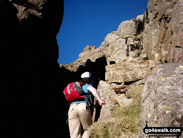
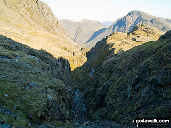
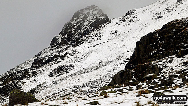
Piers Gill with Lingmell (near left) and Kirk Fell (centre) and Great Gable (right) on the horizon
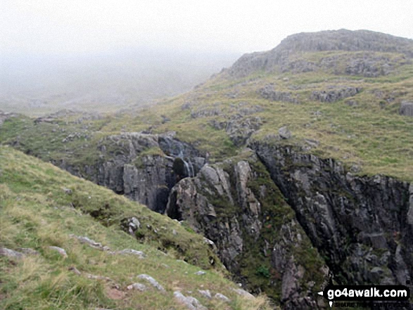

Send us your photographs and pictures from your walks and hikes
We would love to see your photographs and pictures from walk c454 Scafell Pike via The Corridor Route from Seathwaite (Borrowdale). Send them in to us as email attachments (configured for any computer) along with your name and where the picture was taken to:
and we shall do our best to publish them.
(Guide Resolution = 300dpi. At least = 660 pixels (wide) x 440 pixels (high).)

You can also submit photos from walk c454 Scafell Pike via The Corridor Route from Seathwaite (Borrowdale) via our Facebook Page.
NB. Please indicate where each photo was taken.

To contribute to go4awalk.com or to contact us about anything at all - see Talk To Us.
For help see Help.
go4awalk.com and go4awalk.co.uk are registered trademarks of TMDH Limited.
Copyright © 2000-2026 TMDH Limited. All rights reserved.
Copyright Terms & Conditions Privacy Statement
A - Z Walks Home Log On/Accounts Photo Gallery Walk Ideas and Collections Fell Facts Hill Skills Walking Questions and Answers Your Stories News Competitions Product Reviews/Gear Tests Walking Gear Guides Peaks and Mountains Peak Bagging Find New Walking Friends Camping GPS Waypoints for Walking Contents Walk Search Talk To Us go4awalk.com Help Free Example Walks Newsletter




