   |
Vital Statistics:
| Length: | 12¼mls (19.5km) |
| Ascent: | 3,568ft (1,087m) |
| Time: | 8hrs |
| Grade: |  |

Route outline for walk c402:
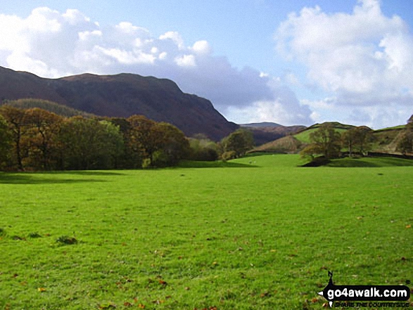
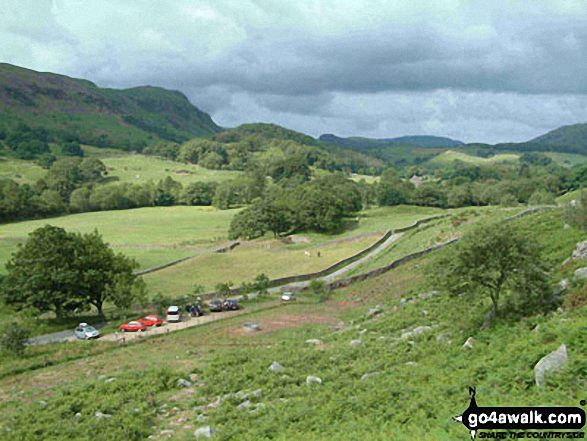
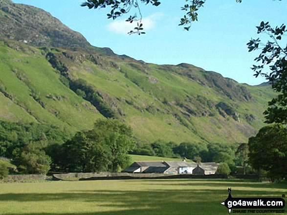
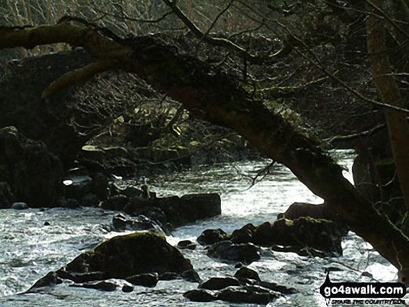
Eskdale - The Woolpack Inn - Doctor Bridge - Low Birker - Birker Force - Low Birker Tarn - Green Crag (Ulpha Fell) - Crook Crag - Harter Fell (Eskdale) - Dunnerdale Forest - Hardknott Pass - Hardknott Gill - Hard Knott - Yew Bank - Lingcove Beck - Lingcove Bridge - Great Moss - Brotherilkeld - Taw House Farm - Wha House Farm - The River Esk - The Woolpack Inn - Eskdale
Peak Bagging Statistics for this walk:
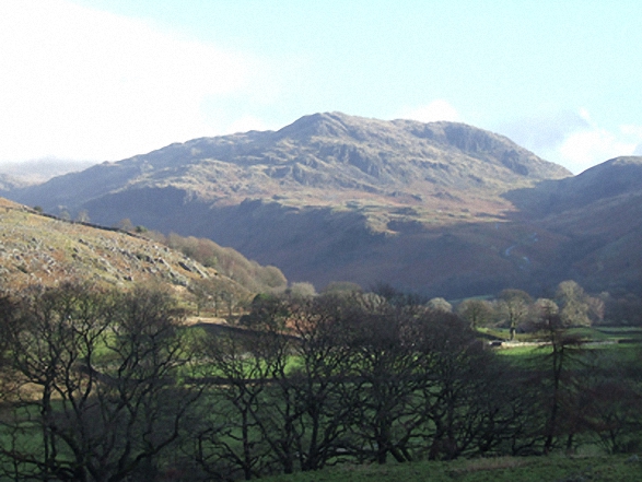
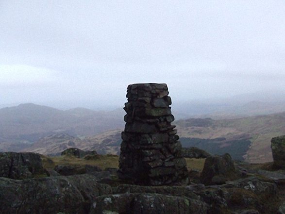
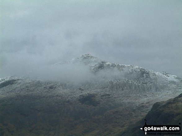
The highest point of this walk is Harter Fell (Eskdale) at 654m (2146ft). Harter Fell (Eskdale) is classified as an English Mountain (Hewitt) (140th highest in England, 242nd highest in England & Wales) and a Wainwright (No. 112).
Harter Fell (Eskdale) is also known as an English Nuttall (188th highest in England, 325th highest in England & Wales) and an English Marilyn (45th highest in England, 687th highest in the UK).
The summit of Harter Fell (Eskdale) is marked by an Ordnance Survey Trig Point.
Completing this walk will also take you to the top of Hard Knott at 549m (1802ft). Hard Knott is classified as an Wainwright (No. 151).
Hard Knott is also known as an English Dewey (72nd highest in England, 166th in England & Wales) and an English Marilyn (64th highest in England, 879th highest in the UK).
You will also reach the summit of Green Crag (Ulpha Fell) at 489m (1604ft). Green Crag (Ulpha Fell) is classified as an Wainwright (No. 176).
1:25,000 scale OS Explorer Map (orange/yellow covers):
1:50,000 scale OS Landranger Maps (pink/magenta covers):
Some Photos and Pictures from Walk c402 Harter Fell and Hard Knott from The Woolpack Inn, Eskdale
In no particular order . . .

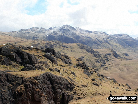
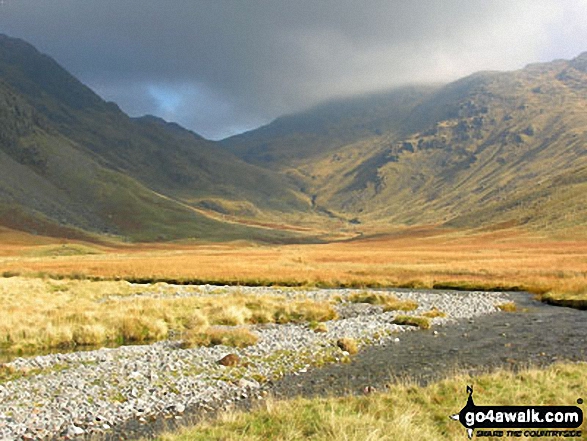
Duddon Valley and the Seathwaite Fells (Dow Crag & Brown Pike) from the path up Harter Fell (Eskdale)


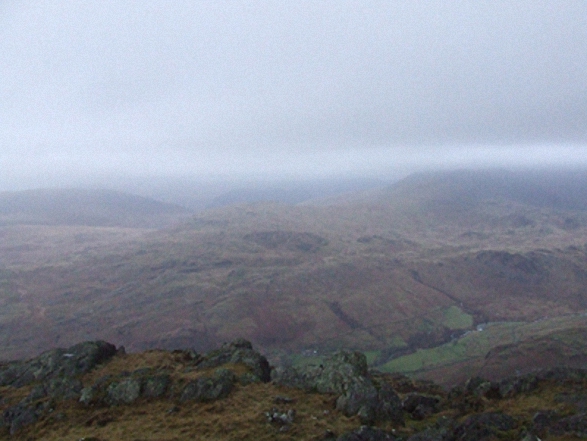
Eskdale from Birker Force (Waterfall) with Illgill Head (centre left) and Sca Fell (centre right) on the horizon

The Dunnerdale Horseshoe - featuring Stickle Pike (Dunnerdale Fells), Great Stickle, The Knott (Dunnerdale Fells) and Raven's Crag

. . . load all 61 walk photos from Walk c402 Harter Fell and Hard Knott from The Woolpack Inn, Eskdale
Send us your photographs and pictures from your walks and hikes
We would love to see your photographs and pictures from walk c402 Harter Fell and Hard Knott from The Woolpack Inn, Eskdale. Send them in to us as email attachments (configured for any computer) along with your name and where the picture was taken to:
and we shall do our best to publish them.
(Guide Resolution = 300dpi. At least = 660 pixels (wide) x 440 pixels (high).)

You can also submit photos from walk c402 Harter Fell and Hard Knott from The Woolpack Inn, Eskdale via our Facebook Page.
NB. Please indicate where each photo was taken.


