Walk c314 Whernside from Dent
This 12¼ mile, Grade 7 (Hard), easy-to-follow, hand-crafted walk, complete with GPS Waypoints, starts at Dent & will take about 6.70 hrs to complete.
   |
Vital Statistics:
| Length: | 12¼mls (19.5km) |
| Ascent: | 2,306ft (703m) |
| Time: | 6.70hrs |
| Grade: |  |
Route outline for walk c314:
Dent - Flinter Gill - Green Lane - High Pike - Whernside - Wernside Tarns - Craven Way - Mill Bridge (Deepdale Beck) - The Dales Way - Deepdale Beck - River Dee - Dent
Peaks, Summits and Tops reached on this walk:
 1 English Mountain |
 0 Wainwrights |
 1 English Nuttall |
 0 English Deweys |
 0 Wainwright Outlying Fells |
 1 Marilyn |
 0 Bridgets |
Peak Bagging Statistics for this walk:
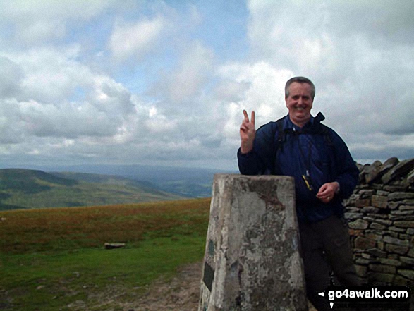
The highest point of this walk is Whernside at 736m (2416ft). Whernside is classified as an English Mountain (Hewitt) (76th highest in England, 131st highest in England & Wales)
Whernside is also known as an English Nuttall (95th highest in England, 162nd highest in England & Wales) and an English Marilyn (25th highest in England, 513th highest in the UK).
The summit of Whernside is marked by an Ordnance Survey Trig Point. Whernside is the highest point in The Yorkshire Dales National Park and the highest point in the county of North Yorkshire.
National Trails & Long Paths included on this walk:
Part of this walk follows a section of The Dales Way, a 130km (81 miles) linear footpath connecting Ilkley in West Yorkshire, England with Bowness-On-Windermere in Cumbria, England. The Dales Way is waymarked by named posts. For more walks that include a section of this trail see The Dales Way.
You can find this walk and other nearby walks on these unique Interactive Walk Planning Maps:
(worth a look if you're new to go4awalk.com & have never seen one of these before.)
1:25,000 scale OS Explorer Map (orange/yellow covers):
1:50,000 scale OS Landranger Map (pink/magenta covers):
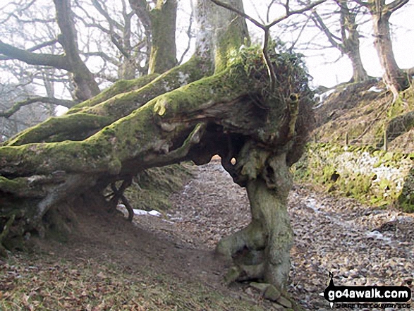
Some Photos and Pictures from Walk c314 Whernside from Dent
In no particular order . . .
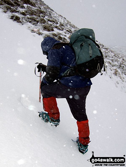
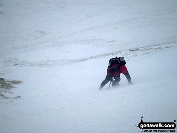
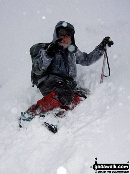
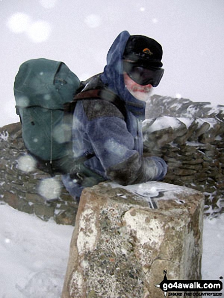
Mike (go4awalk.com editor) practising his crampons and ice-axe technique in the snow on Whernside
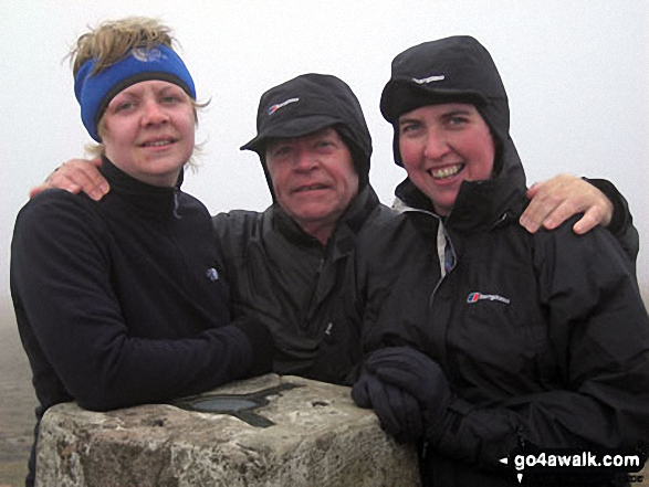
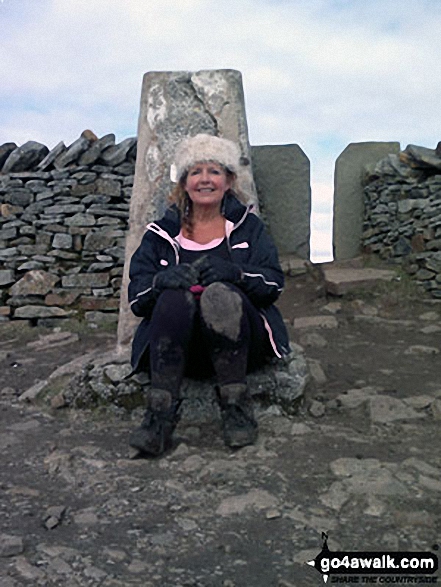
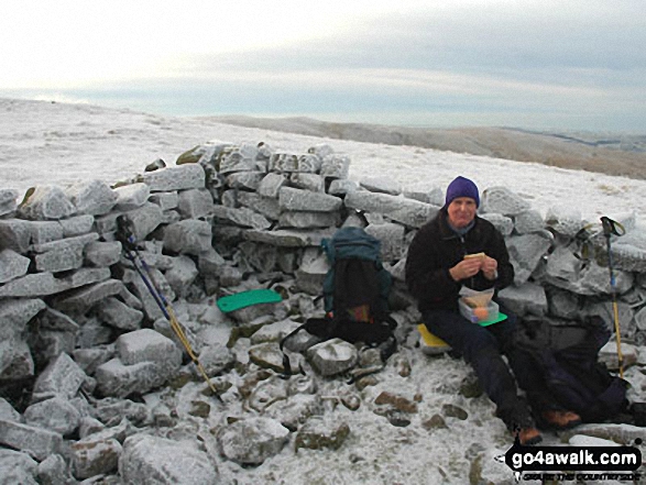
Hayley Me and Jo on top of Whernside Summit - giving the Yorkshire Three Peaks Challenge Walk another bash
. . . load all 18 walk photos from Walk c314 Whernside from Dent
Send us your photographs and pictures from your walks and hikes
We would love to see your photographs and pictures from walk c314 Whernside from Dent. Send them in to us as email attachments (configured for any computer) along with your name and where the picture was taken to:
and we shall do our best to publish them.
(Guide Resolution = 300dpi. At least = 660 pixels (wide) x 440 pixels (high).)

You can also submit photos from walk c314 Whernside from Dent via our Facebook Page.
NB. Please indicate where each photo was taken.

To contribute to go4awalk.com or to contact us about anything at all - see Talk To Us.
For help see Help.
go4awalk.com and go4awalk.co.uk are registered trademarks of TMDH Limited.
Copyright © 2000-2026 TMDH Limited. All rights reserved.
Copyright Terms & Conditions Privacy Statement
A - Z Walks Home Log On/Accounts Photo Gallery Walk Ideas and Collections Fell Facts Hill Skills Walking Questions and Answers Your Stories News Competitions Product Reviews/Gear Tests Walking Gear Guides Peaks and Mountains Peak Bagging Find New Walking Friends Camping GPS Waypoints for Walking Contents Walk Search Talk To Us go4awalk.com Help Free Example Walks Newsletter


