Walk c257 The Kentmere Skyline from Kentmere
This 11½ mile, Grade 7 (Hard), easy-to-follow, hand-crafted walk, complete with GPS Waypoints, starts at Kentmere & will take about 7½ hrs to complete.
   |
Vital Statistics:
| Length: | 11½mls (18.5km) |
| Ascent: | 3,378ft (1,030m) |
| Time: | 7½hrs |
| Grade: |  |

Route outline for walk c257:
Kentmere - Garburn Pass - Yoke - Ill Bell - Froswick - Thornthwaite Crag - Mardale Ill Bell - Nan Bield Pass - Harter Fell (Mardale) - Kentmere Pike - Brookstones - Kentmere
Peaks, Summits and Tops reached on this walk:
 6 English Mountains |
 7 Wainwrights |
 6 English Nuttalls |
 0 English Deweys |
 0 Wainwright Outlying Fells |
 0 Marilyns |
 0 Bridgets |
Peak Bagging Statistics for this walk:
The highest point of this walk is Thornthwaite Crag at 784m (2573ft). Thornthwaite Crag is classified as an English Mountain (Hewitt) (52nd highest in England, 91st highest in England & Wales) and a Wainwright (No. 44).
Thornthwaite Crag is also known as an English Nuttall (62nd highest in England, 111th highest in England & Wales).
Completing this walk will also take you to the top of Harter Fell (Mardale) at 779m (2556ft). Harter Fell (Mardale) is classified as an English Mountain (Hewitt) (54th highest in England, 96th highest in England & Wales) and a Wainwright (No. 47).
Harter Fell (Mardale) is also known as an English Nuttall (66th highest in England, 118th highest in England & Wales).
You will also reach the summit of Mardale Ill Bell at 760m (2494ft). Mardale Ill Bell is classified as an Wainwright (No. 59).
Along the way you will also bag and tick-off:
- Ill Bell at 757m (2484ft). Ill Bell is classified as an English Mountain (Hewitt) (66th highest in England, 114th highest in England & Wales), a Wainwright (No. 60) and an English Nuttall (80th highest in England, 138th highest in England & Wales).
- Kentmere Pike at 730m (2396ft). Kentmere Pike is classified as an English Mountain (Hewitt) (80th highest in England, 138th highest in England & Wales), a Wainwright (No. 72) and an English Nuttall (101st highest in England, 172nd highest in England & Wales). The summit of Kentmere Pike is marked by an Ordnance Survey Trig Point.
- Froswick at 720m (2363ft). Froswick is classified as an English Mountain (Hewitt) (86th highest in England, 147th highest in England & Wales), a Wainwright (No. 77) and an English Nuttall (108th highest in England, 183rd highest in England & Wales).
- Yoke at 706m (2317ft). Yoke is classified as an English Mountain (Hewitt) (100th highest in England, 166th highest in England & Wales), a Wainwright (No. 85) and an English Nuttall (125th highest in England, 209th highest in England & Wales).
You can find this walk and other nearby walks on these unique Interactive Walk Planning Maps:
(worth a look if you're new to go4awalk.com & have never seen one of these before.)
1:25,000 scale OS Explorer Map (orange/yellow covers):
1:50,000 scale OS Landranger Map (pink/magenta covers):
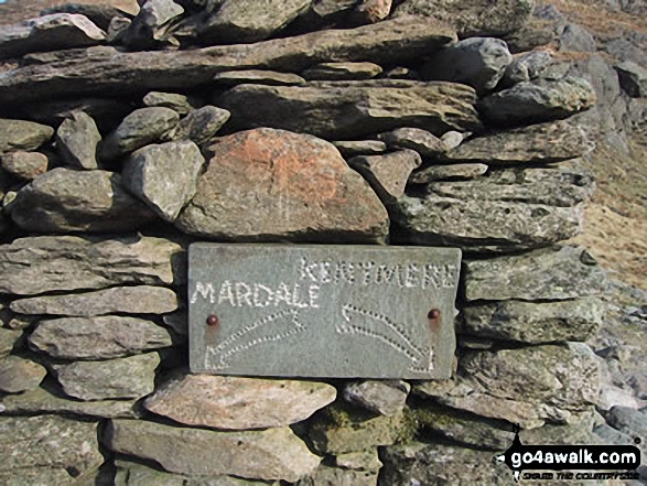
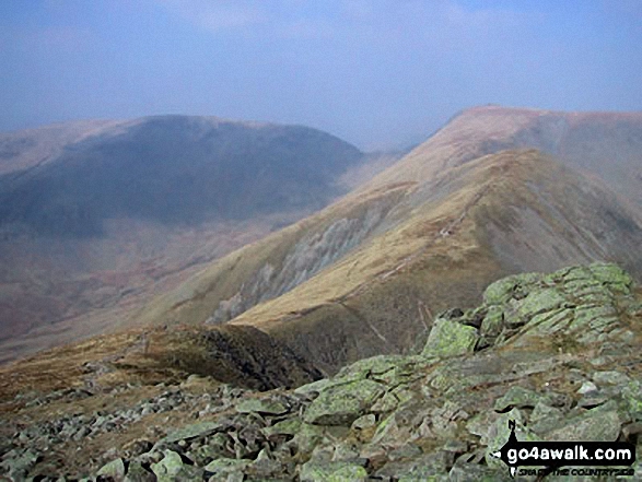
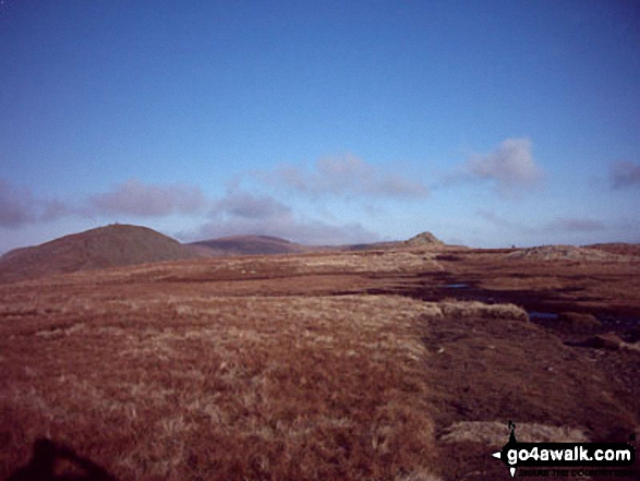
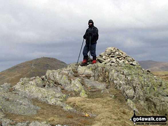
Some Photos and Pictures from Walk c257 The Kentmere Skyline from Kentmere
In no particular order . . .

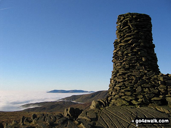
Looking North towards Skiddaw and Blencathra from the summit of Thornthwaite Crag across cloud trapped by a temperature inversion

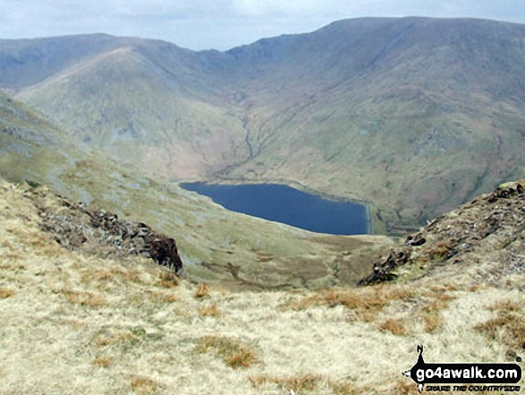
Mardale Ill Bell (left) Nan Bield Pass and Harter Fell (Mardale)(right) with Kentmere Reservoir below from the summit of Yoke


. . . load all 74 walk photos from Walk c257 The Kentmere Skyline from Kentmere
Send us your photographs and pictures from your walks and hikes
We would love to see your photographs and pictures from walk c257 The Kentmere Skyline from Kentmere. Send them in to us as email attachments (configured for any computer) along with your name and where the picture was taken to:
and we shall do our best to publish them.
(Guide Resolution = 300dpi. At least = 660 pixels (wide) x 440 pixels (high).)

You can also submit photos from walk c257 The Kentmere Skyline from Kentmere via our Facebook Page.
NB. Please indicate where each photo was taken.

To contribute to go4awalk.com or to contact us about anything at all - see Talk To Us.
For help see Help.
go4awalk.com and go4awalk.co.uk are registered trademarks of TMDH Limited.
Copyright © 2000-2026 TMDH Limited. All rights reserved.
Copyright Terms & Conditions Privacy Statement
A - Z Walks Home Log On/Accounts Photo Gallery Walk Ideas and Collections Fell Facts Hill Skills Walking Questions and Answers Your Stories News Competitions Product Reviews/Gear Tests Walking Gear Guides Peaks and Mountains Peak Bagging Find New Walking Friends Camping GPS Waypoints for Walking Contents Walk Search Talk To Us go4awalk.com Help Free Example Walks Newsletter


