Walk c128 The Hayswater Round from Hartsop
This 11¼ mile, Grade 8 (Hard), easy-to-follow, hand-crafted walk, complete with GPS Waypoints, starts at Cow Bridge & will take about 8 hrs to complete.
   |
Vital Statistics:
| Length: | 11¼mls (18km) |
| Ascent: | 3,843ft (1,171m) |
| Time: | 8hrs |
| Grade: |  |

Route outline for walk c128:
Cow Bridge - Brothers Water - Hartsop - Hartsop Dodd - Caudale Moor - Stony Cove Pike (Caudale Moor) - Caudale Head - Stony Cove Pike - Threshthwaite Mouth - Thornthwaite Crag - High Street - Straits of Riggindale - Rampsgill Head - Kidsty Pike - High Raise (Mardale) - The Knott - Hayeswater Reservoir - Hayeswater Gill - Hartsop - Cow Bridge - Brothers Water.
Peaks, Summits and Tops reached on this walk:
 5 English Mountains |
 8 Wainwrights |
 7 English Nuttalls |
 0 English Deweys |
 0 Wainwright Outlying Fells |
 2 Marilyns |
 0 Bridgets |
Peak Bagging Statistics for this walk:
The highest point of this walk is High Street at 828m (2717ft). High Street is classified as an English Mountain (Hewitt) (32nd highest in England, 61st highest in England & Wales) and a Wainwright (No. 25).
High Street is also known as an English Nuttall (38th highest in England, 70th highest in England & Wales) and an English Marilyn (11th highest in England, 345th highest in the UK).
The summit of High Street is marked by an Ordnance Survey Trig Point.
Completing this walk will also take you to the top of High Raise (Mardale) at 804m (2636ft). High Raise (Mardale) is classified as an English Mountain (Hewitt) (39th highest in England, 73rd highest in England & Wales) and a Wainwright (No. 31).
High Raise (Mardale) is also known as an English Nuttall (46th highest in England, 88th highest in England & Wales).
You will also reach the summit of Rampsgill Head at 792m (2600ft). Rampsgill Head is classified as an English Mountain (Hewitt) (46th highest in England, 84th highest in England & Wales) and a Wainwright (No. 39).
Rampsgill Head is also known as an English Nuttall (55th highest in England, 103rd highest in England & Wales).
Along the way you will also bag and tick-off:
- Thornthwaite Crag at 784m (2573ft). Thornthwaite Crag is classified as an English Mountain (Hewitt) (52nd highest in England, 91st highest in England & Wales), a Wainwright (No. 44) and an English Nuttall (62nd highest in England, 111th highest in England & Wales).
- Kidsty Pike at 780m (2560ft). Kidsty Pike is classified as a Wainwright (No. 46) and an English Nuttall (64th highest in England, 115th highest in England & Wales)
- Stony Cove Pike (Caudale Moor) at 763m (2504ft). Stony Cove Pike (Caudale Moor) is classified as an English Mountain (Hewitt) (63rd England, 109th highest in England & Wales), a Wainwright (No. 55), an English Nuttall (77th highest in England, 133rd highest in England & Wales) and an English Marilyn (19th England, 465th highest in the UK). In Alfred Wainwright's 'Book Two - The Far Eastern Fells' the chapter for Stony Cove Pike (Caudale Moor) is entitled simply 'Caudale Moor'.
- The Knott at 739m (2425ft). The Knott is classified as a Wainwright (No. 66)
- Hartsop Dodd at 619m (2031ft). Hartsop Dodd is classified as a Wainwright (No. 126) and an English Nuttall (235th highest in England, 410th highest in England & Wales)
You can find this walk and other nearby walks on these unique Interactive Walk Planning Maps:
(worth a look if you're new to go4awalk.com & have never seen one of these before.)
1:25,000 scale OS Explorer Map (orange/yellow covers):
1:50,000 scale OS Landranger Map (pink/magenta covers):
Some Photos and Pictures from Walk c128 The Hayswater Round from Hartsop
In no particular order . . .

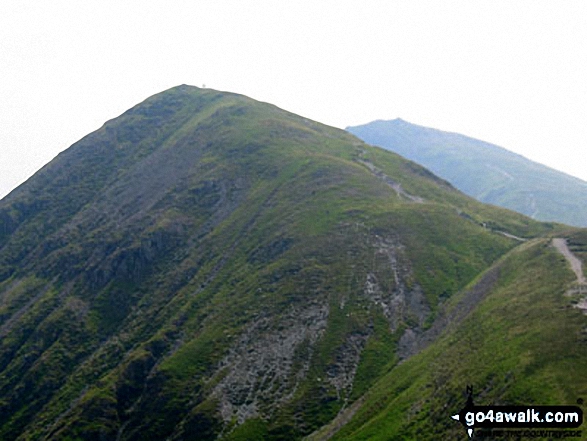
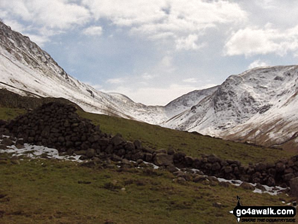
Ullswater, Place Fell (right - distance) and
Hartsop Dodd (right - mid-distance) from Caudale Head
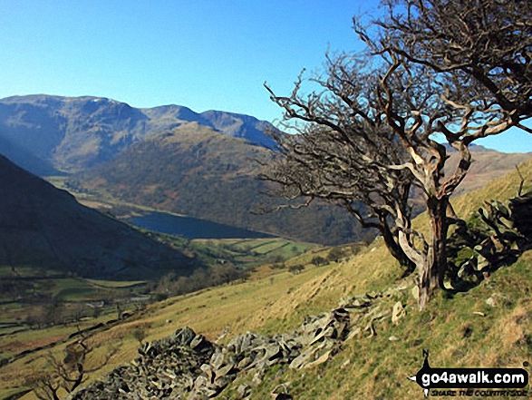
Dove Crag, Hart Crag and Fairfield dominate the skyline beyond Brothers Water
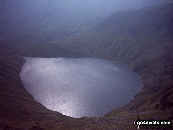

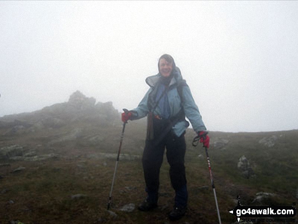
Early Morning Mist nr Hartsop Village with The Angletarn Pikes and Place Fell in the background


. . . load all 74 walk photos from Walk c128 The Hayswater Round from Hartsop
Send us your photographs and pictures from your walks and hikes
We would love to see your photographs and pictures from walk c128 The Hayswater Round from Hartsop. Send them in to us as email attachments (configured for any computer) along with your name and where the picture was taken to:
and we shall do our best to publish them.
(Guide Resolution = 300dpi. At least = 660 pixels (wide) x 440 pixels (high).)

You can also submit photos from walk c128 The Hayswater Round from Hartsop via our Facebook Page.
NB. Please indicate where each photo was taken.
To contribute to go4awalk.com or to contact us about anything at all - see Talk To Us.
For help see Help.
go4awalk.com and go4awalk.co.uk are registered trademarks of TMDH Limited.
Copyright © 2000-2026 TMDH Limited. All rights reserved.
Copyright Terms & Conditions Privacy Statement
A - Z Walks Home Log On/Accounts Photo Gallery Walk Ideas and Collections Fell Facts Hill Skills Walking Questions and Answers Your Stories News Competitions Product Reviews/Gear Tests Walking Gear Guides Peaks and Mountains Peak Bagging Find New Walking Friends Camping GPS Waypoints for Walking Contents Walk Search Talk To Us go4awalk.com Help Free Example Walks Newsletter


