The 30 nearest, easy-to-follow, circular walks, routes & maps to UK Postcode WN4

The thirty nearest, easy-to-follow, circular walks, routes & maps to UK Postcode WN4 in Walk Grade Order

Walk 1 Walking Bootprint Icon

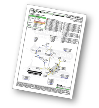
Walk me100 Billinge Hill from Billinge, Wigan

The highest point in Merseyside

Download GPS Waypoint Data for walk me100
Download GPX Waypoint Data for walk me100
Download Map and Route Details for walk me100

Vital Statistics:

Length:4 miles (6.5 km)
Ascent:417ft (127m)
Time:2 hrs
Grade:Grade 2 Walking Easy
Walk 2 Walking Bootprint Icon

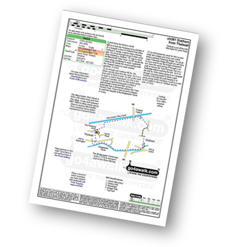
Walk ch261 Statham from Thelwall

A stroll along two famous canals

Download GPS Waypoint Data for walk ch261
Download GPX Waypoint Data for walk ch261
Download Map and Route Details for walk ch261

Vital Statistics:

Length:4.5 miles (7 km)
Ascent:190ft (58m)
Time:1.75hrs
Grade:Grade 1 Walking Easy
Walk 3 Walking Bootprint Icon

Walk ch193 The Bridgewater Canal and Hatton from Higher Walton

Quiet country fields & canal towpaths

Download GPS Waypoint Data for walk ch193
Download GPX Waypoint Data for walk ch193
Download Map and Route Details for walk ch193

Vital Statistics:

Length:6.25 miles (10 km)
Ascent:400ft (122m)
Time:2.75hrs
Grade:Grade 3 Walking Easy
Walk 4 Walking Bootprint Icon

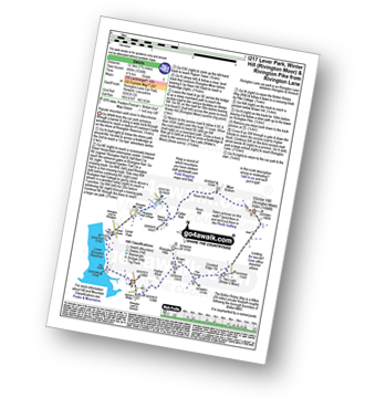
Walk l217 Lever Park, Winter Hill (Rivington Moor) and Rivington Pike from Rivington Lane

Popular mountain walk close to Manchester

Download GPS Waypoint Data for walk l217
Download GPX Waypoint Data for walk l217
Download Map and Route Details for walk l217

Vital Statistics:

Length:7.75 miles (12.5 km)
Ascent:1,536ft (468m)
Time:4½ hrs
Grade:Grade 5 Walking Moderate
Walk 5 Walking Bootprint Icon

Walk l110 Rivington Pike from Great House Information Centre, Rivington Lane

Superb views over Manchester

Download GPS Waypoint Data for walk l110
Download GPX Waypoint Data for walk l110
Download Map and Route Details for walk l110

Vital Statistics:

Length:4.5 miles (7 km)
Ascent:893ft (272m)
Time:2½ hrs
Grade:Grade 3 Walking Easy
Walk 6 Walking Bootprint Icon

Walk l135 A circuit of Anglezarke Reservoir

A stroll round two reservoirs - can be muddy

Download GPS Waypoint Data for walk l135
Download GPX Waypoint Data for walk l135
Download Map and Route Details for walk l135

Vital Statistics:

Length:6.25 miles (10 km)
Ascent:879ft (268m)
Time:3.25hrs
Grade:Grade 4 Walking Moderate
Walk 7 Walking Bootprint Icon

Walk ch132 The Lymm Heritage Trail

Pleasant stroll through a historic village

Download GPS Waypoint Data for walk ch132
Download GPX Waypoint Data for walk ch132
Download Map and Route Details for walk ch132

Vital Statistics:

Length:3.75 miles (6 km)
Ascent:204ft (62m)
Time:2 hrs
Grade:Grade 1 Walking Easy
Walk 8 Walking Bootprint Icon

Walk ch102 Dunham Massey and The Bridgewater Canal from Lymm

Fine waterside walk

Download GPS Waypoint Data for walk ch102
Download GPX Waypoint Data for walk ch102
Download Map and Route Details for walk ch102

Vital Statistics:

Length:11.25 miles (18 km)
Ascent:213ft (65m)
Time:4½ hrs
Grade:Grade 2 Walking Easy
Walk 9 Walking Bootprint Icon

Walk ch120 The Bridgewater Canal from Lymm

Gentle waterside stroll

Download GPS Waypoint Data for walk ch120
Download GPX Waypoint Data for walk ch120
Download Map and Route Details for walk ch120

Vital Statistics:

Length:5.25 miles (8.5 km)
Ascent:246ft (75m)
Time:2.25hrs
Grade:Grade 2 Walking Easy
Walk 10 Walking Bootprint Icon

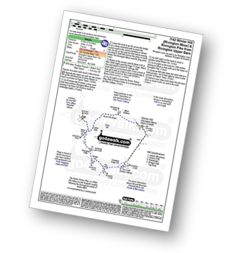
Walk l142 Winter Hill (Rivington Moor) and Rivington Pike from Rivington Upper Barn

Manchester's nearest big hill

Download GPS Waypoint Data for walk l142
Download GPX Waypoint Data for walk l142
Download Map and Route Details for walk l142

Vital Statistics:

Length:5.5 miles (8.5 km)
Ascent:1,113ft (339m)
Time:3.25hrs
Grade:Grade 4 Walking Moderate
Walk 11 Walking Bootprint Icon

Walk gm101 The Bridgewater Canal from Dunham Town

Pleasant canal side stroll

Download GPS Waypoint Data for walk gm101
Download GPX Waypoint Data for walk gm101
Download Map and Route Details for walk gm101

Vital Statistics:

Length:5.75 miles (9 km)
Ascent:190ft (58m)
Time:2.25hrs
Grade:Grade 2 Walking Easy
Walk 12 Walking Bootprint Icon

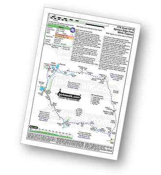
Walk l176 Great Hill from White Coppice

Good views and clear paths

Download GPS Waypoint Data for walk l176
Download GPX Waypoint Data for walk l176
Download Map and Route Details for walk l176

Vital Statistics:

Length:8.25 miles (13 km)
Ascent:1,230ft (375m)
Time:4 hrs
Grade:Grade 5 Walking Moderate
Walk 13 Walking Bootprint Icon

Walk ch161 Great Budworth from Arley Hall

Historical village & church

Download GPS Waypoint Data for walk ch161
Download GPX Waypoint Data for walk ch161
Download Map and Route Details for walk ch161

Vital Statistics:

Length:5.5 miles (8.5 km)
Ascent:158ft (48m)
Time:2.25hrs
Grade:Grade 1 Walking Easy
Walk 14 Walking Bootprint Icon

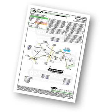
Walk ch121 Rostherne from Hoo Green

Quiet country lanes

Download GPS Waypoint Data for walk ch121
Download GPX Waypoint Data for walk ch121
Download Map and Route Details for walk ch121

Vital Statistics:

Length:6.75 miles (11 km)
Ascent:370ft (110m)
Time:3 hrs
Grade:Grade 2 Walking Easy
Walk 15 Walking Bootprint Icon

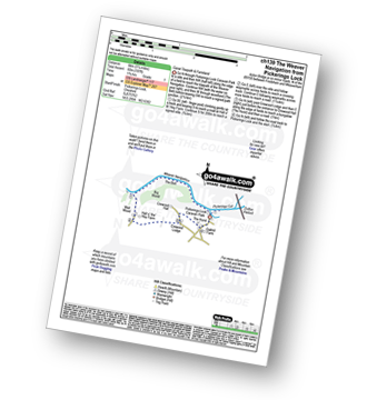
Walk ch139 The Weaver Navigation from Pickerings Lock

Canal towpaths & farmland

Download GPS Waypoint Data for walk ch139
Download GPX Waypoint Data for walk ch139
Download Map and Route Details for walk ch139

Vital Statistics:

Length:3.75 miles (6 km)
Ascent:197ft (60m)
Time:1.75hrs
Grade:Grade 1 Walking Easy
Walk 16 Walking Bootprint Icon

Walk ch110 Helsby Hill and The Sandstone Trail from Frodsham

Fine views of the mersey estuary

Download GPS Waypoint Data for walk ch110
Download GPX Waypoint Data for walk ch110
Download Map and Route Details for walk ch110

Vital Statistics:

Length:6.25 miles (10 km)
Ascent:1,254ft (382m)
Time:3½ hrs
Grade:Grade 4 Walking Moderate
Walk 17 Walking Bootprint Icon

Walk ch106 New Mills from Hale

Quiet farmland

Download GPS Waypoint Data for walk ch106
Download GPX Waypoint Data for walk ch106
Download Map and Route Details for walk ch106

Vital Statistics:

Length:8.5 miles (13.5 km)
Ascent:453ft (138m)
Time:3½ hrs
Grade:Grade 3 Walking Easy
Walk 18 Walking Bootprint Icon

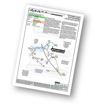
Walk ch118 Dutton Locks from Acton Bridge

Canal towpaths & farmland

Download GPS Waypoint Data for walk ch118
Download GPX Waypoint Data for walk ch118
Download Map and Route Details for walk ch118

Vital Statistics:

Length:4 miles (6.5 km)
Ascent:233ft (71m)
Time:1.75hrs
Grade:Grade 1 Walking Easy
Walk 19 Walking Bootprint Icon

Walk ch250 Weaver Navigation from Acton Bridge

Canals & farmland

Download GPS Waypoint Data for walk ch250
Download GPX Waypoint Data for walk ch250
Download Map and Route Details for walk ch250

Vital Statistics:

Length:7.25 miles (11.5 km)
Ascent:384ft (117m)
Time:3 hrs
Grade:Grade 3 Walking Easy
Walk 20 Walking Bootprint Icon

Walk ch181 The Trent and Mersey Canal from Little Leigh

Delightful canal walk & quiet countryside

Download GPS Waypoint Data for walk ch181
Download GPX Waypoint Data for walk ch181
Download Map and Route Details for walk ch181

Vital Statistics:

Length:5 miles (8 km)
Ascent:338ft (103m)
Time:2.25hrs
Grade:Grade 2 Walking Easy
Walk 21 Walking Bootprint Icon

Walk ch184 The Trent and Mersey Canal and Anderton Boat Lift from Marbury Country Park

Fascinating Victorian engineering

Download GPS Waypoint Data for walk ch184
Download GPX Waypoint Data for walk ch184
Download Map and Route Details for walk ch184

Vital Statistics:

Length:3.75 miles (6 km)
Ascent:253ft (77m)
Time:2 hrs
Grade:Grade 1 Walking Easy
Walk 22 Walking Bootprint Icon

Walk ch109 Great Budworth from Pickmere

Lovely church, village and lake

Download GPS Waypoint Data for walk ch109
Download GPX Waypoint Data for walk ch109
Download Map and Route Details for walk ch109

Vital Statistics:

Length:5 miles (8 km)
Ascent:226ft (69m)
Time:2.25hrs
Grade:Grade 2 Walking Easy
Walk 23 Walking Bootprint Icon

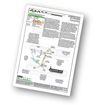
Walk gm108 Peel Monument from Holcombe

A short but steep ascent to stunning views

Download GPS Waypoint Data for walk gm108
Download GPX Waypoint Data for walk gm108
Download Map and Route Details for walk gm108

Vital Statistics:

Length:4 miles (6.5 km)
Ascent:590ft (180m)
Time:2.25hrs
Grade:Grade 2 Walking Easy
Walk 24 Walking Bootprint Icon

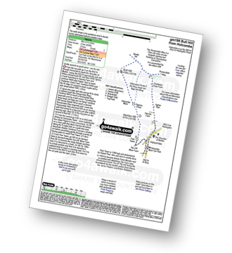
Walk gm198 Bull Hill from Holcombe

Gentle ascents to good views - can be wet

Download GPS Waypoint Data for walk gm198
Download GPX Waypoint Data for walk gm198
Download Map and Route Details for walk gm198

Vital Statistics:

Length:5.25 miles (8.5 km)
Ascent:686ft (210m)
Time:2.75hrs
Grade:Grade 3 Walking Easy
Walk 25 Walking Bootprint Icon

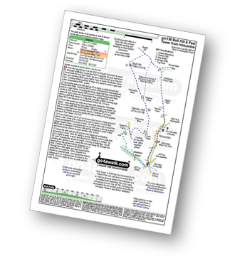
Walk gm156 Bull Hill and Peel Monument from Holcombe

Gentle ascents to good views - can be wet

Download GPS Waypoint Data for walk gm156
Download GPX Waypoint Data for walk gm156
Download Map and Route Details for walk gm156

Vital Statistics:

Length:6.75 miles (11 km)
Ascent:1,050ft (320m)
Time:3.75hrs
Grade:Grade 4 Walking Moderate
Walk 26 Walking Bootprint Icon

Walk ch124 Holford Hall from Plumley

Farmland paths

Download GPS Waypoint Data for walk ch124
Download GPX Waypoint Data for walk ch124
Download Map and Route Details for walk ch124

Vital Statistics:

Length:3.75 miles (6 km)
Ascent:118ft (36m)
Time:1½ hrs
Grade:Grade 1 Walking Easy
Walk 27 Walking Bootprint Icon

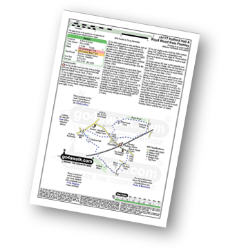
Walk ch177 Holford Hall and Royd Wood from Plumley

Farmland paths

Download GPS Waypoint Data for walk ch177
Download GPX Waypoint Data for walk ch177
Download Map and Route Details for walk ch177

Vital Statistics:

Length:6 miles (9.5 km)
Ascent:164ft (50m)
Time:2½ hrs
Grade:Grade 1 Walking Easy
Walk 28 Walking Bootprint Icon

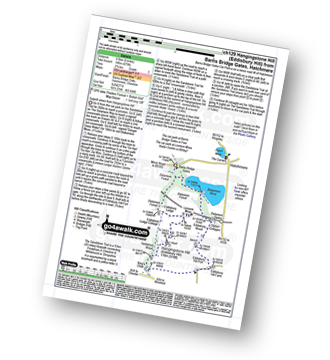
Walk ch129 Hangingstone Hill (Eddisbury Hill) from Barns Bridge Gates, Hatchmere

Superb views from Hangingstone Hill (Eddisbury Hill)

Download GPS Waypoint Data for walk ch129
Download GPX Waypoint Data for walk ch129
Download Map and Route Details for walk ch129

Vital Statistics:

Length:6 miles (9.5 km)
Ascent:479ft (146m)
Time:2.75hrs
Grade:Grade 3 Walking Easy
Walk 29 Walking Bootprint Icon

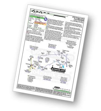
Walk l210 Cowpe Lowe from Edenfield

Fine views on a wlk through history

Download GPS Waypoint Data for walk l210
Download GPX Waypoint Data for walk l210
Download Map and Route Details for walk l210

Vital Statistics:

Length:5 miles (8 km)
Ascent:1,044ft (318m)
Time:3 hrs
Grade:Grade 4 Walking Moderate
Walk 30 Walking Bootprint Icon

Walk l134 Hail Storm Hill from Edenfield

Fine views

Download GPS Waypoint Data for walk l134
Download GPX Waypoint Data for walk l134
Download Map and Route Details for walk l134

Vital Statistics:

Length:7.25 miles (11.5 km)
Ascent:1,355ft (413m)
Time:4 hrs
Grade:Grade 5 Walking Moderate


Follow go4awalk.com on Twitter Follow go4awalk.com on Facebook