UK Postcode SK4 - The 30 nearest easy-to-follow, circular walk route maps to you
The thirty nearest easy-to-follow, circular walk route maps to you in UK Postcode SK4 in Walk Grade Order
The UK cities, towns and villages in Greater Manchester, England that have SK4 in their UK Postcode include:
• Heaton Moor •
Not familiar with the area around SK4?
See these 30 nearest walks to UK Postcode SK4 on a google map

   |
Vital Statistics:
| Length: | 7 miles (11 km) |
| Ascent: | 824ft (251m) |
| Time: | 3.25hrs |
| Grade: |  |

Route Summary:
Nelson Pit Visitors Centre - Higher Poynton - The Macclesfield Canal - The Cheshire Ring Canal Walk - Wood Lanes - Adlington Basin - Lockgate Farm - The North Cheshire Way - Harrop Brow - West Parkgate - Lyme Park Country Park - Lyme Park Car Park - The Cage - Lyme Hall - Fallow Deer Park - The Lime Avenue - Lyme Park Car Park - Windgather Farm - Haresteads Farm - Nelson Pit Visitors Centre - Higher Poynton.


|
Vital Statistics:
| Length: | 9.75 miles (15.5 km) |
| Ascent: | 9ft (409m) |
| Time: | 5 hrs |
| Grade: |  |
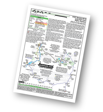
Route Summary:
Nelson Pit Visitors Centre - Higher Poynton - The Macclesfield Canal - The Cheshire Ring Canal Walk - Wood Lanes - Adlington Basin - Lockgate Farm - The North Cheshire Way - Harrop Brow - Birchencliff Farm - Keeper's Cottage - Dale Top - Sponds Moor - The Gritstone Trail - Sponds Hill - Bowstonegate Farm - Bow Stones - Higher Moor - Lyme Park Country Park - Lantern Wood - The Cage - Lyme Hall - Fallow Deer Park - The Lime Avenue - Lyme Park Car Park - Windgather Farm - Haresteads Farm - Nelson Pit Visitors Centre - Higher Poynton.

|
Vital Statistics:
| Length: | 5.5 miles (9 km) |
| Ascent: | 499ft (152m) |
| Time: | 2.75hrs |
| Grade: |  |

Route Summary:
Twinnies Bridge - Wilmslow - Moss Grove Farm - Morely - The River Bollin - Styal Country Park - Giant's Castle Bridge - Oxbrow Bridge - Kingfisher Bridge - Norcliffe Church - Styal Cross - Styal - Quarry Bank Mill - Twinnies Bridge - Wilmslow.

|
Vital Statistics:
| Length: | 9.5 miles (15 km) |
| Ascent: | 1,696ft (517m) |
| Time: | 5.25hrs |
| Grade: |  |
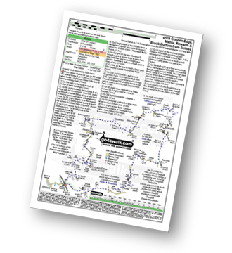
Route Summary:
Strines Station - Lower Cliffe Cottage - Higher Banks Cottage - Cobden Edge - Mellor Moor - Mellor - Mellor Church - Hilltop Farm - Shiloh Hall Farm - Ringstones Farm - Ayton Farm - Rowarth - Thornsett Fields Farm - New Mills - Whitle - Brook Bottom - The Goyt Way - The Midshires Way - Strines Station

|
Vital Statistics:
| Length: | 6.5 miles (10.5 km) |
| Ascent: | 167ft (51m) |
| Time: | 2.75hrs |
| Grade: |  |
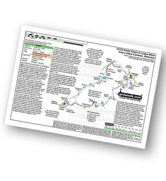
Route Summary:
Lindow Common - Wilmslow - Lindow Moss - Morley Green - Rossmere - Saltersley Hall Farm - Mobberley Golf Club - Graveyard Farm - Knolls Green - Paddockhill - Plough and Flail - Racecourse Farm - Lindow Common - Wilmslow.

|
Vital Statistics:
| Length: | 4.5 miles (7 km) |
| Ascent: | 715ft (218m) |
| Time: | 2½ hrs |
| Grade: | |

Route Summary:
Lyme Park Car Park - Lyme Park Country Park - Pursefield Wood - Paddock Cottage,Knightslow Wood, - Higher Moor - Lantern Wood - The Cage - The North Cheshire Way - Lyme Hall - Lyme Park Car Park

|
Vital Statistics:
| Length: | 7.25 miles (11.5 km) |
| Ascent: | 1,201ft (366m) |
| Time: | 3.75hrs |
| Grade: | |

Route Summary:
Lyme Park Car Park - Crow Wood - Hase Bank Wood - West Parkgate - The North Cheshire Way - Keepers' Cottage - Dale Top - Sponds Moor - The Gritstone Trail - Sponds Hill - Bow Stones - Bowstonegate Farm - Lyme Park Country Park - Lantern Wood - The Cage - Fallow Deer Park - The Lime Avenue - Lyme Park Car Park

|
Vital Statistics:
| Length: | 5.75 miles (9 km) |
| Ascent: | 354ft (108m) |
| Time: | 2½ hrs |
| Grade: | |
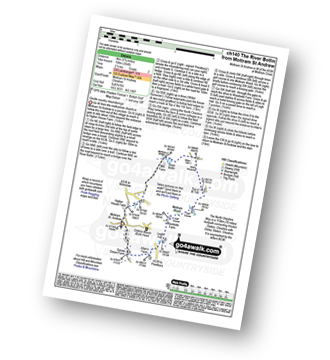
Route Summary:
Mottram St Andrew - River Bollin - Willot Nurseries - Top O' Th' Hill Farm - Mottram Hall Golf Course - Mottram Hall - Woodside Farm - Legh Hall - Hunters Pool - Goose Green Farm - Mottram St Andrew

|
Vital Statistics:
| Length: | 3.75 miles (6 km) |
| Ascent: | 820ft (250m) |
| Time: | 2.25hrs |
| Grade: | |
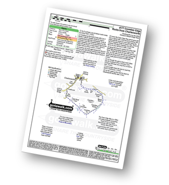
Route Summary:
Charlesworth - The Banks - The Cown Edge Way - Coombes Edge - Coombes Rocks - Coombes Tor - Far Coombes - Oak Wood Farm - Bot Wood - Holehouse - Charlesworth

|
Vital Statistics:
| Length: | 8.5 miles (13.5 km) |
| Ascent: | 453ft (138m) |
| Time: | 3½ hrs |
| Grade: | |

Route Summary:
Hale (near Altrincham) - The River Bollin - The Bollin Valley Way - Coppice Farm - Ryecroft Farm - Birkin Farm - Birtles Farm - New Mills - Breach House Farm - Higherhouse Farm - The River Bollin - Ross Mill - Hale.

|
Vital Statistics:
| Length: | 4 miles (6.5 km) |
| Ascent: | 272ft (83m) |
| Time: | 1.75hrs |
| Grade: | |
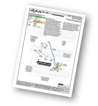
Route Summary:
Prestbury - The River Bollin - The North Cheshire Way - Woodside Farm - Legh Hall - Woodend Farm - Spittle House - Prestbury

|
Vital Statistics:
| Length: | 8.75 miles (14 km) |
| Ascent: | 1,050ft (320m) |
| Time: | 4.25hrs |
| Grade: | |

Route Summary:
Alderley Edge - Clock House Farm - Daniel Hill - Daniel Wood - Alder Wood - Hare Hill - Finlow Hill Wood - Clinton Hill - Birtles Hill - Fernhill - Monk's Heath - Yarwoods Farm - Heawood House - Nether Alderley Mill - Nether Alderley - Alderley Edge

|
Vital Statistics:
| Length: | 5 miles (8 km) |
| Ascent: | 1,162ft (354m) |
| Time: | 3 hrs |
| Grade: | |
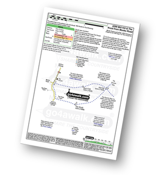
Route Summary:
Chunal Road (Glossop) - A624 - The Grouse Inn - Burnt Hill - Mill Hill - The Knott (Hayfield) - Hollingworth Clough - Tom Heys Farm - The Grouse Inn - A624 - Chunal Road (Glossop)

|
Vital Statistics:
| Length: | 12.5 miles (20 km) |
| Ascent: | 2,143ft (653m) |
| Time: | 6.75hrs |
| Grade: |  |
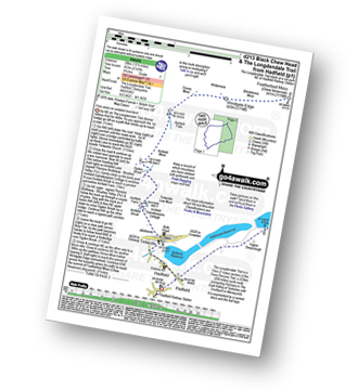
Route Summary:
Hadfield - The Longdenden Trail - Tintwistle - Arnfield Gamekeepers Cottage - Arnfield Brook - Arnfield Farm - Tintwistle Low Moor - Ogden Brook - Arnfield Moor - Arnfield Flats - Ormes Moor - Wilderness - Windgate Edge - Blindstones Moor - Featherbed Moss (Chew Reservoir) - Laddow Moss - Black Chew Head (Laddow Rocks) - The Pennine Way - Oakenclough Brook - Rakes Rocks - Highstone Rocks - Torside Reservoir - Rhodeswood Reservoir - The Longdendale Trail - Hadfield

|
Vital Statistics:
| Length: | 6 miles (9.5 km) |
| Ascent: | 236ft (72m) |
| Time: | 2½ hrs |
| Grade: | |

Route Summary:
Dunham Town - The Bridgewater Canal - The Cheshire Ring Canal Walk - Agden Bridge - Agden Brook Farm - Arthill Farm - Reddy Lane Cottage - Little Bollington - Dunham Massey Park - Dunham Park - Dunham Town
Not familiar with the area around SK4?
See these 30 nearest walks to UK Postcode SK4 on a google map

|
Vital Statistics:
| Length: | 10.5 miles (17 km) |
| Ascent: | 2,468ft (752m) |
| Time: | 6.25hrs |
| Grade: | |
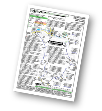
Route Summary:
Hayfield - Sett Valley Trail - Birch Vale - Morland Road - Ollersett - New Allotments - Cracken Edge - Chinley Churn - Chinley Head - Dry Clough Farm - Chinley - Naze House - Greystead - Alder Ling - Wicken House - Andrews Farm - South Head (Hayfield) - Mount Famine - Elle Bank - Pennine Bridleway - Tunstead House - Bowden Bridge - Hayfield

|
Vital Statistics:
| Length: | 8.75 miles (14 km) |
| Ascent: | 1,861ft (567m) |
| Time: | 5 hrs |
| Grade: | |

Route Summary:
Hayfield - Sett Valley Trail - Birch Vale - Morland Road - Ollersett - New Allotments - Chinley Churn - Cracken Edge - Chinley - Vorposten - Hayfield

|
Vital Statistics:
| Length: | 9.5 miles (15 km) |
| Ascent: | 2,074ft (632m) |
| Time: | 5½ hrs |
| Grade: | |

Route Summary:
Hayfield - Sett Valley Trail - Birch Vale - The River Sett - The Pennine Bridleway - Lantern Pike - Matley Moor - Burnt Hill - Mill Hill (Ashop Head) - The Pennine Way - William Clough - Kinder Reservoir - Snake Path - Middle Moor - Hayfield

|
Vital Statistics:
| Length: | 4.75 miles (7.5 km) |
| Ascent: | 843ft (257m) |
| Time: | 2.75hrs |
| Grade: | |

Route Summary:
Hayfield - Sett Valley Trail Car Park - Valley Road - Bowden Bridge Car Park - Kinder Road - Kinder Reservoir - White Brow - Middle Moor (Hayfield) - Snake Path - Sett Valley Trail Car Park - Hayfield

|
Vital Statistics:
| Length: | 4.75 miles (7.5 km) |
| Ascent: | 899ft (274m) |
| Time: | 2.75hrs |
| Grade: | |
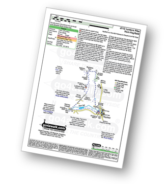
Route Summary:
Hayfield - Sett Valley Trail - Birch Vale - The River Sett - The Pennine Bridleway - Lantern Pike - Hey Wood - Little Hayfield - Sett Valley Trail - Hayfield

|
Vital Statistics:
| Length: | 13.5 miles (21.5 km) |
| Ascent: | 2,914ft (888m) |
| Time: | 7.75hrs |
| Grade: | |
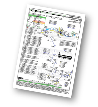
Route Summary:
Hayfield - Sett Valley Trail - Birch Vale - Morland Road - Ollersett - New Allotments - Chinley Head - Mount Famine - South Head (Hayfield) - Brown Knoll (Edale) - Edale Cross - Oaken Clough - Coldwell Clough - Tunstead House - Bowden Bridge - Hayfield

|
Vital Statistics:
| Length: | 10.5 miles (17 km) |
| Ascent: | 2,055ft (626m) |
| Time: | 6 hrs |
| Grade: | |
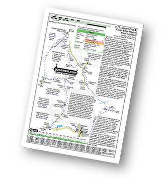
Route Summary:
Hayfield - Sett Valley Trail - Birch Vale - The River Sett - The Pennine Bridleway - Lantern Pike - Rowarth - Cown Edge Rocks - Chunal Road (Glossop) - Hollingwood Clough - Middle Moor (Hayfield) - The Snake Path - Hayfield

|
Vital Statistics:
| Length: | 7.25 miles (11.5 km) |
| Ascent: | 1,526ft (465m) |
| Time: | 4.25hrs |
| Grade: | |

Route Summary:
Old Glossop - Shittern Clough - Lightside - Yellow Slacks - Dowstone Clough - Dog Rock - Higher Shelf Stones - James's Thorn - Doctors Gate Path - Shelf Brook - Moss Lea Farm - Old Glossop

|
Vital Statistics:
| Length: | 9 miles (14.5 km) |
| Ascent: | 1,850ft (564m) |
| Time: | 5.25hrs |
| Grade: | |

Route Summary:
Old Glossop - Shittern Clough - Lightside - Yellow Slacks - Dog Rock - Dowstone Clough - Yellowslacks Brook - The Wain Stones (or Kissing Stones) - Bleaklow Head (Bleaklow Hill) - Higher Shelf Stones - Crooked Clough - The Pennine Way - Old Woman - Doctor's Gate Path - Shelf Brook - Moss Lea Farm - Old Glossop

|
Vital Statistics:
| Length: | 8.75 miles (14 km) |
| Ascent: | 1,851ft (564m) |
| Time: | 5 hrs |
| Grade: | |
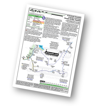
Route Summary:
Bowden Bridge - Hayfield - Booth Sheepwash - Farlands - Broad Clough - Kinderlow End - Three Knolls - Cluther Rocks - Red Brook - The Pennine Way - Kinder Downfall - Kinder Low (Kinder Scout) - Edale Cross - Oaken Clough - Coldwell Clough - Bowden Bridge - Hayfield

|
Vital Statistics:
| Length: | 8.75 miles (14 km) |
| Ascent: | 2,192ft (688m) |
| Time: | 5½ hrs |
| Grade: | |

Route Summary:
Bowden Bridge - Hayfield - Booth Sheepwash - White Brow - Kinder Reservoir - Nab Brow - William Clough - Ashop Head - Mill Hill (Ashop Head) - The Pennine Way - Kinder Scout - The Edge (Kinder Scout) - Kinder Downfall - Red Brook - Cluther Rocks - Kinder Low (Kinder Scout) - Edale Cross - Kinderlow End - Oaken Clough - Tunstead House Farm - Bowden Bridge - Hayfield

|
Vital Statistics:
| Length: | 7.5 miles (12 km) |
| Ascent: | 1,808ft (551m) |
| Time: | 4½ hrs |
| Grade: | |

Route Summary:
Bowden Bridge - Hayfield - Turnstead House - Coldwell Clough - Oaken Clough - Edale Cross - Brown Knoll (Edale) - South Head (Hayfield) - Mount Famine - Elle Bank - The Pennine Bridleway - Tunstead House - Bowden Bridge - Hayfield

|
Vital Statistics:
| Length: | 10.75 miles (17 km) |
| Ascent: | 2,242ft (683m) |
| Time: | 6.25hrs |
| Grade: | |

Route Summary:
Bowden Bridge - Hayfield - Booth Sheepwash - Farlands - Broad Clough - Kinderlow End - Three Knolls - Cluther Rocks - Red Brook - The Pennine Way - Kinder Downfall - Kinder Low (Kinder Scout) - Brown Knoll (Edale) - South Head (Hayfield) - Mount Famine - Elle Bank - The Pennine Bridleway - Tunstead House - Hayfield

|
Vital Statistics:
| Length: | 6.25 miles (10 km) |
| Ascent: | 1,451ft (442m) |
| Time: | 3.75hrs |
| Grade: | |
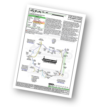
Route Summary:
Pym Chair - Jenkin Chapel - Broad Moss - Saddle Cote - Moss Brook - Harrop Fold Farm - Black Brook - Charles Head Farm - Near Carr Farm - Fivelane-ends - Taxal Edge - Windgather Rocks - Goyt Forest - Ladbitch Wood - Pym Chair

|
Vital Statistics:
| Length: | 6.25 miles (10 km) |
| Ascent: | 1,224ft (373m) |
| Time: | 3½ hrs |
| Grade: | |

Route Summary:
Lamaload Reservoir - Shining Tor - Cats Tor - Pym Chair - Jenkin Chapel - Lamaload Reservoir
Not familiar with the area around SK4?
See these 30 nearest walks to UK Postcode SK4 on a google map