UK Postcode SK10 - The 30 nearest easy-to-follow, circular walk route maps to you
The thirty nearest easy-to-follow, circular walk route maps to you in UK Postcode SK10 in Walk Grade Order
The UK cities, towns and villages in Cheshire, England that have SK10 in their UK Postcode include:
• Adlington • Bollington • Chelford • Henbury • Hurdsfield • Kerridge • Mottram St Andrew • Nether Alderley • Pott Shrigley • Prestbury • Rainow • Tytherington •
Not familiar with the area around SK10?
See these 30 nearest walks to UK Postcode SK10 on a google map

   |
Vital Statistics:
| Length: | 4.5 miles (7 km) |
| Ascent: | 266ft (81m) |
| Time: | 2 hrs |
| Grade: |  |
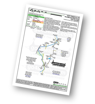
Route Summary:
Gurnett - The Macclesfield Canal - The Cheshire Ring Canal Walk - Oakgrove - Sutton Reservoir - Sutton Grange - Gurnett


|
Vital Statistics:
| Length: | 4 miles (6.5 km) |
| Ascent: | 272ft (83m) |
| Time: | 1.75hrs |
| Grade: | |
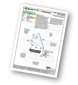
Route Summary:
Prestbury - The River Bollin - The North Cheshire Way - Woodside Farm - Legh Hall - Woodend Farm - Spittle House - Prestbury

|
Vital Statistics:
| Length: | 4.75 miles (7.5 km) |
| Ascent: | 886ft (270m) |
| Time: | 2½ hrs |
| Grade: |  |
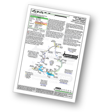
Route Summary:
Ridgegate Reservoir - Langley - Topclose Farm - Macclesfield Forest - Ashtreetop - Warrilowhead Farm - Walker Barn - Tegg's Nose Country Park - Tegg's Nose - Teggsnose Wood - Teggsnose Reservoir - Bottoms Reservoir - Langley - Ridgegate Reservoir

|
Vital Statistics:
| Length: | 7.25 miles (11.5 km) |
| Ascent: | 1,598ft (487m) |
| Time: | 4.25hrs |
| Grade: |  |

Route Summary:
Ridgegate Reservoir - Leather's Smithy - Trentabank Reservoir - Higher Ridgegate - Macclesfield Forest - Shutlingsloe - Wildboarclough - Higher Nabbs Farm - Oaken Clough - Oakenclough Farm - Pot Lords - The Hanging Gate - The Gritstone Trail - Throstles Nest Farm - Ridgegate Reservoir

|
Vital Statistics:
| Length: | 4.5 miles (7 km) |
| Ascent: | 66ft (20m) |
| Time: | 1½ hrs |
| Grade: |  |

Route Summary:
Oakgrove - The Macclesfield Canal - The Cheshire Ring Canal Walk - Gawsworth - Oakgrove

|
Vital Statistics:
| Length: | 9.5 miles (15 km) |
| Ascent: | 1,611ft (491m) |
| Time: | 5 hrs |
| Grade: | |

Route Summary:
Lamaload Reservoir - Saltersford Hall - Jenkin Chapel - Kettleshulme - Windgather Rocks - Pym Chair - Cats Tor - Shining Tor - Lamaload Reservoir

|
Vital Statistics:
| Length: | 7.25 miles (11.5 km) |
| Ascent: | 1,680ft (512m) |
| Time: | 4½ hrs |
| Grade: | |
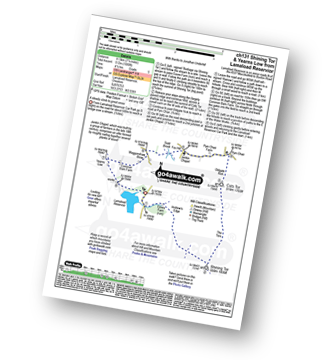
Route Summary:
Lamaload Reservoir - Shining Tor - Cats Tor - Pym Chair - Jenkin Chapel - Waggonshaw Brow - Yearns Low - Lamaload Reservoir

|
Vital Statistics:
| Length: | 6.25 miles (10 km) |
| Ascent: | 1,224ft (373m) |
| Time: | 3½ hrs |
| Grade: |  |

Route Summary:
Lamaload Reservoir - Shining Tor - Cats Tor - Pym Chair - Jenkin Chapel - Lamaload Reservoir

|
Vital Statistics:
| Length: | 3.5 miles (5.5 km) |
| Ascent: | 840ft (256m) |
| Time: | 2.25hrs |
| Grade: | |

Route Summary:
Lamaload Reservoir - Saltersford Hall - Jenkin Chapel - Waggonshaw Brow - Yearns Low - Lamaload Roservoir.

|
Vital Statistics:
| Length: | 5.75 miles (9 km) |
| Ascent: | 354ft (108m) |
| Time: | 2½ hrs |
| Grade: | |
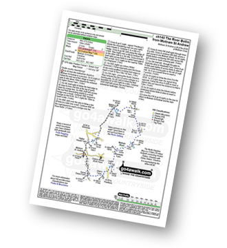
Route Summary:
Mottram St Andrew - River Bollin - Willot Nurseries - Top O' Th' Hill Farm - Mottram Hall Golf Course - Mottram Hall - Woodside Farm - Legh Hall - Hunters Pool - Goose Green Farm - Mottram St Andrew

|
Vital Statistics:
| Length: | 8.5 miles (13.5 km) |
| Ascent: | 1,690ft (515m) |
| Time: | 4.75hrs |
| Grade: | |
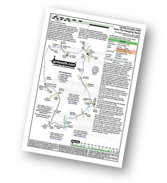
Route Summary:
The Hanging Gate - Pot Lords - High Lee Farm - Withenshaw - Cessbank Common - Longgutter - Lower Greasley Farm - Greasley Hollow - Mareknowles Farm - The Gritstone Trail - Wincle Minn - Golden Slack - Croker Hill - Sutton Common - Foxbank Farm - Higher Sutton - Lowerhouse Farm - The Hanging Gate

|
Vital Statistics:
| Length: | 9.25 miles (15 km) |
| Ascent: | 545ft (166m) |
| Time: | 4 hrs |
| Grade: | |
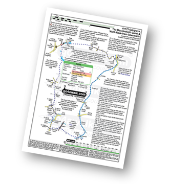
Route Summary:
Gawsworth - Oakgrove - The Macclesfield Canal - The Cheshire Ring Canal Walk - Bosley Locks - River Dane Aquaduct - Railway Viaduct - Crossley Farm - Colleymill Bridge - North Rode - Manor Farm - Beancroft Wood - Rodegreen Farm - Gawsworth

|
Vital Statistics:
| Length: | 8.75 miles (14 km) |
| Ascent: | 1,050ft (320m) |
| Time: | 4.25hrs |
| Grade: | |

Route Summary:
Alderley Edge - Clock House Farm - Daniel Hill - Daniel Wood - Alder Wood - Hare Hill - Finlow Hill Wood - Clinton Hill - Birtles Hill - Fernhill - Monk's Heath - Yarwoods Farm - Heawood House - Nether Alderley Mill - Nether Alderley - Alderley Edge

|
Vital Statistics:
| Length: | 6.25 miles (10 km) |
| Ascent: | 1,451ft (442m) |
| Time: | 3.75hrs |
| Grade: | |
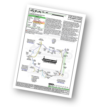
Route Summary:
Pym Chair - Jenkin Chapel - Broad Moss - Saddle Cote - Moss Brook - Harrop Fold Farm - Black Brook - Charles Head Farm - Near Carr Farm - Fivelane-ends - Taxal Edge - Windgather Rocks - Goyt Forest - Ladbitch Wood - Pym Chair

|
Vital Statistics:
| Length: | 4.5 miles (7 km) |
| Ascent: | 341ft (104m) |
| Time: | 2 hrs |
| Grade: | |

Route Summary:
Bosley Locks - The Macclesfield Canal - The Cheshire Ring Canal Walk - River Dane Aquaduct - Railway Viaduct - Crossley Farm - Colleymill Bridge - North Rode - North Rode Manor Fish Pond - Station Wood - Big Dogbottom Wood - Bosley Locks
Not familiar with the area around SK10?
See these 30 nearest walks to UK Postcode SK10 on a google map

|
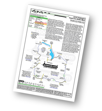
Vital Statistics:
| Length: | 7.5 miles (12 km) |
| Ascent: | 197ft (60m) |
| Time: | 3 hrs |
| Grade: | |
Route Summary:
Redes Mere - Redes Mere Nature Reserve - Fanshawe - Hills Green Farm - Hazelwall Farm - Henshaw Hall Farm - Heskey Wood - Snape Brook - Moss Wood - Crabtree Moss Farm - Marton Gate Farm - Northwood Farm - Sandbank Farm - Mere Moss Wood - Siddington Heath - Holly Cottage - Blake House Farm - Capesthorne Hall - Redes Mere

|
Vital Statistics:
| Length: | 3.75 miles (11 km) |
| Ascent: | 1,415ft (431m) |
| Time: | 4 hrs |
| Grade: | |

Route Summary:
Wildboarclough - Clough House - Cumberland Brook - Cumberland Cottage - Danethorn Hollow - Wood Moss - The Dane Valley Way - Three Shires Head - Knarr Farm - Robins Clough - Bennettsitch Farm - Midgley Gate Farm - Burnt Cliff Top - Tagsclough Hill - Heild End Farm - Wildboarclough

|
Vital Statistics:
| Length: | 8.25 miles (13 km) |
| Ascent: | 1,247ft (380m) |
| Time: | 4.25hrs |
| Grade: | |

Route Summary:
Cat and Fiddle - A537 Goyt's Moss - Whetstone Ridge - Danebower Hollow - A54 - Danebower Quarries - The River Dane - The Dane Valley Way - Orchard Farm - Three Shires Head - Panniers Pool - Cheeks Hill - Dane Head - Axe Edge (Axe Edge Moor) - A54 - Cat and Fiddle

|
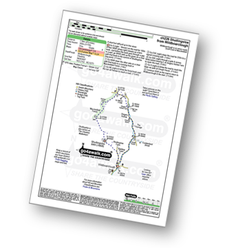
Vital Statistics:
| Length: | 4.75 miles (7.5 km) |
| Ascent: | 1,175ft (358m) |
| Time: | 3 hrs |
| Grade: | |
Route Summary:
Wildboarclough - Banktop Farm - Shutlingsloe Farm - Shutlingsloe - Macclesfield Forest - Ferriser - Dingers Hollow - Clough House - Wildboarclough

|
Vital Statistics:
| Length: | 4.5 miles (7 km) |
| Ascent: | 715ft (218m) |
| Time: | 2½ hrs |
| Grade: | |

Route Summary:
Lyme Park Car Park - Lyme Park Country Park - Pursefield Wood - Paddock Cottage,Knightslow Wood, - Higher Moor - Lantern Wood - The Cage - The North Cheshire Way - Lyme Hall - Lyme Park Car Park

|
Vital Statistics:
| Length: | 7.25 miles (11.5 km) |
| Ascent: | 1,201ft (366m) |
| Time: | 3.75hrs |
| Grade: | |

Route Summary:
Lyme Park Car Park - Crow Wood - Hase Bank Wood - West Parkgate - The North Cheshire Way - Keepers' Cottage - Dale Top - Sponds Moor - The Gritstone Trail - Sponds Hill - Bow Stones - Bowstonegate Farm - Lyme Park Country Park - Lantern Wood - The Cage - Fallow Deer Park - The Lime Avenue - Lyme Park Car Park

|
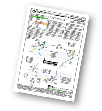
Vital Statistics:
| Length: | 7.25 miles (11.5 km) |
| Ascent: | 404ft (123m) |
| Time: | 3 hrs |
| Grade: | |
Route Summary:
North Rode - Gawsworth - Oakgrove - The Macclesfield Canal - The Cheshire Ring Canal Walk - Bosley Locks - Big Dogbottom Wood - Station Wood - North Rode Manor Fish Pond - North Rode

|
Vital Statistics:
| Length: | 9.75 miles (15.5 km) |
| Ascent: | 9ft (409m) |
| Time: | 5 hrs |
| Grade: | |

Route Summary:
Nelson Pit Visitors Centre - Higher Poynton - The Macclesfield Canal - The Cheshire Ring Canal Walk - Wood Lanes - Adlington Basin - Lockgate Farm - The North Cheshire Way - Harrop Brow - Birchencliff Farm - Keeper's Cottage - Dale Top - Sponds Moor - The Gritstone Trail - Sponds Hill - Bowstonegate Farm - Bow Stones - Higher Moor - Lyme Park Country Park - Lantern Wood - The Cage - Lyme Hall - Fallow Deer Park - The Lime Avenue - Lyme Park Car Park - Windgather Farm - Haresteads Farm - Nelson Pit Visitors Centre - Higher Poynton.

|
Vital Statistics:
| Length: | 7 miles (11 km) |
| Ascent: | 824ft (251m) |
| Time: | 3.25hrs |
| Grade: | |

Route Summary:
Nelson Pit Visitors Centre - Higher Poynton - The Macclesfield Canal - The Cheshire Ring Canal Walk - Wood Lanes - Adlington Basin - Lockgate Farm - The North Cheshire Way - Harrop Brow - West Parkgate - Lyme Park Country Park - Lyme Park Car Park - The Cage - Lyme Hall - Fallow Deer Park - The Lime Avenue - Lyme Park Car Park - Windgather Farm - Haresteads Farm - Nelson Pit Visitors Centre - Higher Poynton.

|
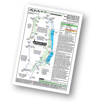
Vital Statistics:
| Length: | 8.75 miles (14 km) |
| Ascent: | 1,694ft (516m) |
| Time: | 5 hrs |
| Grade: | |
Route Summary:
Errwood Reservoir - The Goyt Valley - Shooter's Clough - Shining Tor - The Tors - Cats Tor - Oldgate Nick - Pym Chair - Goyt Forest - Windgather Rocks - Taxal Edge - Overton Hall Farm - The Midshires Way - Madscar Farm - Mill Clough - Knife Farm - The Goyt Valley - Fernilee Reservoir - Hoo Moor - Deep Clough - Jep Clough - The Street - The Goyt Valley - Errwood Reservoir

|
Vital Statistics:
| Length: | 6 miles (9.5 km) |
| Ascent: | 1,310ft (399m) |
| Time: | 3½ hrs |
| Grade: | |
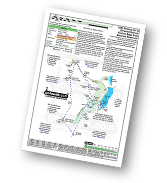
Route Summary:
Errwood Reservoir - The Goyt Valley - Shooter's Clough - Shining Tor - The Tors - Cats Tor - Oldgate Nick - Pym Chair - The Street - Foxlow Edge - The Goyt Valley - Errwood Hall - Errwood Reservoir

|
Vital Statistics:
| Length: | 7.25 miles (11.5 km) |
| Ascent: | 1,388ft (423m) |
| Time: | 4 hrs |
| Grade: | |
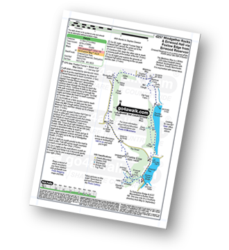
Route Summary:
Errwood Reservoir - The Goyt Valley - The Street - Fernilee Reservoir - Jep Clough - Deep Clough - Mill Clough - The Midshires Way - Knife Farm - Madscar Farm - Overton Hall Farm - Taxal Edge - Windgather Rocks - Goyt Forest - Pym Chair - The Street - Foxlow Edge - The Goyt Valley - Errwood Hall - Errwood Reservoir

|
Vital Statistics:
| Length: | 9.5 miles (15 km) |
| Ascent: | 2,071ft (631m) |
| Time: | 5½ hrs |
| Grade: |  |

Route Summary:
Errwood Reservoir - The Goyt Valley - Bunsal Cob - Wild Moor - Wildmoorstone Brook - Watford Moor - Beet Wood - Burbage Church - Buxton - Burbage Edge Plantation - Burbage Edge - Berry Clough - Goyt's Clough - Goyt's Moss - Deep Clough - Goytsclough Quarry - Stake Clough - Stake Side - The Goyt Valley - Errwood Hall - Errwood Reservoir

|
Vital Statistics:
| Length: | 6.5 miles (10.5 km) |
| Ascent: | 167ft (51m) |
| Time: | 2.75hrs |
| Grade: | |
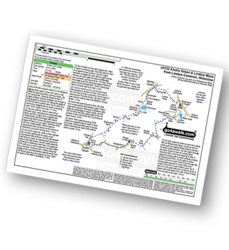
Route Summary:
Lindow Common - Wilmslow - Lindow Moss - Morley Green - Rossmere - Saltersley Hall Farm - Mobberley Golf Club - Graveyard Farm - Knolls Green - Paddockhill - Plough and Flail - Racecourse Farm - Lindow Common - Wilmslow.

|
Vital Statistics:
| Length: | 5.5 miles (9 km) |
| Ascent: | 499ft (152m) |
| Time: | 2.75hrs |
| Grade: | |

Route Summary:
Twinnies Bridge - Wilmslow - Moss Grove Farm - Morely - The River Bollin - Styal Country Park - Giant's Castle Bridge - Oxbrow Bridge - Kingfisher Bridge - Norcliffe Church - Styal Cross - Styal - Quarry Bank Mill - Twinnies Bridge - Wilmslow.
Not familiar with the area around SK10?
See these 30 nearest walks to UK Postcode SK10 on a google map





