The 30 nearest, easy-to-follow, circular walks, routes & maps to UK Postcode S81

The thirty nearest, easy-to-follow, circular walks, routes & maps to UK Postcode S81 in Walk Grade Order

Walk 1 Walking Bootprint Icon

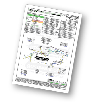
Walk sy127 The Cuckoo Way and Turnerwood from Thorpe Salvin

Easy walking on fields and towpaths

Download GPS Waypoint Data for walk sy127
Download GPX Waypoint Data for walk sy127
Download Map and Route Details for walk sy127

Vital Statistics:

Length:6 miles (9.5 km)
Ascent:331ft (101m)
Time:2½ hrs
Grade:Grade 2 Walking Easy
Walk 2 Walking Bootprint Icon

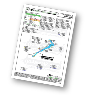
Walk nt100 A circuit of Clumber Lake

Lovely lakeside stroll

Download GPS Waypoint Data for walk nt100
Download GPX Waypoint Data for walk nt100
Download Map and Route Details for walk nt100

Vital Statistics:

Length:4.5 miles (7 km)
Ascent:407ft (124m)
Time:2 hrs
Grade:Grade 2 Walking Easy
Walk 3 Walking Bootprint Icon

Walk sy114 The Cuckoo Way and Thorpe Salvin from Harthill

Easy walking on fields and towpaths

Download GPS Waypoint Data for walk sy114
Download GPX Waypoint Data for walk sy114
Download Map and Route Details for walk sy114

Vital Statistics:

Length:8.25 miles (13 km)
Ascent:404ft (123m)
Time:3½ hrs
Grade:Grade 3 Walking Easy
Walk 4 Walking Bootprint Icon

Walk sy100 The Cuckoo Way and Turnerwood from Harthill

Easy walking on fields and towpaths

Download GPS Waypoint Data for walk sy100
Download GPX Waypoint Data for walk sy100
Download Map and Route Details for walk sy100

Vital Statistics:

Length:10 miles (16 km)
Ascent:515ft (157m)
Time:4½ hrs
Grade:Grade 4 Walking Moderate
Walk 5 Walking Bootprint Icon

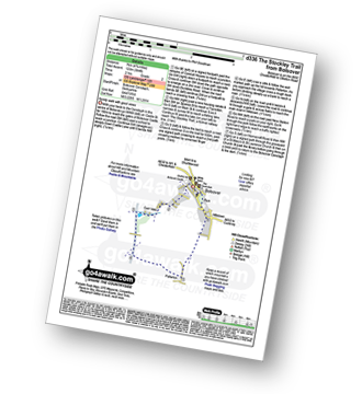
Walk d336 The Stockley Trail from Bolsover

Family walk with good views

Download GPS Waypoint Data for walk d336
Download GPX Waypoint Data for walk d336
Download Map and Route Details for walk d336

Vital Statistics:

Length:4.75 miles (7 km)
Ascent:394ft (120m)
Time:2 hrs
Grade:Grade 2 Walking Easy
Walk 6 Walking Bootprint Icon

Walk d303 White Edge (Big Moor), Curbar Edge and Froggatt Edge from Longshaw Country Park

A high edge walk with little ascent

Download GPS Waypoint Data for walk d303
Download GPX Waypoint Data for walk d303
Download Map and Route Details for walk d303

Vital Statistics:

Length:8.5 miles (13.5 km)
Ascent:896ft (273m)
Time:4 hrs
Grade:Grade 4 Walking Moderate
Walk 7 Walking Bootprint Icon

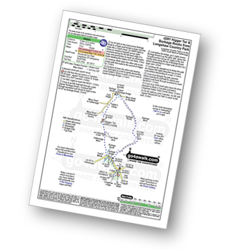
Walk d281 Higger Tor and Burbage Rocks from Longshaw Country Park

A pleasant stroll with superb views

Download GPS Waypoint Data for walk d281
Download GPX Waypoint Data for walk d281
Download Map and Route Details for walk d281

Vital Statistics:

Length:5.5 miles (8.5 km)
Ascent:1,007ft (307m)
Time:3 hrs
Grade:Grade 4 Walking Moderate
Walk 8 Walking Bootprint Icon

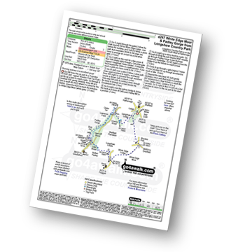
Walk d247 White Edge Moor and Padley Gorge from Longshaw Country Park

Stunning scenery

Download GPS Waypoint Data for walk d247
Download GPX Waypoint Data for walk d247
Download Map and Route Details for walk d247

Vital Statistics:

Length:4.5 miles (7 km)
Ascent:804ft (245m)
Time:2½ hrs
Grade:Grade 3 Walking Easy
Walk 9 Walking Bootprint Icon

Walk d248 Baslow Edge and Birchen Edge from The Robin Hood (Baslow)

Superb Derbyshire views from two edges

Download GPS Waypoint Data for walk d248
Download GPX Waypoint Data for walk d248
Download Map and Route Details for walk d248

Vital Statistics:

Length:6.25 miles (10 km)
Ascent:1,103ft (336m)
Time:3½ hrs
Grade:Grade 4 Walking Moderate
Walk 10 Walking Bootprint Icon

Walk d181 Hob Hurst's House and Beeley Moor from Hell Bank Plantation, Beeley

Huge views - but no paths on the top

Download GPS Waypoint Data for walk d181
Download GPX Waypoint Data for walk d181
Download Map and Route Details for walk d181

Vital Statistics:

Length:4 miles (6.5 km)
Ascent:400ft (122m)
Time:2 hrs
Grade:Grade 2 Walking Easy
Walk 11 Walking Bootprint Icon

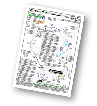
Walk d143 Curbar Edge, Froggatt Edge and Big Moor from Curbar Gap

A fairly level walk across wild moorland

Download GPS Waypoint Data for walk d143
Download GPX Waypoint Data for walk d143
Download Map and Route Details for walk d143

Vital Statistics:

Length:9.75 miles (15.5 km)
Ascent:1,001ft (305m)
Time:4.75hrs
Grade:Grade 5 Walking Moderate
Walk 12 Walking Bootprint Icon

Walk d139 Froggatt Edge, Curbar Edge, The Derwent Valley and Grindleford from Hay Wood, Longshaw

A fine edge, followed by a fine valley walk

Download GPS Waypoint Data for walk d139
Download GPX Waypoint Data for walk d139
Download Map and Route Details for walk d139

Vital Statistics:

Length:6.75 miles (11 km)
Ascent:1,122ft (342m)
Time:3.75hrs
Grade:Grade 4 Walking Moderate
Walk 13 Walking Bootprint Icon

Walk d189 White Edge (Big Moor) and Curbar Edge from Grindleford Station

Fine Edge walk with great views

Download GPS Waypoint Data for walk d189
Download GPX Waypoint Data for walk d189
Download Map and Route Details for walk d189

Vital Statistics:

Length:10.75 miles (17 km)
Ascent:1,493ft (455m)
Time:5½ hrs
Grade:Grade 6 Walking Moderate
Walk 14 Walking Bootprint Icon

Walk d101 Padley Gorge, Burbage Rocks and Longshaw Country Park from Grindleford Station

Quite stunning scenery

Download GPS Waypoint Data for walk d101
Download GPX Waypoint Data for walk d101
Download Map and Route Details for walk d101

Vital Statistics:

Length:7.5 miles (12 km)
Ascent:1,467ft (447m)
Time:4.25hrs
Grade:Grade 5 Walking Moderate
Walk 15 Walking Bootprint Icon

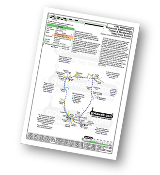
Walk d287 Wellington's Monument, Baslow Edge, Curbar and The Derwent Valley from Baslow

A gentle ascent to a super view

Download GPS Waypoint Data for walk d287
Download GPX Waypoint Data for walk d287
Download Map and Route Details for walk d287

Vital Statistics:

Length:5.5 miles (8.5 km)
Ascent:869ft (265m)
Time:3 hrs
Grade:Grade 3 Walking Easy
Walk 16 Walking Bootprint Icon

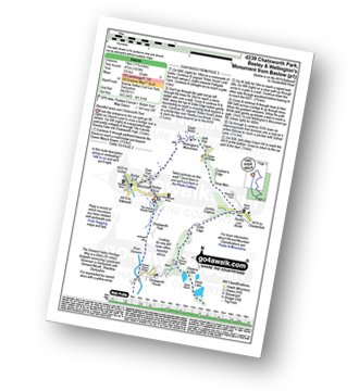
Walk d239 Chatsworth Park, Beeley and Wellington's Monument from Baslow

Beautiful views over Chatsworth Park

Download GPS Waypoint Data for walk d239
Download GPX Waypoint Data for walk d239
Download Map and Route Details for walk d239

Vital Statistics:

Length:11.75 miles (19 km)
Ascent:1,559ft (475m)
Time:5.75hrs
Grade:Grade 6 Walking Moderate
Walk 17 Walking Bootprint Icon

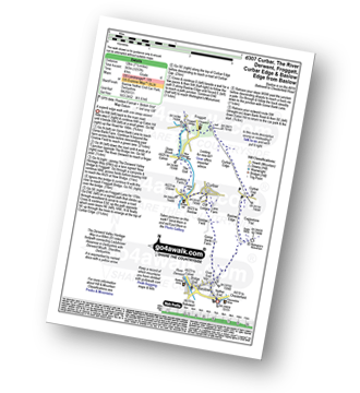
Walk d307 Curbar, The River Derwent, Froggatt, Curbar Edge and Baslow Edge from Baslow

A superb edge walk with one steep ascent

Download GPS Waypoint Data for walk d307
Download GPX Waypoint Data for walk d307
Download Map and Route Details for walk d307

Vital Statistics:

Length:7.5 miles (12 km)
Ascent:1,257ft (383m)
Time:4 hrs
Grade:Grade 4 Walking Moderate
Walk 18 Walking Bootprint Icon

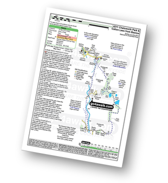
Walk d211 Chatsworth Park from Baslow

A gentle ascent to stupendous scenery

Download GPS Waypoint Data for walk d211
Download GPX Waypoint Data for walk d211
Download Map and Route Details for walk d211

Vital Statistics:

Length:6.5 miles (10.5 km)
Ascent:735ft (224m)
Time:3 hrs
Grade:Grade 3 Walking Easy
Walk 19 Walking Bootprint Icon

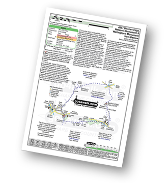
Walk d297 Birchen Edge, Nelson's Monument and Wellington's Monument from Baslow

Fine views from two monuments to Nelson and Wellington

Download GPS Waypoint Data for walk d297
Download GPX Waypoint Data for walk d297
Download Map and Route Details for walk d297

Vital Statistics:

Length:5.75 miles (9 km)
Ascent:890ft (271m)
Time:3 hrs
Grade:Grade 3 Walking Easy
Walk 20 Walking Bootprint Icon

Walk d120 Froggatt Edge from Baslow

A fine edge walk

Download GPS Waypoint Data for walk d120
Download GPX Waypoint Data for walk d120
Download Map and Route Details for walk d120

Vital Statistics:

Length:10 miles (16 km)
Ascent:1,509ft (460m)
Time:5.25hrs
Grade:Grade 5 Walking Moderate
Walk 21 Walking Bootprint Icon

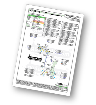
Walk d167 Chatsworth Park from Chatsworth House

The Chatsworth Park Highlights

Download GPS Waypoint Data for walk d167
Download GPX Waypoint Data for walk d167
Download Map and Route Details for walk d167

Vital Statistics:

Length:3.5 miles (5.5 km)
Ascent:528ft (161m)
Time:2 hrs
Grade:Grade 2 Walking Easy
Walk 22 Walking Bootprint Icon

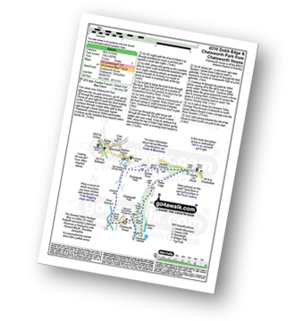
Walk d310 Dobb Edge and Chatsworth Park from Chatsworth House

Fine views over Chatsworth Park

Download GPS Waypoint Data for walk d310
Download GPX Waypoint Data for walk d310
Download Map and Route Details for walk d310

Vital Statistics:

Length:5 miles (8 km)
Ascent:607ft (185m)
Time:2½ hrs
Grade:Grade 3 Walking Easy
Walk 23 Walking Bootprint Icon

Walk d125 Hob Hurst's House and Beeley Moor from Beeley

Huge views - but no paths on the top

Download GPS Waypoint Data for walk d125
Download GPX Waypoint Data for walk d125
Download Map and Route Details for walk d125

Vital Statistics:

Length:8.25 miles (13 km)
Ascent:1,122ft (342m)
Time:4.25hrs
Grade:Grade 4 Walking Moderate
Walk 24 Walking Bootprint Icon

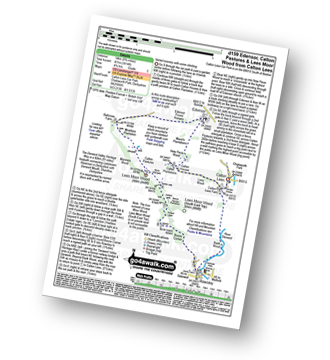
Walk d159 Edensor, Calton Pastures and Lees Moor Wood from Calton Lees

Varied scenery

Download GPS Waypoint Data for walk d159
Download GPX Waypoint Data for walk d159
Download Map and Route Details for walk d159

Vital Statistics:

Length:8.75 miles (14 km)
Ascent:1,414ft (431m)
Time:4.75hrs
Grade:Grade 5 Walking Moderate
Walk 25 Walking Bootprint Icon

Walk d317 Beeley and Beeley Plantation from Calton Lees

Lovely woodland walk

Download GPS Waypoint Data for walk d317
Download GPX Waypoint Data for walk d317
Download Map and Route Details for walk d317

Vital Statistics:

Length:5.5 miles (8.5 km)
Ascent:847ft (258m)
Time:2.75hrs
Grade:Grade 3 Walking Easy
Walk 26 Walking Bootprint Icon

Walk d130 Stanage Edge, High Neb and Bamford Moor from Hathersage

High level route with glorious views

Download GPS Waypoint Data for walk d130
Download GPX Waypoint Data for walk d130
Download Map and Route Details for walk d130

Vital Statistics:

Length:9.5 miles (15 km)
Ascent:2,097ft (639m)
Time:5½ hrs
Grade:Grade 6 Walking Moderate
Walk 27 Walking Bootprint Icon

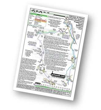
Walk d169 Eyam, Sir William Hill, Stoke Ford, The River Derwent, Grindleford and Froggatt from Stoney Middleton

High level views followed by a river side stroll

Download GPS Waypoint Data for walk d169
Download GPX Waypoint Data for walk d169
Download Map and Route Details for walk d169

Vital Statistics:

Length:9.75 miles (15.5 km)
Ascent:2,074ft (632m)
Time:6 hrs
Grade:Grade 6 Walking Moderate
Walk 28 Walking Bootprint Icon

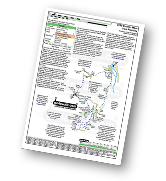
Walk d199 Stanton Moor from Rowsley

The ascent onto Stanton Moor is well worth it

Download GPS Waypoint Data for walk d199
Download GPX Waypoint Data for walk d199
Download Map and Route Details for walk d199

Vital Statistics:

Length:6.5 miles (10.5 km)
Ascent:1,115ft (340m)
Time:3½ hrs
Grade:Grade 4 Walking Moderate
Walk 29 Walking Bootprint Icon

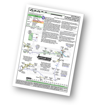
Walk d313 Winster, Youlgreave and Birchover from Darley Bridge

Superb walk full of variety

Download GPS Waypoint Data for walk d313
Download GPX Waypoint Data for walk d313
Download Map and Route Details for walk d313

Vital Statistics:

Length:12.75 miles (20.5 km)
Ascent:1,956ft (596m)
Time:6.75hrs
Grade:Grade 6 Walking Moderate
Walk 30 Walking Bootprint Icon

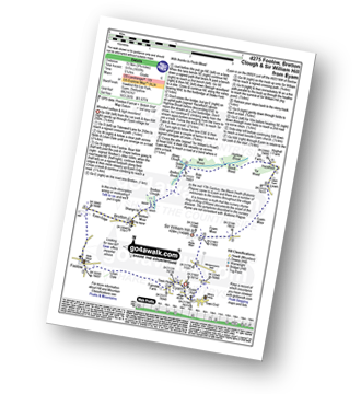
Walk d275 Foolow, Bretton Clough and Sir William Hill from Eyam

Wooded valleys and high moorland - simply stunning

Download GPS Waypoint Data for walk d275
Download GPX Waypoint Data for walk d275
Download Map and Route Details for walk d275

Vital Statistics:

Length:9.75 miles (15.5 km)
Ascent:1,697ft (517m)
Time:5.25hrs
Grade:Grade 6 Walking Moderate


Follow go4awalk.com on Twitter Follow go4awalk.com on Facebook


Do not miss our pick of the Best Walks in the UK