   |
Vital Statistics:
| Length: | 6¾mls (11km) |
| Ascent: | 1,122ft (342m) |
| Time: | 3¾hrs |
| Grade: |  |

Route outline for walk d139:
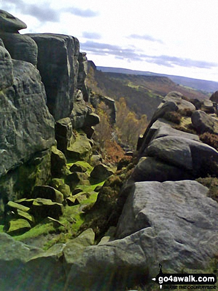
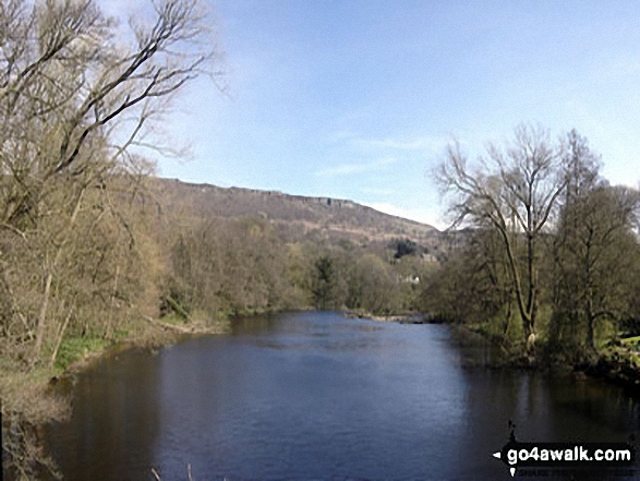
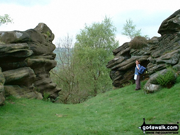
Hay Wood - Longshaw - Froggatt Edge - Curbar Edge - Curbar - The Derwent Valley Heritage Way - The River Derwent - Stocking Farm - The Goit - New Bridge - Stoke Brook - Froggatt Bridge - Derwent Farm - Horse Hay Coppice - Grindleford - Grindleford Church - Hay Wood
National Trails & Long Paths included on this walk:
Part of this walk follows a section of The Derwent Valley Heritage Way, an 82km (51 miles) linear footpath connecting Ladybower Reservoir in Derbyshire, with Derwent Mouth, Shardlow in Derbyshire, England. The Derwent Valley Heritage Way is waymarked by named discs with a yellow arrow. For more walks that include a section of this trail see The Derwent Valley Heritage Way.
You can find this walk and other nearby walks on these unique free-to-access Interactive Walk Planning Maps:
1:25,000 scale OS Explorer Map (orange/yellow covers):
1:50,000 scale OS Landranger Map (pink/magenta covers):
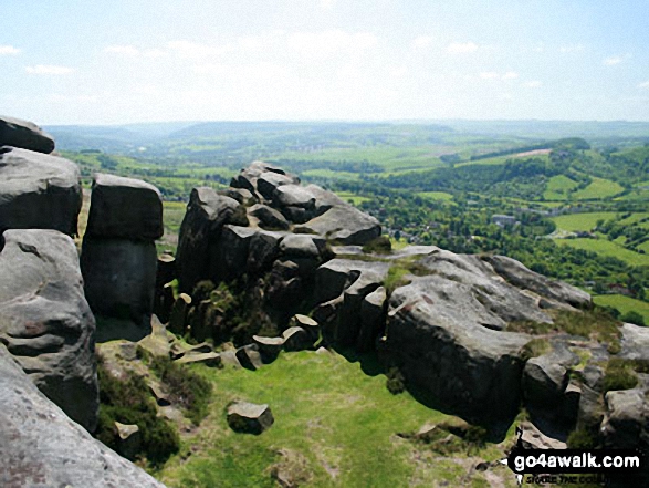
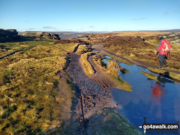
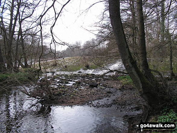
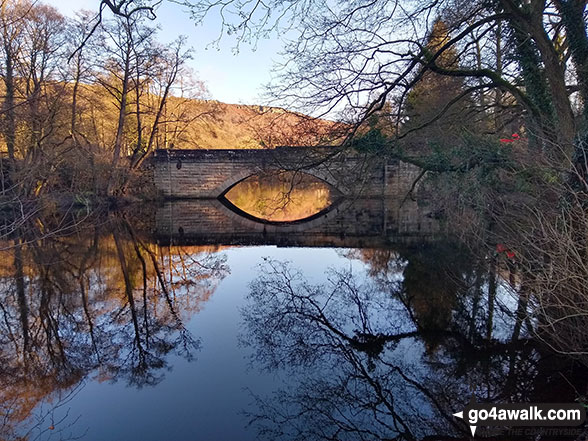
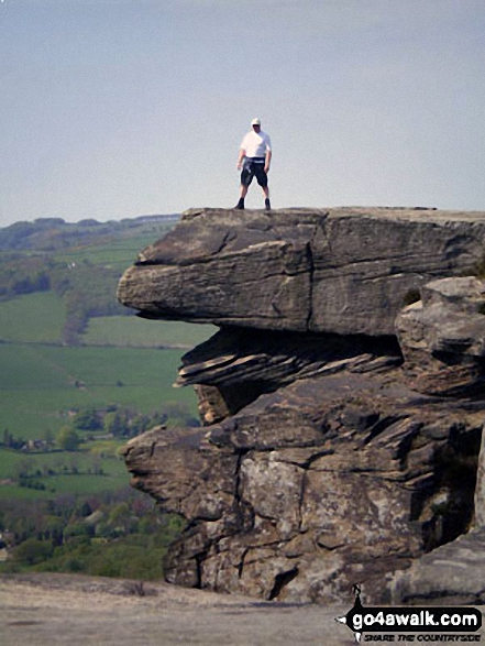
Some Photos and Pictures from Walk d139 Froggatt Edge, Curbar Edge, The Derwent Valley and Grindleford from Hay Wood, Longshaw
In no particular order . . .

2.jpg)


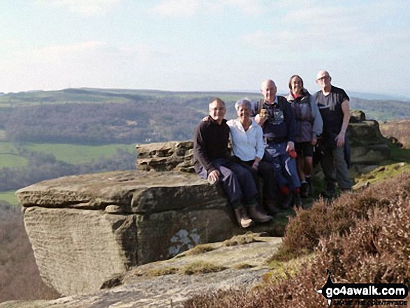
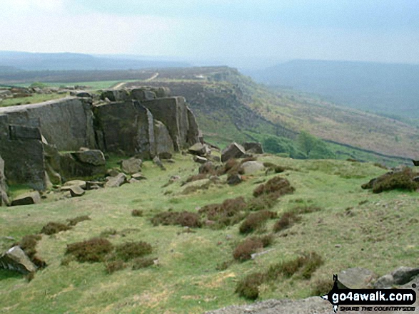
David Morecroft and friends from the Jubilee Walkers on Curbar Edge above Baslow
5.jpg)
Send us your photographs and pictures from your walks and hikes
We would love to see your photographs and pictures from walk d139 Froggatt Edge, Curbar Edge, The Derwent Valley and Grindleford from Hay Wood, Longshaw. Send them in to us as email attachments (configured for any computer) along with your name and where the picture was taken to:
and we shall do our best to publish them.
(Guide Resolution = 300dpi. At least = 660 pixels (wide) x 440 pixels (high).)

You can also submit photos from walk d139 Froggatt Edge, Curbar Edge, The Derwent Valley and Grindleford from Hay Wood, Longshaw via our Facebook Page.
NB. Please indicate where each photo was taken.


