The 30 nearest, easy-to-follow, circular walks, routes & maps to UK Postcode PE8

The thirty nearest, easy-to-follow, circular walks, routes & maps to UK Postcode PE8 in Walk Grade Order

Walk 1 Walking Bootprint Icon

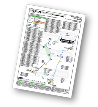
Walk no134 Hardwick from Sywell

Quiet country churches and villages

Download GPS Waypoint Data for walk no134
Download GPX Waypoint Data for walk no134
Download Map and Route Details for walk no134

Vital Statistics:

Length:8.5 miles (13.5 km)
Ascent:246ft (75m)
Time:3½ hrs
Grade:Grade 2 Walking Easy
Walk 2 Walking Bootprint Icon

Walk le102 Sproxton and Coston from Buckminster

Quiet tracks and paths with fine views

Download GPS Waypoint Data for walk le102
Download GPX Waypoint Data for walk le102
Download Map and Route Details for walk le102

Vital Statistics:

Length:7.25 miles (11.5 km)
Ascent:515ft (157m)
Time:3 hrs
Grade:Grade 3 Walking Easy
Walk 3 Walking Bootprint Icon

Walk bd126 Gorewell from Turvey

Quiet country paths

Download GPS Waypoint Data for walk bd126
Download GPX Waypoint Data for walk bd126
Download Map and Route Details for walk bd126

Vital Statistics:

Length:6.5 miles (10 km)
Ascent:328ft (100m)
Time:2½ hrs
Grade:Grade 2 Walking Easy
Walk 4 Walking Bootprint Icon

Walk ca106 Waresley Wood and Gransden Wood from Little Gransden

Beautiful in spring when the Bluebells bloom

Download GPS Waypoint Data for walk ca106
Download GPX Waypoint Data for walk ca106
Download Map and Route Details for walk ca106

Vital Statistics:

Length:4.5 miles (7 km)
Ascent:295ft (90m)
Time:2 hrs
Grade:Grade 2 Walking Easy
Walk 5 Walking Bootprint Icon

Walk no116 The Jurassic Way from West Haddon

Pleasant country walking

Download GPS Waypoint Data for walk no116
Download GPX Waypoint Data for walk no116
Download Map and Route Details for walk no116

Vital Statistics:

Length:5.25 miles (8.5 km)
Ascent:292ft (89m)
Time:2.25hrs
Grade:Grade 2 Walking Easy
Walk 6 Walking Bootprint Icon

Walk no104 Watford and The Jurassic Way from West Haddon

Pleasant country walking

Download GPS Waypoint Data for walk no104
Download GPX Waypoint Data for walk no104
Download Map and Route Details for walk no104

Vital Statistics:

Length:6.5 miles (10.5 km)
Ascent:338ft (103m)
Time:2.75hrs
Grade:Grade 2 Walking Easy
Walk 7 Walking Bootprint Icon

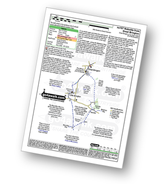
Walk no107 Nobottle from Great Brington

Quaint villages and country trails

Download GPS Waypoint Data for walk no107
Download GPX Waypoint Data for walk no107
Download Map and Route Details for walk no107

Vital Statistics:

Length:5 miles (8 km)
Ascent:345ft (105m)
Time:2.25hrs
Grade:Grade 2 Walking Easy
Walk 8 Walking Bootprint Icon

Walk no120 The Jurassic Way from Watford

Easy country walking on field paths

Download GPS Waypoint Data for walk no120
Download GPX Waypoint Data for walk no120
Download Map and Route Details for walk no120

Vital Statistics:

Length:5.75 miles (9 km)
Ascent:226ft (69m)
Time:2½ hrs
Grade:Grade 2 Walking Easy
Walk 9 Walking Bootprint Icon

Walk ca129 Little Wilbraham from Fulbourn

Quiet country paths

Download GPS Waypoint Data for walk ca129
Download GPX Waypoint Data for walk ca129
Download Map and Route Details for walk ca129

Vital Statistics:

Length:6.5 miles (10 km)
Ascent:82ft (25m)
Time:2½ hrs
Grade:Grade 1 Walking Easy
Walk 10 Walking Bootprint Icon

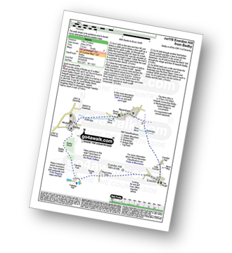
Walk no100 Arbury Hill from Badby

The highest point in Northamptonshire

Download GPS Waypoint Data for walk no100
Download GPX Waypoint Data for walk no100
Download Map and Route Details for walk no100

Vital Statistics:

Length:5.5 miles (9 km)
Ascent:499ft (152m)
Time:2½ hrs
Grade:Grade 3 Walking Easy
Walk 11 Walking Bootprint Icon

Walk no119 Everdon from Badby

Quiet country paths

Download GPS Waypoint Data for walk no119
Download GPX Waypoint Data for walk no119
Download Map and Route Details for walk no119

Vital Statistics:

Length:7 miles (11 km)
Ascent:771ft (235m)
Time:3.25hrs
Grade:Grade 4 Walking Moderate
Walk 12 Walking Bootprint Icon

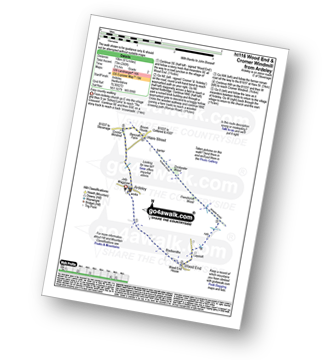
Walk ht116 Wood End and Cromer Windmill from Ardeley

Easy country walking

Download GPS Waypoint Data for walk ht116
Download GPX Waypoint Data for walk ht116
Download Map and Route Details for walk ht116

Vital Statistics:

Length:6.25 miles (70 km)
Ascent:240ft (73m)
Time:2½ hrs
Grade:Grade 2 Walking Easy
Walk 13 Walking Bootprint Icon

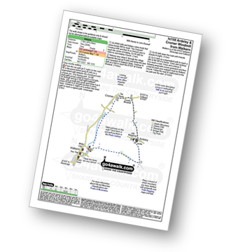
Walk ht108 Ardeley and Cromer Windmill from Walkern

Esy country walking

Download GPS Waypoint Data for walk ht108
Download GPX Waypoint Data for walk ht108
Download Map and Route Details for walk ht108

Vital Statistics:

Length:4.75 miles (7.5 km)
Ascent:249ft (76m)
Time:2 hrs
Grade:Grade 2 Walking Easy
Walk 14 Walking Bootprint Icon

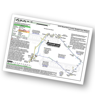
Walk ht101 Wood End and Cromer Windmill from Walkern

Esy country walking

Download GPS Waypoint Data for walk ht101
Download GPX Waypoint Data for walk ht101
Download Map and Route Details for walk ht101

Vital Statistics:

Length:7.5 miles (12 km)
Ascent:315ft (96m)
Time:3 hrs
Grade:Grade 2 Walking Easy
Walk 15 Walking Bootprint Icon

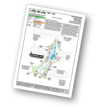
Walk ht112 Fairlands Valley Park, Stevenage

Parkland and ornamental gardens

Download GPS Waypoint Data for walk ht112
Download GPX Waypoint Data for walk ht112
Download Map and Route Details for walk ht112

Vital Statistics:

Length:2.25 miles (3.5 km)
Ascent:72ft (22m)
Time:1 hrs
Grade:Grade 1 Walking Easy
Walk 16 Walking Bootprint Icon

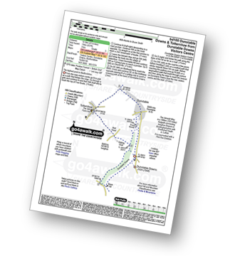
Walk bd100 Dunstable Downs and Totternhoe from Dunstable Downs Visitors Centre

The highest point in Bedfordshire

Download GPS Waypoint Data for walk bd100
Download GPX Waypoint Data for walk bd100
Download Map and Route Details for walk bd100

Vital Statistics:

Length:6.5 miles (10.5 km)
Ascent:637ft (194m)
Time:3 hrs
Grade:Grade 3 Walking Easy
Walk 17 Walking Bootprint Icon

Walk bu141 Beacon Hill from Dagnall

Spectacular views

Download GPS Waypoint Data for walk bu141
Download GPX Waypoint Data for walk bu141
Download Map and Route Details for walk bu141

Vital Statistics:

Length:6.5 miles (10 km)
Ascent:722ft (220m)
Time:3 hrs
Grade:Grade 3 Walking Easy
Walk 18 Walking Bootprint Icon

Walk li143 Southrey from Bardney

Quiet lanes and paths

Download GPS Waypoint Data for walk li143
Download GPX Waypoint Data for walk li143
Download Map and Route Details for walk li143

Vital Statistics:

Length:8.75 miles (14 km)
Ascent:36ft (11m)
Time:3 hrs
Grade:Grade 1 Walking Easy
Walk 19 Walking Bootprint Icon

Walk ox148 Fringford from Stoke Lyne

Beautiful rural Oxfordshire

Download GPS Waypoint Data for walk ox148
Download GPX Waypoint Data for walk ox148
Download Map and Route Details for walk ox148

Vital Statistics:

Length:7.75 miles (12.5 km)
Ascent:295ft (90m)
Time:3.25hrs
Grade:Grade 3 Walking Easy
Walk 20 Walking Bootprint Icon

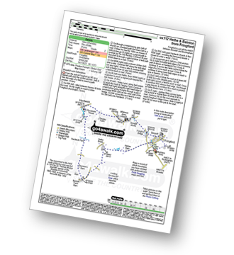
Walk ox112 Hethe and Bainton from Fringford

Beautiful rural Oxfordshire

Download GPS Waypoint Data for walk ox112
Download GPX Waypoint Data for walk ox112
Download Map and Route Details for walk ox112

Vital Statistics:

Length:6.75 miles (10 km)
Ascent:256ft (78m)
Time:2.75hrs
Grade:Grade 2 Walking Easy
Walk 21 Walking Bootprint Icon

Walk le101 Donisthorpe Woodland Park from The Conkers Discovery Centre, Swadlincote

A former railway line & regenerated parkland

Download GPS Waypoint Data for walk le101
Download GPX Waypoint Data for walk le101
Download Map and Route Details for walk le101

Vital Statistics:

Length:3.5 miles (5.5 km)
Ascent:289ft (88m)
Time:1.75hrs
Grade:Grade 1 Walking Easy
Walk 22 Walking Bootprint Icon

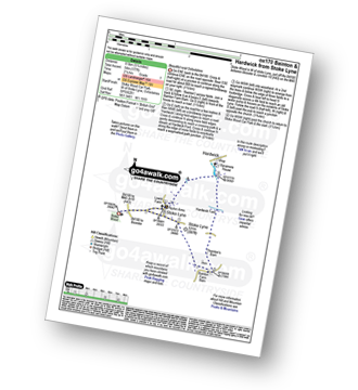
Walk ox170 Hardwick from Stoke Lyne

Beautiful rural Oxfordshire

Download GPS Waypoint Data for walk ox170
Download GPX Waypoint Data for walk ox170
Download Map and Route Details for walk ox170

Vital Statistics:

Length:5.25 miles (8.5 km)
Ascent:177ft (54m)
Time:2.25hrs
Grade:Grade 1 Walking Easy
Walk 23 Walking Bootprint Icon

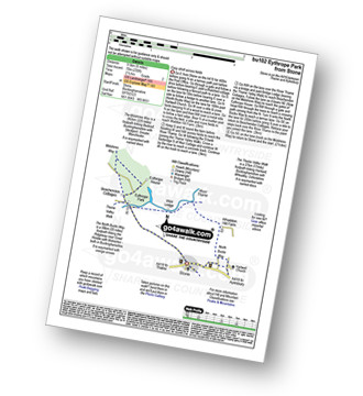
Walk bu102 Eythrope Park from Stone

Easy stroll across fields

Download GPS Waypoint Data for walk bu102
Download GPX Waypoint Data for walk bu102
Download Map and Route Details for walk bu102

Vital Statistics:

Length:6.5 miles (10.5 km)
Ascent:230ft (70m)
Time:2½ hrs
Grade:Grade 2 Walking Easy
Walk 24 Walking Bootprint Icon

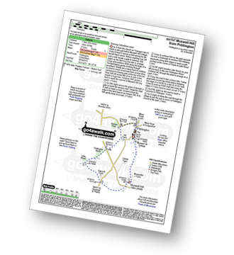
Walk ox157 Muswell Hill from Piddington

Stunning Oxfordshire views

Download GPS Waypoint Data for walk ox157
Download GPX Waypoint Data for walk ox157
Download Map and Route Details for walk ox157

Vital Statistics:

Length:4.75 miles (7.5 km)
Ascent:476ft (145m)
Time:2.25hrs
Grade:Grade 2 Walking Easy
Walk 25 Walking Bootprint Icon

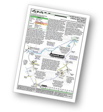
Walk bu168 The River Thame and Nether Winchendon from Dinton

Pretty level walk through pretty villages

Download GPS Waypoint Data for walk bu168
Download GPX Waypoint Data for walk bu168
Download Map and Route Details for walk bu168

Vital Statistics:

Length:9 miles (14.5 km)
Ascent:328ft (100m)
Time:3½ hrs
Grade:Grade 3 Walking Easy
Walk 26 Walking Bootprint Icon

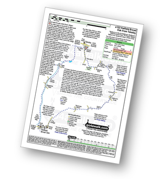
Walk e152 Hatfield Broad Oak from Takeley

Level walk through pretty Essex villages

Download GPS Waypoint Data for walk e152
Download GPX Waypoint Data for walk e152
Download Map and Route Details for walk e152

Vital Statistics:

Length:9 miles (14.5 km)
Ascent:256ft (78m)
Time:3.75hrs
Grade:Grade 2 Walking Easy
Walk 27 Walking Bootprint Icon

Walk bu118 Monument Hill (Coombe Hill) from Butler's Cross

A steep ascent to superb views

Download GPS Waypoint Data for walk bu118
Download GPX Waypoint Data for walk bu118
Download Map and Route Details for walk bu118

Vital Statistics:

Length:5.5 miles (9 km)
Ascent:853ft (260m)
Time:3 hrs
Grade:Grade 3 Walking Easy
Walk 28 Walking Bootprint Icon

Walk ox137 Steeple Aston, Middle Aston, North Aston and The Oxford Canal from Lower Heyford

Quiet country lanes and canal towpaths

Download GPS Waypoint Data for walk ox137
Download GPX Waypoint Data for walk ox137
Download Map and Route Details for walk ox137

Vital Statistics:

Length:9.75 miles (15 km)
Ascent:555ft (169m)
Time:4 hrs
Grade:Grade 4 Walking Moderate
Walk 29 Walking Bootprint Icon

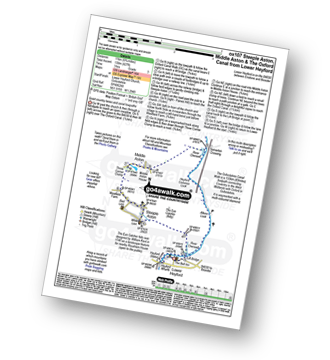
Walk ox107 Steeple Aston, Middle Aston and The Oxford Canal from Lower Heyford

Quiet country lanes and canal towpaths

Download GPS Waypoint Data for walk ox107
Download GPX Waypoint Data for walk ox107
Download Map and Route Details for walk ox107

Vital Statistics:

Length:6.75 miles (11 km)
Ascent:427ft (130m)
Time:3 hrs
Grade:Grade 3 Walking Easy
Walk 30 Walking Bootprint Icon

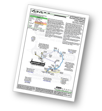
Walk ox124 Steeple Aston and The Oxford Canal from Lower Heyford

Quiet country lanes and canal towpaths

Download GPS Waypoint Data for walk ox124
Download GPX Waypoint Data for walk ox124
Download Map and Route Details for walk ox124

Vital Statistics:

Length:4.75 miles (7.5 km)
Ascent:368ft (112m)
Time:2.25hrs
Grade:Grade 2 Walking Easy


Follow go4awalk.com on Twitter Follow go4awalk.com on Facebook


Do not miss our pick of the Best Walks in the UK