   |
Vital Statistics:
| Length: | 6½mls (10km) |
| Ascent: | 328ft (100m) |
| Time: | 2½hrs |
| Grade: |  |

Route outline for walk bd126:
Turvey - Turvey Abbey - Priory Farm - Grotto Plantation - Hill Spinney - Ramacre Wood - Gorewell - The Milton Keynes Boundary Walk - Gullet Wood - Keepers (Church's) Cottage - Woodside - Turvey
National Trails & Long Paths included on this walk:
Part of this walk follows a section of The Milton Keynes Boundary Walk, a 101km (63 miles) circular footpath starting and finishing in Stony Stratford in Buckinghamshire, . The Milton Keynes Boundary Walk is waymarked by an oak leaf. For more walks that include a section of this trail see The Milton Keynes Boundary Walk.
Free-to-access Interactive Walk Planning Maps:
1:25,000 scale OS Explorer Map (orange/yellow covers):
An Interactive Walk Planning Map for OS Explorer 208 Bedford & St Neots is not currently available
1:50,000 scale OS Landranger Map (pink/magenta covers):
An Interactive Walk Planning Map for OS Landranger 153 Bedford & Huntingdon, St Neots & Biggleswade is not currently available
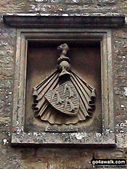
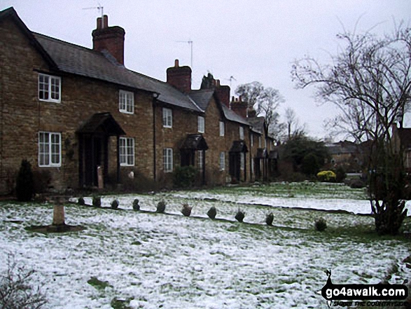
Some Photos and Pictures from Walk bd126 Gorewell from Turvey
In no particular order . . .


Send us your photographs and pictures from your walks and hikes
We would love to see your photographs and pictures from walk bd126 Gorewell from Turvey. Send them in to us as email attachments (configured for any computer) along with your name and where the picture was taken to:
and we shall do our best to publish them.
(Guide Resolution = 300dpi. At least = 660 pixels (wide) x 440 pixels (high).)

You can also submit photos from walk bd126 Gorewell from Turvey via our Facebook Page.
NB. Please indicate where each photo was taken.


