UK Postcode FY8 - The 30 nearest easy-to-follow, circular walk route maps to you
The thirty nearest easy-to-follow, circular walk route maps to you in UK Postcode FY8 in Walk Grade Order
The UK cities, towns and villages in Lancashire, England that have FY8 in their UK Postcode include:
• Ansdell • Higher Ballam • Lytham • Lytham St Anne's • Saltcotes • St Anne's •
Not familiar with the area around FY8?
See these 30 nearest walks to UK Postcode FY8 on a google map

   |
Vital Statistics:
| Length: | 6.25 miles (10 km) |
| Ascent: | 128ft (39m) |
| Time: | 2½ hrs |
| Grade: |  |
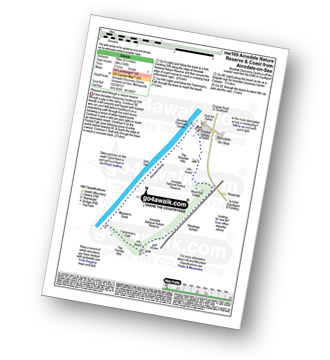
Route Summary:
Ainsdale-on-Sea - Ainsdale Discovery Centre - Ainsdale Nature Reserve - Ainsdale Hills - West End Lodge - Woodvale Airfield - The Formby Hills - Massam's Slack - Irish Sea - Ainsdale Sands - Ainsdale-on-Sea


|
Vital Statistics:
| Length: | 8.25 miles (13 km) |
| Ascent: | 1,230ft (375m) |
| Time: | 4 hrs |
| Grade: |  |
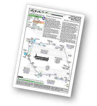
Route Summary:
White Coppice - Wheelton Moor - Withnell Moor - Great Hill - Redmonds Edge - Spitlers Edge - Horden Pasture - Lead Mines Clough - Anglezarke Reservoir - White Coppice

|
Vital Statistics:
| Length: | 10 miles (16 km) |
| Ascent: | 1,597ft (487m) |
| Time: | 5.25hrs |
| Grade: |  |
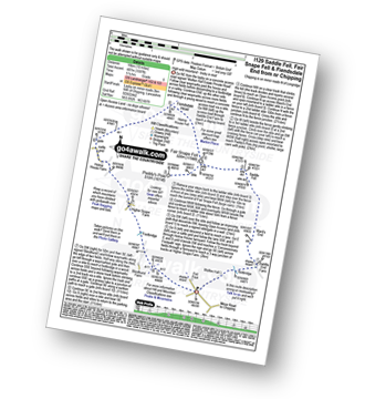
Route Summary:
Fell Foot (nr Chipping) - Wolfen Hall - Saddle End Farm - Ward's End - Saddle Fell - Paddy's Pole (Fair Snape Fell) - Fair Snape Fell - Holme House Fell - Fiendsdale Head - Holme House Farm - Higher Snape Farm - Fell Foot (nr Chipping)

|
Vital Statistics:
| Length: | 7.75 miles (12.5 km) |
| Ascent: | 1,538ft (469m) |
| Time: | 4½ hrs |
| Grade: | |
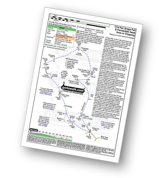
Route Summary:
Fell Foot (nr Chipping) - Parlick - Blindhurst Fell - Wolf Fell - Paddy's Pole (Fair Snape Fell) - Fair Snape Fell - Holme House Fell - Fiendsdale Head - Holme House Farm - Higher Snape Farm - Fell Foot (nr Chipping)

|
Vital Statistics:
| Length: | 6 miles (9.5 km) |
| Ascent: | 1,279ft (390m) |
| Time: | 3½ hrs |
| Grade: |  |

Route Summary:
Fell Foot (nr Chipping) - Parlick - Blindhurst Fell - Wolf Fell - Paddy's Pole (Fair Snape Fell) - Fair Snape Fell - Saddle Fell - Ward's End - Saddle End Farm - Wolfen Hall - Fell Foot (nr Chipping)

|
Vital Statistics:
| Length: | 6.25 miles (10 km) |
| Ascent: | 879ft (268m) |
| Time: | 3.25hrs |
| Grade: | |

Route Summary:
Lower Rivington Reservoir - Rivington - Upper Rivington Reservoir - Pilkington Wood - Street Wood - Yarrow Reservoir - Bradley Wood - Anglezarke Reservoir - High Bullough Reservoir - John Meadow Wood - Heapey Waterman's Cottage - Grey Heights Wood - Heapey Fold Lane - Kays Farm - Waring Fram - Lane Ends (Adlington) - Upper Rivington Reservoir - Lower Rivington Reservoir

|
Vital Statistics:
| Length: | 6 miles (9.5 km) |
| Ascent: | 859ft (262m) |
| Time: | 3 hrs |
| Grade: |  |
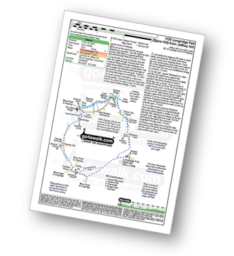
Route Summary:
Jeffrey Hill - Thornley Hall - Gibbon Bridge - River Loud - River Hodder - Weedacre Farm - Longridge Fell (Spire Hill) - Jeffrey Hill

|
Vital Statistics:
| Length: | 4.5 miles (7 km) |
| Ascent: | 893ft (272m) |
| Time: | 2½ hrs |
| Grade: | |

Route Summary:
Great House Information Centre - Rivington Hall - Rivington Cottage - Rivington Upper Barn - Pigeon Tower (Rivington Moor) - Rivington Pike - Brown Hill (Rivington Moor) - Higher Knoll - Rivington Lane Car Park - Lever Park - The Castle (Lower Rivington Reservoir) - Lower Rivington Reservoir - Great House Information Centre

|
Vital Statistics:
| Length: | 5.5 miles (8.5 km) |
| Ascent: | 1,113ft (339m) |
| Time: | 3.25hrs |
| Grade: | |
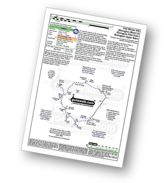
Route Summary:
Rivington Upper Barn - Pigeon Tower (Rivington Moor) - Catter Nab - Noon Hill Slack - Moor Bottom - Winter Hill (Rivington Moor) - Crooked Edge Hill - Two Lads (Rivington Moor) - Pike Cottage - Brown Hill (Rivington Moor) - Rivington Pike - Pigeon Tower (Rivington Moor) - Rivington Upper Barn

|
Vital Statistics:
| Length: | 7.75 miles (12.5 km) |
| Ascent: | 1,536ft (468m) |
| Time: | 4½ hrs |
| Grade: | |
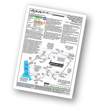
Route Summary:
Rivington Lane Car Park - Lever Park - The Castle (Lower Rivington Reservoir) - Lower Rivington Reservoir - Great House Information Centre - Rivington Hall - Rivington Cottage - Rivington Upper Barn - Pigeon Tower (Rivington Moor) - Catter Nab - Noon Hill Slack - Moor Bottom - Winter Hill (Rivington Moor) - Crooked Edge Hill - Two Lads (Rivington Moor) - Pike Cottage - Brown Hill (Rivington Moor) - Rivington Pike - Higher Knoll - Rivington Lane Car Park

|
Vital Statistics:
| Length: | 17.5 miles (28 km) |
| Ascent: | 2,186ft (666m) |
| Time: | 8½ hrs |
| Grade: |  |
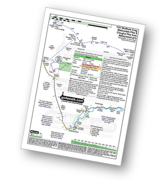
Route Summary:
Abbeystead - Stoops Bridge - Tarnbrook Wyre - Lee - Tarnbrook - Higher Syke - Black Side of Tarnbrook Fell - Gables Clough - Tarnbrook Fell - Brown Syke - Wolfhole Crag - Mallowdale Pike (Mallowdale Fell) - Ward's Stone (Mallowdale Fell) - Ward's Stone Breast - Cabin Flat - Lee Fell - Burrow Fell - Grit Fell - Clougha Pike - Shooters Pile - Appletree Moss - Hare Appletree Fell - Jubilee Tower - Lainsley Slack - Abbeystead

|
Vital Statistics:
| Length: | 12.25 miles (19.5 km) |
| Ascent: | 1,960ft (515m) |
| Time: | 6.25hrs |
| Grade: | |

Route Summary:
Abbeystead - Stoops Bridge - Tarnbrook Wyre - Lee - Tarnbrook - Higher Syke - Black Side of Tarnbrook Fell - Gables Clough - Tarnbrook Fell - Brown Syke - Mallowdale Pike (Mallowdale Fell) - Ward's Stone (Mallowdale Fell) - Ward's Stone Breast - Cabin Flat - Lee Fell - Grizedale Head - Rotten Hill - Margery's Hill - Higher Lee Farm - Rakehouse Barn - Grizedale Bridge - Abbeystead

|
Vital Statistics:
| Length: | 9.75 miles (15.5 km) |
| Ascent: | 1,487ft (453m) |
| Time: | 5 hrs |
| Grade: | |
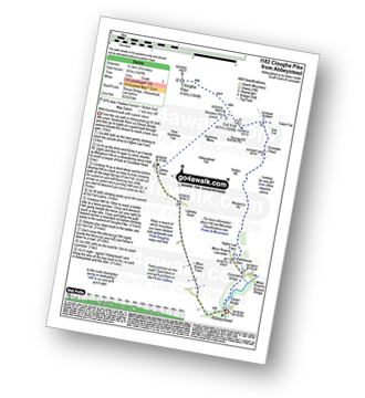
Route Summary:
Abbeystead - Stoops Bridge - Tarnbrook Wyre - LCrizedale Bridge - Rakehouse Barn - Higher Lee Farm - Margery's Hill - Rotten Hill - Grizedale Head - Lee Fell - Burrow Fell - Grit Fell - Clougha Pike - Shooters Pile - Appletree Moss - Hare Appletree Fell - Jubilee Tower - Lainsley Slack - Abbeystead

|
Vital Statistics:
| Length: | 4 miles (6.5 km) |
| Ascent: | 417ft (127m) |
| Time: | 2 hrs |
| Grade: |  |
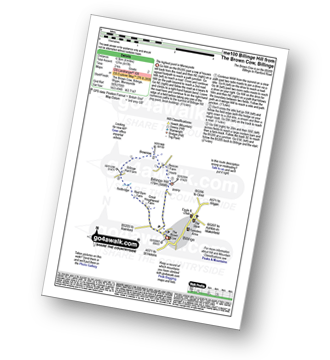
Route Summary:
Billinge - Billinge Hill - Beacon Farm - Brownlow - Billinge Hall Farm - Red Barn Farm - Great Houghwood Farm - Billinge

|
Vital Statistics:
| Length: | 3.25 miles (5 km) |
| Ascent: | 131ft (40m) |
| Time: | 1.25hrs |
| Grade: | |

Route Summary:
Crook o' Lune - Caton - The River Lune - Crook o' Lune Wood - Artle Beck - Waterworks Bridge - Applehouse Wood - Highfield Beck - Crook o' Lune
Not familiar with the area around FY8?
See these 30 nearest walks to UK Postcode FY8 on a google map

|
Vital Statistics:
| Length: | 8 miles (12.5 km) |
| Ascent: | 1,280ft (390m) |
| Time: | 4.25hrs |
| Grade: | |
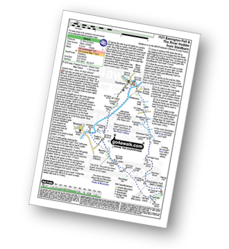
Route Summary:
Slaidburn - King Syke - Broadhead Farm - Easington Brook - Skelshaw Brook - Skelshaw Farm - Fell Side Farm - Harrop Fell - Easington Fell - Old Ned - Old Ned's Wife - Sadler Hill - Smelfthwaite Farm - Meanley Farm - Fowler's Laithe - Newton - River Hodder - Dunnow Hall - Dunnow Lodge - Slaidburn

|
Vital Statistics:
| Length: | 7 miles (11 km) |
| Ascent: | 1,198ft (365m) |
| Time: | 3.75hrs |
| Grade: | |
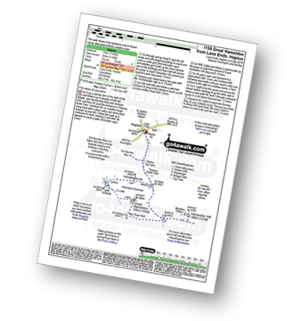
Route Summary:
Lane Ends - Hapton - The Burnley Way - Hameldon Hill - May Road Well - Great Hameldon - Hameldon Common - Hameldon Scouts - Lane Ends - Hapton.

|
Vital Statistics:
| Length: | 6.75 miles (11 km) |
| Ascent: | 1,050ft (320m) |
| Time: | 3.75hrs |
| Grade: | |
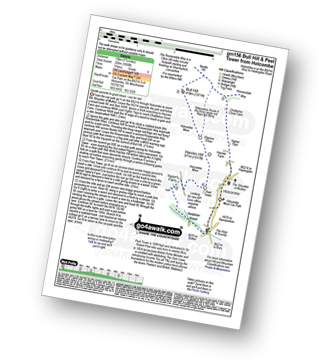
Route Summary:
Holcombe Moor Car Park - Holcombe - Higher Tops - Chatterton Close Farm - Buckden Wood - The Rossendale Way - Beetle Hill - Bull Hill (Holcombe Moor) - Pilgrim's Cross - Harcles Hill - Peel Tower - Taylor's Farm - Redisher Wood - Holcombe Brook - Holcombe Car Park.

|
Vital Statistics:
| Length: | 5.25 miles (8.5 km) |
| Ascent: | 686ft (210m) |
| Time: | 2.75hrs |
| Grade: | |
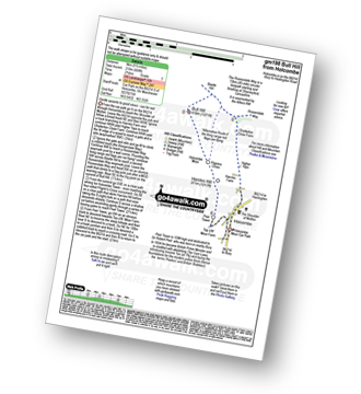
Route Summary:
Holcombe Moor Car Park - Holcombe - Higher Tops - Chatterton Close Farm - Buckden Wood - The Rossendale Way - Beetle Hill - Bull Hill (Holcombe Moor) - Pilgrim's Cross - Harcles Hill - Peel Tower - Top o'th'Moor Farm - Branch Road - Holcombe Moor Car Park

|
Vital Statistics:
| Length: | 4 miles (6.5 km) |
| Ascent: | 590ft (180m) |
| Time: | 2.25hrs |
| Grade: | |
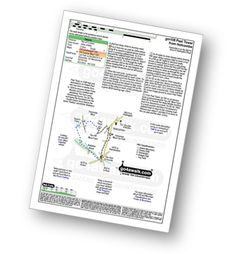
Route Summary:
Holcombe Moor Car Park - Branch Rd - Top O'th' Moor Farm - Peel Tower - Taylor's Farm - Redisher Wood - Holcombe Brook - Holcombe Moor Car Park

|
Vital Statistics:
| Length: | 7.25 miles (11.5 km) |
| Ascent: | 1,355ft (413m) |
| Time: | 4 hrs |
| Grade: | |

Route Summary:
Edenfield - Gin Croft Lane - Dearden Moor - Sand Beds Farm - Cowpe Lowe - The Rossendale Way - Foe Edge - Cowpe Moss - Cragg Quarry - Hail Storm Hill - Tottington Higher End Moor - Whittle Hill - New Gate Brook - Fecit Delf Endm Scout Moss - Turn - Dearden Clough - Edenfield

|
Vital Statistics:
| Length: | 5 miles (8 km) |
| Ascent: | 1,044ft (318m) |
| Time: | 3 hrs |
| Grade: | |
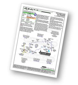
Route Summary:
Edenfield - Gin Croft Lane - Dearden Moor - Sand Beds Farm - Cowpe Lowe - The Rossendale Way - Foe Edge - Horncliffe Close - Waugh's Well Reservoir - Scout Moor Brook - Dearden Clough - Edenfield

|
Vital Statistics:
| Length: | 8.75 miles (14 km) |
| Ascent: | 1,615ft (492m) |
| Time: | 5 hrs |
| Grade: | |

Route Summary:
Cross of Greet Bridge - Near Crosty Clough - Shooters' Huts - Far Costy Clough - White Hill (Forest of Bowland) - Botton Head Hill - Whitray Fell - Cross of Greet - Great Harlow - Raven's Castle - Crowd Stones - Catlow Fell (Ravens Castle) - Hailshowers Fell - Cold Stone - Copy Nook - Knottend Well - Crutchenber Fell (Bowland Knotts) - Pike Side - Catlow Farm - Kearsdon Holes - The River Hodder - Cross of Greet Bridge

|
Vital Statistics:
| Length: | 5.75 miles (9 km) |
| Ascent: | 1,113ft (339m) |
| Time: | 3.25hrs |
| Grade: | |

Route Summary:
Cross of Greet Bridge - Near Crosty Clough - Shooters' Huts - Far Costy Clough - White Hill (Forest of Bowland) - Botton Head Hill - Whitray Fell - Cross of Greet - Cross of Greet Bridge

|
Vital Statistics:
| Length: | 7 miles (11 km) |
| Ascent: | 1,224ft (373m) |
| Time: | 3.75hrs |
| Grade: | |
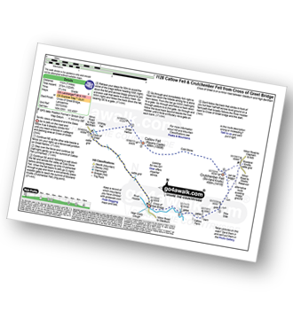
Route Summary:
Cross of Greet Bridge - The River Hodder - Cross of Greet - Great Harlow - Raven's Castle - Crowd Stones - Catlow Fell (Ravens Castle) - Hailshowers Fell - Cold Stone - Copy Nook - Knottend Well - Crutchenber Fell (Bowland Knotts) - Pike Side - Catlow Farm - Kearsdon Holes - The River Hodder - Cross of Greet Bridge

|
Vital Statistics:
| Length: | 3.75 miles (6 km) |
| Ascent: | 309ft (94m) |
| Time: | 1.75hrs |
| Grade: | |
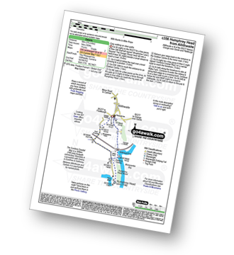
Route Summary:
Allithwaite - Wraysholme Tower - The Cumbria Coastal Way - Humphrey Head - Humphrey Head Wood - Wyke Farm - Kirkhead End - Allithwaite

|
Vital Statistics:
| Length: | 8.25 miles (13 km) |
| Ascent: | 1,230ft (396m) |
| Time: | 4.25hrs |
| Grade: | |
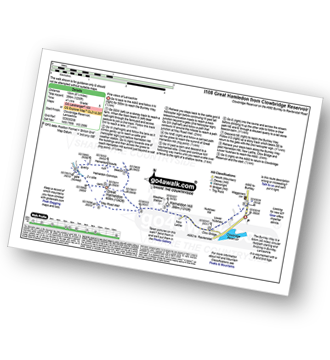
Route Summary:
Clowbridge Reservoir - The Burnley Way - Nutshaw Hill - Lower Nutshaw - Hameldon Hill - May Road Well - Great Hameldon - Hameldon Common - Hameldon Scouts - Clowbridge Reservoir

|
Vital Statistics:
| Length: | 9.5 miles (15 km) |
| Ascent: | 1,543ft (470m) |
| Time: | 5 hrs |
| Grade: | |
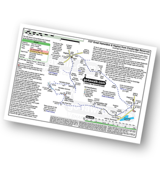
Route Summary:
Clowbridge Reservoir - The Burnley Way - Nutshaw Hill - Lower Nutshaw - Hameldon Hill - May Road Well - Great Hameldon - Hameldon Common - Hameldon Scouts - Lane Ends - Hapton - New Barn Farm - Helm Clough - Clowbridge Reservoir

|
Vital Statistics:
| Length: | 10.5 miles (16.5 km) |
| Ascent: | 1,697ft (499m) |
| Time: | 5½ hrs |
| Grade: | |
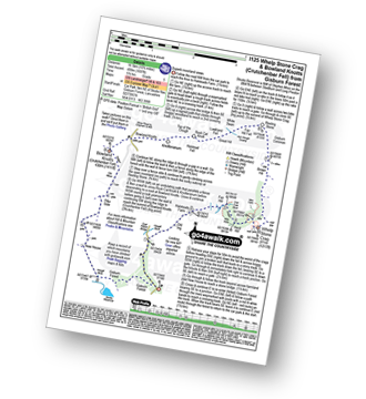
Route Summary:
Gisburn Forest - Halsteads Farm - Fair Hill - Herd Hill - Whelp Stone Crag - Brown Hill - Gisburn Common - Resting Stone - Ash Clough Swamp - Lawkland Fell - Rock Cat Knoll - Halstead Fell - Knotteranum - Crutchenber Fell (Bowland Knotts) - Pike Side - New House - Hasgill Beck - Stocks Reservoir - Gisburn Forest

|
Vital Statistics:
| Length: | 8.5 miles (13.5 km) |
| Ascent: | 1,694ft (516m) |
| Time: | 4.75hrs |
| Grade: | |
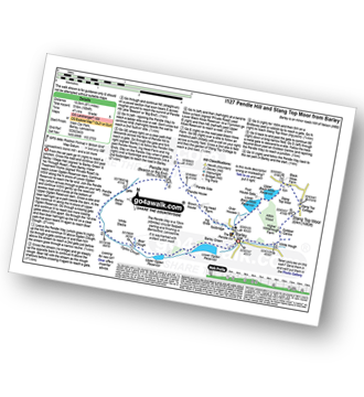
Route Summary:
Barley - Lower Ogden Reservoir - The Pendle Way - Upper Ogden Reservoir - Boar Clough - Ogden Clough - Pendle Moor - Barley Moor - Pendle Hill (Beacon or Big End) - Pendle House - Ing Head Farm - Ing Ends - Barley - Lower Black Moss Reservoir - Upper Black Moss Reservoir - Stang Top Moor - White Hough - Barley
Not familiar with the area around FY8?
See these 30 nearest walks to UK Postcode FY8 on a google map