The 30 nearest, easy-to-follow, circular walks, routes & maps to UK Postcode BN16

The thirty nearest, easy-to-follow, circular walks, routes & maps to UK Postcode BN16 in Walk Grade Order

Walk 1 Walking Bootprint Icon

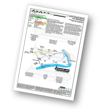
Walk ws141 Climping Beach from Atherington

Sand dunes and coastal vistas

Download GPS Waypoint Data for walk ws141
Download GPX Waypoint Data for walk ws141
Download Map and Route Details for walk ws141

Vital Statistics:

Length:3.5 miles (5.5 km)
Ascent:16ft (5m)
Time:1½ hrs
Grade:Grade 1 Walking Easy
Walk 2 Walking Bootprint Icon

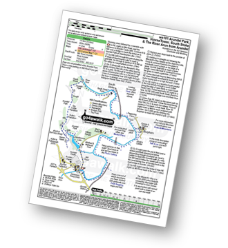
Walk ws101 Arundel Park and South Stoke from Arundel

Stunning views followed by a riverside walk

Download GPS Waypoint Data for walk ws101
Download GPX Waypoint Data for walk ws101
Download Map and Route Details for walk ws101

Vital Statistics:

Length:9 miles (14.5 km)
Ascent:948ft (289m)
Time:4.25hrs
Grade:Grade 4 Walking Moderate
Walk 3 Walking Bootprint Icon

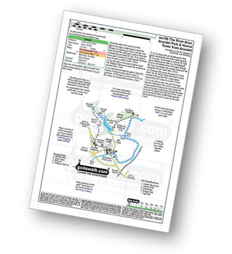
Walk ws156 Swanbourne Lake from Arundel

Delightful parkland and lake

Download GPS Waypoint Data for walk ws156
Download GPX Waypoint Data for walk ws156
Download Map and Route Details for walk ws156

Vital Statistics:

Length:4.75 miles (7.5 km)
Ascent:475ft (145m)
Time:2½ hrs
Grade:Grade 2 Walking Easy
Walk 4 Walking Bootprint Icon

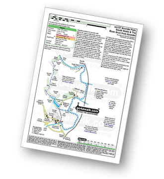
Walk ws127 Arundel Park, South Stoke and The River Arun from Arundel

Delightful parkland and riverside walk

Download GPS Waypoint Data for walk ws127
Download GPX Waypoint Data for walk ws127
Download Map and Route Details for walk ws127

Vital Statistics:

Length:6.75 miles (11 km)
Ascent:715ft (218m)
Time:3.25hrs
Grade:Grade 3 Walking Easy
Walk 5 Walking Bootprint Icon

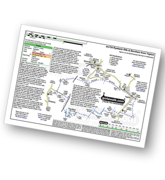
Walk ws154 Westfield and Barnham from Yapton

Fields, rifes & an ancient canal

Download GPS Waypoint Data for walk ws154
Download GPX Waypoint Data for walk ws154
Download Map and Route Details for walk ws154

Vital Statistics:

Length:6.25 miles (10 km)
Ascent:40ft (12m)
Time:2.25hrs
Grade:Grade 1 Walking Easy
Walk 6 Walking Bootprint Icon

Walk ws143 Camp Hill and Amberley Castle from Amberley

Fabulous Sussex views and a riverside stroll

Download GPS Waypoint Data for walk ws143
Download GPX Waypoint Data for walk ws143
Download Map and Route Details for walk ws143

Vital Statistics:

Length:6.25 miles (10 km)
Ascent:660ft (201m)
Time:3 hrs
Grade:Grade 3 Walking Easy
Walk 7 Walking Bootprint Icon

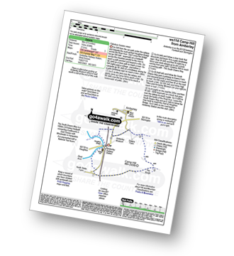
Walk ws114 Camp Hill from Amberley

Fabulous Sussex views

Download GPS Waypoint Data for walk ws114
Download GPX Waypoint Data for walk ws114
Download Map and Route Details for walk ws114

Vital Statistics:

Length:5.5 miles (9 km)
Ascent:630ft (192m)
Time:2½ hrs
Grade:Grade 3 Walking Easy
Walk 8 Walking Bootprint Icon

Walk ws169 Slindon Woods from Slindon

Easy woodland walking

Download GPS Waypoint Data for walk ws169
Download GPX Waypoint Data for walk ws169
Download Map and Route Details for walk ws169

Vital Statistics:

Length:3.75 miles (6 km)
Ascent:312ft (95m)
Time:1.75hrs
Grade:Grade 2 Walking Easy
Walk 9 Walking Bootprint Icon

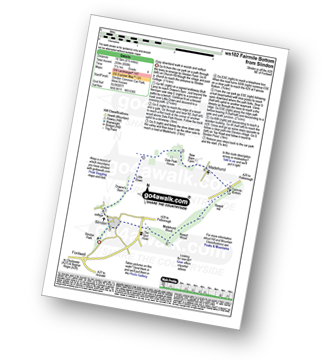
Walk ws102 Fairmile Bottom from Slindon

Easy downland walk in woods and valleys

Download GPS Waypoint Data for walk ws102
Download GPX Waypoint Data for walk ws102
Download Map and Route Details for walk ws102

Vital Statistics:

Length:6.5 miles (10.5 km)
Ascent:850ft (259m)
Time:3.25hrs
Grade:Grade 4 Walking Moderate
Walk 10 Walking Bootprint Icon

Walk ws166 Nore Folly and Fairmile Bottom from Slindon

Long downland walk with fine views

Download GPS Waypoint Data for walk ws166
Download GPX Waypoint Data for walk ws166
Download Map and Route Details for walk ws166

Vital Statistics:

Length:10 miles (16 km)
Ascent:1,237ft (377m)
Time:4 hrs
Grade:Grade 5 Walking Moderate
Walk 11 Walking Bootprint Icon

Walk ws135 Nore Folly from Slindon

Easy walk to stupendous views

Download GPS Waypoint Data for walk ws135
Download GPX Waypoint Data for walk ws135
Download Map and Route Details for walk ws135

Vital Statistics:

Length:5 miles (8 km)
Ascent:522ft (159m)
Time:2½ hrs
Grade:Grade 3 Walking Easy
Walk 12 Walking Bootprint Icon

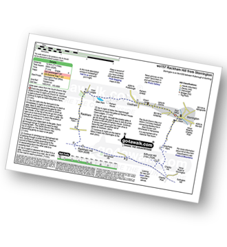
Walk ws157 Rackham Hill from Storrington

Wide open views from the South Downs Way

Download GPS Waypoint Data for walk ws157
Download GPX Waypoint Data for walk ws157
Download Map and Route Details for walk ws157

Vital Statistics:

Length:7.75 miles (12.5 km)
Ascent:932ft (284m)
Time:3.75hrs
Grade:Grade 4 Walking Moderate
Walk 13 Walking Bootprint Icon

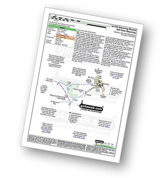
Walk ws122 Steyning Round Hill from Steyning

Fine views of the South Downs

Download GPS Waypoint Data for walk ws122
Download GPX Waypoint Data for walk ws122
Download Map and Route Details for walk ws122

Vital Statistics:

Length:3.75 miles (6 km)
Ascent:689ft (210m)
Time:2.25hrs
Grade:Grade 3 Walking Easy
Walk 14 Walking Bootprint Icon

Walk ws107 Thakeham from Ashington

Easy stroll

Download GPS Waypoint Data for walk ws107
Download GPX Waypoint Data for walk ws107
Download Map and Route Details for walk ws107

Vital Statistics:

Length:6 miles (9.5 km)
Ascent:262ft (80m)
Time:2½ hrs
Grade:Grade 2 Walking Easy
Walk 15 Walking Bootprint Icon

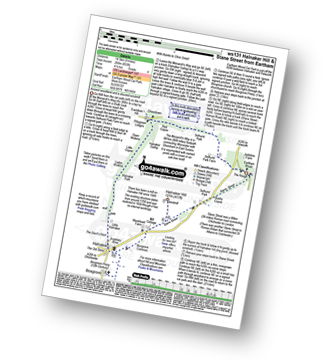
Walk ws131 Halnaker Hill and Stane Street from Eartham

Ancient woodland and a disused windmill

Download GPS Waypoint Data for walk ws131
Download GPX Waypoint Data for walk ws131
Download Map and Route Details for walk ws131

Vital Statistics:

Length:9 miles (14.5 km)
Ascent:853ft (260m)
Time:4.25hrs
Grade:Grade 4 Walking Moderate
Walk 16 Walking Bootprint Icon

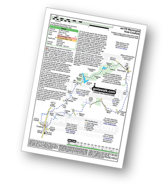
Walk ws178 Warninglid from Cowfold

Quiet walking through field and woodland

Download GPS Waypoint Data for walk ws178
Download GPX Waypoint Data for walk ws178
Download Map and Route Details for walk ws178

Vital Statistics:

Length:9 miles (14.5 km)
Ascent:951ft (290m)
Time:4 hrs
Grade:Grade 4 Walking Moderate
Walk 17 Walking Bootprint Icon

Walk ws140 Jack and Jill and Wolstonbury Hill from Clayton

Fine Views across the Sussex Downs

Download GPS Waypoint Data for walk ws140
Download GPX Waypoint Data for walk ws140
Download Map and Route Details for walk ws140

Vital Statistics:

Length:4.5 miles (7 km)
Ascent:754ft (230m)
Time:2½ hrs
Grade:Grade 3 Walking Easy
Walk 18 Walking Bootprint Icon

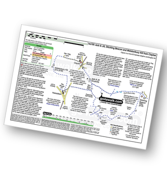
Walk ws100 Ditchling Beacon and Wolstonbury Hill from Clayton

Fine Views across the Sussex Downs

Download GPS Waypoint Data for walk ws100
Download GPX Waypoint Data for walk ws100
Download Map and Route Details for walk ws100

Vital Statistics:

Length:9 miles (14.5 km)
Ascent:1,594ft (486m)
Time:5 hrs
Grade:Grade 5 Walking Moderate
Walk 19 Walking Bootprint Icon

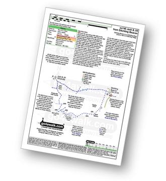
Walk es145 Jack and Jill from Ditchling Beacon

Stunning views

Download GPS Waypoint Data for walk es145
Download GPX Waypoint Data for walk es145
Download Map and Route Details for walk es145

Vital Statistics:

Length:5.5 miles (9 km)
Ascent:804ft (245m)
Time:2.75hrs
Grade:Grade 3 Walking Easy
Walk 20 Walking Bootprint Icon

Walk ws130 Slaugham from Warninglid

Quiet country stroll

Download GPS Waypoint Data for walk ws130
Download GPX Waypoint Data for walk ws130
Download Map and Route Details for walk ws130

Vital Statistics:

Length:4 miles (6.5 km)
Ascent:328ft (100m)
Time:2 hrs
Grade:Grade 2 Walking Easy
Walk 21 Walking Bootprint Icon

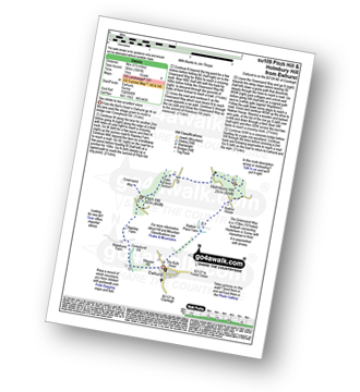
Walk su109 Pitch Hill and Holmbury Hill from Ewhurst

Two climbs to two excellent views

Download GPS Waypoint Data for walk su109
Download GPX Waypoint Data for walk su109
Download Map and Route Details for walk su109

Vital Statistics:

Length:5.5 miles (9 km)
Ascent:1,001ft (305m)
Time:3 hrs
Grade:Grade 4 Walking Moderate
Walk 22 Walking Bootprint Icon

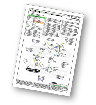
Walk ha159 Wheatham Hill from Hawkley

Good views & quiet countryside

Download GPS Waypoint Data for walk ha159
Download GPX Waypoint Data for walk ha159
Download Map and Route Details for walk ha159

Vital Statistics:

Length:5.25 miles (8.5 km)
Ascent:994ft (303m)
Time:3 hrs
Grade:Grade 4 Walking Moderate
Walk 23 Walking Bootprint Icon

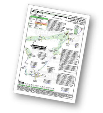
Walk su120 Holmbury Hill, Pitch Hill and Ewhurst from Holmbury St Mary

Two hills and a delightful village

Download GPS Waypoint Data for walk su120
Download GPX Waypoint Data for walk su120
Download Map and Route Details for walk su120

Vital Statistics:

Length:10.25 miles (16.5 km)
Ascent:1,933ft (589m)
Time:5.75hrs
Grade:Grade 6 Walking Moderate
Walk 24 Walking Bootprint Icon

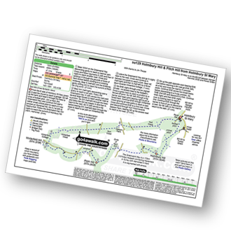
Walk su129 Holmbury Hill and Pitch Hill from Holmbury St Mary

Two hills and two fantastic views

Download GPS Waypoint Data for walk su129
Download GPX Waypoint Data for walk su129
Download Map and Route Details for walk su129

Vital Statistics:

Length:8.25 miles (13 km)
Ascent:1,634ft (498m)
Time:4½ hrs
Grade:Grade 5 Walking Moderate
Walk 25 Walking Bootprint Icon

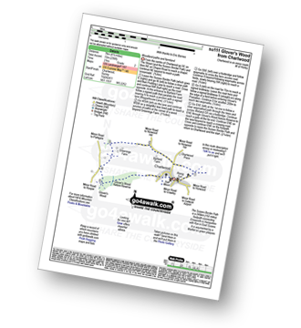
Walk su111 Glover's Wood from Charlwood

Woodland paths and farmland

Download GPS Waypoint Data for walk su111
Download GPX Waypoint Data for walk su111
Download Map and Route Details for walk su111

Vital Statistics:

Length:4.5 miles (7 km)
Ascent:236ft (72m)
Time:2 hrs
Grade:Grade 2 Walking Easy
Walk 26 Walking Bootprint Icon

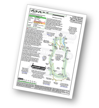
Walk su100 Leith Hill from Friday Street

The highest point in Surrey

Download GPS Waypoint Data for walk su100
Download GPX Waypoint Data for walk su100
Download Map and Route Details for walk su100

Vital Statistics:

Length:5.5 miles (9 km)
Ascent:768ft (234m)
Time:3 hrs
Grade:Grade 3 Walking Easy
Walk 27 Walking Bootprint Icon

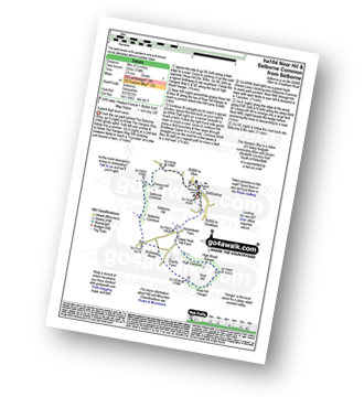
Walk ha104 Noar Hil and Selborne Common from Selborne

Superb high level views

Download GPS Waypoint Data for walk ha104
Download GPX Waypoint Data for walk ha104
Download Map and Route Details for walk ha104

Vital Statistics:

Length:5.5 miles (9 km)
Ascent:738ft (225m)
Time:2.75hrs
Grade:Grade 3 Walking Easy
Walk 28 Walking Bootprint Icon

Walk ha167 Shortheath from Selborne

Delightful quiet woodland

Download GPS Waypoint Data for walk ha167
Download GPX Waypoint Data for walk ha167
Download Map and Route Details for walk ha167

Vital Statistics:

Length:7 miles (11 km)
Ascent:515ft (157m)
Time:3 hrs
Grade:Grade 3 Walking Easy
Walk 29 Walking Bootprint Icon

Walk es131 Cuckmere Haven from Westdean

Lovely riverside walk

Download GPS Waypoint Data for walk es131
Download GPX Waypoint Data for walk es131
Download Map and Route Details for walk es131

Vital Statistics:

Length:6 miles (9.5 km)
Ascent:729ft (222m)
Time:3 hrs
Grade:Grade 3 Walking Easy
Walk 30 Walking Bootprint Icon

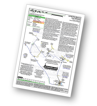
Walk es144 Firle Beacon from Alfriston

Fine downland walk with good views

Download GPS Waypoint Data for walk es144
Download GPX Waypoint Data for walk es144
Download Map and Route Details for walk es144

Vital Statistics:

Length:9.75 miles (15.5 km)
Ascent:1,122ft (342m)
Time:4.75hrs
Grade:Grade 5 Walking Moderate

Do not miss our pick of the Best Walks in the UK


Follow go4awalk.com on Twitter Follow go4awalk.com on Facebook


Do not miss our pick of the Best Walks in the UK